Skeete Wood

Wood, Forest in Kent Shepway

England

Skeete Wood

Stream by the North Downs Way in Stowting
Stream by the North Downs Way in Stowting Credit: Dave Kelly

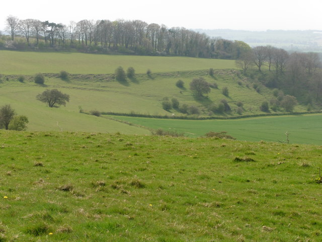
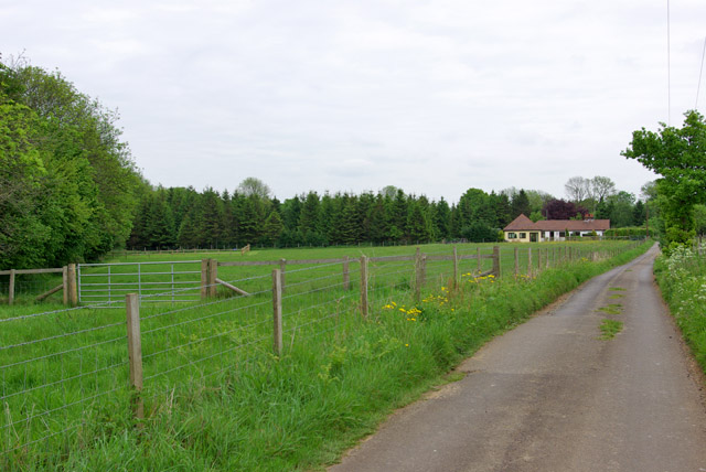
Skeete Wood, located in the county of Kent in southeastern England, is a picturesque forest that offers visitors a serene and enchanting experience. Covering an area of approximately 100 acres, the wood is nestled within the stunning Kent Downs Area of Outstanding Natural Beauty.

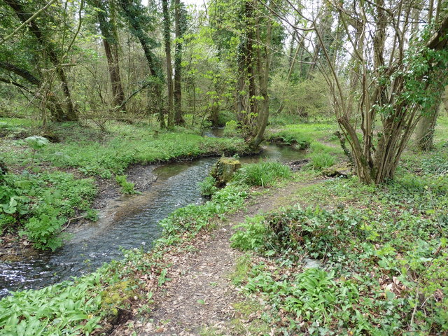
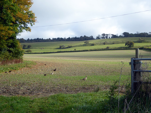
The wood boasts a diverse range of tree species, including oak, beech, and chestnut, which create a vibrant and ever-changing landscape throughout the seasons. It is also home to a rich variety of wildlife, with deer, rabbits, and a multitude of bird species often spotted among the trees.

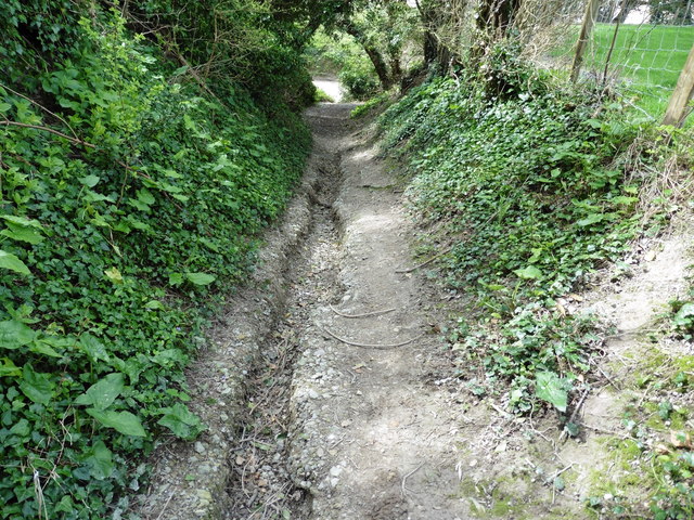
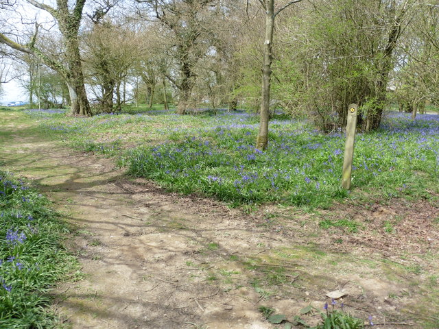
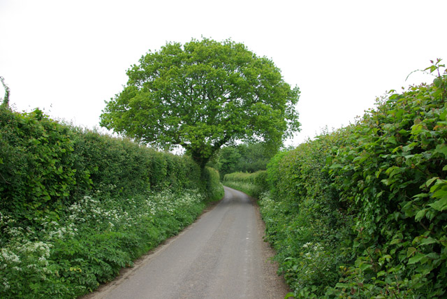
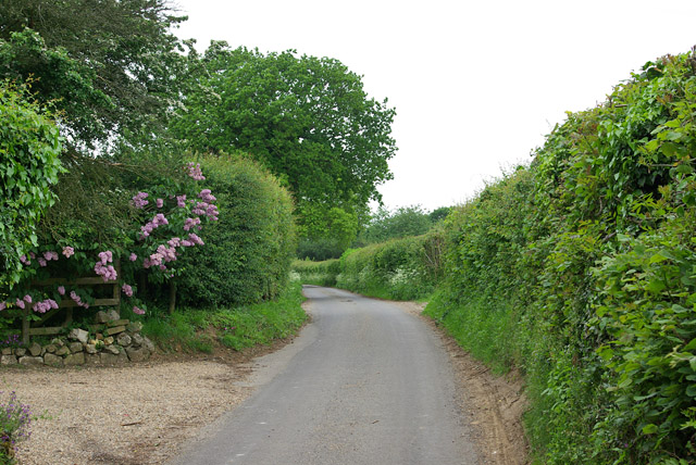
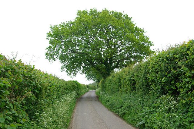
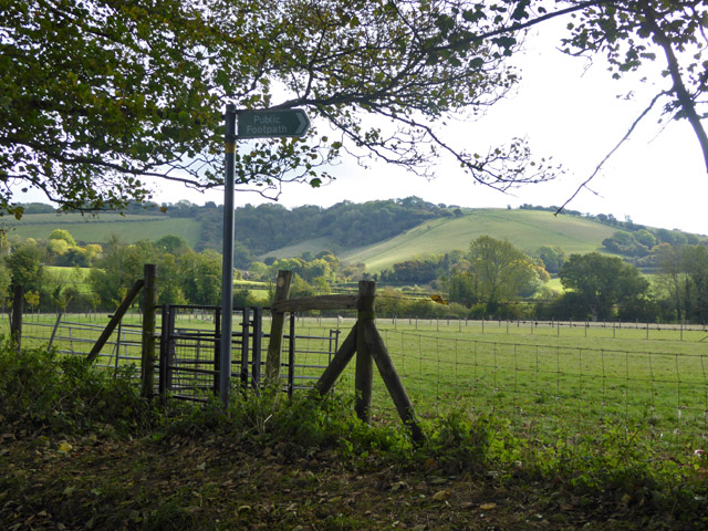
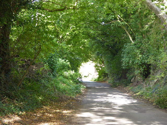
Walking through Skeete Wood is a truly immersive experience, with well-maintained footpaths winding their way through the forest. These paths offer visitors the chance to explore the wood at their own pace and take in the breathtaking natural beauty that surrounds them.

The wood is a haven for nature lovers and photographers alike, with its dense foliage and dappled sunlight providing a stunning backdrop for capturing memorable moments. Nature enthusiasts can also enjoy the abundance of flora and fauna that thrives within the wood, with bluebells carpeting the forest floor in the spring and a variety of mushrooms and fungi popping up during the autumn months.

Skeete Wood, with its tranquil ambiance and natural splendor, offers a welcome retreat from the hustle and bustle of everyday life. Whether it's a leisurely stroll, a family picnic, or simply a moment of solitude in nature, this charming woodland destination has something to offer everyone.

If you have any feedback on the listing, please let us know in the comments section below.
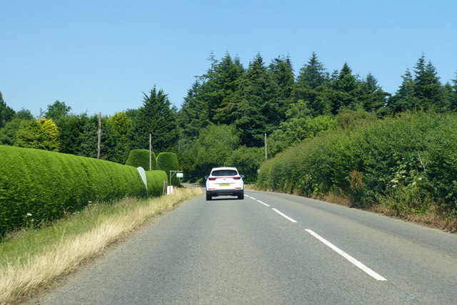
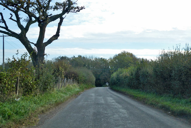
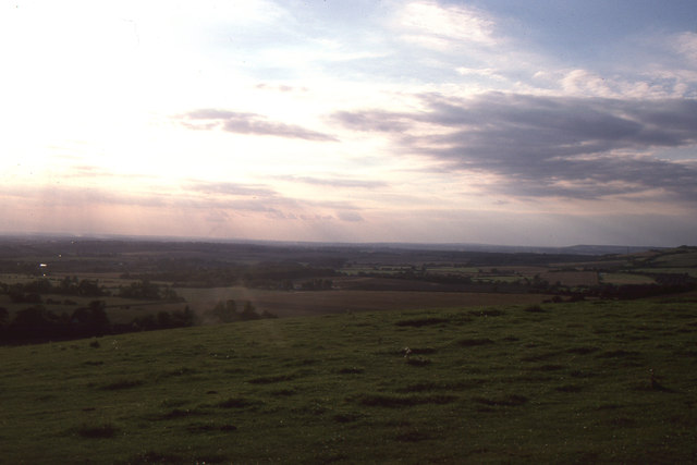
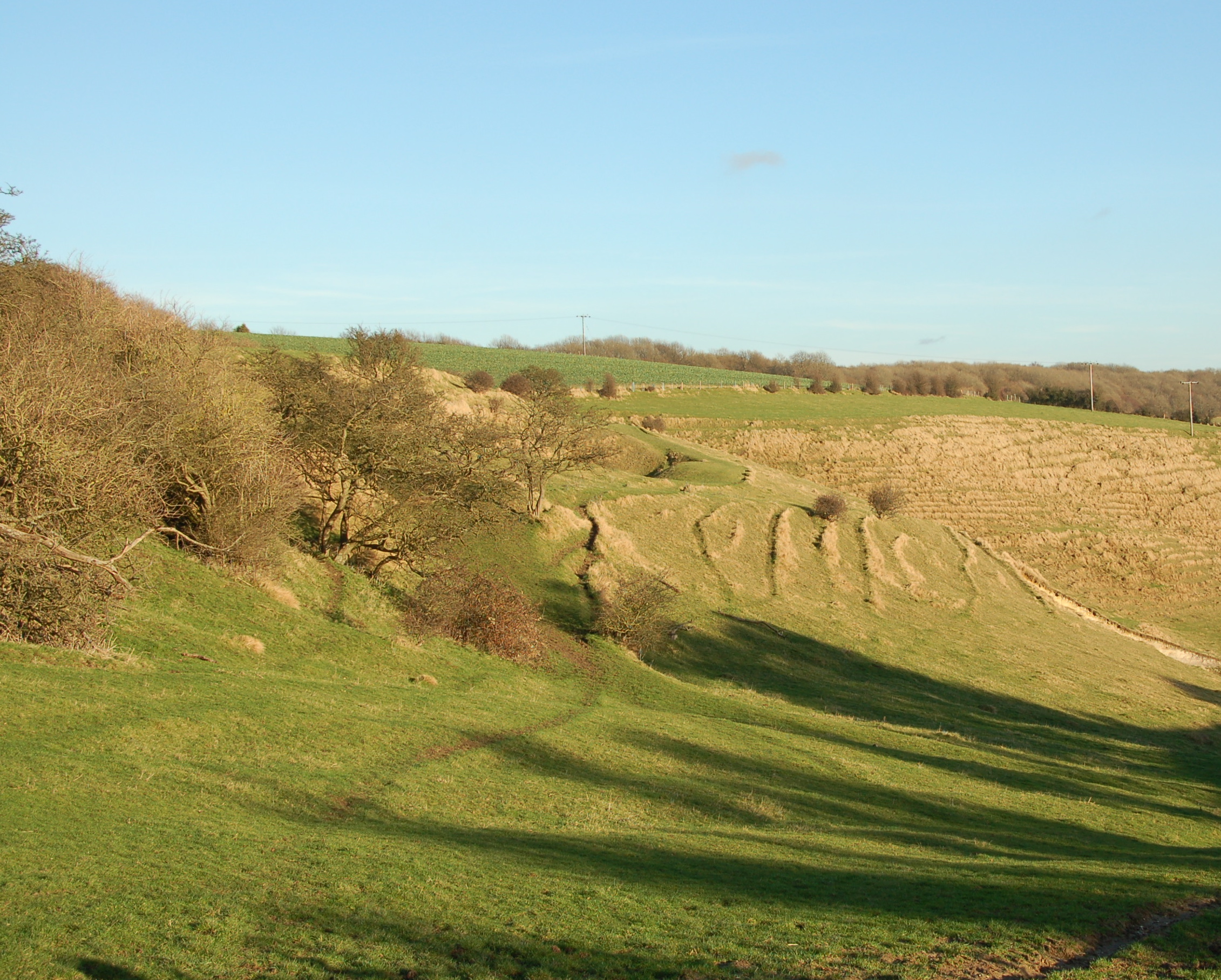
Skeete Wood Images

Images are sourced within 2km of 51.126773/1.0515445 or Grid Reference TR1340. Thanks to Geograph Open Source API. All images are credited.

Stream by the North Downs Way in Stowting
The North Downs Way near Whiteway
View towards Hempton Lodge Farm from the North Downs Way
The North Downs Way on Farthing Common
Green Lane towards Rhodes Minnis
Woodland Road Heading away from Lyminge.
Woodland Road
Heading away from Lyminge.
Woodland Road Heading away from Lyminge.
Woodland Road
Heading away from Lyminge.
Woodland Road Heading towards Lyminge.
Woodland Road
Heading towards Lyminge.
The North Downs Way at Farthing Common
Country east of Hempton Lodge Farm
Monks Horton church St. Peter's is a grade II*(star) listed building, 13th/14th centuries.
Monks Horton church
St. Peter's is a grade II*(star) listed building, 13th/14th centuries.
Cobb's Hill, Stowting There is a footpath up the hill, but not this one.
Cobb's Hill, Stowting
There is a footpath up the hill, but not this one.
Stowting Hill Heading north.
Stowting Hill
Heading north.
Stone Street towards Canterbury Passing on the left Roundwood Hall and its small golf course.
Stone Street towards Canterbury
Passing on the left Roundwood Hall and its small golf course.
Road towards Lyminge and Etchinghill Routes diverge at the end of the straight, Lyminge to the left.
Road towards Lyminge and Etchinghill
Routes diverge at the end of the straight, Lyminge to the left.
Farthing Common: view towards Romney Marsh
Farthing Common: evening view towards Straits of Dover
Panorama of Skeet and Woodland As seen from <a href="https://www.geograph.org.uk/photo/1955922">TR1541 : Bench and stile</a>.
A footpath leads through the field towards Skeet Road and the small village of Skeet on the left.

On the right, across the valley is the village of Woodland on Woodland Road.
Panorama of Skeet and Woodland
As seen from TR1541 : Bench and stile. A footpath leads through the field towards Skeet Road and the small village of Skeet on the left. On the right, across the valley is the village of Woodland on Woodland Road.
Show me another place!

Skeete Wood is located at Grid Ref: TR1340 (Lat: 51.126773, Lng: 1.0515445)

Administrative County: Kent

District: Shepway

Police Authority: Kent

What 3 Words

///corporate.dote.seating. Near Lyminge, Kent

Nearby Locations

Skeete Wood

Related Wikis

Farthing Common

Farthing Common is an area of common land about 10 km northwest of Folkestone in East Kent. It is one of the highest points of the North Downs at 185 metres...

Stowting

Stowting is a village and civil parish in the English county of Kent. It is 6 miles (9.7 km) east of Ashford, 7 miles (11 km) north-west of Folkestone...

Postling

Postling is a village and civil parish situated near the Roman road of Stone Street, about 17 miles (27 km) south of Canterbury, Kent, in South East England...

Monks Horton

Monks Horton is a small civil parish in the Folkestone and Hythe district of Kent, England. It is located 3 miles (5 km) north of Hythe. Within the civil...

Nearby Amenities

Located within 500m of 51.126773,1.0515445
Barrier: kissing_gate
Foot: yes
Lat/Long: 51.1229863/1.050988
Bus Stop
Farthing Common
Flag: no
Naptan AtcoCode: 2400100037
Naptan Bearing: N
Naptan BusStopType: CUS
Naptan CommonName: Farthing Common
Naptan Indicator: opp
Naptan Landmark: Farthing Common
Naptan NaptanCode: kntgwagt
Naptan Street: Stone Street
Naptan Verified: no
Public Transport: platform
Source: naptan_import
Lat/Long: 51.1224592/1.0511239
Bus Stop
Farthing Common
Flag: no
Naptan AtcoCode: 2400100039
Naptan Bearing: S
Naptan BusStopType: CUS
Naptan CommonName: Farthing Common
Naptan Indicator: adj
Naptan Landmark: Farthing Common
Naptan NaptanCode: kntgwagw
Naptan Street: Stone Street
Naptan Verified: no
Public Transport: platform
Source: naptan_import
Lat/Long: 51.1224177/1.0513356
Barrier: kissing_gate
Foot: yes
Lat/Long: 51.1272879/1.0476003
Farthing Common
Tourism: viewpoint
Lat/Long: 51.1227425/1.0513369
Railway: level_crossing
Lat/Long: 51.1292917/1.0553219
Railway: level_crossing
Lat/Long: 51.1289631/1.0567367
The data included in this document is from www.openstreetmap.org. The data is made available under ODbL.

Have you been to Skeete Wood?

Leave your review of Skeete Wood below (or comments, questions and feedback).