Iffin Wood
Wood, Forest in Kent Canterbury
England
Iffin Wood
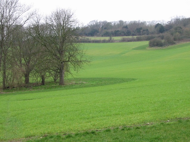
Iffin Wood, located in Kent, England, is a beautiful and serene forest that covers an area of approximately 87 hectares. It is situated near the village of Iffin, just east of the historic city of Canterbury. This woodland is a popular destination for nature enthusiasts, hikers, and birdwatchers due to its diverse flora and fauna.
The forest is predominantly composed of broadleaved trees such as oak, ash, and beech, which create a dense canopy that provides shade and shelter for a variety of wildlife. Additionally, the forest floor is covered with a rich carpet of bluebells during the spring season, adding a splash of vibrant color to the landscape.
Iffin Wood is crisscrossed by a network of well-maintained footpaths, allowing visitors to explore its hidden treasures. Along these paths, one can discover a plethora of wildlife, including deer, badgers, foxes, and a wide array of bird species. Birdwatchers often spot woodpeckers, tits, and thrushes among the treetops.
The forest also boasts a small pond, which serves as a watering hole for birds and other animals. This tranquil spot is a favorite among photographers, who capture the reflections of the surrounding trees on the still water.
Iffin Wood offers a peaceful retreat away from the hustle and bustle of city life. Whether it's a leisurely stroll, a picnic among the trees, or an opportunity to observe the wonders of nature, this enchanting forest provides an idyllic setting for those seeking solace in the heart of Kent.
If you have any feedback on the listing, please let us know in the comments section below.
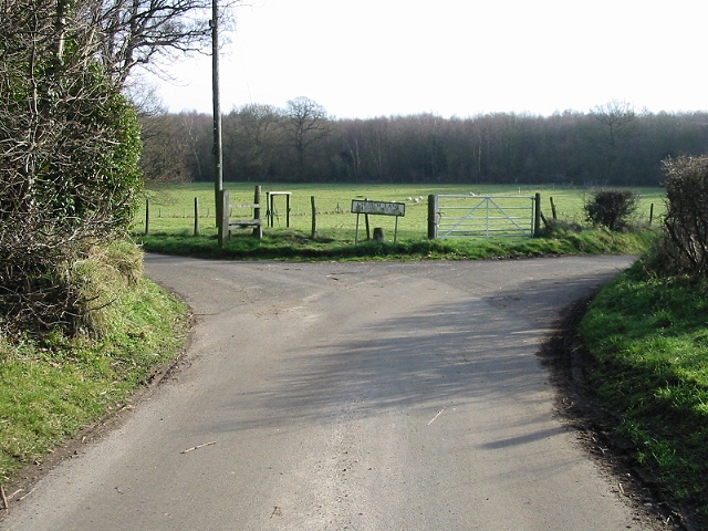
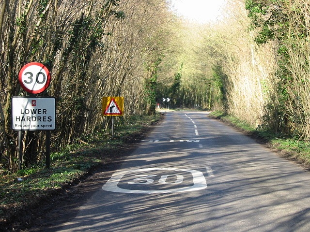
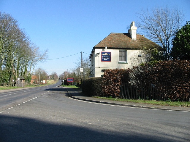
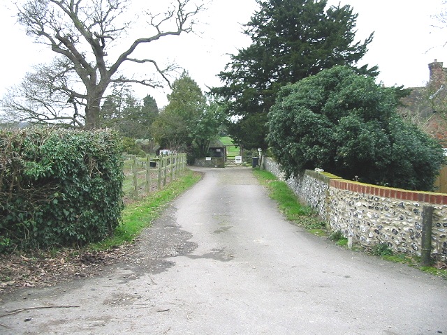
Iffin Wood Images
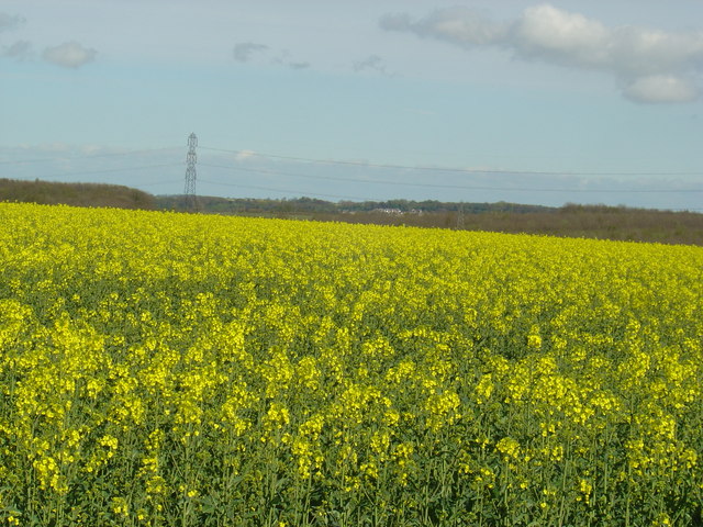
Images are sourced within 2km of 51.243415/1.0588043 or Grid Reference TR1353. Thanks to Geograph Open Source API. All images are credited.


Iffin Wood is located at Grid Ref: TR1353 (Lat: 51.243415, Lng: 1.0588043)
Administrative County: Kent
District: Canterbury
Police Authority: Kent
What 3 Words
///tracks.scrapping.straying. Near Chartham, Kent
Nearby Locations
Related Wikis

St Augustine's Hospital, Chartham
St Augustine's Hospital was a psychiatric hospital in Chartham, Kent, England. It was founded as the second, or East, Kent County Asylum in 1872. In 1948...

Lower Hardres
Lower Hardres is a village and former civil parish, now in the parish of Lower Hardres and Nackington, in the City of Canterbury district of Kent, England...

Larkey Valley Wood
Larkey Valley Wood is a 44.1-hectare (109-acre) biological Site of Special Scientific Interest south of Canterbury in Kent. It is also a Local Nature Reserve...

Nackington
Nackington is an English village and former civil parish, now in the parish of Lower Hardres and Nackington, south of Canterbury in the Canterbury district...

Petham
Petham is a rural village and civil parish in the North Downs, five miles south of Canterbury in Kent, South East England. The village church is All Saints...

Simon Langton Grammar School for Boys
Simon Langton Grammar School for Boys (also known as The Langton Grammar School for Boys and simply referred to as The Langton) is an 11–18 foundation...

Chartham
Chartham is a village and civil parish in the Canterbury district of Kent, England. It is situated on the Ashford side of the city, and is in the North...

Thanington
Thanington is a civil parish on the west edge of Canterbury, Kent, United Kingdom. It extends to the south-west of A2 from Wincheap to the Milton Bridge...
Nearby Amenities
Located within 500m of 51.243415,1.0588043Have you been to Iffin Wood?
Leave your review of Iffin Wood below (or comments, questions and feedback).