Church Plantation

Wood, Forest in Norfolk South Norfolk

England

Church Plantation

Honingham: Blind Lane
Honingham: Blind Lane Credit: Michael Garlick

Church Plantation, Norfolk (Wood, Forest) is a picturesque and serene enclave located in the southeastern region of Virginia, United States. Situated in Norfolk County, this residential community is nestled amidst lush woodlands and verdant forests, providing residents with a tranquil and nature-centric living experience.

The neighborhood of Church Plantation boasts an abundance of mature trees and well-maintained green spaces, creating a serene environment for residents to enjoy. The natural beauty of the area is a major draw for nature enthusiasts and those seeking a peaceful retreat from the hustle and bustle of city life.

The housing in Church Plantation primarily consists of single-family homes, each uniquely designed and nestled within the natural landscape. The properties often feature spacious yards, providing ample space for outdoor activities and gardening. The neighborhood exudes a charming and friendly atmosphere, which is further enhanced by the well-maintained streets and sidewalks.

Conveniently located, Church Plantation offers easy access to major transportation routes, including highways and interstates, allowing residents to commute to nearby cities such as Norfolk and Virginia Beach with ease. Additionally, the neighborhood is in close proximity to a range of amenities, including shopping centers, restaurants, parks, and recreational facilities.

Overall, Church Plantation, Norfolk (Wood, Forest) is a desirable residential community that offers residents a harmonious blend of natural beauty, tranquility, and convenient access to essential amenities. With its serene surroundings and friendly atmosphere, this neighborhood provides an idyllic setting for individuals and families seeking a peaceful and nature-oriented lifestyle.

If you have any feedback on the listing, please let us know in the comments section below.

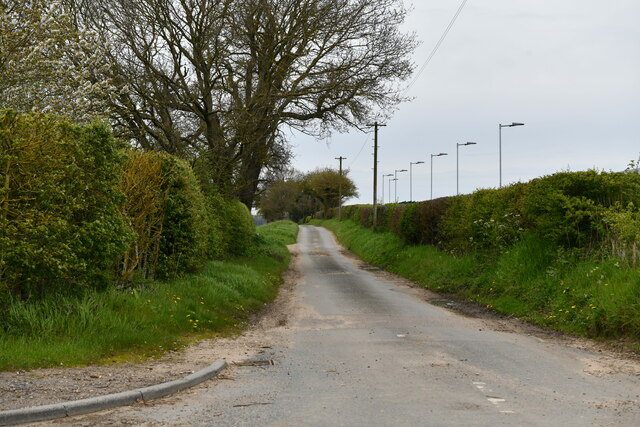
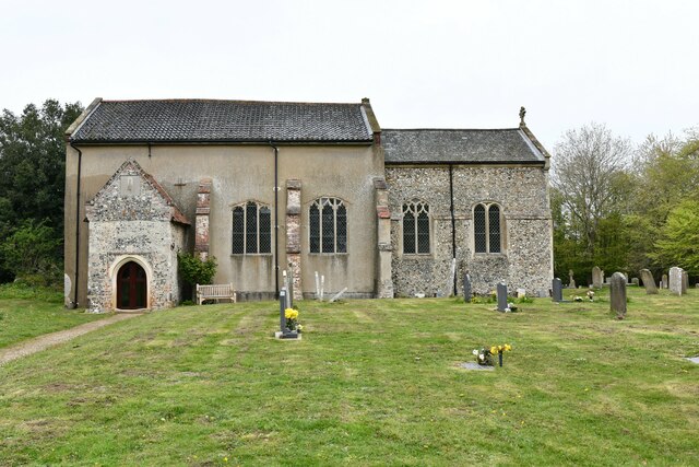
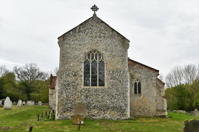
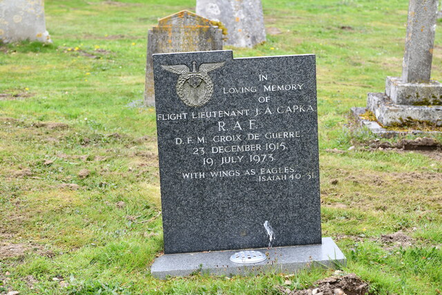
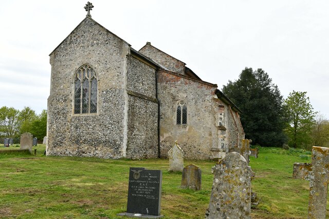
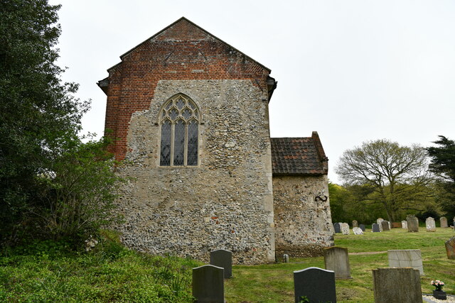
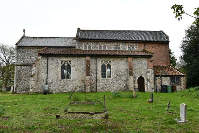
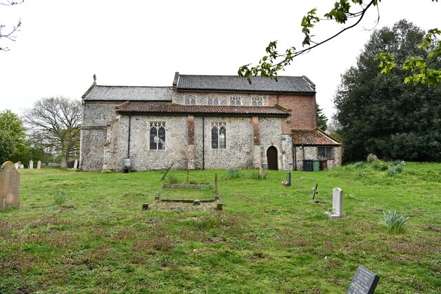
Church Plantation Images

Images are sourced within 2km of 52.656258/1.1524274 or Grid Reference TG1311. Thanks to Geograph Open Source API. All images are credited.

Honingham: Blind Lane
Easton: Food Enterprise Park
Easton: Stylish rubbish bin
Easton, St. Peter's Church: The rendered nave, southern aspect
Easton, St. Peter's Church: Southern aspect
Easton, St. Peter's Church: Eastern aspect
Easton, St. Peter's Church: Grave of Flight Lieutenant J.A Capka
Easton, St. Peter's Church: North eastern aspect
Easton, St. Peter's Church: Western aspect
Easton, St. Peter's Church: Northern aspect
Easton, St. Peter's Church: Sundial on the south porch
Easton, St. Peter's Church: Milestone in front of the church
Easton, St. Peter's Church: Norman south doorway (detail) 1
Easton, St. Peter's Church: Norman south doorway (detail) 2
Easton, St. Peter's Church: Norman south doorway (detail) 3
Easton, St. Peter's Church: Norman south doorway (detail) 4
Easton, St. Peter's Church: Norman south doorway (detail) 5
Show me another place!

Church Plantation is located at Grid Ref: TG1311 (Lat: 52.656258, Lng: 1.1524274)

Administrative County: Norfolk

District: South Norfolk

Police Authority: Norfolk

What 3 Words

///plates.flotation.bridges. Near Costessey, Norfolk

Related Wikis

Easton, Norfolk

Easton is a village and civil parish in the English county of Norfolk. The village is located 6.2 miles (10.0 km) north-west of Norwich and 9 miles (14...

Easton College

Easton College is a college of further and higher education in Norfolk, United Kingdom. It is located on a 200-hectare (490-acre) campus in the village...

Marlingford

Marlingford is a village and former civil parish, 6 miles (9.7 km) west of Norwich, now in the parish of Marlingford and Colton, in the South Norfolk district...

Marlingford and Colton

Marlingford and Colton, formerly Marlingford is a civil parish in the English county of Norfolk, made from the villages of Colton and Marlingford. It covers...

Nearby Amenities

Located within 500m of 52.656258,1.1524274
Bus Stop
Chez Denis, adj
Naptan AtcoCode: 2900E021
Naptan Bearing: E
Naptan CommonName: Chez Denis
Naptan Indicator: adj
Naptan Locality: Easton
Naptan NaptanCode: nfoapamd
Naptan Street: Dereham Road
Naptan Verified: no
Public Transport: platform
Source: naptan_import
Lat/Long: 52.6540198/1.1561133
Bus Stop
Chez Denis, opp
Naptan AtcoCode: 2900E023
Naptan Bearing: W
Naptan CommonName: Chez Denis
Naptan Indicator: opp
Naptan Locality: Easton
Naptan NaptanCode: nfoapamj
Naptan Street: Dereham Road
Naptan Verified: no
Public Transport: platform
Source: naptan_import
Lat/Long: 52.6540072/1.1545596
Easton
Place: village
Wikidata: Q2028125
Wikipedia: en:Easton, Norfolk
Lat/Long: 52.6533294/1.1573613
Turning Circle
Lat/Long: 52.6535106/1.154143
Barrier: bollard
Material: concrete
Lat/Long: 52.6546017/1.1548735
Give Way
Lat/Long: 52.6540784/1.1550778
Crossing
Crossing: unmarked
Lat/Long: 52.6549837/1.1548775
Crossing
Crossing: unmarked
Lat/Long: 52.6548794/1.1546121
Barrier: bollard
Material: concrete
Lat/Long: 52.6551256/1.1545494
Crossing
Crossing: unmarked
Crossing Island: no
Tactile Paving: no
Lat/Long: 52.6552286/1.1499729
Crossing
Crossing: unmarked
Crossing Island: no
Tactile Paving: no
Lat/Long: 52.6550896/1.1499693
Post Box
Collection Times: Mo-Fr 17:00; Sa 10:30
Operator: Royal Mail
Post Box Type: lamp
Ref: NR9 940
Royal Cypher: EIIR
Royal Cypher Wikidata: Q33102113
Lat/Long: 52.6529097/1.1557702
Board Type: notice
Information: board
Lat/Long: 52.6528832/1.1556727
Location Transition: yes
Power: pole
Lat/Long: 52.6546291/1.1549402
Power: pole
Lat/Long: 52.6551244/1.1546058
Power: pole
Lat/Long: 52.6554626/1.1544206
Note: Unsure what happens north of here
Power: pole
Lat/Long: 52.6558059/1.1542422
Grit Bin
Lat/Long: 52.6541872/1.1476039
Street Lamp
Lat/Long: 52.6542409/1.1476227
Milestone
Colour: white
Distance Dereham: 10 mi
Distance Norwich: 6 mi
Material: stone
Lat/Long: 52.6542552/1.1478346
Location Transition: yes
Power: pole
Transformer: distribution
Lat/Long: 52.6543532/1.1485621
Entrance: main
Lat/Long: 52.6545324/1.1476613
Power: pole
Lat/Long: 52.6552481/1.1484159
Power: pole
Lat/Long: 52.6557456/1.1490912
Power: pole
Lat/Long: 52.6564184/1.1499555
Power: pole
Lat/Long: 52.6571115/1.1508755
Power: pole
Lat/Long: 52.6579038/1.1518867
Power: pole
Lat/Long: 52.6583663/1.1524935
Location Transition: yes
Power: pole
Transformer: distribution
Lat/Long: 52.6588011/1.1530293
Post Office
Easton Post Office
Addr City: Norwich
Addr Housename: Easton Village Hall
Addr Postcode: NR9 5AD
Addr Street: Marlingford Road
Addr Village: Easton
Brand: Post Office
Brand Wikidata: Q1783168
Fixme: Find precise location in hall
Opening Hours: Tu,Th 09:00-14:00
Ref Pol Id: 1021
Source: pol_branch_list_2018-01
Source Opening Hours: pol_branch_list_2018-02
Lat/Long: 52.6529447/1.1556268
Crossing
Crossing: unmarked
Lat/Long: 52.6541327/1.1550705
Crossing
Crossing: unmarked
Lat/Long: 52.654224/1.1540105
Bench
Backrest: yes
Colour: brown
Material: wood
Seats: 4
Lat/Long: 52.6541681/1.154978
Easton
Inscription: This sign was erected to commemorate the Silver Jubilee of H.M.Queen Elizabeth II / 1952 - 1977
Man Made: village_sign
Material: wood
Start Date: 1977
Lat/Long: 52.6541698/1.1550316
Give Way
Lat/Long: 52.6539916/1.155206
Give Way
Lat/Long: 52.6540266/1.1555681
Crossing
Crossing: unmarked
Lat/Long: 52.6540888/1.1540243
Give Way
Lat/Long: 52.6541169/1.1540312
The data included in this document is from www.openstreetmap.org. The data is made available under ODbL.

Have you been to Church Plantation?

Leave your review of Church Plantation below (or comments, questions and feedback).