Walcot Wood
Wood, Forest in Norfolk South Norfolk
England
Walcot Wood

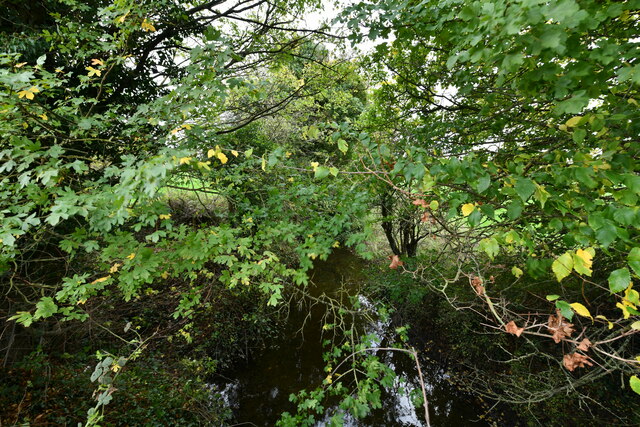
Walcot Wood is a picturesque woodland located in the county of Norfolk, England. Situated near the village of Walcot, this woodland area covers a vast expanse of approximately 100 acres. The wood is known for its rich biodiversity and natural beauty, making it a popular destination for nature enthusiasts and hikers alike.
The wood is primarily composed of native tree species such as oak, beech, and birch, which create a dense canopy and provide a habitat for a variety of wildlife. It is also home to a diverse range of plant species, including bluebells, wild garlic, and ferns, which flourish in the shaded understory.
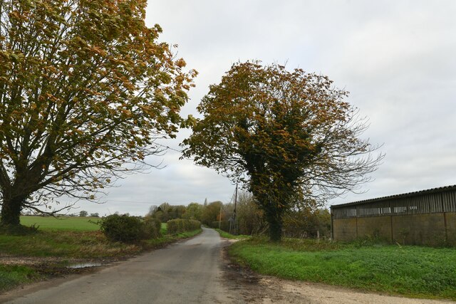
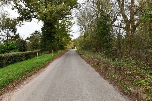
Trails and footpaths wind their way through the wood, offering visitors the opportunity to explore its many hidden treasures. The paths are well-maintained, making it easy for both casual walkers and experienced hikers to navigate the terrain. Additionally, there are several benches scattered throughout the woodland, providing a peaceful spot for visitors to rest and take in the tranquil surroundings.
Walcot Wood is known for its abundance of wildlife, including deer, foxes, badgers, and a variety of bird species. Birdwatchers can often spot woodpeckers, owls, and various songbirds within the wood. The wood is also home to a population of red squirrels, a rare and protected species in the UK.
Overall, Walcot Wood offers a serene and immersive experience for those seeking to connect with nature. Its diverse ecosystem, well-maintained trails, and abundant wildlife make it a must-visit destination for anyone exploring the Norfolk countryside.
If you have any feedback on the listing, please let us know in the comments section below.
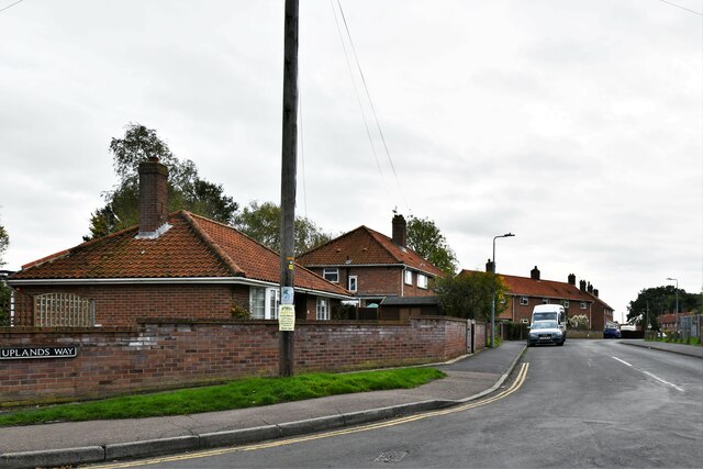
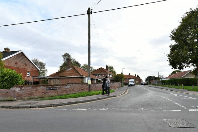
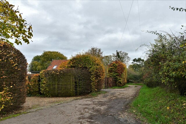
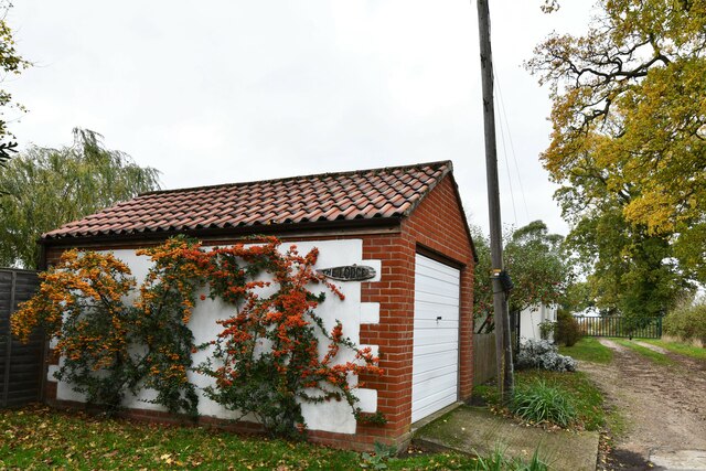
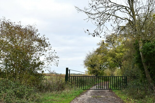
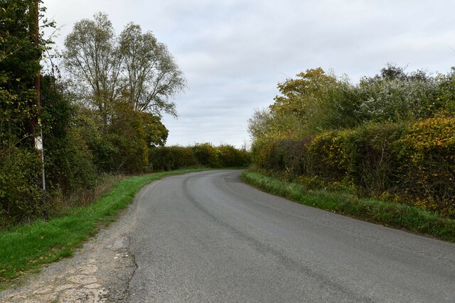
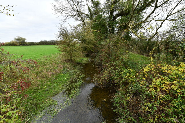
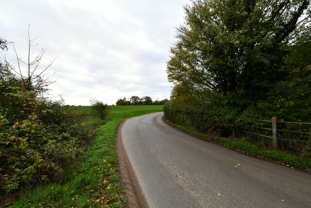
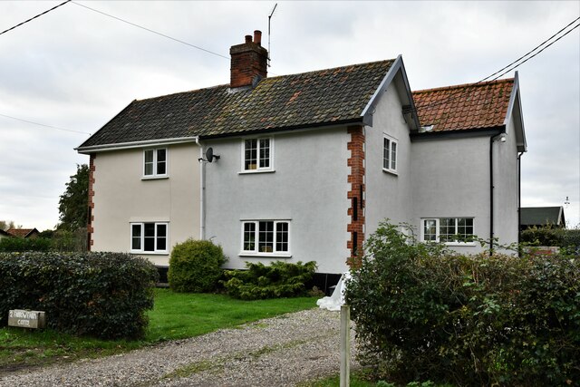
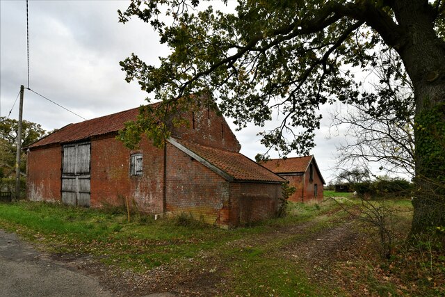
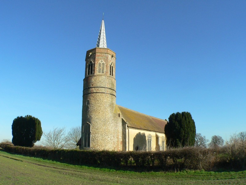
Walcot Wood Images
Images are sourced within 2km of 52.390091/1.1333991 or Grid Reference TM1381. Thanks to Geograph Open Source API. All images are credited.


Walcot Wood is located at Grid Ref: TM1381 (Lat: 52.390091, Lng: 1.1333991)
Administrative County: Norfolk
District: South Norfolk
Police Authority: Norfolk
What 3 Words
///pastime.snuggled.resurgent. Near Diss, Norfolk
Nearby Locations
Related Wikis

St Andrew's Church, Frenze
St Andrew's Church is a redundant Anglican church in the civil parish of Scole, Norfolk, England. It is recorded in the National Heritage List for England...
Burston and Shimpling
Burston and Shimpling is a civil parish in the county of Norfolk, England. The parish covers an area of 9.17 km2 (3.54 sq mi) and had a population of 538...

Burston, Norfolk
Burston is a village and former civil parish, now in the parish of Burston and Shimpling, in the South Norfolk district, in the county of Norfolk, England...

Burston Strike School
The Burston Strike School was founded as a consequence of a school strike and became the centre of the longest running strike in British history, that...

Diss High School
Diss High School is a secondary school and sixth form with academy status located in Diss, Norfolk, England. The school has approximately 931 pupils from...
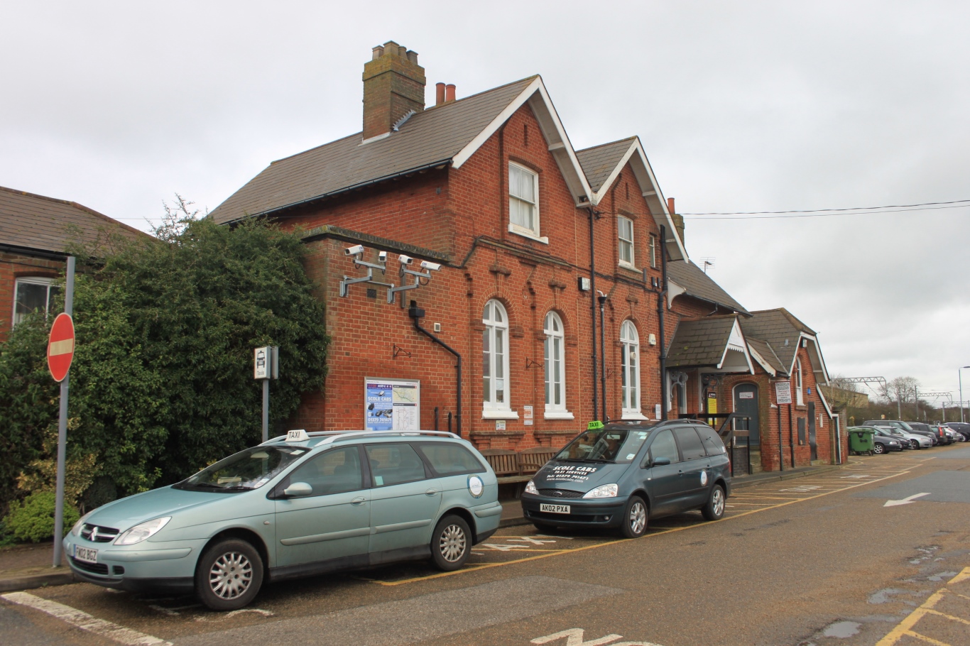
Diss railway station
Diss railway station is on the Great Eastern Main Line in the East of England, serving the market town of Diss, Norfolk. It is 94 miles 43 chains (152...

Diss, Norfolk
Diss is a market town and electoral ward in South Norfolk, England, near the boundary with Suffolk, with a population of 7,572 in 2011. Diss railway station...

Burston railway station
Burston railway station was on the Diss to Norwich line and served the village of Burston, Norfolk. Only the station building remains; the signal box has...
Nearby Amenities
Located within 500m of 52.390091,1.1333991Have you been to Walcot Wood?
Leave your review of Walcot Wood below (or comments, questions and feedback).