Longtye Wood

Wood, Forest in Kent Canterbury

England

Longtye Wood

Whitstable from the air Tankerton and its beach are prominent in this view which was taken from a Gatwick bound flight from Prague.

See also <a href="https://www.geograph.org.uk/photo/7091170">TR1265 : Whitstable from the air</a>.
Whitstable from the air Credit: Thomas Nugent

Longtye Wood is a picturesque forest located in the county of Kent, England. Covering an area of approximately 100 acres, this woodland is known for its natural beauty and diverse range of flora and fauna.

The wood is characterized by its dense canopy of towering oak, beech, and birch trees, which provide a habitat for a variety of woodland creatures. Visitors to Longtye Wood can often spot deer, foxes, badgers, and numerous species of birds, including woodpeckers, owls, and songbirds.

The forest floor is covered with an array of wildflowers, ferns, and mosses, creating a vibrant and enchanting atmosphere. In spring, bluebells carpet the ground, creating a stunning display of color. During autumn, the wood comes alive with the vibrant hues of changing leaves, providing a breathtaking spectacle.

Longtye Wood is a popular destination for nature enthusiasts, hikers, and photographers. It offers a network of well-maintained walking trails that wind through the forest, allowing visitors to explore the woodland at their own pace. These trails lead to secluded clearings and tranquil ponds, providing peaceful spots for relaxation and picnics.

The wood is managed by a local conservation organization, which ensures its preservation and protection. It also conducts educational programs and guided walks to promote awareness and appreciation for the natural environment.

Longtye Wood is a true gem of Kent, offering a serene and captivating escape from the hustle and bustle of everyday life. Its beauty and tranquility make it a haven for both wildlife and humans alike.

If you have any feedback on the listing, please let us know in the comments section below.
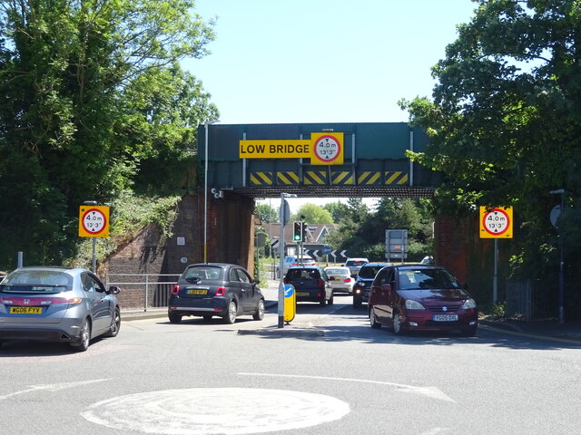
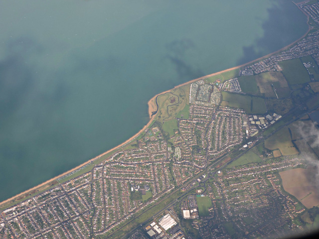
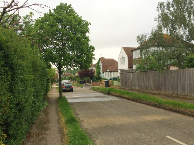
Longtye Wood Images

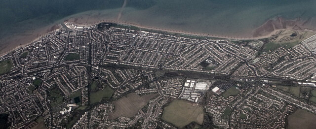
Images are sourced within 2km of 51.345173/1.054937 or Grid Reference TR1265. Thanks to Geograph Open Source API. All images are credited.

Whitstable from the air Tankerton and its beach are prominent in this view which was taken from a Gatwick bound flight from Prague.

See also <a href="https://www.geograph.org.uk/photo/7091170">TR1265 : Whitstable from the air</a>.
Whitstable from the air
Tankerton and its beach are prominent in this view which was taken from a Gatwick bound flight from Prague. See also TR1265 : Whitstable from the air.
Whitstable from the air South Tankerton plus Tankerton and its beach are prominent in this view which was taken from a Gatwick bound flight from Prague.

See also <a href="https://www.geograph.org.uk/photo/7091164">TR1266 : Whitstable from the air</a>.
Whitstable from the air
South Tankerton plus Tankerton and its beach are prominent in this view which was taken from a Gatwick bound flight from Prague. See also TR1266 : Whitstable from the air.
Houses on Graystone Road, Whitstable
Graystone Road, Whitstable
The Wheatsheaf on Herne Bay Road A Hungry Horse pub.
See <a href="https://www.geograph.org.uk/photo/7224032">TR1366 : "ung Horse"</a> and <a href="https://www.geograph.org.uk/photo/7224033">TR1366 : Sign for the Wheatsheaf on Herne Bay Road</a> for signs.
The Wheatsheaf on Herne Bay Road
"ung Horse" Unfortunate dropped letters - should read "Hungry Horse".
Sign on the Wheatsheaf, Herne Bay Road.
See <a href="https://www.geograph.org.uk/photo/7224031">TR1366 : The Wheatsheaf on Herne Bay Road</a> for context.
"ung Horse"
Unfortunate dropped letters - should read "Hungry Horse". Sign on the Wheatsheaf, Herne Bay Road. See TR1366 : The Wheatsheaf on Herne Bay Road for context.
Sign for the Wheatsheaf on Herne Bay Road See <a href="https://www.geograph.org.uk/photo/7224031">TR1366 : The Wheatsheaf on Herne Bay Road</a> for context.
Sign for the Wheatsheaf on Herne Bay Road
Herne Bay Road (B2205)
Village Family Food Store On Herne Bay Road (B2205).
Village Family Food Store
On Herne Bay Road (B2205).
Railway bridge over Herne Bay Road (B2205) Near Chestfield and Swalecliffe Railway Station.
Railway bridge over Herne Bay Road (B2205)
Near Chestfield and Swalecliffe Railway Station.
Elizabeth II postbox on Herne Bay Road, Whitstable Postbox No. CT5 152.
Outside the Post Office.
See <a href="https://www.geograph.org.uk/photo/7224142">TR1366 : Herne Bay Road, Whitstable</a> for context
Elizabeth II postbox on Herne Bay Road, Whitstable
Postbox No. CT5 152. Outside the Post Office. See TR1366 : Herne Bay Road, Whitstable for context
Herne Bay Road, Whitstable Showing position of Postbox No. CT5 152.
See <a href="https://www.geograph.org.uk/photo/7224141">TR1366 : Elizabeth II postbox on Herne Bay Road, Whitstable</a> for context.
Herne Bay Road, Whitstable
Showing position of Postbox No. CT5 152. See TR1366 : Elizabeth II postbox on Herne Bay Road, Whitstable for context.
A299 Thanet Way Eastbound
Swalecliffe from the air Tankerton Beach is to the left of the point, Saxon Shore to the right.
Swalecliffe from the air
Tankerton Beach is to the left of the point, Saxon Shore to the right.
Tankerton Evangelical Church, 154 Northwood Road Planning permission has been granted by Canterbury City Council under application number CA//12/00161 for the “demolition of church and bungalow and erection of 12 apartments with associated parking and amenity space".
Tankerton Evangelical Church, 154 Northwood Road
Planning permission has been granted by Canterbury City Council under application number CA//12/00161 for the “demolition of church and bungalow and erection of 12 apartments with associated parking and amenity space".
34, St Anne's Road Planning permission has been granted by Canterbury City Council under application number CA//12/00831 for the “erection of two detached houses”.
34, St Anne's Road
Planning permission has been granted by Canterbury City Council under application number CA//12/00831 for the “erection of two detached houses”.
Douglas Avenue, Whitstable
King's Avenue, Whitstable
Show me another place!

Longtye Wood is located at Grid Ref: TR1265 (Lat: 51.345173, Lng: 1.054937)

Administrative County: Kent

District: Canterbury

Police Authority: Kent

What 3 Words

///shed.guard.privately. Near Tankerton, Kent

Related Wikis

South Street Halt railway station

South Street Halt was a minor station on the Canterbury and Whitstable Railway at Tankerton, Kent. It opened in 1911 and closed in 1931. == History... ==

Radfall

Radfall is a hamlet between Whitstable and Canterbury, in southeast England. It lies between the Thanet Way and Thornden Wood, in the Canterbury district...

Chestfield

Chestfield is a village (and civil parish and with Swalecliffe a district council ward) in the Canterbury District of Kent, England. The parish is centred...

The Whitstable School

The Whitstable School is a coeducational secondary school and sixth form located in Whitstable, Kent, England. It was established in 1952 as the Sir William...

Nearby Amenities

Located within 500m of 51.345173,1.054937
Traffic Calming: hump
Lat/Long: 51.3478696/1.0605514
Generator Method: photovoltaic
Generator Output Electricity: yes
Generator Solar Modules: 10
Generator Source: solar
Generator Type: solar_photovoltaic_panel
Location: roof
Power: generator
Lat/Long: 51.3486991/1.0584245
Generator Method: photovoltaic
Generator Output Electricity: yes
Generator Solar Modules: 6
Generator Source: solar
Generator Type: solar_photovoltaic_panel
Location: roof
Power: generator
Lat/Long: 51.3487297/1.0582475
Generator Method: photovoltaic
Generator Output Electricity: yes
Generator Source: solar
Generator Type: solar_photovoltaic_panel
Location: roof
Power: generator
Lat/Long: 51.3452819/1.0479042
The data included in this document is from www.openstreetmap.org. The data is made available under ODbL.

Have you been to Longtye Wood?

Leave your review of Longtye Wood below (or comments, questions and feedback).