Blackbreck Plantation
Wood, Forest in Norfolk Broadland
England
Blackbreck Plantation
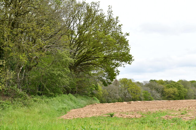
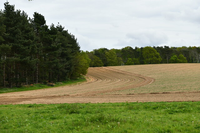
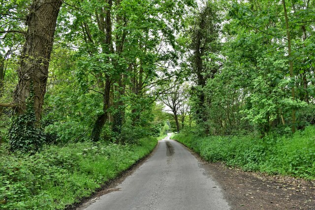
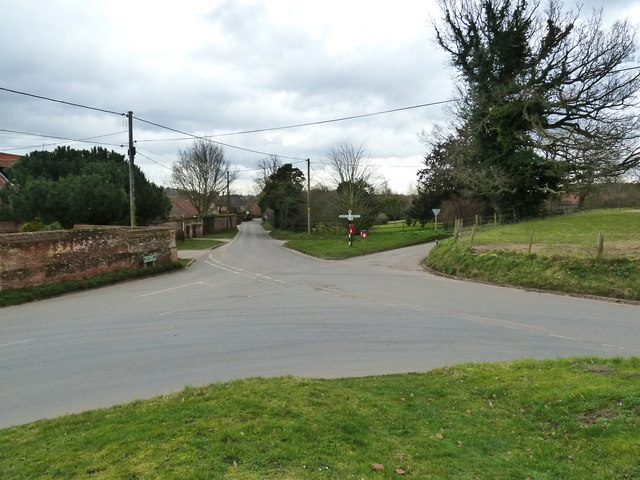
Blackbreck Plantation is a sprawling woodland located in the county of Norfolk, England. Stretching across vast acres of land, this forested area is a natural marvel that captivates visitors with its beauty and tranquility. The plantation is situated in close proximity to the village of Wood, adding to its appeal as a recreational spot for locals and tourists alike.
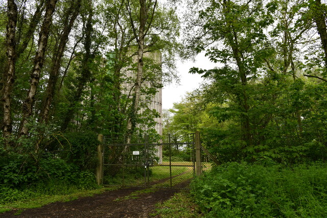
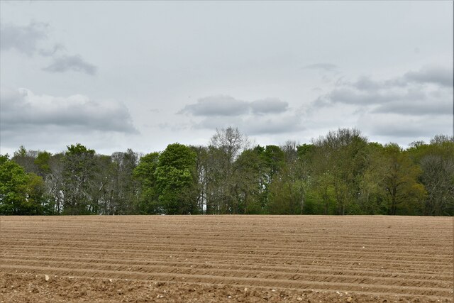
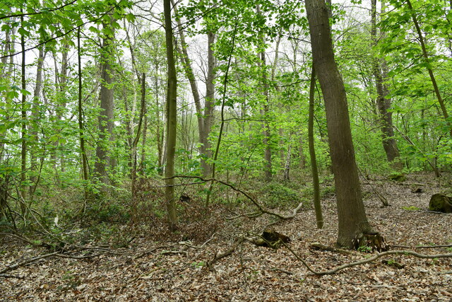
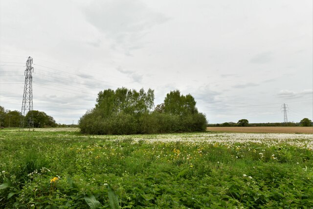
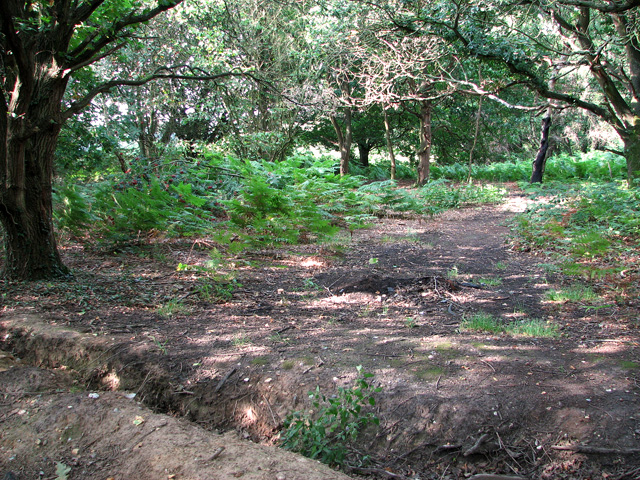
The woodland is predominantly characterized by a dense canopy of mature trees, including oak, beech, and pine. These towering giants provide shade and shelter for an array of plant and animal species, fostering a thriving ecosystem within the plantation. The forest floor is adorned with a carpet of wildflowers and ferns, creating a picturesque landscape that is a delight to explore.
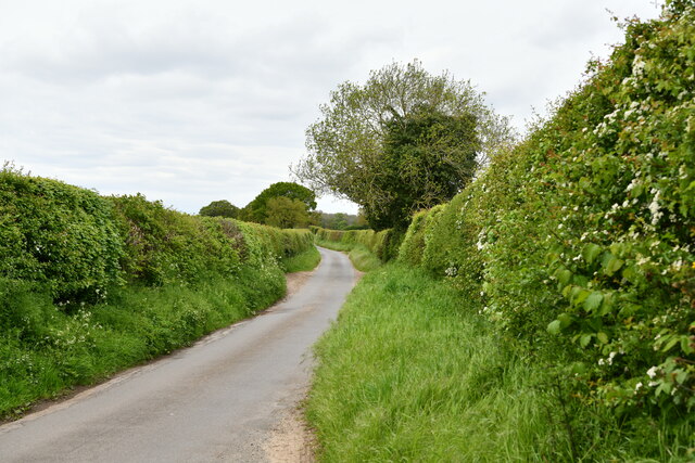
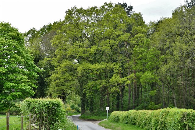
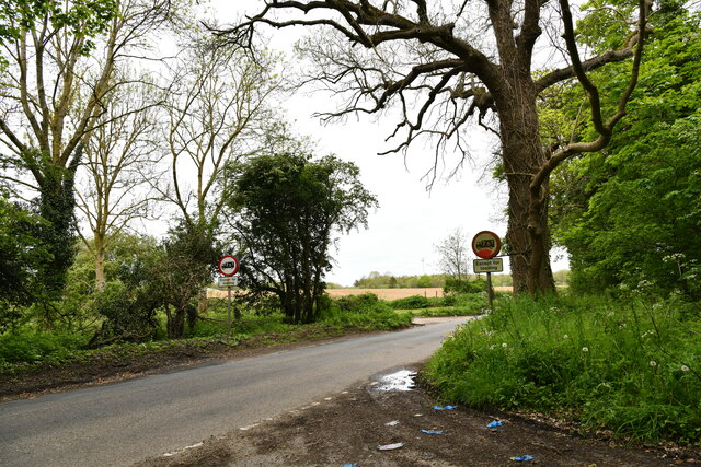
Blackbreck Plantation offers a network of well-maintained walking trails, allowing visitors to immerse themselves in the natural surroundings. Nature enthusiasts can enjoy leisurely strolls or embark on more challenging hikes, taking in the breathtaking scenery and observing the diverse wildlife that calls this woodland home. Birdwatchers will be particularly delighted by the presence of various avian species, including woodpeckers, owls, and songbirds.
The plantation is also a popular destination for outdoor activities such as picnicking, camping, and photography. The peaceful ambiance and scenic vistas make it an ideal spot for capturing stunning nature shots or simply unwinding amidst the serenity of the forest.
Whether seeking solitude, adventure, or a connection with nature, Blackbreck Plantation offers an enchanting experience for visitors of all ages. Its natural splendor and ecological significance make it a cherished gem within the Norfolk landscape.
If you have any feedback on the listing, please let us know in the comments section below.
Blackbreck Plantation Images
Images are sourced within 2km of 52.679644/1.1367257 or Grid Reference TG1213. Thanks to Geograph Open Source API. All images are credited.

Blackbreck Plantation is located at Grid Ref: TG1213 (Lat: 52.679644, Lng: 1.1367257)
Administrative County: Norfolk
District: Broadland
Police Authority: Norfolk
What 3 Words
///dwell.guidebook.penny. Near Costessey, Norfolk
Nearby Locations
Related Wikis

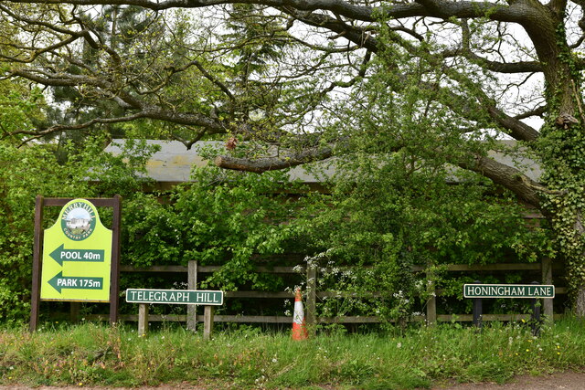
Honingham Hall
Honingham Hall was a large country house at Honingham in Norfolk. == History == The house was commissioned by Sir Thomas Richardson, Chief Justice of the...

Ringland, Norfolk
Ringland is a village and civil parish in Norfolk, England, and in the valley of the River Wensum, approximately 7 miles (11 km) north-west of Norwich...

RAF Attlebridge
Royal Air Force Attlebridge, or simply RAF Attlebridge, is a former Royal Air Force station located near Attlebridge and 8 miles (13 km) northwest of Norwich...

Weston Longville
Weston Longville is a civil parish in the English county of Norfolk, approximately 8 miles (13 km) north-west of Norwich. Its name is derived from the...

Honingham
Honingham is a village and civil parish in the English county of Norfolk, located 8 miles (13 km) to the west of Norwich along the A47 trunk road. It covers...

Taverham Hall School
Taverham Hall School was a private co-educational day and boarding preparatory school. Situated in Taverham, Norfolk, it was founded in 1920. The school...

Attlebridge
Attlebridge is a village and civil parish in the English county of Norfolk. It is situated about 8 miles (13 km) north-west of Norwich, where the A1067...

Easton, Norfolk
Easton is a village and civil parish in the English county of Norfolk. The village is located 6.2 miles (10.0 km) north-west of Norwich and 9 miles (14...
Nearby Amenities
Located within 500m of 52.679644,1.1367257Have you been to Blackbreck Plantation?
Leave your review of Blackbreck Plantation below (or comments, questions and feedback).