Bath Plantation
Wood, Forest in Norfolk Broadland
England
Bath Plantation
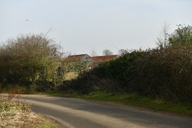
Bath Plantation, located in Norfolk, England, is a picturesque woodland area encompassing approximately 200 acres. It is renowned for its diverse range of flora and fauna, making it a popular destination for nature enthusiasts and wildlife photographers.
The plantation predominantly consists of mixed broadleaf trees, including oak, beech, and birch, which create a stunning canopy throughout the forest. The well-maintained pathways wind their way through the plantation, allowing visitors to explore the area at their own pace. These trails also provide access to various viewpoints and picnic spots, offering visitors a chance to relax and enjoy the scenic surroundings.
Bath Plantation is not only known for its lush greenery but also for its abundant wildlife. Birdwatchers often flock to the area to catch a glimpse of rare species such as woodpeckers, nightingales, and tawny owls. Mammals like deer and foxes can also be spotted in the early hours of the morning or at dusk.
The plantation is open to the public year-round, with no entrance fee. However, visitors are encouraged to respect the natural environment by adhering to the designated paths and refraining from littering. Bath Plantation is also a designated Site of Special Scientific Interest (SSSI), highlighting its importance for conservation.
Overall, Bath Plantation in Norfolk offers a tranquil and immersive woodland experience, allowing visitors to connect with nature and enjoy the beauty of the British countryside.
If you have any feedback on the listing, please let us know in the comments section below.
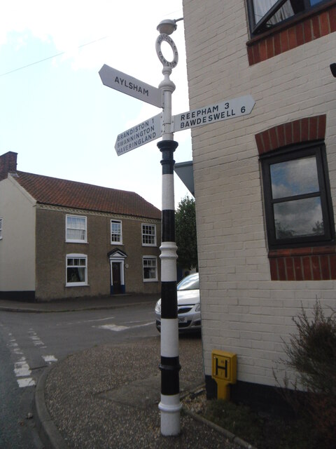
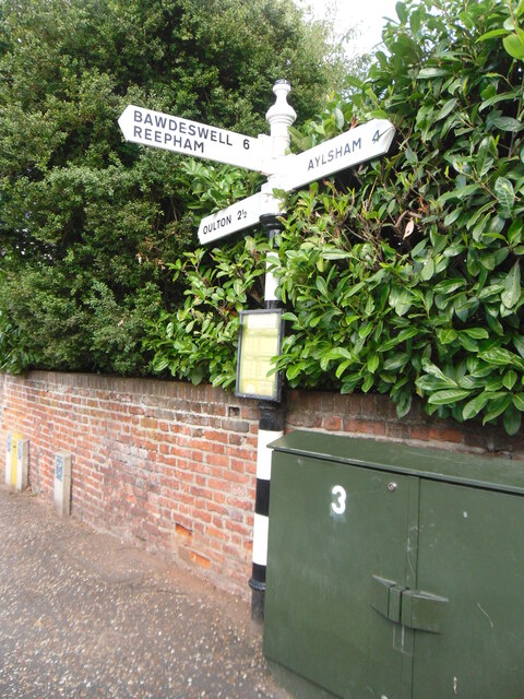
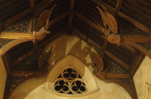
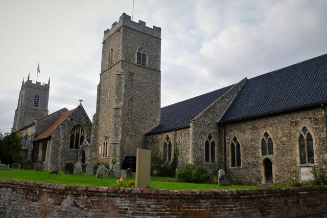
Bath Plantation Images
Images are sourced within 2km of 52.77327/1.1357612 or Grid Reference TG1124. Thanks to Geograph Open Source API. All images are credited.


Bath Plantation is located at Grid Ref: TG1124 (Lat: 52.77327, Lng: 1.1357612)
Administrative County: Norfolk
District: Broadland
Police Authority: Norfolk
What 3 Words
///wealth.cemented.contacts. Near Reepham, Norfolk
Nearby Locations
Related Wikis

Salle Park
Salle Park is a country house in Norfolk, England, near the village of Salle and about 10 miles (16 km) north-west of Norwich. The house is a Grade II...

Salle, Norfolk
Salle ( SAWL) is a small village and civil parish in the Broadland district, in the county of Norfolk, England. 1.5 miles (2.4 km) to the south is the...

Booton Common
Booton Common'' is an 8.2-hectare (20-acre) biological Site of Special Scientific Interest north-west of Norwich in Norfolk. It is managed by the Norfolk...

Booton, Norfolk
Booton is a village and civil parish in the Broadland district of Norfolk, England, just east of Reepham and seven miles west of Aylsham. According to...
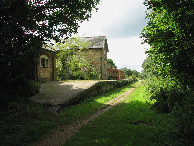
Reepham railway station (Norfolk)
Reepham (Norfolk) was a railway station in Reepham, Norfolk. It was opened in 1882 and closed to passengers in 1952 and finally shut to goods services...

Cawston railway station
Cawston was a railway station in Cawston, Norfolk. It was part of the Great Eastern Railway network for a large portion of its existence. It was on the...
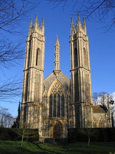
St Michael the Archangel's Church, Booton
St Michael the Archangel's Church is a redundant Anglican church near the village of Booton, Norfolk, England. It is listed in the National Heritage List...

Reepham, Norfolk
Reepham () is a market town and civil parish in the Broadland district of Norfolk, England. Reepham is situated on the B1145 road between the Bure and...
Nearby Amenities
Located within 500m of 52.77327,1.1357612Have you been to Bath Plantation?
Leave your review of Bath Plantation below (or comments, questions and feedback).