Alder Carr
Wood, Forest in Suffolk Mid Suffolk
England
Alder Carr
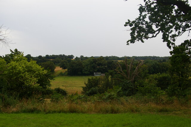
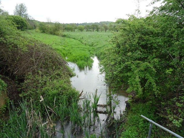
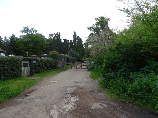
Alder Carr, located in Suffolk, England, is a picturesque wood and forest area that spans over several acres of land. It is known for its lush greenery, diverse plant life, and serene atmosphere. The name "Alder Carr" is derived from the presence of alder trees that thrive in this natural setting.
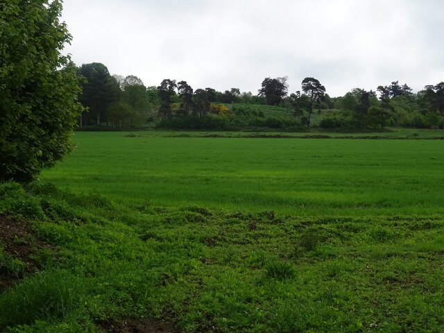
The wood is situated near the village of Alder Carr, which adds to its charm and accessibility. The area is a popular destination for nature enthusiasts, hikers, and birdwatchers due to its rich biodiversity. The forest is home to a wide variety of flora and fauna, including rare species of plants and animals.
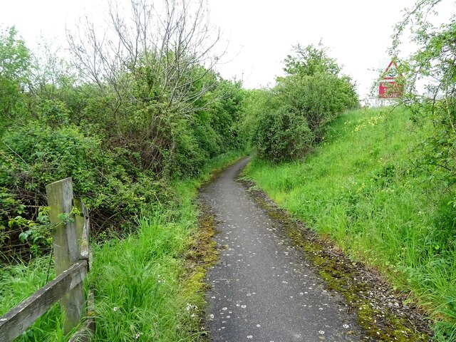
The wood features well-maintained trails and pathways that allow visitors to explore the area at their leisure. These paths wind through the dense forest, offering glimpses of tranquil ponds, vibrant wildflowers, and towering trees. The wood is also intersected by a small stream that adds to the beauty of the surroundings.
Alder Carr is an ideal spot for those looking to escape the hustle and bustle of city life and immerse themselves in nature. The peaceful ambiance, coupled with the sounds of chirping birds and rustling leaves, creates a serene environment that promotes relaxation and reflection.
Visitors to Alder Carr can expect to find a peaceful retreat, abundant wildlife, and beautiful scenery. Whether one is seeking a leisurely stroll, a challenging hike, or a peaceful picnic spot, Alder Carr offers a natural haven for all.
If you have any feedback on the listing, please let us know in the comments section below.
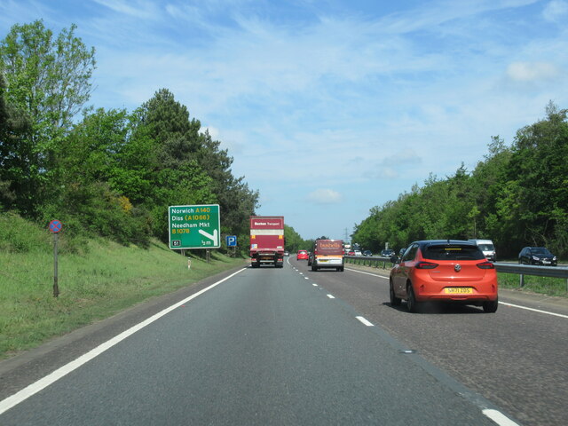
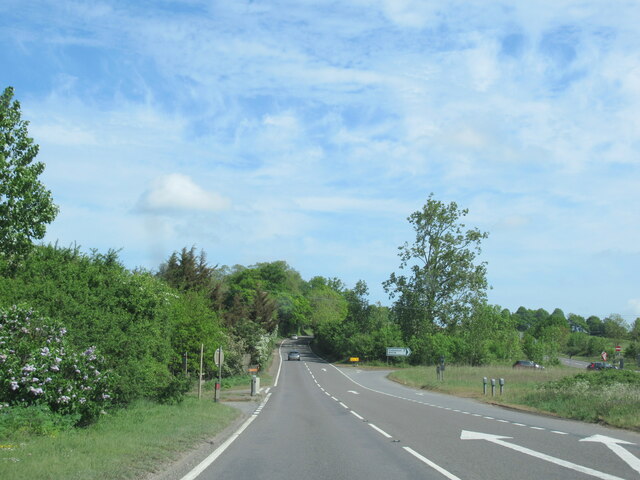
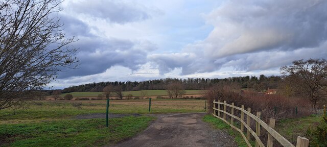
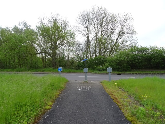
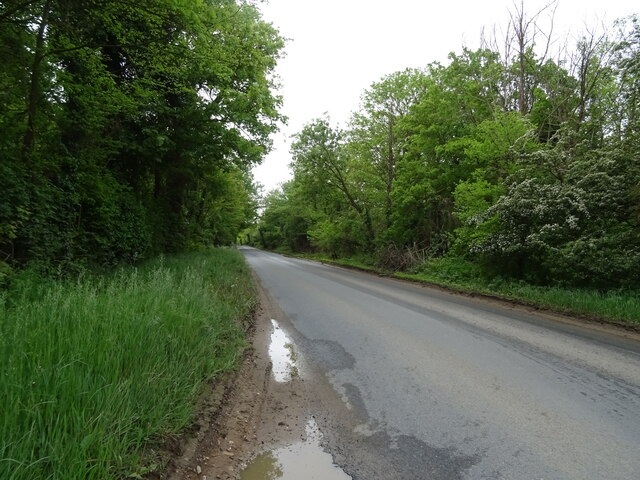
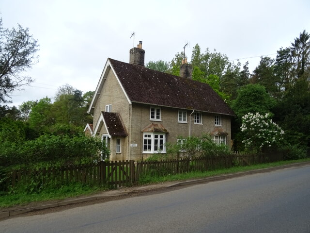
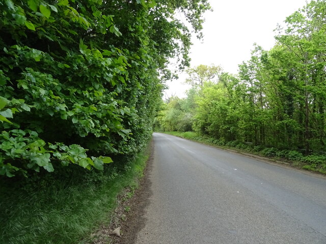
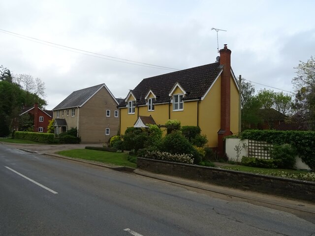
Alder Carr Images
Images are sourced within 2km of 52.134718/1.0815125 or Grid Reference TM1052. Thanks to Geograph Open Source API. All images are credited.

Alder Carr is located at Grid Ref: TM1052 (Lat: 52.134718, Lng: 1.0815125)
Administrative County: Suffolk
District: Mid Suffolk
Police Authority: Suffolk
What 3 Words
///unloaded.fights.toxic. Near Needham Market, Suffolk
Nearby Locations
Related Wikis

Baylham
Baylham is a village and civil parish, 1,349 acres size, in the Mid Suffolk district of Suffolk, England, about 7 miles (11 km) northwest of Ipswich and...
Darmsden
Darmsden is a hamlet and civil parish in the Mid Suffolk district of Suffolk, England. Located near the A14 road around 2 kilometres (1 mi) south of the...

Shrubland Hall
Shrubland Hall, Coddenham, Suffolk, is a historic English country house with planned gardens in Suffolk, England, built in the 1770s. The Hall was used...

Bosmere and Claydon Rural District
Bosmere and Claydon Rural District was a rural district within the administrative county of East Suffolk between 1894 and 1934. It was created out of the...

Bosmere and Claydon Hundred
Bosmere and Claydon was a hundred of Suffolk, consisting of 31,850 acres (128.9 km2).The hundred is a fertile and picturesque district varying from 8 to...
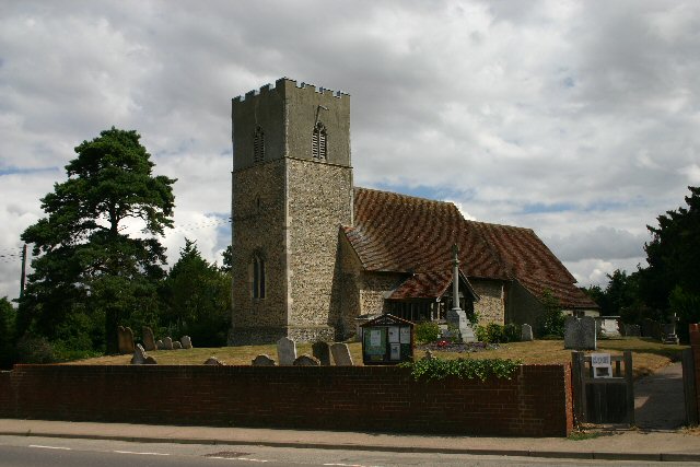
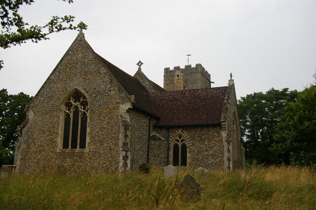
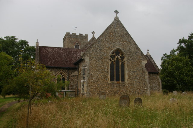
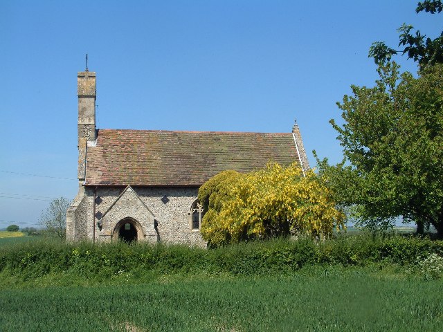
St Mary's Church, Great Blakenham
St Mary's Church is located in the village of Great Blakenham near Ipswich. It is an active Anglican parish church in the deanery of Bosmere, part of the...
Shrubland Hall Anglo-Saxon cemetery
Shrubland Hall Anglo-Saxon cemetery is a 7th-century Anglo-Saxon burial site discovered at Shrubland Hall Quarry near Coddenham, Suffolk. The cemetery...
Great Blakenham
Great Blakenham is a village and civil parish in the Mid Suffolk district of Suffolk in eastern England located near the town of Ipswich. An energy from...
Related Videos
shrubland hall Suffolk
short amateur video of shrubland hall in Suffolk I have alot to learn.

Penny's first trip to Needham Lake 29.07.23
Penny's first outing to one of our favourite walking spots – Needham Lake in Needham Market, Suffolk. Other than walking around ...

Needham lake, Ipswich, UK
Lovely moments with friends and family.
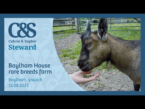
Baylham House rare breeds farm 12.08.23
We had a great day out at Baylham House rare breeds farm in Ipswich with our good friends Liz and Chris who were on route to a ...
Nearby Amenities
Located within 500m of 52.134718,1.0815125Have you been to Alder Carr?
Leave your review of Alder Carr below (or comments, questions and feedback).