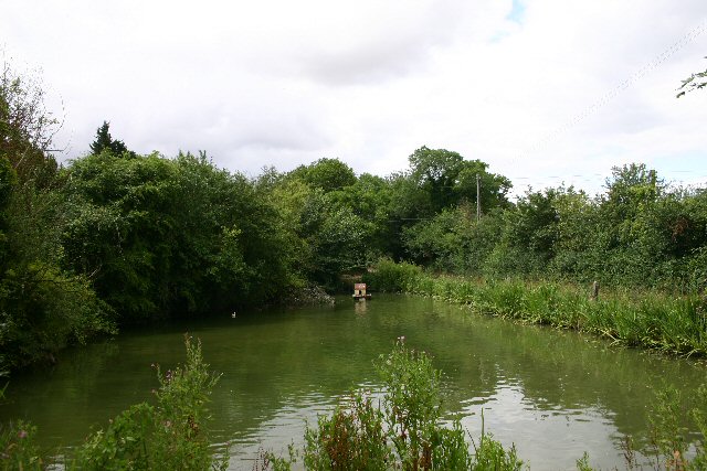
Raven's Grove
Wood, Forest in Suffolk Mid Suffolk
England
Raven's Grove
Raven's Grove, Suffolk, located within the woodlands and forests of the county, is a picturesque area renowned for its natural beauty and tranquil atmosphere. Nestled amidst rolling hills and lush greenery, this enchanting destination offers a haven for nature enthusiasts and those seeking a peaceful retreat.
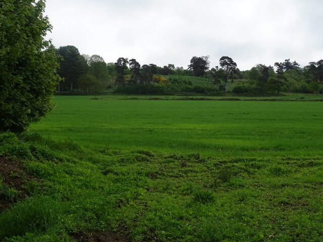
Covering an area of approximately 100 square kilometers, Raven's Grove is home to a diverse range of flora and fauna, including ancient oak trees, vibrant wildflowers, and various species of wildlife. The forest is particularly known for its resident population of ravens, which can often be spotted gracefully soaring through the skies or perched on the branches of towering trees.
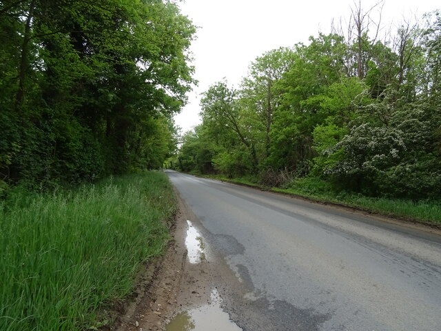
Visitors to Raven's Grove can explore its extensive network of walking trails, which wind their way through the woodlands, offering breathtaking views of the surrounding countryside. The trails cater to all levels of fitness and provide opportunities for leisurely strolls, invigorating hikes, or peaceful meditation in nature.
The area also features several picnic spots and camping sites, allowing visitors to immerse themselves fully in the serene ambiance of the forest. Many choose to spend the night under the starry skies, awakening to the gentle sounds of birdsong and the rustling of leaves.
Raven's Grove is not only a paradise for nature lovers but also a place of historical significance. The forest holds ancient remnants of a medieval settlement, with traces of stone walls and foundations hidden amongst the foliage. Archaeological enthusiasts can explore these remnants and imagine what life was like in this once-thriving community.
With its captivating landscapes, abundant wildlife, and rich history, Raven's Grove, Suffolk, stands as a testament to the enduring allure of nature and provides an idyllic sanctuary for those seeking solace and connection with the natural world.
If you have any feedback on the listing, please let us know in the comments section below.
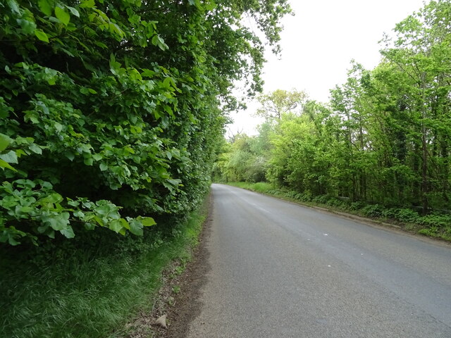
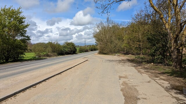
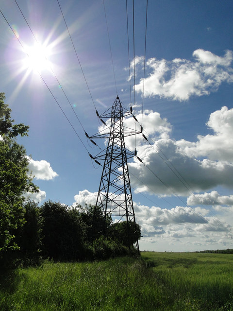
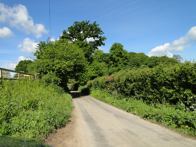
Raven's Grove Images
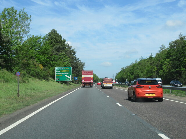
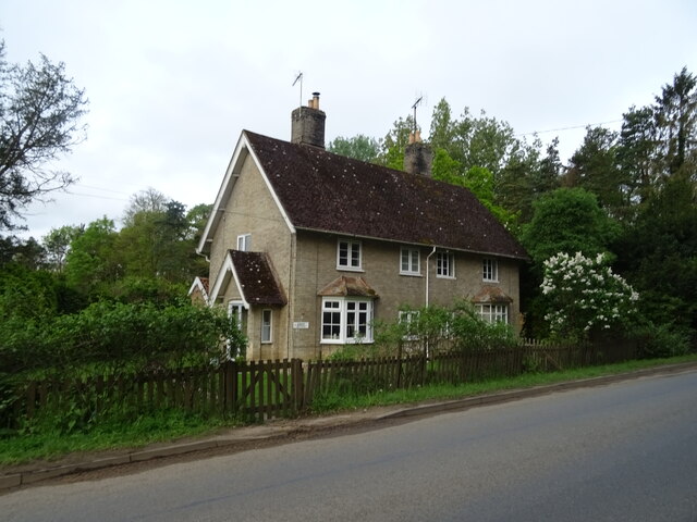
Images are sourced within 2km of 52.128888/1.067432 or Grid Reference TM1052. Thanks to Geograph Open Source API. All images are credited.


Raven's Grove is located at Grid Ref: TM1052 (Lat: 52.128888, Lng: 1.067432)
Administrative County: Suffolk
District: Mid Suffolk
Police Authority: Suffolk
What 3 Words
///dynasties.booth.flitting. Near Needham Market, Suffolk
Nearby Locations
Related Wikis

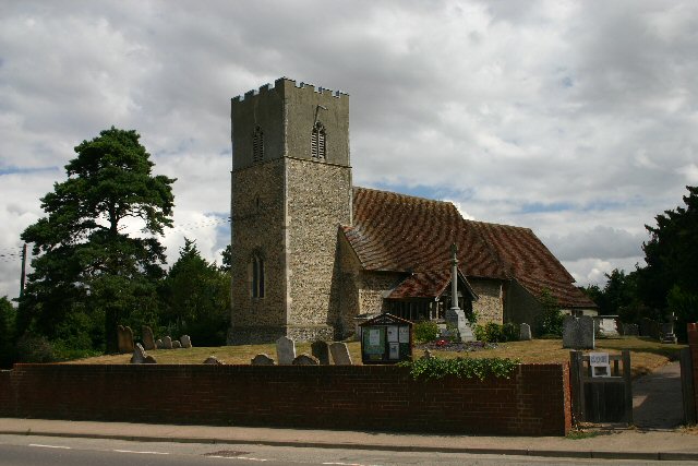
Baylham
Baylham is a village and civil parish, 1,349 acres size, in the Mid Suffolk district of Suffolk, England, about 7 miles (11 km) northwest of Ipswich and...
Darmsden
Darmsden is a hamlet and civil parish in the Mid Suffolk district of Suffolk, England. Located near the A14 road around 2 kilometres (1 mi) south of the...
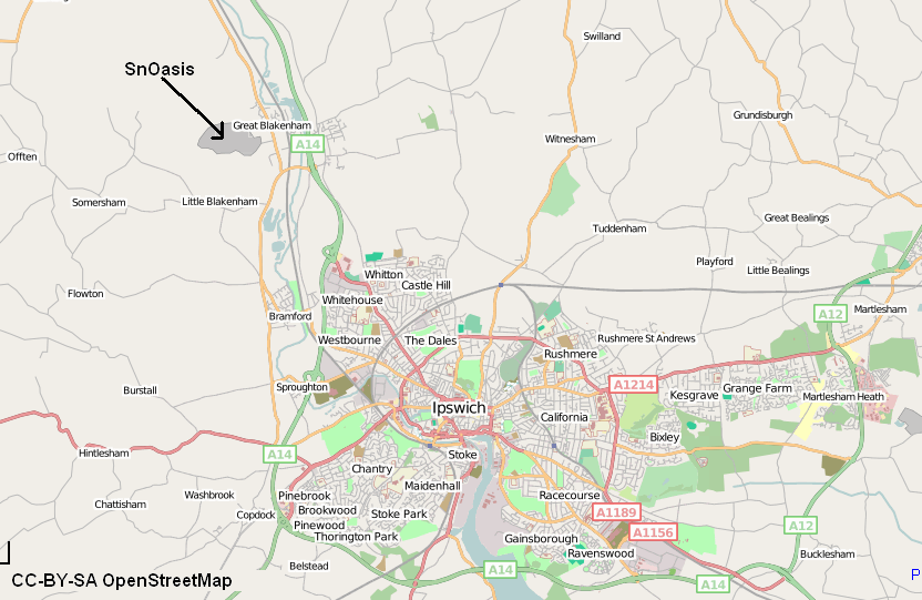
Valley Ridge (Winter sports resort)
Valley Ridge (formerly known as SnOasis) was a proposed ski and sports resort in Great Blakenham near Ipswich, Suffolk, England. In March 2021, the plan...
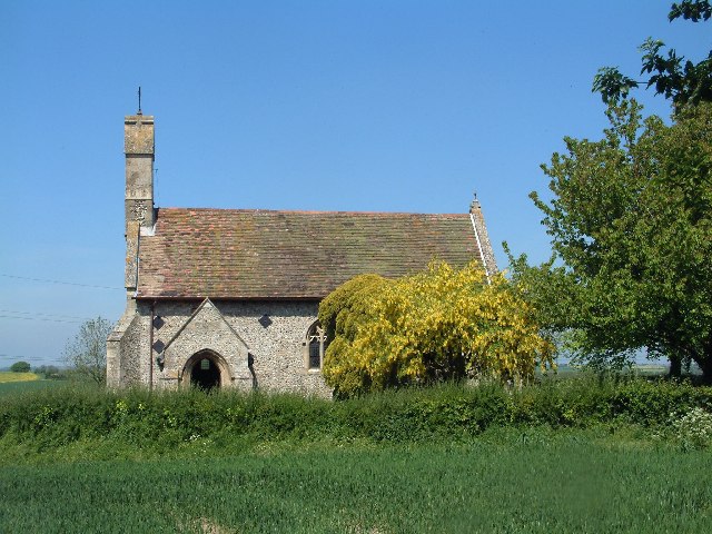
St Mary's Church, Great Blakenham
St Mary's Church is located in the village of Great Blakenham near Ipswich. It is an active Anglican parish church in the deanery of Bosmere, part of the...
Nearby Amenities
Located within 500m of 52.128888,1.067432Have you been to Raven's Grove?
Leave your review of Raven's Grove below (or comments, questions and feedback).