Birdshedge Grove

Wood, Forest in Suffolk Mid Suffolk

England

Birdshedge Grove

Church of St Andrew, Wickham Skeith <span class="nowrap"><a title="https://historicengland.org.uk/listing/the-list/list-entry/1352521?section=official-list-entry" rel="nofollow ugc noopener" href="https://historicengland.org.uk/listing/the-list/list-entry/1352521?section=official-list-entry">Link</a><img style="margin-left:2px;" alt="External link" title="External link - shift click to open in new window" src="https://s1.geograph.org.uk/img/external.png" width="10" height="10"/></span>
Church of St Andrew, Wickham Skeith Credit: Sandy Gerrard

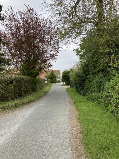
Birdshedge Grove is a picturesque woodland located in Suffolk, England. Covering an area of approximately 50 acres, this enchanting forest is known for its diverse range of bird species and abundant wildlife. It is a popular destination for nature enthusiasts, birdwatchers, and hikers alike.

The grove is predominantly composed of mature oak and beech trees, which create a dense canopy that filters sunlight and creates a cool and tranquil atmosphere. The forest floor is carpeted with a variety of wildflowers, ferns, and mosses, adding to its natural beauty.

The woodland is home to a wide variety of bird species, including the elusive nightjar, the melodious song thrush, and the vibrant woodpecker. Birdwatchers can often spot these feathered creatures perched on tree branches, feeding on insects, or nesting in the tree hollows.

The grove offers several well-marked walking trails that wind through the forest, providing visitors with an opportunity to explore its natural wonders. These trails vary in length and difficulty, catering to both casual strollers and avid hikers. Along the way, visitors may encounter deer, rabbits, and squirrels, adding to the charm and tranquility of the experience.

Birdshedge Grove is a haven for those seeking solace in nature. Its peaceful ambiance, combined with its rich biodiversity, makes it an ideal destination for outdoor enthusiasts and wildlife lovers alike. Whether it is to admire the beautiful bird species, enjoy a leisurely walk, or simply immerse oneself in the beauty of a woodland, Birdshedge Grove offers a truly enchanting experience.

If you have any feedback on the listing, please let us know in the comments section below.

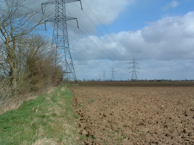
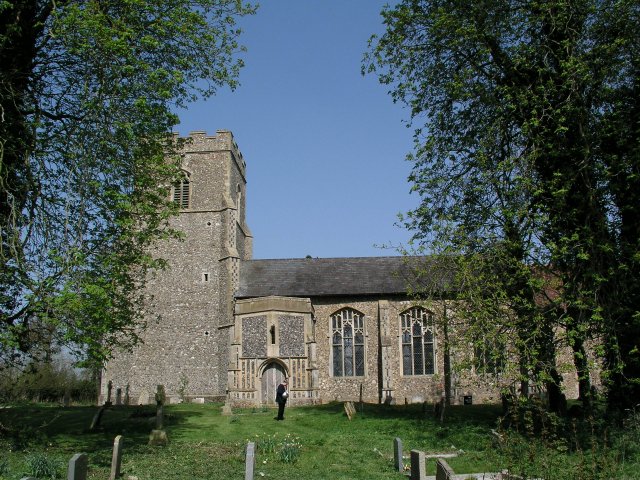
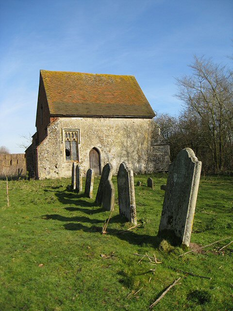
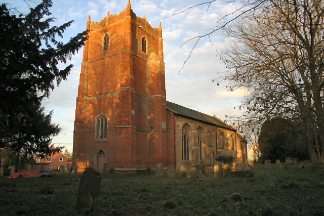
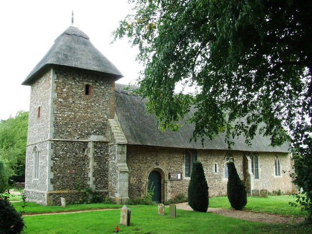
Birdshedge Grove Images

Images are sourced within 2km of 52.286709/1.081878 or Grid Reference TM1069. Thanks to Geograph Open Source API. All images are credited.

Church of St Andrew, Wickham Skeith <span class="nowrap"><a title="https://historicengland.org.uk/listing/the-list/list-entry/1352521?section=official-list-entry" rel="nofollow ugc noopener" href="https://historicengland.org.uk/listing/the-list/list-entry/1352521?section=official-list-entry">Link</a><img style="margin-left:2px;" alt="External link" title="External link - shift click to open in new window" src="https://s1.geograph.org.uk/img/external.png" width="10" height="10"/></span>
Church of St Andrew, Wickham Skeith
Rood Loft Stair at Church of St Andrew, Wickham Skeith <span class="nowrap"><a title="https://historicengland.org.uk/listing/the-list/list-entry/1352521?section=official-list-entry" rel="nofollow ugc noopener" href="https://historicengland.org.uk/listing/the-list/list-entry/1352521?section=official-list-entry">Link</a><img style="margin-left:2px;" alt="External link" title="External link - shift click to open in new window" src="https://s1.geograph.org.uk/img/external.png" width="10" height="10"/></span>
Rood Loft Stair at Church of St Andrew, Wickham Skeith
Font at Church of St Andrew, Wickham Skeith <span class="nowrap"><a title="https://historicengland.org.uk/listing/the-list/list-entry/1352521?section=official-list-entry" rel="nofollow ugc noopener" href="https://historicengland.org.uk/listing/the-list/list-entry/1352521?section=official-list-entry">Link</a><img style="margin-left:2px;" alt="External link" title="External link - shift click to open in new window" src="https://s1.geograph.org.uk/img/external.png" width="10" height="10"/></span>
Font at Church of St Andrew, Wickham Skeith
Doorway at Church of St Andrew, Wickham Skeith <span class="nowrap"><a title="https://historicengland.org.uk/listing/the-list/list-entry/1352521?section=official-list-entry" rel="nofollow ugc noopener" href="https://historicengland.org.uk/listing/the-list/list-entry/1352521?section=official-list-entry">Link</a><img style="margin-left:2px;" alt="External link" title="External link - shift click to open in new window" src="https://s1.geograph.org.uk/img/external.png" width="10" height="10"/></span>
Doorway at Church of St Andrew, Wickham Skeith
Elm Farmhouse, Wickham Skeith <span class="nowrap"><a title="https://historicengland.org.uk/listing/the-list/list-entry/1032198?section=official-list-entry" rel="nofollow ugc noopener" href="https://historicengland.org.uk/listing/the-list/list-entry/1032198?section=official-list-entry">Link</a><img style="margin-left:2px;" alt="External link" title="External link - shift click to open in new window" src="https://s1.geograph.org.uk/img/external.png" width="10" height="10"/></span>
Elm Farmhouse, Wickham Skeith
Field next to Colsey Wood
Lime Tree Farm
Lime Tree Farm
Deadmans Lane, Stoke Ash
The ford on Deadmans Lane The ford was dry when this photo was taken.
The ford on Deadmans Lane
The ford was dry when this photo was taken.
Fields at Thwaite Lodge Farm
Footpath from Thornham Magna to Wickham Skeith
147 The Street, Stoke Ash
Willow Hall, Thwaite <span class="nowrap"><a title="https://historicengland.org.uk/listing/the-list/list-entry/1352531?section=official-list-entry" rel="nofollow ugc noopener" href="https://historicengland.org.uk/listing/the-list/list-entry/1352531?section=official-list-entry">Link</a><img style="margin-left:2px;" alt="External link" title="External link - shift click to open in new window" src="https://s1.geograph.org.uk/img/external.png" width="10" height="10"/></span>
Willow Hall, Thwaite
Ford on Deadman's Lane south of Stoke Ash Known as an 'irish bridge', in normal flow the water runs through culverts beneath the road; only in times of exceptional flow will it rise above the road surface.
Ford on Deadman's Lane south of Stoke Ash
Known as an 'irish bridge', in normal flow the water runs through culverts beneath the road; only in times of exceptional flow will it rise above the road surface.
Stoke Ash Primary School Stoke Ash School is on a tiny no through road, separated from the village by the very busy A140. The original victorian school building was extended in the 1950's. The school playing field extends beyond the building.
Stoke Ash Primary School
Stoke Ash School is on a tiny no through road, separated from the village by the very busy A140. The original victorian school building was extended in the 1950's. The school playing field extends beyond the building.
Power Across The Land Power lines and pylons as viewed from the public footpath just north of Mendlesham Suffolk.
Power Across The Land
Power lines and pylons as viewed from the public footpath just north of Mendlesham Suffolk.
Wickham Road Looking towards Thwaite Suffolk along Wickham road.
Wickham Road
Looking towards Thwaite Suffolk along Wickham road.
Blue Skies And Green Grass Country view photo taken east of Wickham Skeith Suffolk.
Blue Skies And Green Grass
Country view photo taken east of Wickham Skeith Suffolk.
Show me another place!

Birdshedge Grove is located at Grid Ref: TM1069 (Lat: 52.286709, Lng: 1.081878)

Administrative County: Suffolk

District: Mid Suffolk

Police Authority: Suffolk

What 3 Words

///flamingo.haggle.wove. Near Bacton, Suffolk

Nearby Locations

Birdshedge Grove

Related Wikis

Wickham Skeith

Wickham Skeith is a village and civil parish in Suffolk, England, about 5 miles to the west of Eye and about 3 miles east of Finningham. == History... ==

Stoke Ash

Stoke Ash is a village and civil parish in the Mid Suffolk district of Suffolk in eastern England. Located around six miles south of Diss, in 2011 its...

Thornham Magna

Thornham Magna is the larger sister village of Thornham Parva on the former estate of Thornham Hall, the Henniker family seat, in Suffolk. It is about...

Hartismere Hundred

Hartismere was a hundred of Suffolk, that later gave its name to a poor law union, a rural sanitary district, and the Hartismere Rural District. Listed...

Thwaite, Suffolk

Thwaite is a rural village in Suffolk, England. Thwaite is based on and around the A140 road, midway between Suffolk's county town of Ipswich and the city...

Braiseworth

Braiseworth is a village in Suffolk, England. It has never reached any great size, and no longer has its own parish church. The medieval church was dismantled...

Gislingham

Gislingham is a village and civil parish in the Mid Suffolk district of Suffolk in eastern England. == History == Gislingham is situated around the area...

St Mary's Church, Thornham Parva

St Mary's Church is a medieval church in Thornham Parva, Suffolk, England. Much of the fabric dates from the 12th century, and it is a Grade I listed building...

Nearby Amenities

Located within 500m of 52.286709,1.081878
Power: tower
Ref: 4YM 83
Lat/Long: 52.287346/1.087362
Power: tower
Ref: 4YM 82
Lat/Long: 52.28434/1.086372
The data included in this document is from www.openstreetmap.org. The data is made available under ODbL.

Have you been to Birdshedge Grove?

Leave your review of Birdshedge Grove below (or comments, questions and feedback).