Thorringtonhall Wood
Wood, Forest in Essex Tendring
England
Thorringtonhall Wood
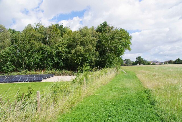
Thorringtonhall Wood is a picturesque woodland located in Essex, England. Situated near the village of Thorrington, this woodland covers an area of approximately 200 acres and is part of the larger Tendring Forest complex. It is a designated Site of Special Scientific Interest (SSSI) due to its rich biodiversity and historical significance.
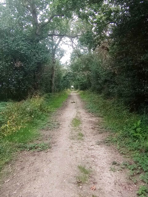
Thorringtonhall Wood is predominantly made up of mixed broadleaf trees, including oak, beech, and birch, creating a stunning canopy that changes with the seasons. The woodland floor is covered with a diverse array of plants, such as bluebells, primroses, and wood anemones, providing a vibrant and colorful display during springtime.
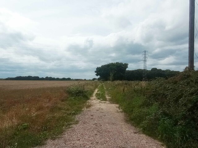
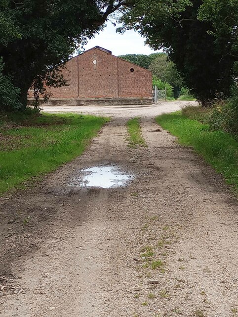
The wood is crisscrossed by a network of footpaths, allowing visitors to explore its natural beauty and discover its hidden treasures. There are also several designated picnic areas, making it an ideal spot for a family outing or a peaceful retreat to reconnect with nature.
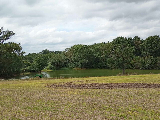
Wildlife thrives within Thorringtonhall Wood, with a variety of bird species, including woodpeckers and owls, calling it home. The wood is also home to small mammals like squirrels, rabbits, and deer, which can occasionally be spotted by lucky visitors.
Thorringtonhall Wood has a rich history, with evidence of human activity dating back to the Iron Age. The remains of an ancient settlement and burial mounds can be found within the woodland, providing insights into the area's past.
Overall, Thorringtonhall Wood offers a tranquil and enchanting experience for nature lovers, history enthusiasts, and anyone seeking a peaceful escape from the hustle and bustle of everyday life.
If you have any feedback on the listing, please let us know in the comments section below.
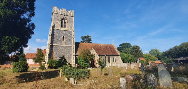
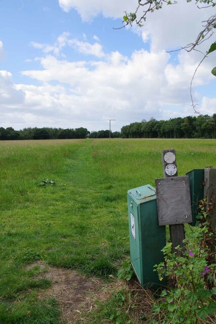
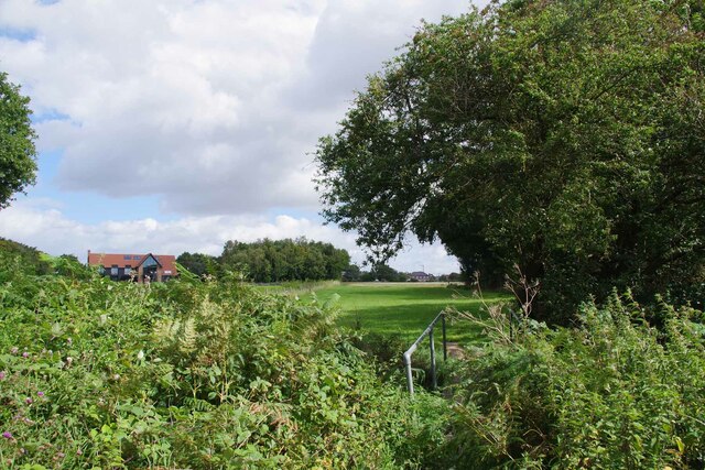
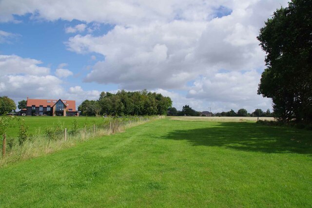
Thorringtonhall Wood Images
Images are sourced within 2km of 51.832128/1.0480543 or Grid Reference TM1019. Thanks to Geograph Open Source API. All images are credited.


Thorringtonhall Wood is located at Grid Ref: TM1019 (Lat: 51.832128, Lng: 1.0480543)
Administrative County: Essex
District: Tendring
Police Authority: Essex
What 3 Words
///mallets.disprove.grace. Near Great Bentley, Essex
Nearby Locations
Related Wikis

Thorrington
Thorrington is a village and civil parish in the Tendring district of Essex, England. It lies 3 miles (5 km) east of Wivenhoe and 1.9 miles (3 km) north...

Frating Abbey
Frating Abbey was reputably an abbey in the village of Frating, in Essex, England. There is no evidence that there was more than a farm raising funds for...
Thorington railway station
Thorington railway station (also Thorrington railway station) was a station in Thorrington, Essex on the line (now called the Sunshine Coast Line) from...
Brightlingsea Regent F.C.
Brightlingsea Regent Football Club is an English football club based in Brightlingsea, Essex. Formed by a merger of Brightlingsea United and Regent Park...

Great Bentley railway station
Great Bentley railway station is on the Sunshine Coast Line, a branch of the Great Eastern Main Line, in the East of England, serving the village of Great...

Great Bentley
Great Bentley is a village, civil parish and electoral ward in the Tendring district of north Essex, England, located seven miles east of Colchester. The...

Howlands Marsh
Howlands Marsh is a 29.9-hectare (74-acre) nature reserve north-east of St Osyth in Essex. It is managed by the Essex Wildlife Trust. It is part of the...

Brightlingsea
Brightlingsea () is a coastal town and an electoral ward in the Tendring district of Essex, England. It is situated between Colchester and Clacton-on-Sea...
Nearby Amenities
Located within 500m of 51.832128,1.0480543Have you been to Thorringtonhall Wood?
Leave your review of Thorringtonhall Wood below (or comments, questions and feedback).