Abbey Wood

Wood, Forest in Essex Tendring

England

Abbey Wood

St Mary Magdalene church and churchyard, Thorrington
St Mary Magdalene church and churchyard, Thorrington Credit: Helen Steed

Abbey Wood is a suburban area located in the London Borough of Bexley, in the county of Essex, England. It is situated approximately 10.6 miles east of Charing Cross, making it an ideal location for commuters working in central London. The area is part of the historic county of Kent, but due to boundary changes, it is now considered part of Greater London.

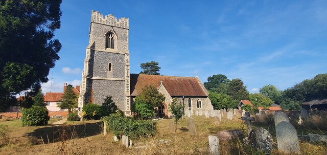
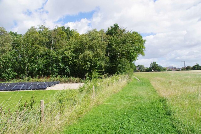
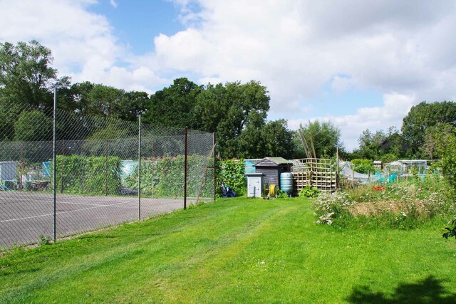
Abbey Wood is named after the ancient Lesnes Abbey, a former monastery that can be traced back to 1178. The abbey ruins are now a popular tourist attraction and a Grade II listed building. The area also features a large green space known as Lesnes Abbey Woods, which offers picturesque walking trails and is a designated Local Nature Reserve.

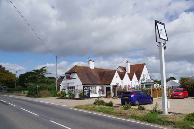
The residential area of Abbey Wood is primarily made up of post-war housing estates, although there are also some Victorian and Edwardian properties. In recent years, there has been significant regeneration in the area, including the construction of new housing developments and the introduction of modern amenities.

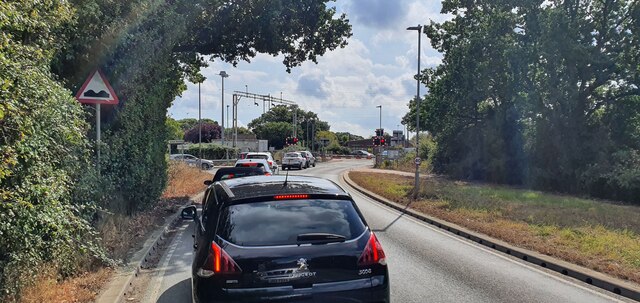
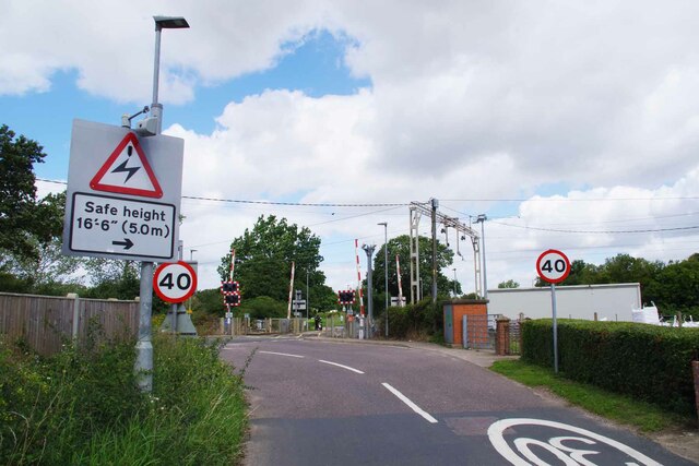
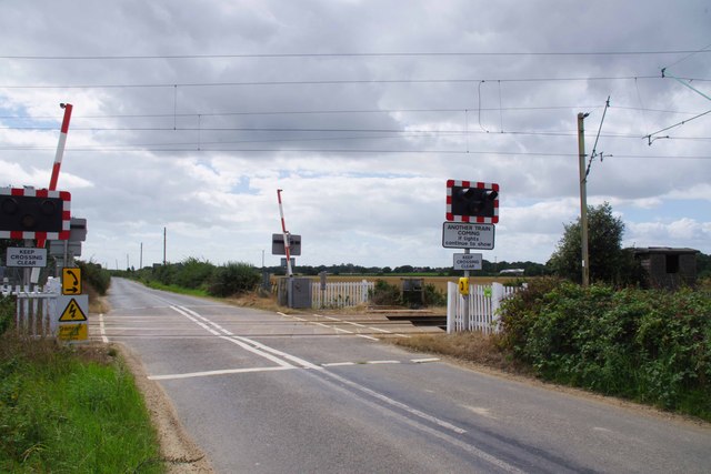
Transport links in Abbey Wood are excellent, with the Abbey Wood railway station providing regular services to London and other destinations. The area is also well-served by buses, making it easy to travel within the local vicinity.

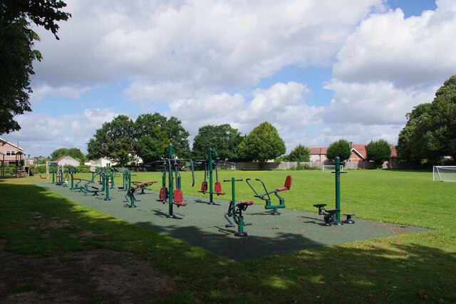
Abbey Wood offers a range of amenities, including local shops, supermarkets, and restaurants. There are also several schools in the area, making it a popular choice for families. Overall, Abbey Wood combines the tranquility of suburban living with convenient access to the bustling city of London.

If you have any feedback on the listing, please let us know in the comments section below.
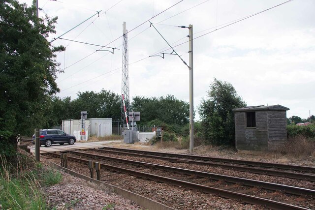
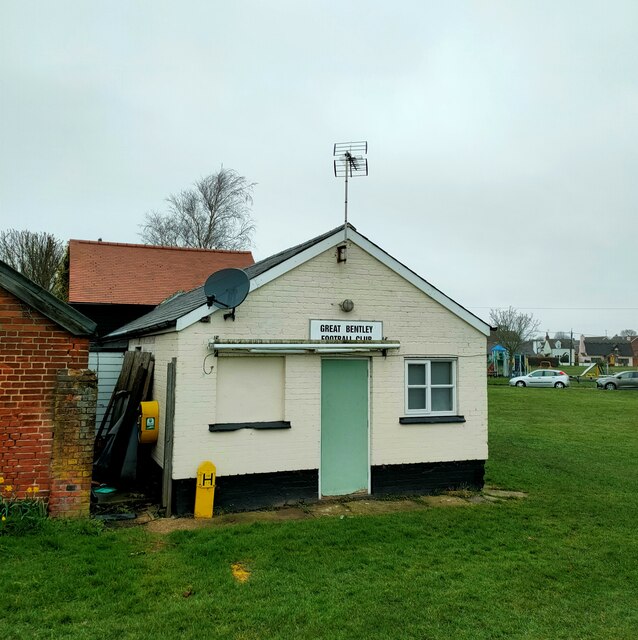
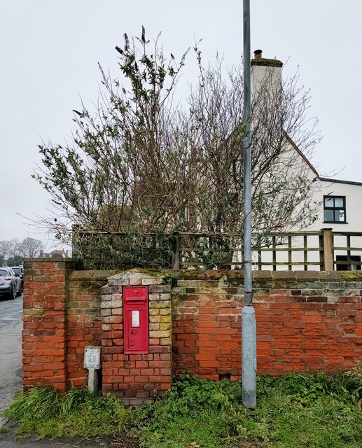
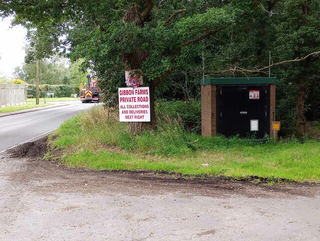
Abbey Wood Images

Images are sourced within 2km of 51.841461/1.0485108 or Grid Reference TM1020. Thanks to Geograph Open Source API. All images are credited.

St Mary Magdalene church and churchyard, Thorrington
Thorrington Footpath 8 Looking towards Brightlingsea.
Thorrington Footpath 8
Looking towards Brightlingsea.
Footbridge on Footpath 8 Looking towards the <a href="https://www.geograph.org.uk/photo/7570847">TM0919 : Thorrington Footpath 12 and 8 Junction</a> across a drainage ditch.
Footbridge on Footpath 8
Looking towards the TM0919 : Thorrington Footpath 12 and 8 Junction across a drainage ditch.
Thorrington Footpath 12 and 8 Junction Footpath 12 is the left fork
Thorrington Footpath 12 and 8 Junction
Footpath 12 is the left fork
Thorrington Footpath 12 by Glebe Farm
Level crossing on Frating Road
Thorrington Village Hall On the wall is <a href="https://www.geograph.org.uk/photo/7570814">TM0920 : Thorrington War Memorial</a>
Thorrington Village Hall
Thorrington War Memorial This is attached to <a href="https://www.geograph.org.uk/photo/7570806">TM0920 : Thorrington Village Hall</a>
Thorrington War Memorial
This is attached to TM0920 : Thorrington Village Hall
Thorrington Recreation Ground The adult play area!
Thorrington Recreation Ground
The adult play area!
The Red Lion Thorrington Not quite opening time.
The Red Lion Thorrington
Not quite opening time.
Thorrington Allotments If you get bored of digging there is always the tennis court to entertain you.
Thorrington Allotments
If you get bored of digging there is always the tennis court to entertain you.
Thorrington Level Crossing Looking from Church Road towards Frating Road.
Thorrington Level Crossing
Looking from Church Road towards Frating Road.
Turf Farm Taken from Great Bentley Road.
Turf Farm
Taken from Great Bentley Road.
Frating Road Crossining Looking towards the B1027.
Frating Road Crossining
Looking towards the B1027.
Old Platelayer's Hut by Frating Road Crossing Looking towards <a href="https://www.geograph.org.uk/photo/7570891">TM0921 : Frating Road Crossining</a>.
Old Platelayer's Hut by Frating Road Crossing
Great Bentley Football Club
Victorian Letter Box, Great Bently Post boxes come in many forms from free standing pillar boxes to those built into walls. The monarch's cypher is always present to give an indication of age.
In the British Isles the first red pillar post boxes were erected in Jersey in 1852. Roadside wall boxes first appeared in 1857 as a cheaper alternative to pillar boxes, especially in rural districts. In 1853 the first pillar box in the United Kingdom was installed at Botchergate, Carlisle. In 1856, Richard Redgrave of the Department of Science and Art designed an ornate pillar box for use in London and other large cities. In 1859 the design was improved, and this became the first National Standard pillar box. Green was adopted as the standard colour for the early Victorian post boxes. Between 1866 and 1879 the hexagonal Penfold post box became the standard design for pillar boxes and it was during this period that red was first adopted as the standard colour. The first boxes to be painted red were in London in July 1874, although it would be nearly 10 years before all the boxes had been repainted.(excerpt from Wikipedia)
Victorian Letter Box, Great Bently
Post boxes come in many forms from free standing pillar boxes to those built into walls. The monarch's cypher is always present to give an indication of age. In the British Isles the first red pillar post boxes were erected in Jersey in 1852. Roadside wall boxes first appeared in 1857 as a cheaper alternative to pillar boxes, especially in rural districts. In 1853 the first pillar box in the United Kingdom was installed at Botchergate, Carlisle. In 1856, Richard Redgrave of the Department of Science and Art designed an ornate pillar box for use in London and other large cities. In 1859 the design was improved, and this became the first National Standard pillar box. Green was adopted as the standard colour for the early Victorian post boxes. Between 1866 and 1879 the hexagonal Penfold post box became the standard design for pillar boxes and it was during this period that red was first adopted as the standard colour. The first boxes to be painted red were in London in July 1874, although it would be nearly 10 years before all the boxes had been repainted.(excerpt from Wikipedia)
Gas Valve in Aingers Green The ID plate on the door gives the What Three Words as Detonated.Ruins.Employers. Strangely that is not what my phone said. However if I inputted the code the map showed the correct location. I feel much safer with OS grid refs!
Gas Valve in Aingers Green
The ID plate on the door gives the What Three Words as Detonated.Ruins.Employers. Strangely that is not what my phone said. However if I inputted the code the map showed the correct location. I feel much safer with OS grid refs!
Show me another place!

Abbey Wood is located at Grid Ref: TM1020 (Lat: 51.841461, Lng: 1.0485108)

Administrative County: Essex

District: Tendring

Police Authority: Essex

What 3 Words

///plums.filer.rope. Near Great Bentley, Essex

Nearby Locations

Abbey Wood

Related Wikis

Frating Abbey

Frating Abbey was reputably an abbey in the village of Frating, in Essex, England. There is no evidence that there was more than a farm raising funds for...

Thorrington

Thorrington is a village and civil parish in the Tendring district of Essex, England. It lies 3 miles (5 km) east of Wivenhoe and 1.9 miles (3 km) north...

Thorington railway station

Thorington railway station (also Thorrington railway station) was a station in Thorrington, Essex on the line (now called the Sunshine Coast Line) from...

Great Bentley

Great Bentley is a village, civil parish and electoral ward in the Tendring district of north Essex, England, located seven miles east of Colchester. The...

Great Bentley railway station

Great Bentley railway station is on the Sunshine Coast Line, a branch of the Great Eastern Main Line, in the East of England, serving the village of Great...

Frating

Frating is a village and small civil parish of the Tendring district of Essex, England. It is about 8 kilometres (5 mi) east of Colchester and 15 kilometres...

Brightlingsea Regent F.C.

Brightlingsea Regent Football Club is an English football club based in Brightlingsea, Essex. Formed by a merger of Brightlingsea United and Regent Park...

Alresford, Essex

Alresford ( or ) is a village and electoral ward in Essex, England. It is centred 9 km (5.6 mi) southeast of Colchester and is 39 km (24 mi) northeast...

Related Videos

Trampoline fun at the funfair #funfair #fun #adventures #bentley #events #trampoline

This is the children's trampoline ride which travels around the south east coast of the UK as part of stocks funfair. For more videos ...

Henry Stocks Waltzer Ride #rides #funfair #bentley #waltzer

This set of Waltzers travels the UK as part of stocks Funfair and mainly travels around the south east coast of the UK.

Great Bentley Funfair #fun #fair #carnival

This is Henry summers and John stocks summer carnival funfair in great Bentley in Essex. featuring various rides such as ...

Guitar teacher reacts to Gary Moore.

Popular guitar teacher Steve Bartington analyses Gary Moore's epic guitar playing.

Nearby Amenities

Located within 500m of 51.841461,1.0485108
Bus Stop
The Red Lion
Naptan AtcoCode: 150032005003
Naptan Bearing: SE
Naptan BusStopType: CUS
Naptan CommonName: The Red Lion
Naptan Indicator: o/s
Naptan Landmark: The Red Lion
Naptan NaptanCode: esxgjgwj
Naptan Street: Clacton Road
Public Transport: platform
Source: naptan_import;survey
Lat/Long: 51.8387366/1.0428932
Power: tower
Source: OS_OpenData_VectorDistrict
Lat/Long: 51.8432498/1.0542239
Power: tower
Source: OS_OpenData_VectorDistrict
Lat/Long: 51.8428906/1.0457039
Power: tower
Source: OS_OpenData_VectorDistrict
Lat/Long: 51.8431115/1.0508735
Power: tower
Source: OS_OpenData_VectorDistrict
Lat/Long: 51.8436912/1.0432686
Power: pole
Source: bing
Lat/Long: 51.837056/1.0476603
Power: pole
Source: bing
Lat/Long: 51.8373282/1.0464805
Power: pole
Source: bing
Lat/Long: 51.8374625/1.0452468
The data included in this document is from www.openstreetmap.org. The data is made available under ODbL.

Have you been to Abbey Wood?

Leave your review of Abbey Wood below (or comments, questions and feedback).