Berrishill Covert
Wood, Forest in Suffolk Babergh
England
Berrishill Covert
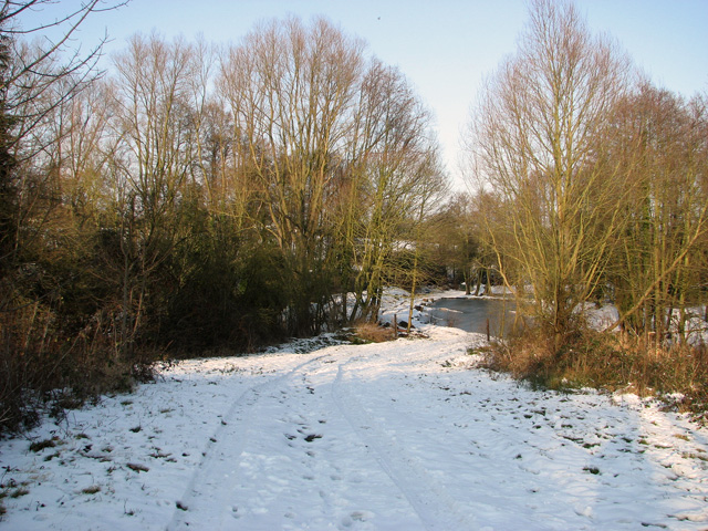
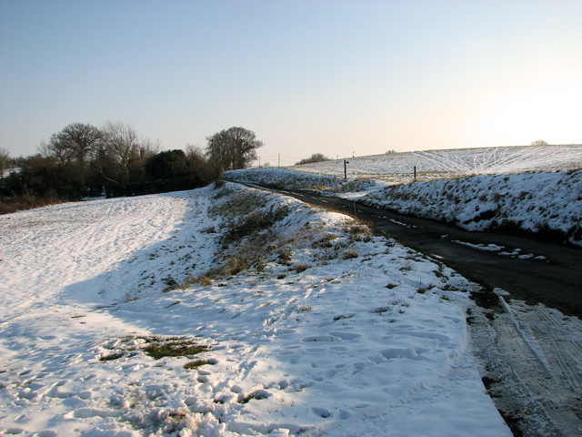
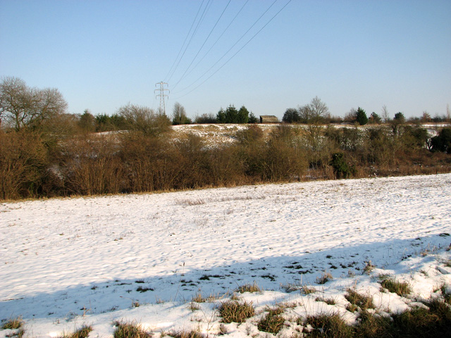
Berrishill Covert is a picturesque woodland located in Suffolk, England. Situated near the village of Berrishill, this woodland covers an area of approximately 100 acres, making it a significant natural asset in the region. The covert is renowned for its dense and lush vegetation, consisting primarily of various species of trees, including oak, beech, and birch.
The woodland is home to a diverse range of wildlife, making it a popular spot for nature enthusiasts. Birdwatchers can spot various species of birds, including woodpeckers, nuthatches, and tawny owls. Additionally, the covert provides a habitat for mammals such as deer, foxes, and rabbits.
The woodland is accessible through various footpaths, which allow visitors to explore and enjoy the tranquil surroundings. These paths wind through the trees, creating a serene atmosphere and providing opportunities for walkers to immerse themselves in nature. The area is well-maintained, with clear signage and occasional benches for visitors to rest and take in the beautiful scenery.
Berrishill Covert is also a designated site of special scientific interest due to its unique ecological features. The woodland supports a rich and diverse ecosystem, with an abundance of flora and fauna. Conservation efforts are in place to preserve and protect this valuable natural resource.
Overall, Berrishill Covert in Suffolk is a stunning woodland retreat that offers visitors a chance to escape the hustle and bustle of everyday life. With its lush vegetation, diverse wildlife, and well-maintained footpaths, it provides an ideal setting for nature lovers and those seeking a peaceful and rejuvenating experience in the heart of Suffolk's countryside.
If you have any feedback on the listing, please let us know in the comments section below.
Berrishill Covert Images
Images are sourced within 2km of 52.05655/1.0606034 or Grid Reference TM0944. Thanks to Geograph Open Source API. All images are credited.
Berrishill Covert is located at Grid Ref: TM0944 (Lat: 52.05655, Lng: 1.0606034)
Administrative County: Suffolk
District: Babergh
Police Authority: Suffolk
What 3 Words
///tree.inhales.shifters. Near Bramford, Suffolk
Nearby Locations
Related Wikis

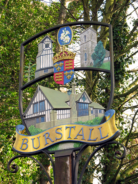
Burstall, Suffolk
Burstall is a village and civil parish in Suffolk, England. Located around 4 miles (6 km) west of Ipswich, it is part of Babergh district. The parish includes...
Hintlesham
Hintlesham is a small village in Suffolk, England, situated roughly halfway between Ipswich and Hadleigh. It is in the Belstead Brook electoral division...
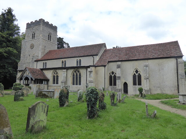
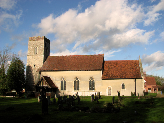
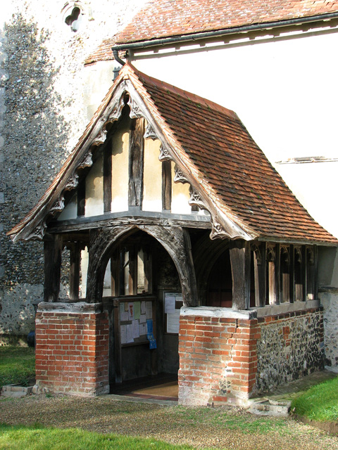
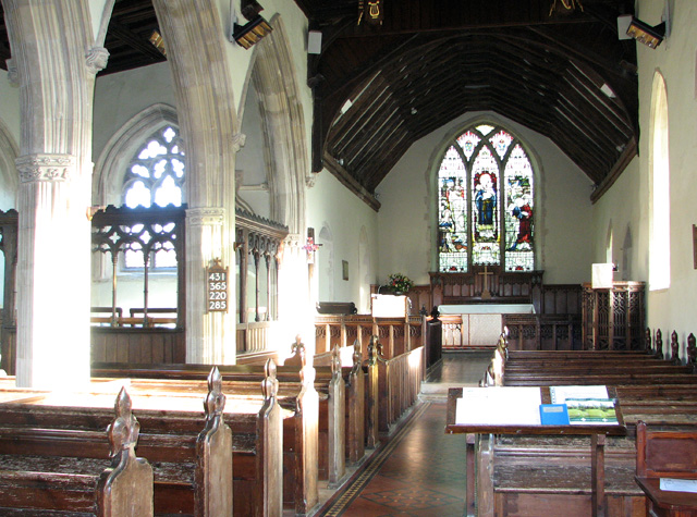
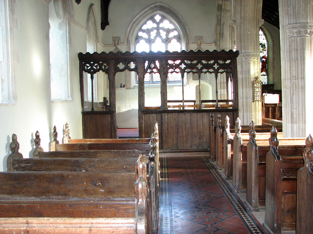
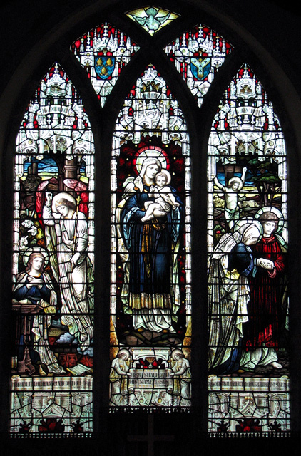
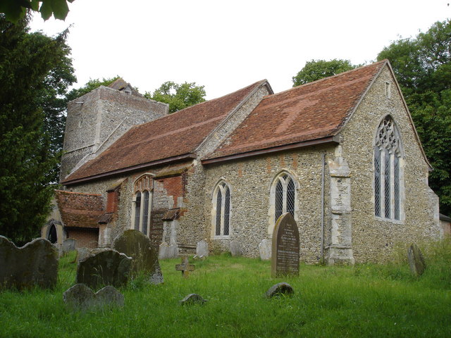
St Mary's Church, Washbrook
St Mary's Church is a redundant Anglican church in the village of Washbrook, Suffolk, England. It is recorded in the National Heritage List for England...
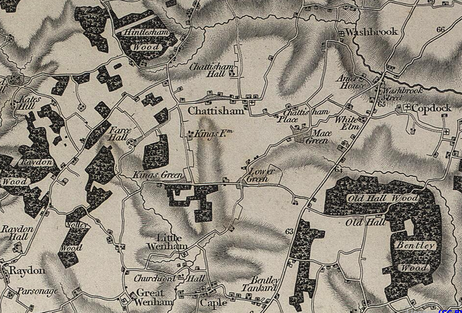
Chattisham
Chattisham is a village and civil parish in Suffolk, England. Located around two miles west of Ipswich and half a mile south of the A1071, it is part of...

Sproughton
Sproughton (pronounced Spror-ton) is a village in Suffolk, England, just to the west of Ipswich and is in the Babergh administrative district. It has a...
Washbrook
Washbrook is a village and former civil parish 3 miles (4.8 km) south west of Ipswich, now in the parish of Copdock and Washbrook, in the Babergh district...
Flowton
Flowton is a village and civil parish in the Mid Suffolk district of Suffolk in eastern England, with a population of 117 people. The name 'Flowton' originally...
Copdock and Washbrook
Copdock and Washbrook is a civil parish in the Babergh district in the county of Suffolk, England. It covers the villages of Copdock and Washbrook, as...
Nearby Amenities
Located within 500m of 52.05655,1.0606034Have you been to Berrishill Covert?
Leave your review of Berrishill Covert below (or comments, questions and feedback).