Long Covert
Wood, Forest in Suffolk Babergh
England
Long Covert
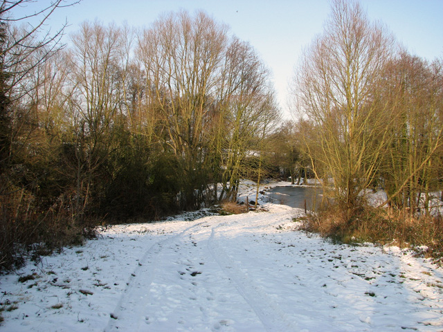
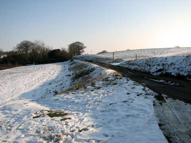
Long Covert, Suffolk (Wood, Forest) is a picturesque woodland located in the county of Suffolk, England. Situated in the eastern part of the country, this enchanting forest covers an expansive area of land, offering a serene and tranquil escape for nature lovers.
The forest is characterized by its dense and tall trees, creating a canopy that allows only dappled sunlight to filter through to the forest floor. The dominant tree species in Long Covert include oak, beech, and birch, which provide a rich habitat for various flora and fauna.
Walking through Long Covert, visitors are greeted by a diverse range of plant life. The forest floor is carpeted with a variety of wildflowers, ferns, and mosses, adding to the overall charm and beauty of the woodland. The air is filled with the sweet scent of wildflowers and the songs of birds, creating a peaceful and tranquil atmosphere.
The forest is also home to a wide array of wildlife, including deer, foxes, and various bird species. Birdwatchers will be delighted by the opportunity to spot woodland birds such as woodpeckers, owls, and thrushes.
Long Covert offers numerous walking trails, allowing visitors to explore the forest at their own pace. These well-maintained paths wind through the trees, providing breathtaking views and opportunities for wildlife observation. It is also a popular spot for picnics and family outings, with designated areas offering facilities for visitors to enjoy a leisurely meal amidst nature.
Overall, Long Covert, Suffolk (Wood, Forest) is a truly captivating woodland that showcases the natural beauty of the Suffolk countryside. With its diverse plant and animal life, it offers a serene and idyllic retreat for those seeking solace in nature.
If you have any feedback on the listing, please let us know in the comments section below.
Long Covert Images
Images are sourced within 2km of 52.057391/1.0586768 or Grid Reference TM0944. Thanks to Geograph Open Source API. All images are credited.
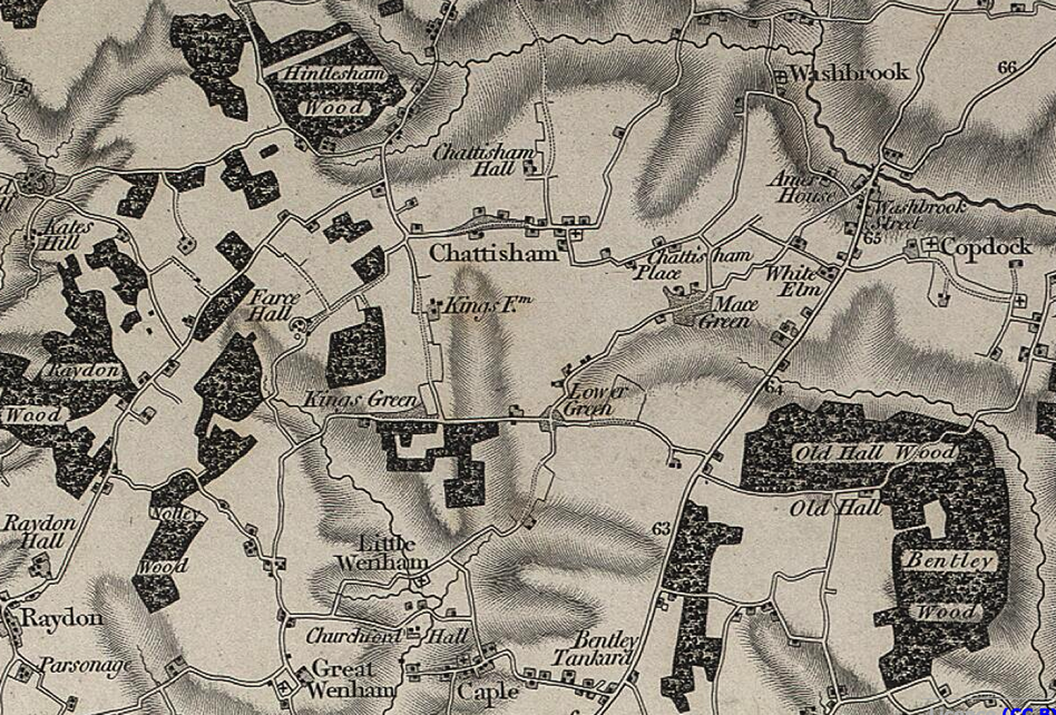
Long Covert is located at Grid Ref: TM0944 (Lat: 52.057391, Lng: 1.0586768)
Administrative County: Suffolk
District: Babergh
Police Authority: Suffolk
What 3 Words
///retiring.grudges.pats. Near Bramford, Suffolk
Nearby Locations
Related Wikis

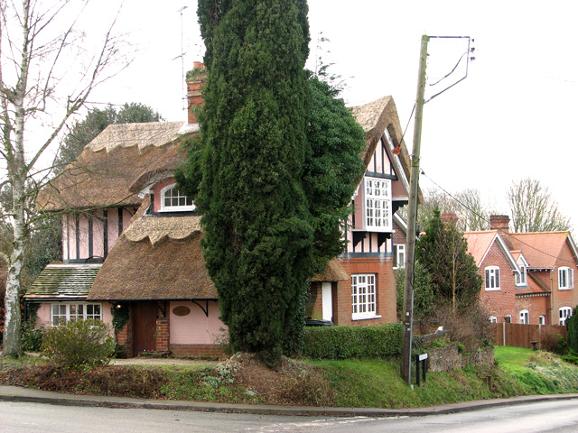
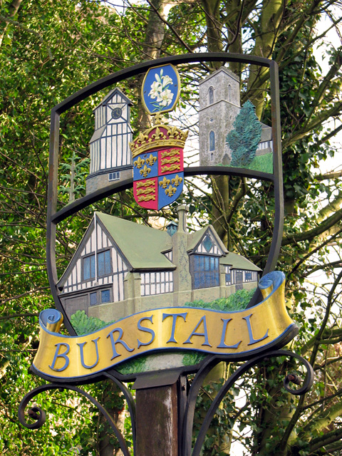
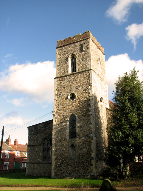
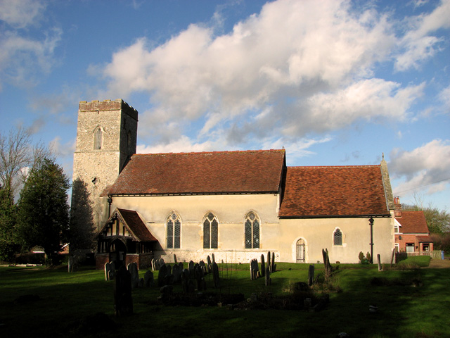
Burstall, Suffolk
Burstall is a village and civil parish in Suffolk, England. Located around 4 miles (6 km) west of Ipswich, it is part of Babergh district. The parish includes...
Hintlesham
Hintlesham is a small village in Suffolk, England, situated roughly halfway between Ipswich and Hadleigh. It is in the Belstead Brook electoral division...
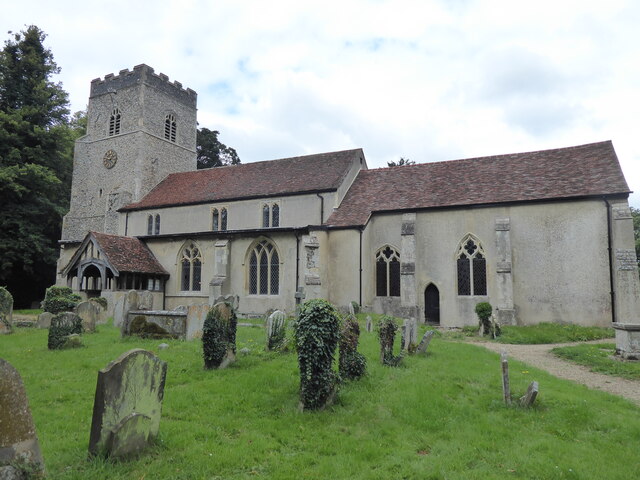
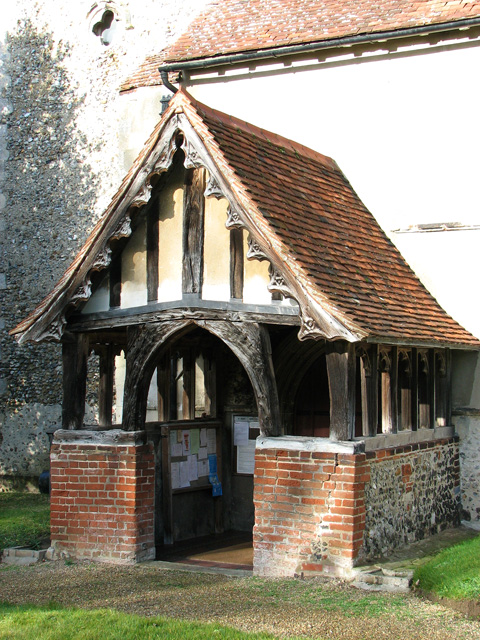
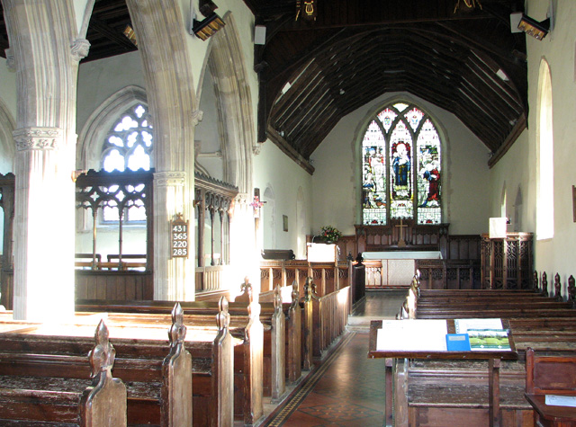
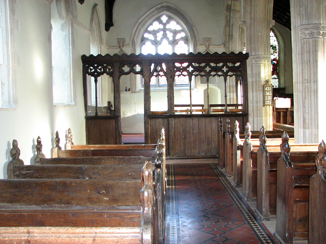
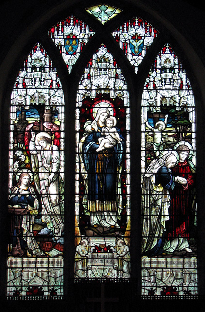
St Mary's Church, Washbrook
St Mary's Church is a redundant Anglican church in the village of Washbrook, Suffolk, England. It is recorded in the National Heritage List for England...
Chattisham
Chattisham is a village and civil parish in Suffolk, England. Located around two miles west of Ipswich and half a mile south of the A1071, it is part of...
Nearby Amenities
Located within 500m of 52.057391,1.0586768Have you been to Long Covert?
Leave your review of Long Covert below (or comments, questions and feedback).