Four Pools
Settlement in Worcestershire Wychavon
England
Four Pools

Four Pools is a small village located in the county of Worcestershire, England. Situated approximately 5 miles south of the town of Bromsgrove, it is nestled in a picturesque rural area known for its natural beauty and tranquility.
The village takes its name from the four pools that are scattered throughout the area, offering scenic views and serving as a popular spot for fishing and wildlife observation. These pools, surrounded by lush greenery and trees, create a serene atmosphere that is cherished by both residents and visitors alike.
The village of Four Pools is primarily residential, consisting of a mix of traditional cottages and newer housing developments. The community exudes a friendly and close-knit vibe, with local residents actively involved in various village events and organizations.
Despite its small size, Four Pools offers a range of amenities to cater to the needs of its residents. These include a local primary school, a village hall that hosts community events and gatherings, and a quaint village pub where locals can socialize and unwind.
Nature lovers and outdoor enthusiasts are drawn to Four Pools for its proximity to stunning countryside landscapes. The village is surrounded by rolling hills, meandering footpaths, and bridleways, providing ample opportunities for walking, cycling, and horse riding adventures.
Overall, Four Pools is a charming and peaceful village that offers a harmonious blend of natural beauty, community spirit, and rural living.
If you have any feedback on the listing, please let us know in the comments section below.
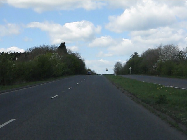
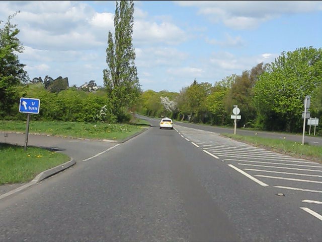
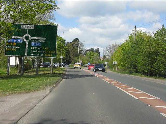
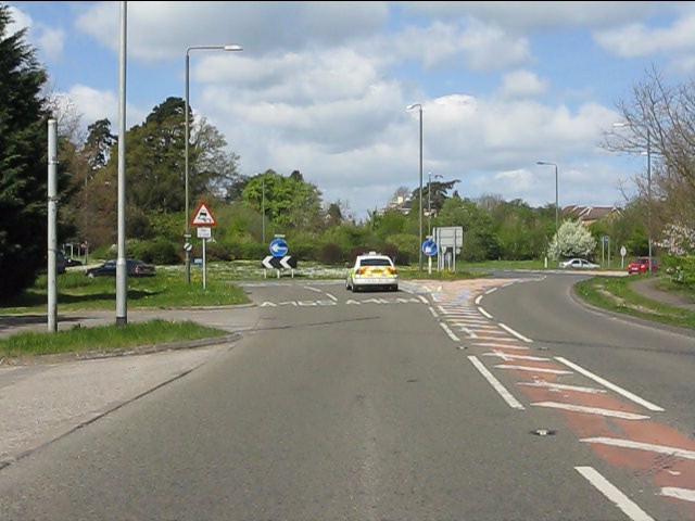
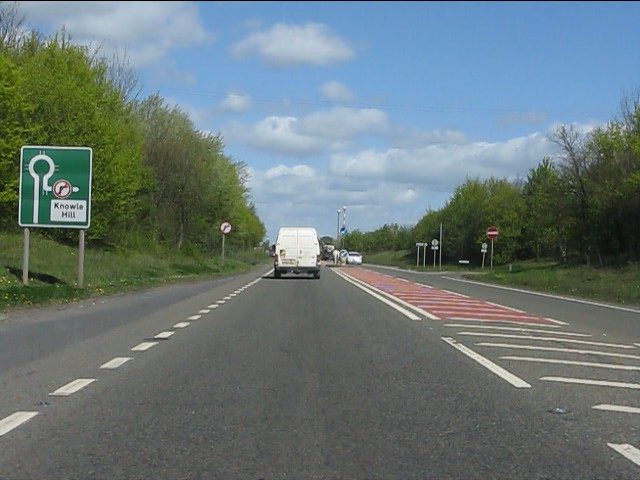
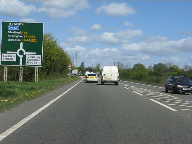
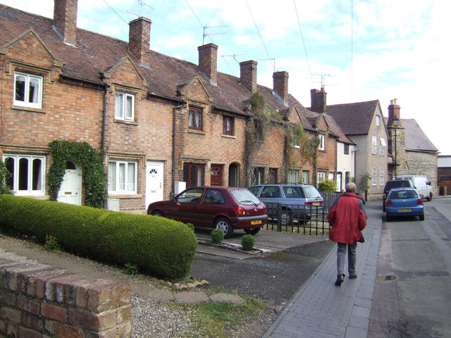
Four Pools Images
Images are sourced within 2km of 52.081783/-1.937466 or Grid Reference SP0442. Thanks to Geograph Open Source API. All images are credited.


Four Pools is located at Grid Ref: SP0442 (Lat: 52.081783, Lng: -1.937466)
Administrative County: Worcestershire
District: Wychavon
Police Authority: West Mercia
What 3 Words
///radio.melts.scanning. Near Evesham, Worcestershire
Nearby Locations
Related Wikis

Vale of Evesham School
Vale of Evesham School in Evesham, in the county of Worcestershire, England, is a special needs school for around 150 mixed gender pupils aged 3 to 19...
Bengeworth
Bengeworth is a locality adjoining Evesham in Worcestershire, England. In 1887 it had a population of 1,311. Today it has a school and an Anglican church...
The De Montfort School
The De Montfort School (formerly known as The Federation of Evesham High School & Simon de Montfort Middle School) is a co-educational secondary school...

Evesham Rowing Club
Evesham Rowing Club is a rowing club on the River Avon, based at The Boathouse, Abbey Park, Evesham, Worcestershire. == History == The club was founded...
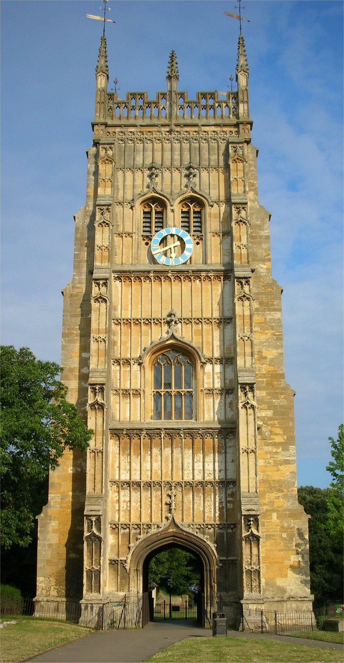
Evesham Abbey
Evesham Abbey was founded by Saint Egwin at Evesham in Worcestershire, England between 700 and 710 following an alleged vision of the Virgin Mary by a...
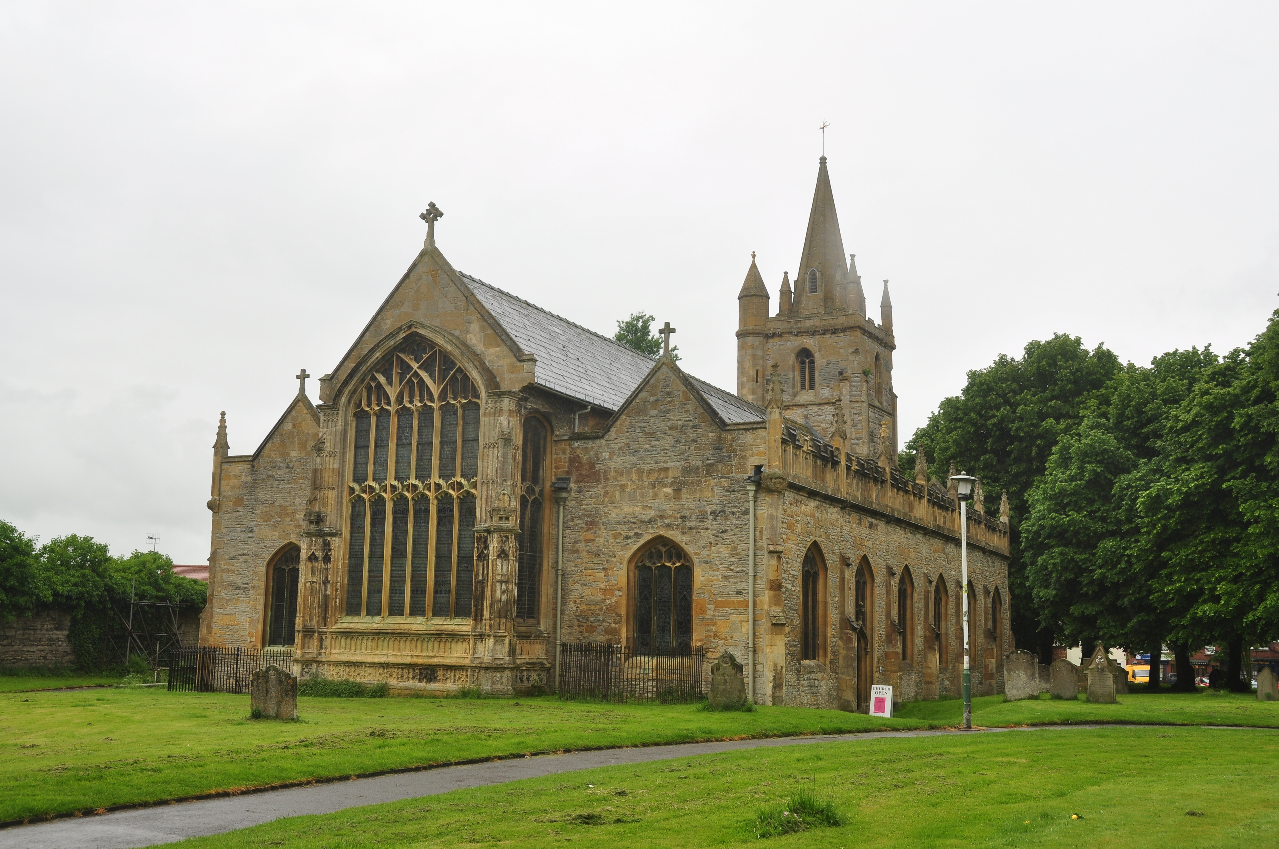
St Lawrence's Church, Evesham
St Lawrence's Church is a redundant Anglican church in the centre of the town of Evesham, Worcestershire, England. It is recorded in the National Heritage...
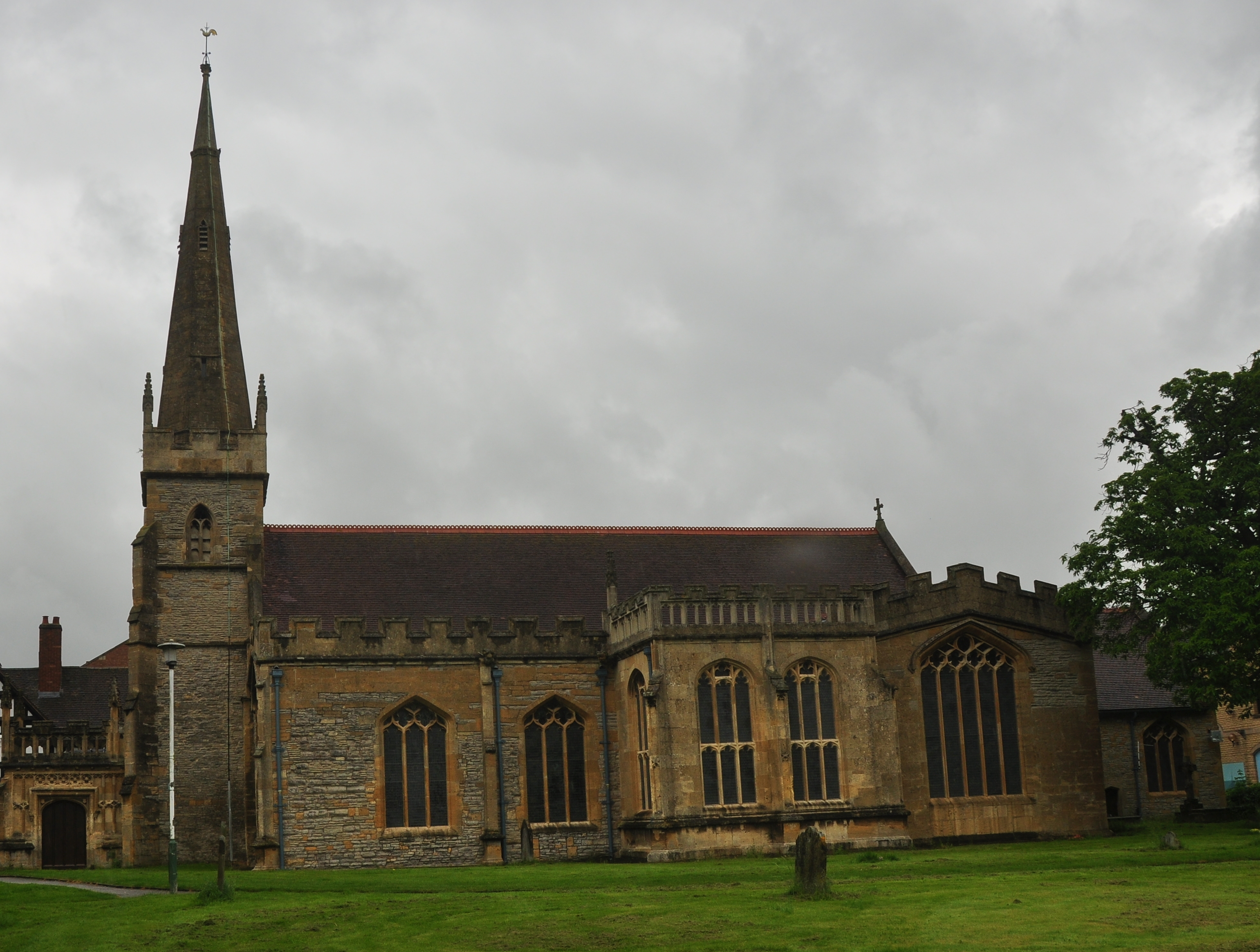
All Saints Church, Evesham
All Saints Church is an active Anglican church in the centre of the town of Evesham, Worcestershire, England. All Saints and its neighbour St Lawrence...
Evesham
Evesham () is a market town and parish in the Wychavon district of Worcestershire, in the West Midlands region of England. It is located roughly equidistant...
Nearby Amenities
Located within 500m of 52.081783,-1.937466Have you been to Four Pools?
Leave your review of Four Pools below (or comments, questions and feedback).