Bossenden Wood
Wood, Forest in Kent Swale
England
Bossenden Wood
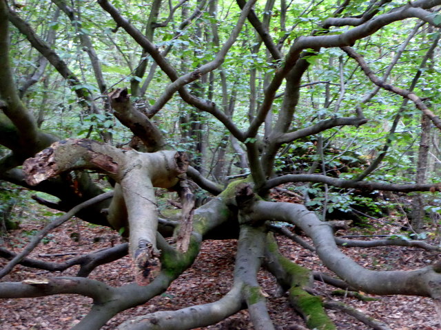
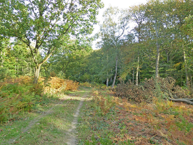
Bossenden Wood is a picturesque woodland located in Kent, England. Covering an area of approximately 160 acres, it is a popular destination for nature enthusiasts and walkers alike. The wood is situated near the village of Herne, just a short distance from the coastal town of Herne Bay.
The woodland is characterized by its diverse range of tree species, including oak, beech, birch, and chestnut. These majestic trees create a dense canopy, providing shelter and habitat for a variety of wildlife. Visitors to Bossenden Wood may be lucky enough to spot deer, foxes, and a wide array of bird species, making it a perfect spot for birdwatching.
The wood is crisscrossed by numerous footpaths and trails, allowing visitors to explore its beauty at their own pace. One of the most popular routes is the Bossenden Wood Circular Walk, which takes walkers on a scenic journey through the heart of the woodland. It offers breathtaking views and a chance to experience the tranquil atmosphere of this ancient forest.
Bossenden Wood is also known for its historical significance. It is believed to have been the site of the infamous Bossenden Wood Murder in 1838, where a local farmer was brutally killed. This dark event has added an air of mystery and intrigue to the woodland, attracting those interested in historical crime.
Overall, Bossenden Wood is a haven of natural beauty and tranquility in the heart of Kent. Whether you are a nature lover, walker, or history enthusiast, this woodland offers something for everyone.
If you have any feedback on the listing, please let us know in the comments section below.
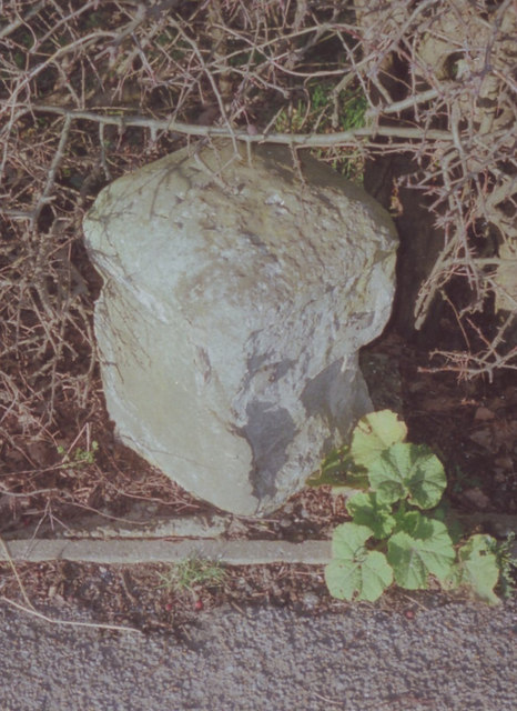
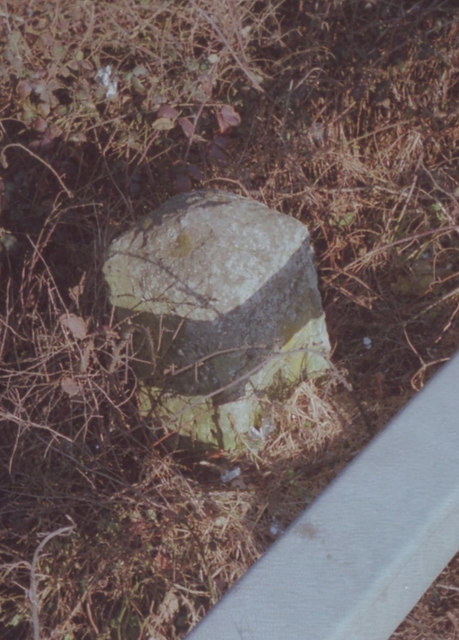
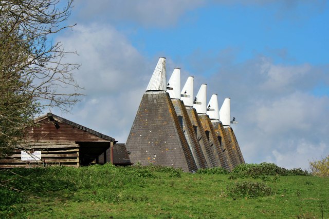
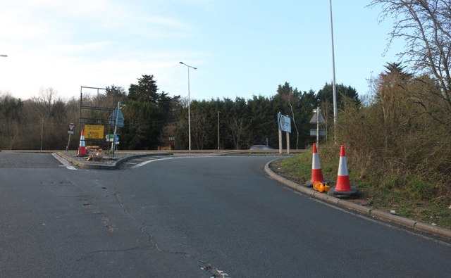
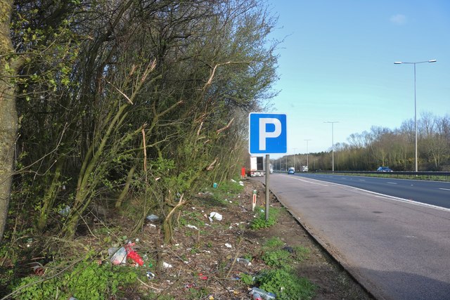
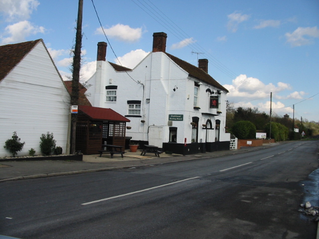
Bossenden Wood Images
Images are sourced within 2km of 51.297068/0.99974722 or Grid Reference TR0959. Thanks to Geograph Open Source API. All images are credited.


Bossenden Wood is located at Grid Ref: TR0959 (Lat: 51.297068, Lng: 0.99974722)
Administrative County: Kent
District: Swale
Police Authority: Kent
What 3 Words
///riverbank.magical.eternally. Near Blean, Kent
Nearby Locations
Related Wikis

Battle of Bossenden Wood
The Battle of Bossenden Wood took place on 31 May 1838 near Hernhill in Kent; it has been called the last battle on English soil. The battle was fought...

Church Woods, Blean
Church Woods, Blean is a 526.7-hectare (1,302-acre) biological Site of Special Scientific Interest north-west of Canterbury in Kent. It is a Nature Conservation...
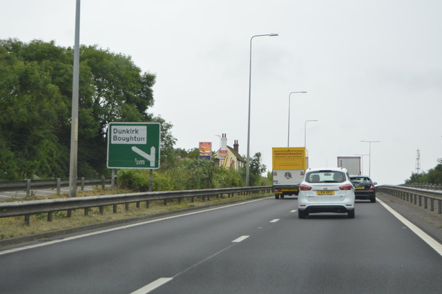
Dunkirk, Kent
Dunkirk is a village and civil parish between Faversham and Canterbury in southeast England. It lies on the Canterbury Road between Boughton under Blean...

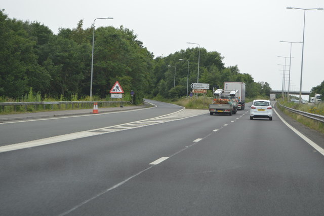
Boughton under Blean
Boughton under Blean is a village and civil parish between Faversham and Canterbury in south-east England. "Boughton under Blean" technically refers only...
Nearby Amenities
Located within 500m of 51.297068,0.99974722Have you been to Bossenden Wood?
Leave your review of Bossenden Wood below (or comments, questions and feedback).