Alder Carr
Wood, Forest in Norfolk Breckland
England
Alder Carr
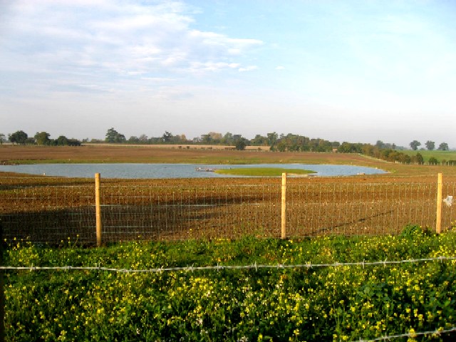
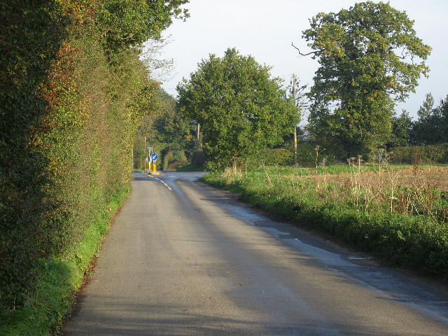
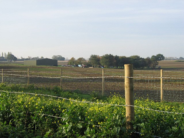
Alder Carr, Norfolk is a flourishing woodland area located in the eastern region of England. Spanning over acres of picturesque landscape, this enchanting forest is renowned for its dense growth of alder trees, which form an integral part of its ecosystem. The forest is teeming with diverse flora and fauna, creating a haven for nature enthusiasts and wildlife lovers.
The alder trees dominate the landscape with their slender trunks and vibrant green leaves, providing a lush canopy that filters sunlight and creates a serene atmosphere. The forest floor is adorned with a rich carpet of mosses, ferns, and wildflowers, adding to the area's natural beauty.
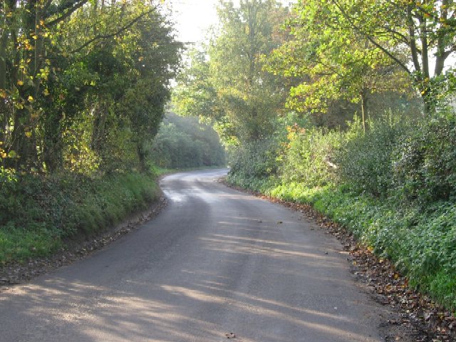
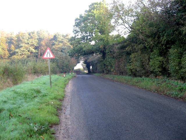
Alder Carr boasts a network of well-maintained trails that wind through the forest, allowing visitors to explore its wonders. These trails offer breathtaking views of the surrounding countryside, including the nearby River Wensum, which meanders through the woodlands, adding to the area's charm.
The forest is home to a wide range of wildlife, making it a sanctuary for birdwatchers and animal enthusiasts. Visitors may be fortunate enough to spot various species of birds, including woodpeckers, owls, and warblers. Other inhabitants of the forest include deer, foxes, and rabbits, which can occasionally be observed in their natural habitat.
Alder Carr is not only a natural treasure but also a place of educational value. The forest hosts workshops and guided tours, allowing visitors to learn about the importance of woodland conservation and the delicate balance of its ecosystem.
Overall, Alder Carr, Norfolk offers an immersive experience in the heart of nature, providing a tranquil retreat for individuals seeking solace and a deeper connection with the natural world.
If you have any feedback on the listing, please let us know in the comments section below.
Alder Carr Images
Images are sourced within 2km of 52.664868/1.0925927 or Grid Reference TG0911. Thanks to Geograph Open Source API. All images are credited.


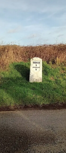
Alder Carr is located at Grid Ref: TG0911 (Lat: 52.664868, Lng: 1.0925927)
Administrative County: Norfolk
District: Breckland
Police Authority: Norfolk
What 3 Words
///booms.mergers.flannel. Near Mattishall, Norfolk
Nearby Locations
Related Wikis

East Tuddenham
East Tuddenham is a village in the English county of Norfolk. The village is located 5.6 miles (9.0 km) south-west of Dereham and 9.5 miles (15.3 km) north...

Honingham
Honingham is a village and civil parish in the English county of Norfolk, located 8 miles (13 km) to the west of Norwich along the A47 trunk road. It covers...
Hockering
Hockering is a village and civil parish in Norfolk, England. At the 2001 census the parish had a population of 628. By 2007, the district estimated that...

Honingham Hall
Honingham Hall was a large country house at Honingham in Norfolk. == History == The house was commissioned by Sir Thomas Richardson, Chief Justice of the...

RAF Mattishall
RAF Mattishall is a former Royal Flying Corps landing ground located 1 mile (1.6 km) east of Mattishall, Norfolk and 10.2 miles (16.4 km) north west of...

Colton, Norfolk
Colton is a village and former civil parish, 8 miles (13 km) west of Norwich, now in the parish of Marlingford and Colton, in the South Norfolk district...

Hockering Wood
Hockering Wood is an 89.5-hectare (221-acre) biological Site of Special Scientific Interest east of Dereham in Norfolk.This is one of the largest areas...

RAF Attlebridge
Royal Air Force Attlebridge, or simply RAF Attlebridge, is a former Royal Air Force station located near Attlebridge and 8 miles (13 km) northwest of Norwich...
Nearby Amenities
Located within 500m of 52.664868,1.0925927Have you been to Alder Carr?
Leave your review of Alder Carr below (or comments, questions and feedback).