Rook Wood

Wood, Forest in Essex Tendring

England

Rook Wood

St Mary Magdalene church and churchyard, Thorrington
St Mary Magdalene church and churchyard, Thorrington Credit: Helen Steed

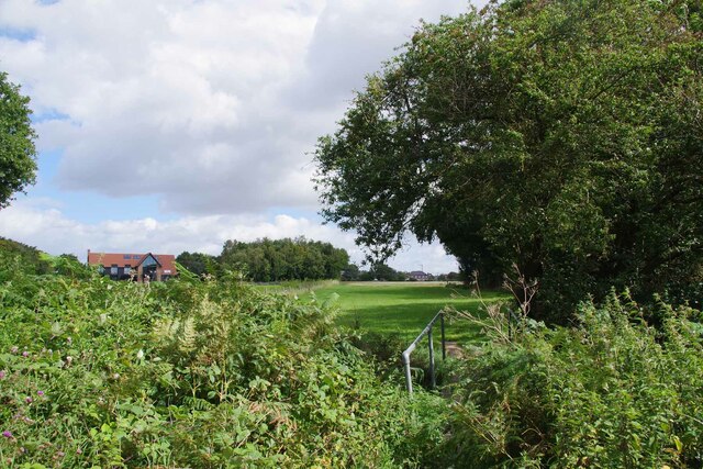
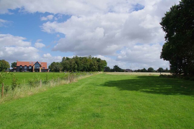
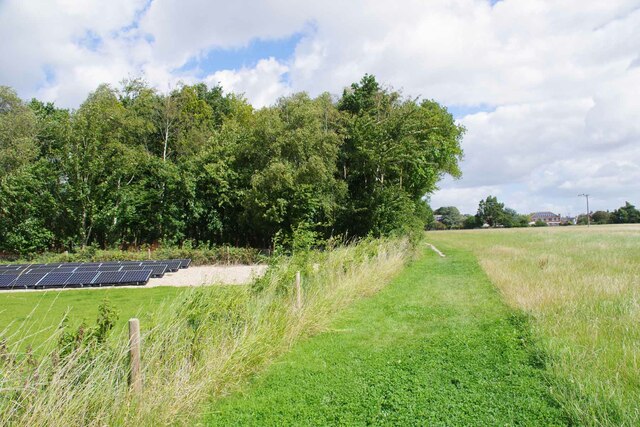
Rook Wood, located in Essex, England, is a picturesque forest area known for its natural beauty and diverse wildlife. Covering an expansive area, Rook Wood is a popular destination for nature enthusiasts, hikers, and birdwatchers.

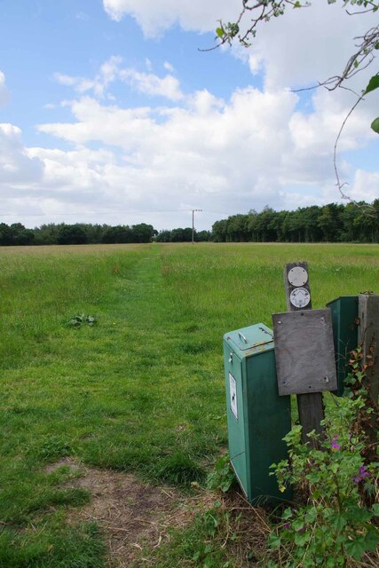
The forest is characterized by its dense canopy of oak, beech, and birch trees, which provide a cool and serene atmosphere, especially during the summer months. The woodland floor is carpeted with a rich variety of wildflowers, adding vibrant colors to the landscape. Rook Wood is also home to several small streams and ponds, further enhancing its natural charm.

One of the standout features of Rook Wood is its abundance of bird species. Ornithologists and birdwatchers flock to the forest to catch a glimpse of the various resident and migratory birds, including woodpeckers, nightingales, and owls. The ancient trees provide a perfect habitat for these feathered creatures, and their melodious songs can often be heard echoing throughout the woods.

In addition to its natural wonders, Rook Wood holds historical significance. It is believed to have been used as a hunting ground by the local nobility in medieval times. The remnants of an old hunting lodge can still be found within the forest, serving as a reminder of its rich past.

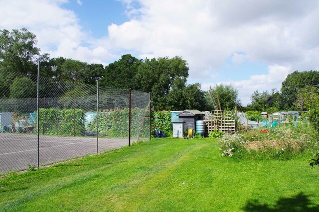
Rook Wood offers a range of recreational activities, including walking trails and picnic spots, making it a popular destination for families and outdoor enthusiasts. With its captivating beauty and tranquil ambiance, Rook Wood continues to be a cherished natural treasure in Essex.

If you have any feedback on the listing, please let us know in the comments section below.
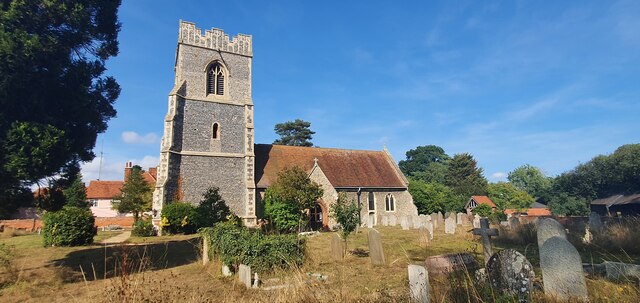
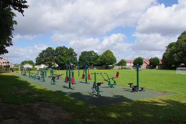
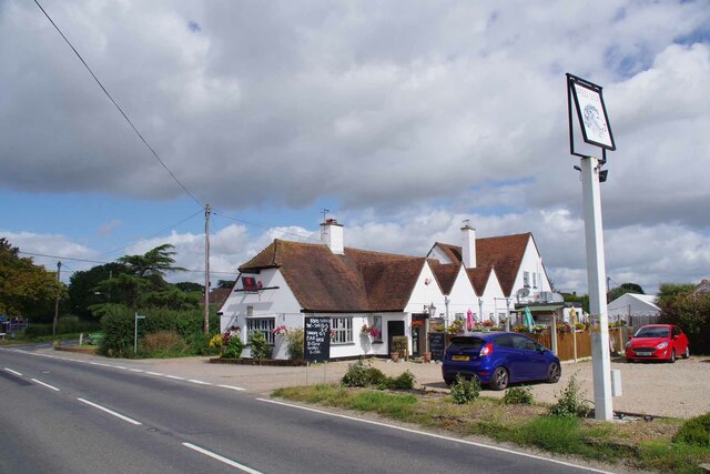
Rook Wood Images

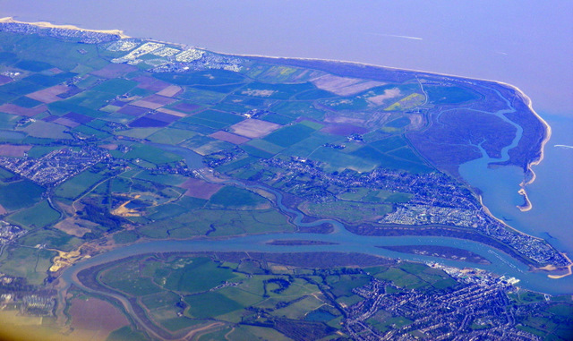
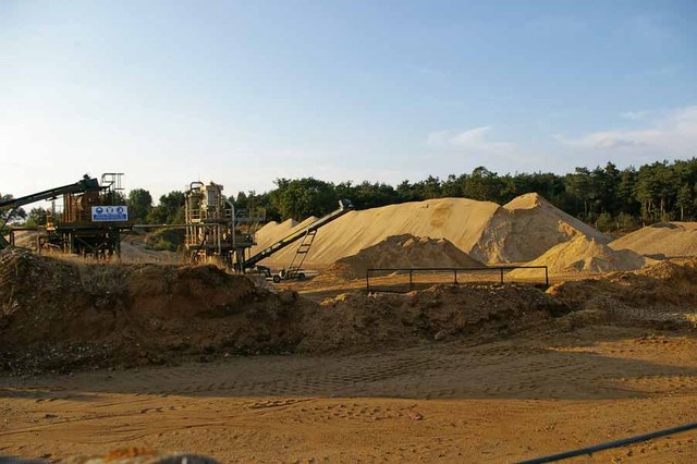
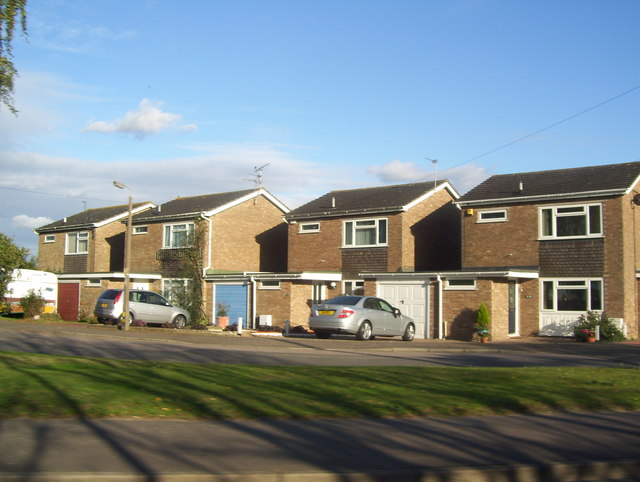
Images are sourced within 2km of 51.830808/1.0271197 or Grid Reference TM0819. Thanks to Geograph Open Source API. All images are credited.

St Mary Magdalene church and churchyard, Thorrington
Thorrington Village Hall On the wall is <a href="https://www.geograph.org.uk/photo/7570814">TM0920 : Thorrington War Memorial</a>
Thorrington Village Hall
Thorrington War Memorial This is attached to <a href="https://www.geograph.org.uk/photo/7570806">TM0920 : Thorrington Village Hall</a>
Thorrington War Memorial
This is attached to TM0920 : Thorrington Village Hall
Thorrington Recreation Ground The adult play area!
Thorrington Recreation Ground
The adult play area!
The Red Lion Thorrington Not quite opening time.
The Red Lion Thorrington
Not quite opening time.
Thorrington Footpath 8 Looking towards Brightlingsea.
Thorrington Footpath 8
Looking towards Brightlingsea.
Footbridge on Footpath 8 Looking towards the <a href="https://www.geograph.org.uk/photo/7570847">TM0919 : Thorrington Footpath 12 and 8 Junction</a> across a drainage ditch.
Footbridge on Footpath 8
Looking towards the TM0919 : Thorrington Footpath 12 and 8 Junction across a drainage ditch.
Thorrington Footpath 12 and 8 Junction Footpath 12 is the left fork
Thorrington Footpath 12 and 8 Junction
Footpath 12 is the left fork
Thorrington Footpath 12 by Glebe Farm
Thorrington Allotments If you get bored of digging there is always the tennis court to entertain you.
Thorrington Allotments
If you get bored of digging there is always the tennis court to entertain you.
The B1027 at Thorrington This is the view from the small track that leads to Thorrington church.
The B1027 at Thorrington
This is the view from the small track that leads to Thorrington church.
Brightlingsea and Point Clear Bay from the air With the North Sea coast and part of Clacton in the distance. Viewed from a Prague bound flight from Heathrow.
Brightlingsea and Point Clear Bay from the air
With the North Sea coast and part of Clacton in the distance. Viewed from a Prague bound flight from Heathrow.
Sand Quarry in Ford Lane On the way to the ford across Alresford Creek
Sand Quarry in Ford Lane
On the way to the ford across Alresford Creek
Olde Forge, Brightlingsea
Houses on Clacton Road
Clacton Road (B1027)
Thorrington Tide Mill - Breastshot Wheel The wheel seen here still works but it can't grind flour due to an accident a few years ago (see below).
Thorrington Tide Mill - Breastshot Wheel
The wheel seen here still works but it can't grind flour due to an accident a few years ago (see below).
Thorrington Tide Mill Open today, the fourth Sunday of the month.
Thorrington Tide Mill
Open today, the fourth Sunday of the month.
Show me another place!

Rook Wood is located at Grid Ref: TM0819 (Lat: 51.830808, Lng: 1.0271197)

Administrative County: Essex

District: Tendring

Police Authority: Essex

What 3 Words

///tanked.goad.eclipses. Near Brightlingsea, Essex

Nearby Locations

Rook Wood Mill Dam

Related Wikis

Thorrington

Thorrington is a village and civil parish in the Tendring district of Essex, England. It lies 3 miles (5 km) east of Wivenhoe and 1.9 miles (3 km) north...

Brightlingsea Regent F.C.

Brightlingsea Regent Football Club is an English football club based in Brightlingsea, Essex. Formed by a merger of Brightlingsea United and Regent Park...

Thorington railway station

Thorington railway station (also Thorrington railway station) was a station in Thorrington, Essex on the line (now called the Sunshine Coast Line) from...

Frating Abbey

Frating Abbey was reputably an abbey in the village of Frating, in Essex, England. There is no evidence that there was more than a farm raising funds for...

Nearby Amenities

Located within 500m of 51.830808,1.0271197
Barrier: kissing_gate
Lat/Long: 51.8282985/1.031242
Bus Stop
Mill House
Bus: yes
Naptan AtcoCode: 150032004006
Naptan Bearing: NE
Naptan CommonName: Mill House
Naptan Indicator: NE-bound
Naptan Landmark: Mill House
Naptan NaptanCode: esxgjmdj
Naptan Street: Brightlingsea Road
Naptan Verified: no
Public Transport: platform
Source: naptan_import
Lat/Long: 51.8348703/1.0242505
The data included in this document is from www.openstreetmap.org. The data is made available under ODbL.

Have you been to Rook Wood?

Leave your review of Rook Wood below (or comments, questions and feedback).