Black Brooks Wood

Wood, Forest in Kent Ashford

England

Black Brooks Wood

Chilham Mill Nineteenth century corn mill on an island in the middle of the Great Stour - now a Grade II Listed Building.
Chilham Mill Credit: Chris Heaton

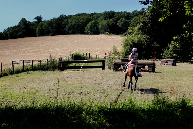
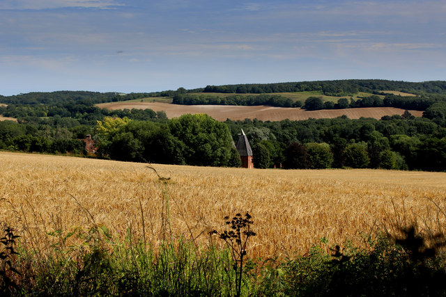
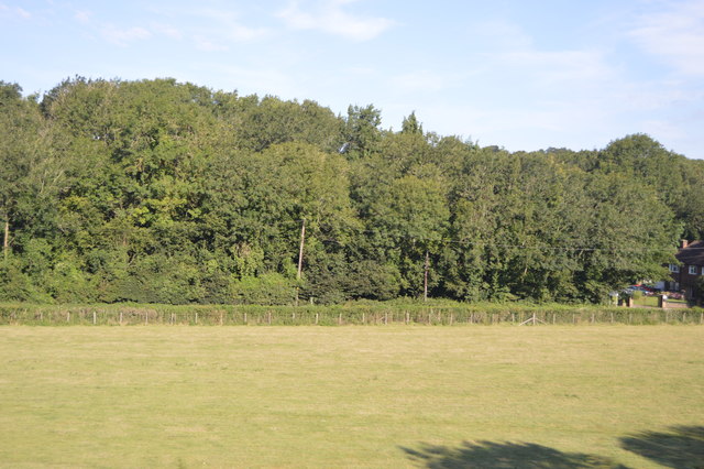
Black Brooks Wood is a picturesque woodland located in Kent, England. Covering an area of approximately 50 acres, it is known for its natural beauty and rich biodiversity. The woodland is part of the wider Black Brooks Site of Nature Conservation Interest, which encompasses a variety of habitats including wetlands, grasslands, and scrubland.

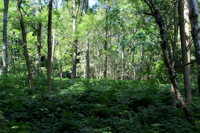
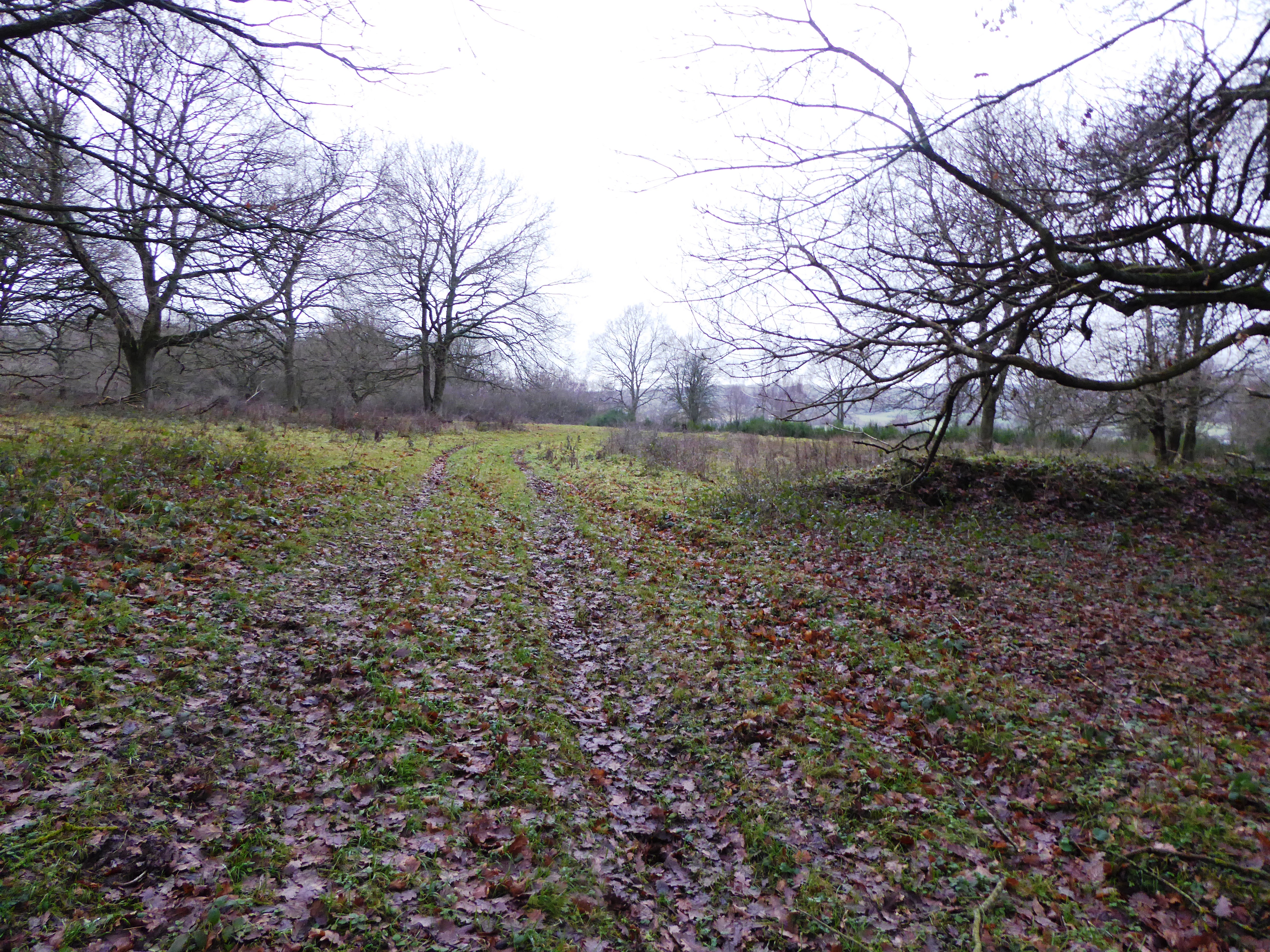
The wood itself is characterized by its dense canopy of mature trees, predominantly consisting of oak, birch, and beech. These towering trees create a serene and tranquil atmosphere, making it a popular destination for nature lovers and walkers alike. The forest floor is carpeted with a diverse array of wildflowers, ferns, and mosses, further enhancing the enchanting ambiance.

The wood is home to a wide range of wildlife, including several species of birds, mammals, and insects. Birdwatchers can spot species such as woodpeckers, nuthatches, and tawny owls, while lucky visitors may catch a glimpse of deer, foxes, and badgers.

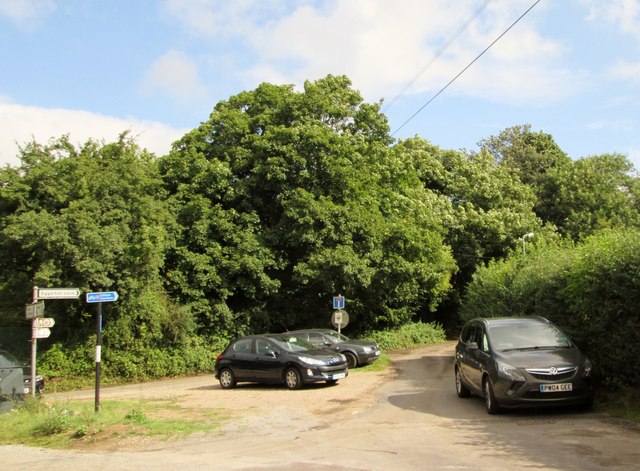
Black Brooks Wood offers various walking trails and footpaths, allowing visitors to explore its natural wonders at their own pace. The wood is well-maintained, with clear signage and information boards providing insights into the flora and fauna found within.

The wood is a designated Local Wildlife Site, reflecting its significance for biodiversity conservation. It is managed by a local conservation organization in collaboration with the local council to ensure the preservation of its natural heritage for future generations to enjoy.

Overall, Black Brooks Wood is a hidden gem in the Kentish countryside, offering a haven of tranquility and a chance to connect with nature.

If you have any feedback on the listing, please let us know in the comments section below.

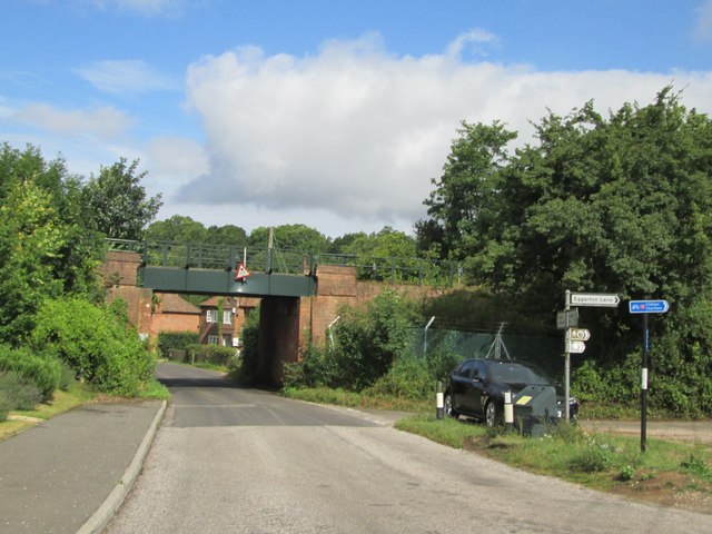
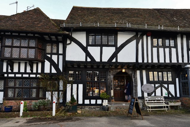
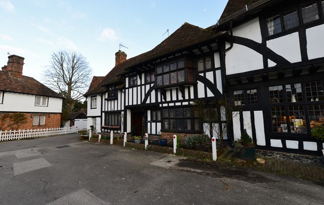
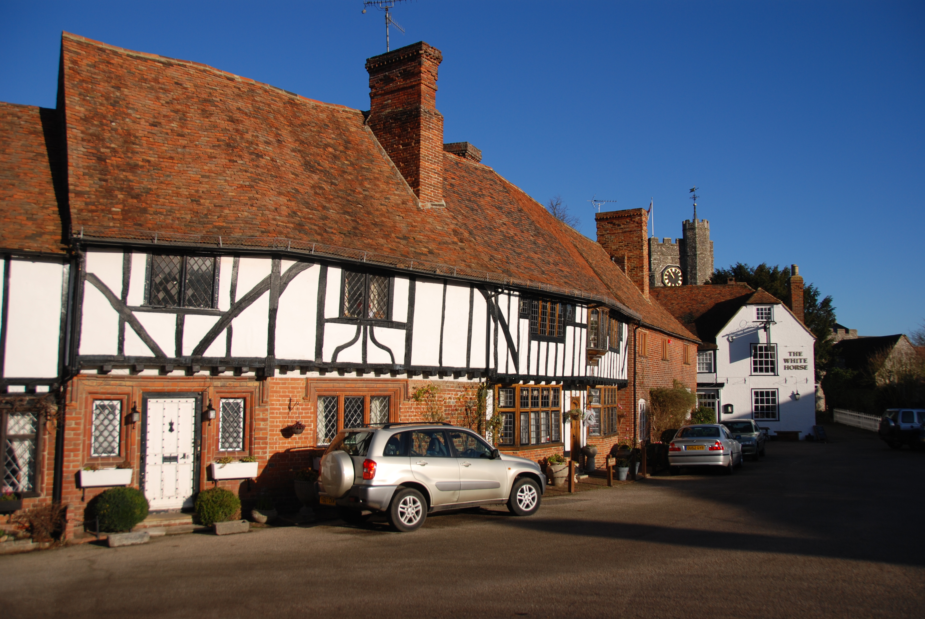
Black Brooks Wood Images

Images are sourced within 2km of 51.226779/0.9693012 or Grid Reference TR0751. Thanks to Geograph Open Source API. All images are credited.

Chilham Mill Nineteenth century corn mill on an island in the middle of the Great Stour - now a Grade II Listed Building.
Chilham Mill
Nineteenth century corn mill on an island in the middle of the Great Stour - now a Grade II Listed Building.
Bridge over the Great Stour Carries a track over the river towards the A28 at Bagham.
Bridge over the Great Stour
Carries a track over the river towards the A28 at Bagham.
Great Stour at Bagham
Taylors Hill, Chilham Having walked from Canterbury - this was quite a climb to reach the White Horse Inn at the top, in "The Square"
Taylors Hill, Chilham
Having walked from Canterbury - this was quite a climb to reach the White Horse Inn at the top, in "The Square"
Horse Trials in Chilham Park Seen from the North Downs Way, a horse and rider competing in an equestrian event.
Horse Trials in Chilham Park
Seen from the North Downs Way, a horse and rider competing in an equestrian event.
A View from Mountain Street Sweeping view eastwards over the Great Stour Valley from the North Downs Way National Trail, which at this point was following a narrow road called Mountain Street.
A View from Mountain Street
Sweeping view eastwards over the Great Stour Valley from the North Downs Way National Trail, which at this point was following a narrow road called Mountain Street.
Towards Hurst Farm Taken from the North Downs National Trail, this looks south east towards an oast house - marking the position of Hurst Farm.
Towards Hurst Farm
Taken from the North Downs National Trail, this looks south east towards an oast house - marking the position of Hurst Farm.
Beech The Ordnance Survey simply marks this section of woodland as "Beech" - as seen just off the North Downs Way National Trail
This refers to the species of tree, rather than the name of the location.
Beech
The Ordnance Survey simply marks this section of woodland as "Beech" - as seen just off the North Downs Way National Trail This refers to the species of tree, rather than the name of the location.
The  entrance to Eggarton  Lane I can only assume the cars parked here are walkers on the footpaths around including the Stour Valley  Walk
The entrance to Eggarton Lane
I can only assume the cars parked here are walkers on the footpaths around including the Stour Valley Walk
Road  to  The  Street  under  railway  bridge The rail line is between Ashford and Canterbury, to the right is Eggarton Lane
Road to The Street under railway bridge
The rail line is between Ashford and Canterbury, to the right is Eggarton Lane
Bagham  A28   A252  junction The A28 Ashford Canterbury road is joined here by the A252 from Maidstone and the A28 has to give way! Temporary lights at the moment due to building work alongside the road
Bagham A28 A252 junction
The A28 Ashford Canterbury road is joined here by the A252 from Maidstone and the A28 has to give way! Temporary lights at the moment due to building work alongside the road
Pumping  station  alongside  the  A28  at  Bagham
Pumping station alongside the A28 at Bagham
Chilham: "Pilgrim Milestone" by Steven Andrews
Chilham: The White Horse PH
Chilham: Gift Shop
Chilham: Gift Shop
Chilham: Attractive half timbered buildings
View towards Ashford Rd
Show me another place!

Black Brooks Wood is located at Grid Ref: TR0751 (Lat: 51.226779, Lng: 0.9693012)

Administrative County: Kent

District: Ashford

Police Authority: Kent

What 3 Words

///pigtails.blink.fighters. Near Chartham, Kent

Related Wikis

Down Bank

Down Bank is a 5.9-hectare (15-acre) biological Site of Special Scientific Interest south-west of Canterbury in Kent.This sloping chalk meadow has the...

Godmersham

Godmersham is a village and civil parish in the Ashford District of Kent, England. The village straddles the Great Stour river where it cuts through the...

Julliberrie's Grave

Julliberrie's Grave, also known as The Giant's Grave or The Grave, is an unchambered long barrow located near to the village of Chilham in the south-eastern...

Stour Valley Walk

The Stour Valley Walk is a recreational walking route that follows the River Stour, through the Low Weald and Kent Downs, from its source at Lenham to...

Chilham Castle

Chilham Castle is a Jacobean manor house and keep in the village of Chilham, between Ashford and Canterbury in the county of Kent, England. The keep is...

Chilham

Chilham is a mostly agricultural village and parish in the English county of Kent with a clustered settlement, Chilham village centre, in the northeast...

Chilham railway station

Chilham railway station is a railway station in Chilham, Kent. It is on the Ashford to Ramsgate line between Ashford International and Canterbury West...

Broadham Down

Broadham Down is a 16-hectare (40-acre) nature reserve east of Chilham and west of Canterbury in Kent. It is managed by the Kent Wildlife Trust.This nature...

Nearby Amenities

Located within 500m of 51.226779,0.9693012
Bus Stop
Pope Street
Bench: no
Bin: no
Lit: no
Local Ref: adj
Naptan AtcoCode: 2400A025460A
Naptan Bearing: S
Naptan BusStopType: MKD
Naptan CommonName: Pope Street
Naptan Indicator: adj
Naptan Landmark: Pope Street
Naptan NaptanCode: kntdapdt
Naptan RevisionNumber: 3
Naptan Status: act
Naptan Street: Ashford Road
Naptan Verified: no
Public Transport: platform
Ref: kntdapdt
Shelter: no
Source: naptan_import
Source Date: 2018-04-11
Tactile Paving: no
Lat/Long: 51.2262419/0.9692666
Bus Stop
Pope Street
Bench: no
Bin: no
Flag: no
Lit: no
Local Ref: opp
Naptan AtcoCode: 2400A039130A
Naptan Bearing: N
Naptan BusStopType: CUS
Naptan CommonName: Pope Street
Naptan Indicator: opp
Naptan Landmark: Pope Street
Naptan NaptanCode: kntdpjtd
Naptan RevisionNumber: 4
Naptan Status: act
Naptan Street: Ashford Road
Naptan Verified: no
Public Transport: platform
Ref: kntdpjtd
Shelter: no
Source: naptan_import
Source Date: 2018-04-11
Tactile Paving: no
Lat/Long: 51.2262039/0.968992
The data included in this document is from www.openstreetmap.org. The data is made available under ODbL.

Have you been to Black Brooks Wood?

Leave your review of Black Brooks Wood below (or comments, questions and feedback).