Joan Beech Wood
Wood, Forest in Kent Swale
England
Joan Beech Wood
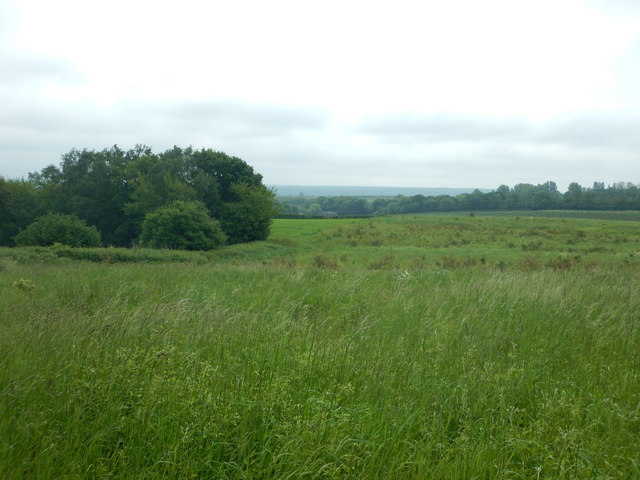
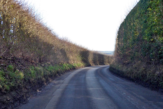
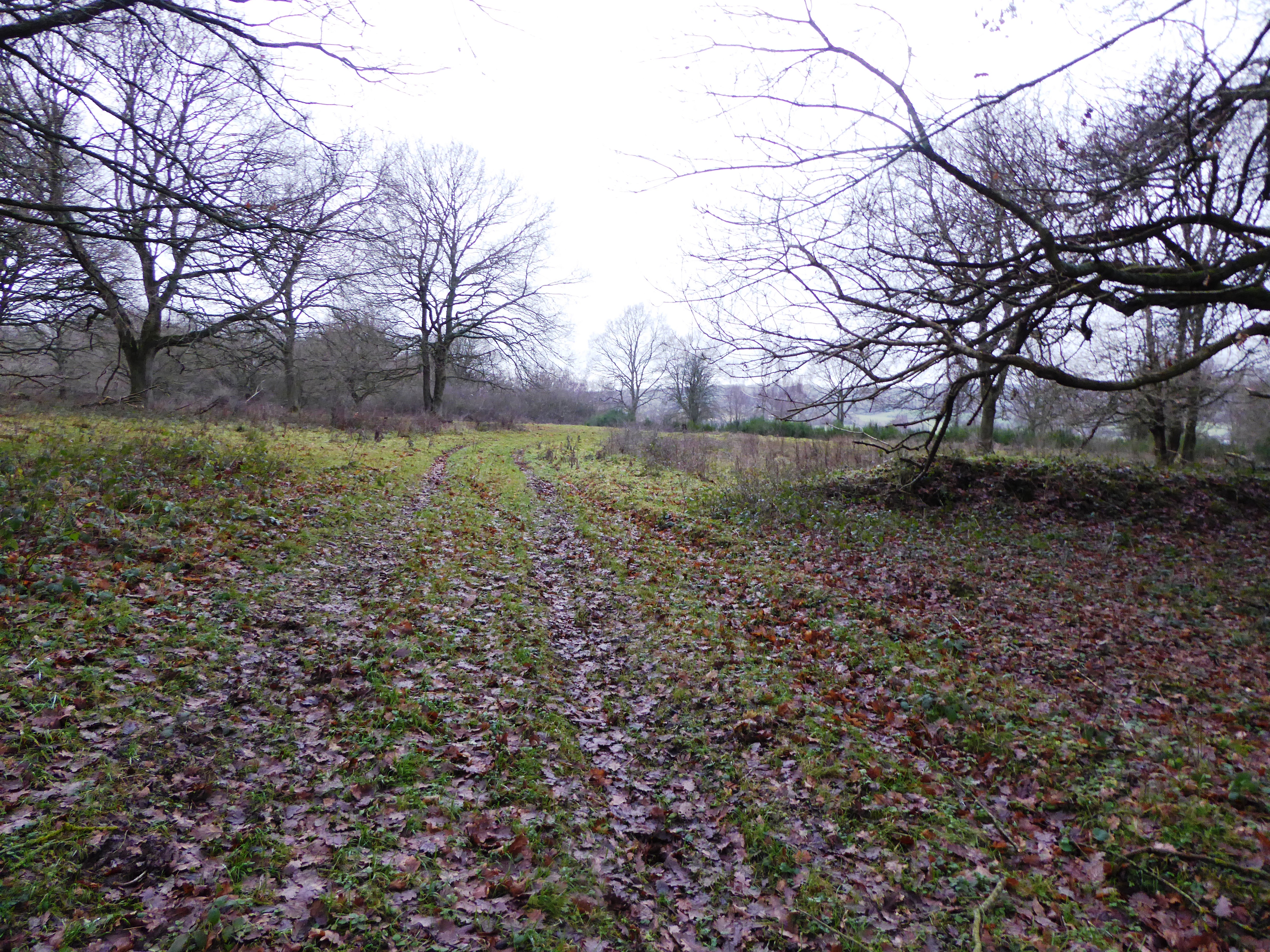
Joan Beech Wood is a small woodland located in the county of Kent, England. Situated within the larger forested area known as the Weald, Joan Beech Wood covers an area of approximately 20 acres (8 hectares) and is a designated Site of Special Scientific Interest (SSSI).
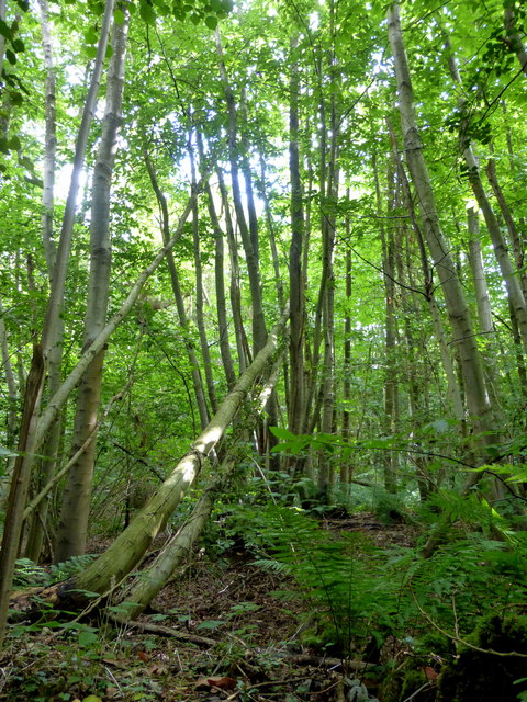
The woodland is primarily composed of beech trees, which dominate the landscape and give the wood its name. These majestic trees create a dense canopy that provides shade and shelter for a diverse range of flora and fauna. The forest floor is covered in a thick carpet of leaf litter, supporting a variety of woodland plants such as bluebells, wood anemones, and wild garlic.
Joan Beech Wood is a haven for wildlife, acting as a habitat for numerous bird species, including woodpeckers, nuthatches, and tawny owls. Mammals such as deer, foxes, and badgers also call the woodland home, taking advantage of the abundant food sources and sheltered environment.
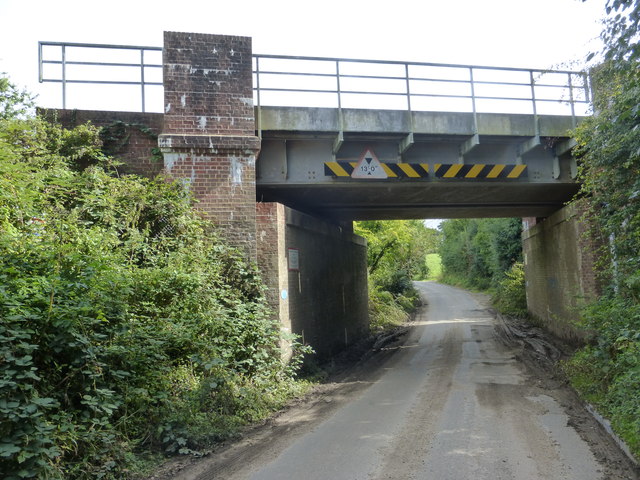
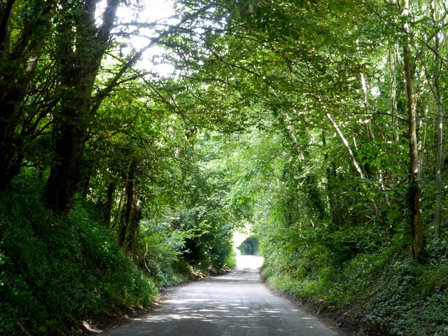
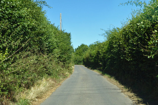
The wood is a popular destination for nature enthusiasts and hikers, offering peaceful walking trails that wind through the trees and provide glimpses of the surrounding countryside. Visitors can enjoy the tranquil atmosphere, observing the seasonal changes in the wood and listening to the symphony of bird songs.
Managed by a local conservation group, Joan Beech Wood is carefully preserved to maintain its natural beauty and ecological value. The woodland serves as a reminder of the rich biodiversity that can be found in the English countryside and highlights the importance of preserving and protecting such habitats.
If you have any feedback on the listing, please let us know in the comments section below.
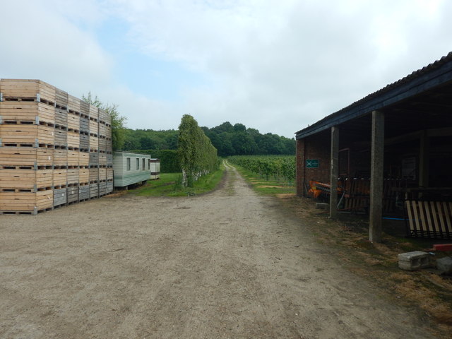
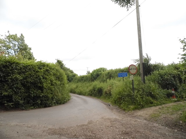
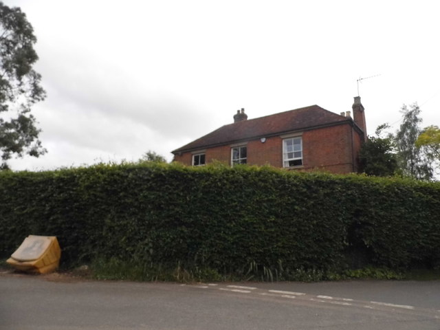
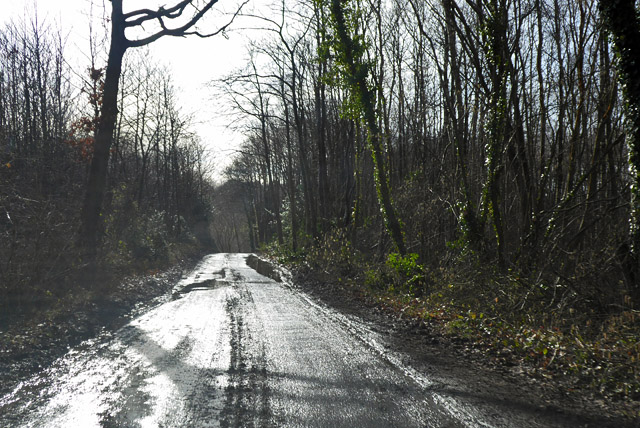
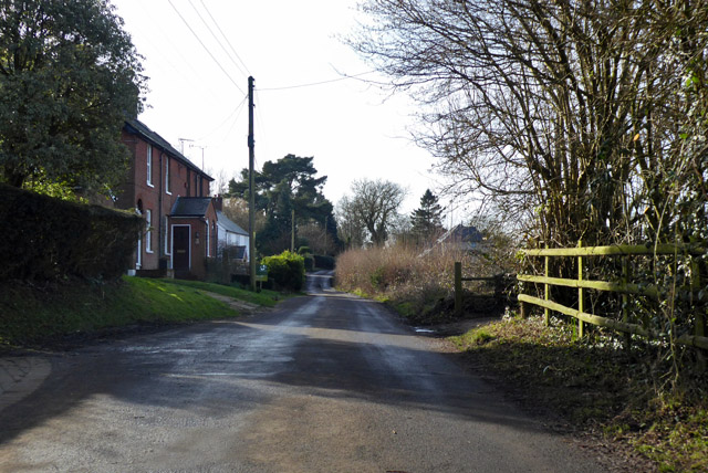
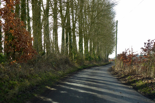
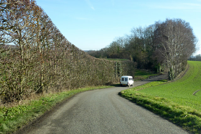
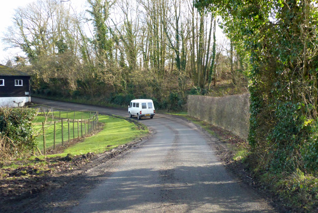
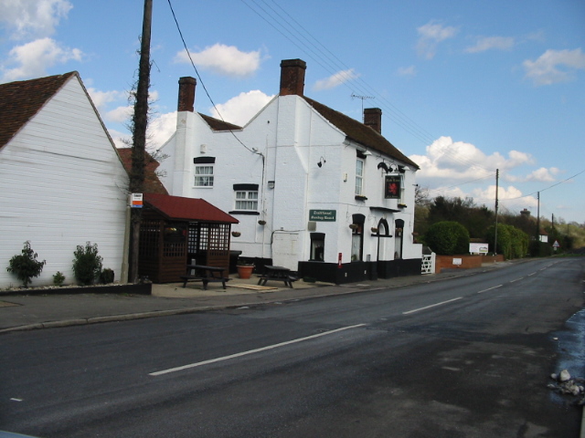
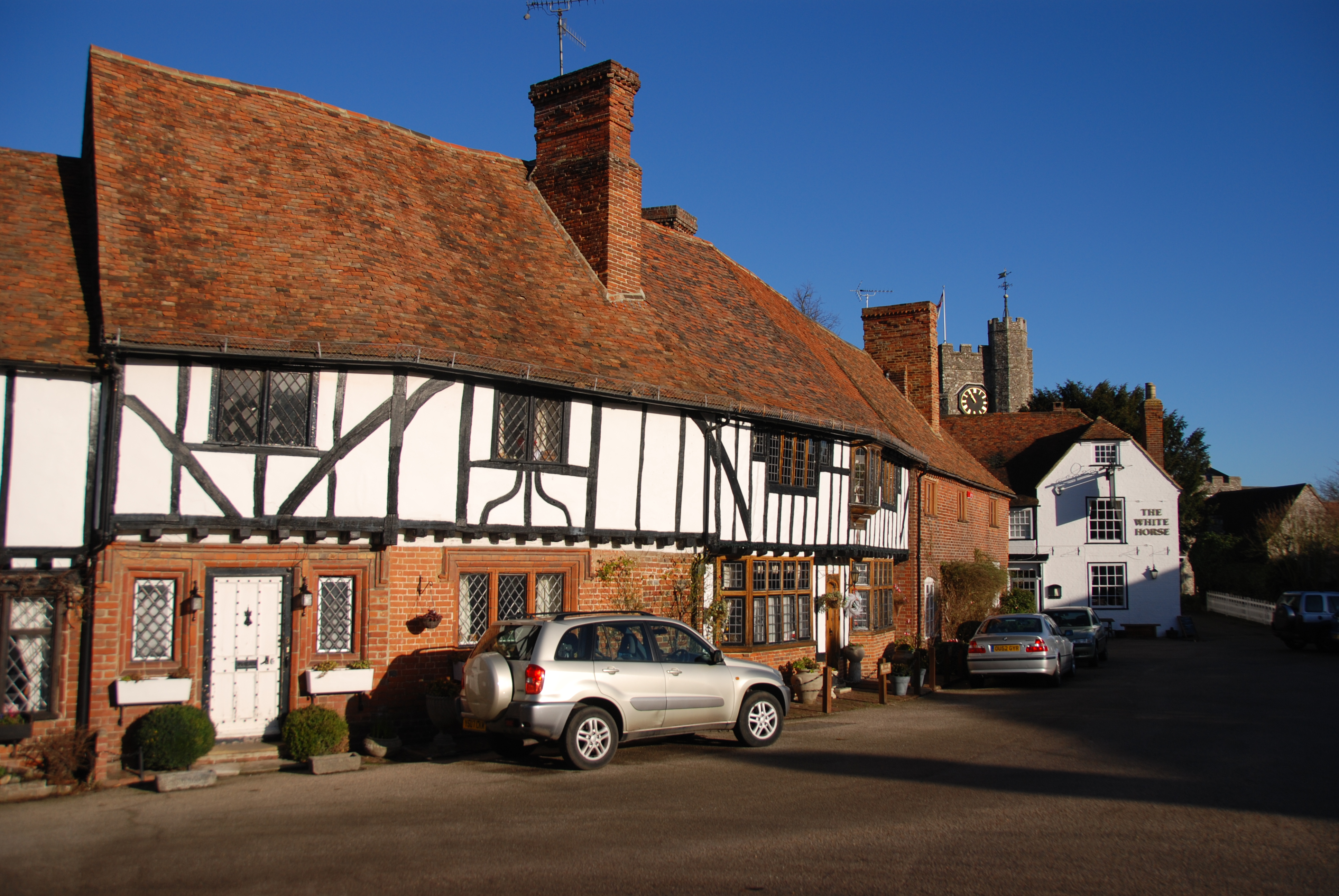
Joan Beech Wood Images
Images are sourced within 2km of 51.271978/0.97207237 or Grid Reference TR0756. Thanks to Geograph Open Source API. All images are credited.


Joan Beech Wood is located at Grid Ref: TR0756 (Lat: 51.271978, Lng: 0.97207237)
Administrative County: Kent
District: Swale
Police Authority: Kent
What 3 Words
///shares.instructs.digests. Near Chartham, Kent
Nearby Locations
Related Wikis

Oversland
Oversland is a settlement in the Swale district of Kent, England. It is located about 1 mile (1.6 km) to the west of Selling and is situated near Selling...

South Blean
South Blean is a 329-hectare (810-acre) nature reserve near Chartham Hatch, west of Canterbury in Kent. It is owned and managed by the Kent Wildlife Trust...

Boughton under Blean
Boughton under Blean is a village and civil parish between Faversham and Canterbury in south-east England. "Boughton under Blean" technically refers only...

Selling railway station
Selling railway station is on the Dover branch of the Chatham Main Line in England, serving the village of Selling, Kent. It is 55 miles 18 chains (88...
Dunkirk, Kent
Dunkirk is a village and civil parish between Faversham and Canterbury in southeast England. It lies on the Canterbury Road between Boughton under Blean...

Chilham railway station
Chilham railway station is a railway station in Chilham, Kent. It is on the Ashford to Ramsgate line between Ashford International and Canterbury West...
Broadham Down
Broadham Down is a 16-hectare (40-acre) nature reserve east of Chilham and west of Canterbury in Kent. It is managed by the Kent Wildlife Trust.This nature...
Chilham
Chilham is a mostly agricultural village and parish in the English county of Kent with a clustered settlement, Chilham village centre, in the northeast...
Have you been to Joan Beech Wood?
Leave your review of Joan Beech Wood below (or comments, questions and feedback).