Four Ashes
Settlement in Staffordshire South Staffordshire
England
Four Ashes
Four Ashes is a small village located in the county of Staffordshire, England. Situated approximately 5 miles east of Wolverhampton, the village is nestled amidst picturesque countryside and offers a peaceful and idyllic setting for its residents.
The origins of Four Ashes can be traced back to the 19th century when it primarily served as an agricultural community. Over the years, the village has undergone gradual development and now features a mix of residential properties, small businesses, and farmland.
Despite its relatively small size, Four Ashes benefits from its proximity to major transport routes. The village is conveniently located near the A449 road, providing easy access to nearby towns and cities. Additionally, Four Ashes Railway Station offers regular train services to Wolverhampton and Birmingham, making it an attractive location for commuters.
In terms of amenities, Four Ashes offers a range of facilities to cater to the needs of its residents. These include a local convenience store, a post office, and a few small independent businesses. For recreational purposes, the village boasts several green spaces and a local park, providing opportunities for outdoor activities and leisurely walks.
Overall, Four Ashes is a charming village that retains its rural character while offering convenient access to nearby urban centers. Its tranquil surroundings, combined with its excellent transport links, make it an appealing place to live for those seeking a balance between countryside living and accessibility to amenities.
If you have any feedback on the listing, please let us know in the comments section below.
Four Ashes Images
Images are sourced within 2km of 52.67354/-2.1219523 or Grid Reference SJ9108. Thanks to Geograph Open Source API. All images are credited.


Four Ashes is located at Grid Ref: SJ9108 (Lat: 52.67354, Lng: -2.1219523)
Administrative County: Staffordshire
District: South Staffordshire
Police Authority: Staffordshire
What 3 Words
///stressed.amending.salt. Near Coven, Staffordshire
Nearby Locations
Related Wikis
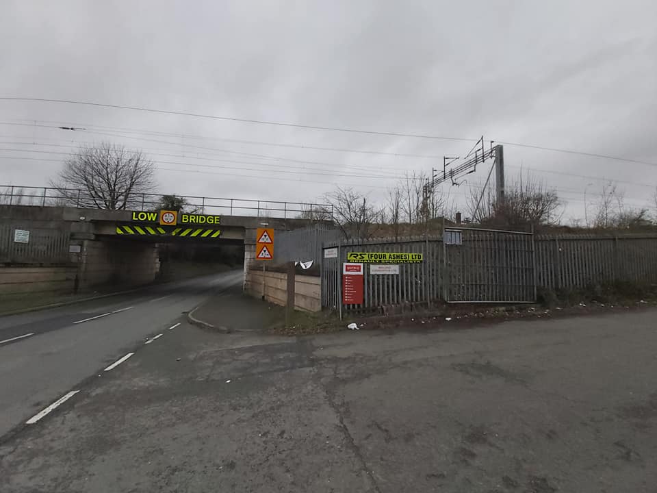
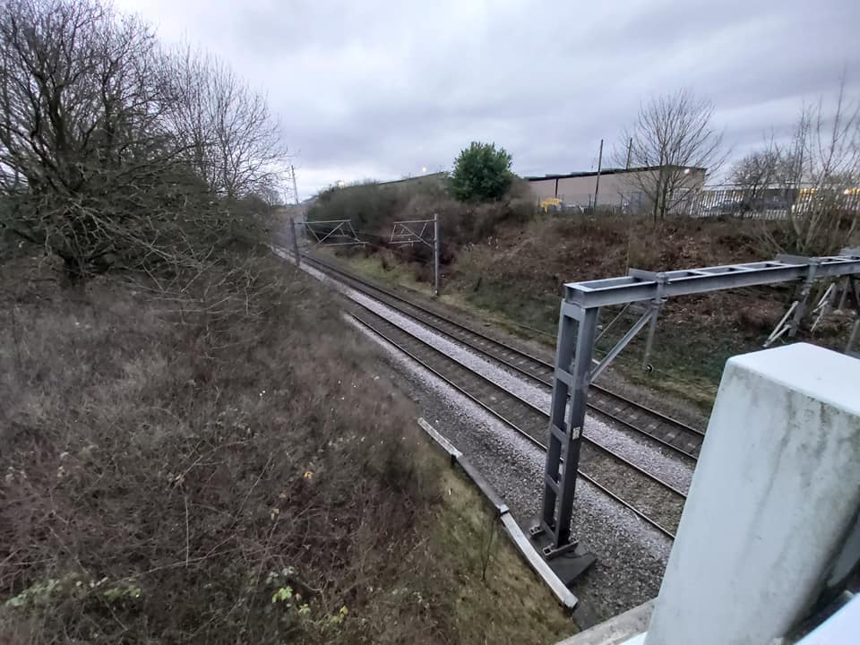
Four Ashes railway station
Four Ashes railway station was a railway station built by the Grand Junction Railway in 1837.: 28 It served the small village of Four Ashes, Staffordshire...

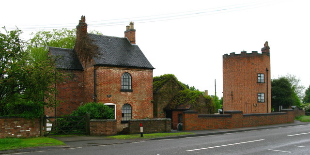
Four Ashes, Staffordshire
Four Ashes is a village in the district of South Staffordshire in Staffordshire, England, located about 4 miles (6.4 km) west of Cannock, 7 miles (11 km...

Somerford Hall
Somerford Hall is an 18th-century Palladian style mansion house at Brewood, Staffordshire. It is a Grade II* listed building. Somerford is a name of Old...

St Paul's Church, Coven
St Paul's Church, Coven is a Grade II listed parish church in the Church of England in Coven, Staffordshire == History == The church was built in 1857...
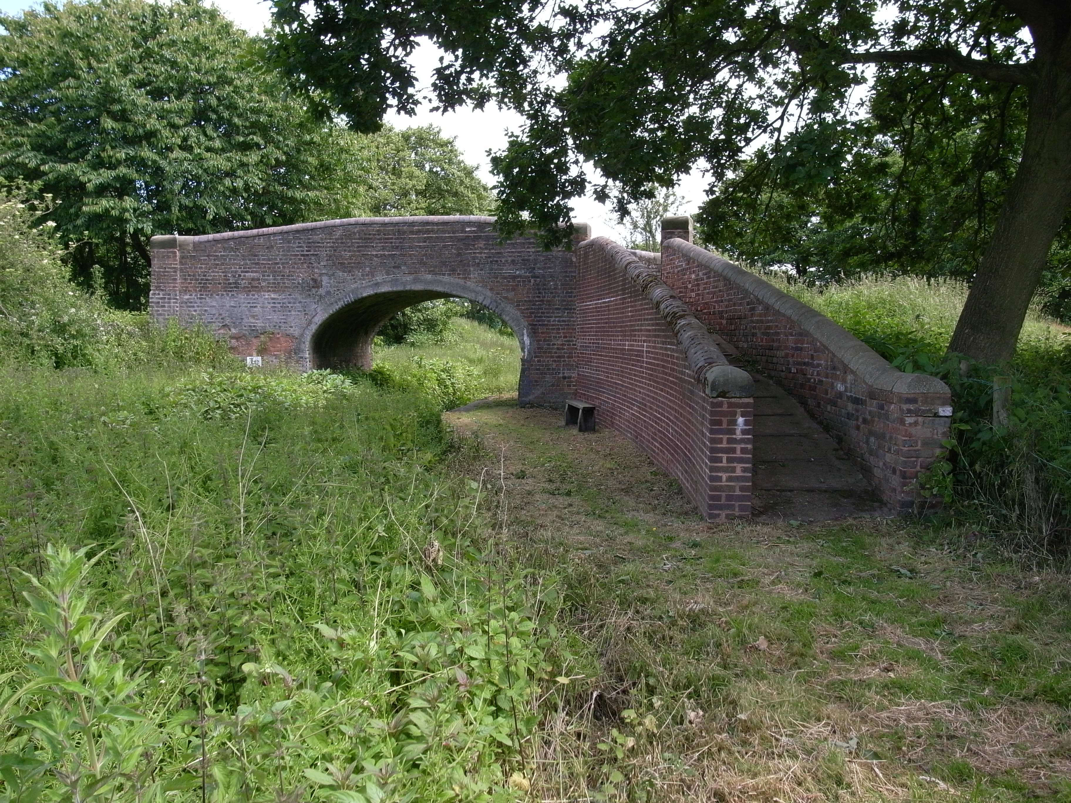
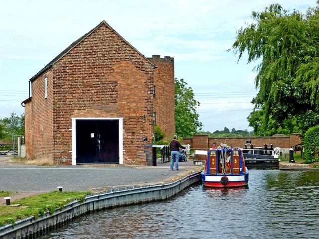
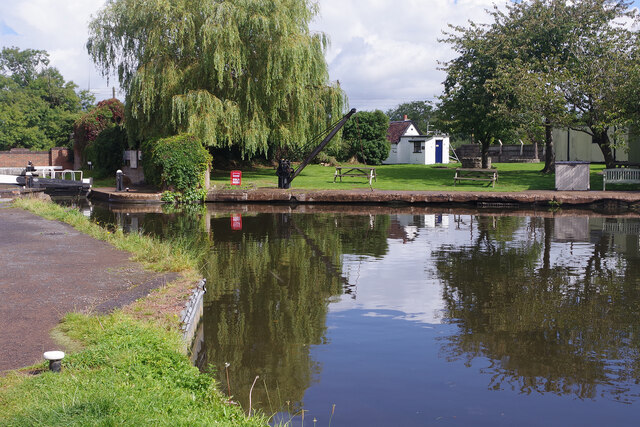
Hatherton Canal
The Hatherton Canal is a derelict branch of the Staffordshire and Worcestershire Canal in south Staffordshire, England. It was constructed in two phases...
Gailey railway station
Gailey railway station was a railway station built by the Grand Junction Railway in 1837.: 29 It served the small village of Gailey, Staffordshire, 7...

Cannock Rural District
Cannock was a rural district in Staffordshire, England from 1894 to 1974. It was created by the Local Government Act 1894, based on the Cannock rural sanitary...
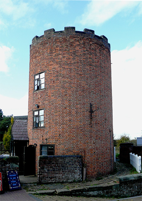
Gailey, Staffordshire
Gailey is a small village in Staffordshire, England. It is at the junction of the A5 and A449 roads, and is on the boundary of the parishes of Brewood...
Nearby Amenities
Located within 500m of 52.67354,-2.1219523Have you been to Four Ashes?
Leave your review of Four Ashes below (or comments, questions and feedback).