Fountainhall
Settlement in Midlothian
Scotland
Fountainhall
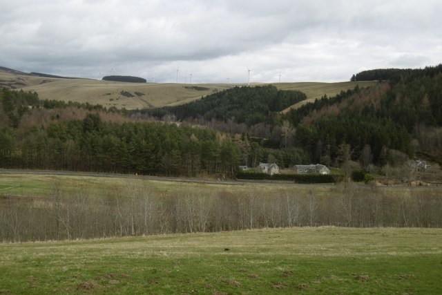
Fountainhall is a small rural village located in Midlothian, Scotland. Situated approximately 19 miles southeast of Edinburgh, it rests in the beautiful rolling hills and lush green countryside of the Scottish Borders. With a population of around 200 residents, it offers a peaceful and close-knit community atmosphere.
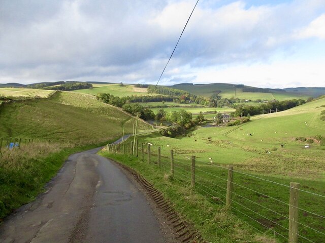
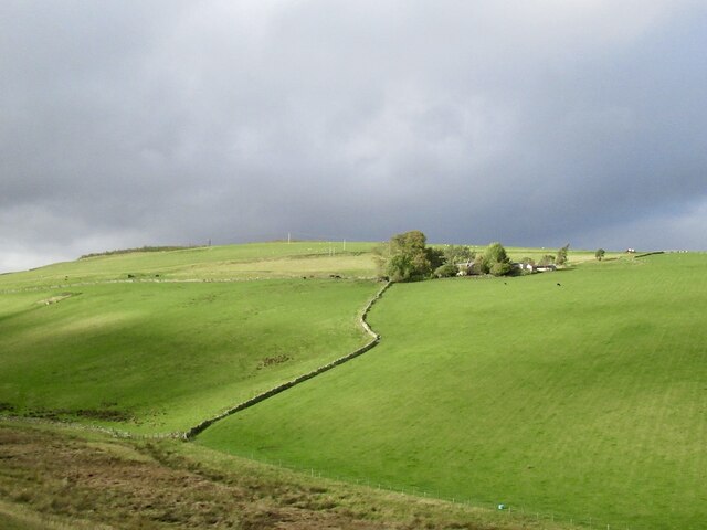
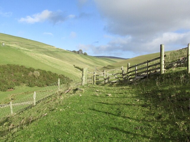
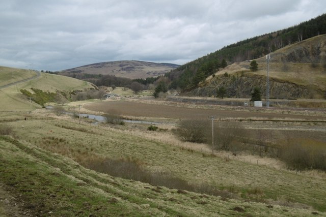
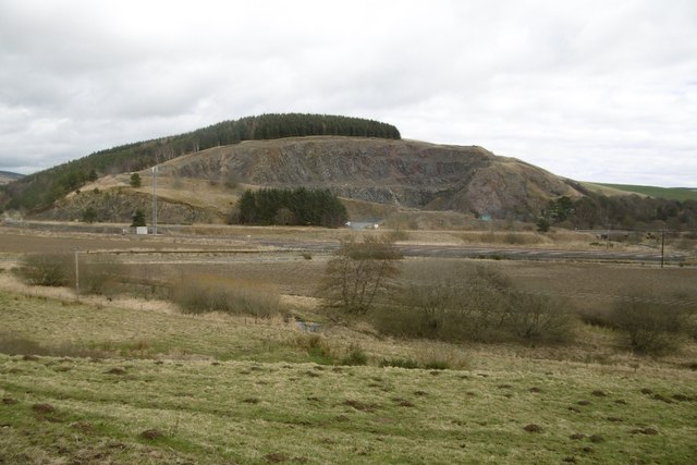
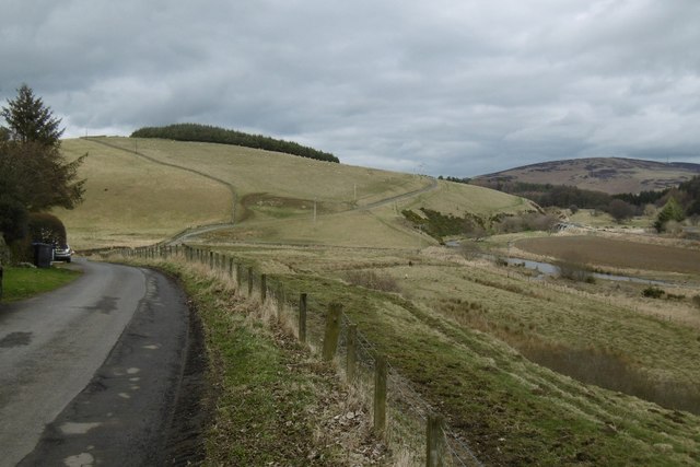
The village takes its name from a nearby spring and was historically known for its mineral-rich water, believed to have healing properties. Although the spring is no longer in use, its legacy is still evident in the village's name. Fountainhall is renowned for its picturesque setting, surrounded by stunning landscapes that attract visitors seeking tranquility and natural beauty.
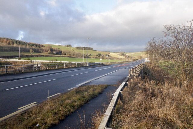
Despite its small size, Fountainhall boasts a few amenities that cater to the needs of its residents, including a village hall, a primary school, and a church. Additionally, it benefits from excellent transportation links, with regular bus services connecting it to nearby towns and cities.
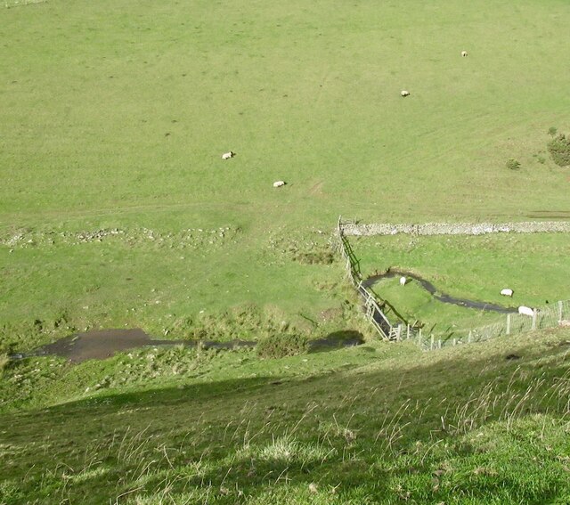
The village is a haven for outdoor enthusiasts, offering a plethora of walking and cycling trails that showcase the area's scenic splendor. Locals and visitors alike can explore the nearby Moorfoot Hills, where they will find an abundance of wildlife and breathtaking views.
Fountainhall's charm lies in its idyllic rural setting, providing an escape from the hustle and bustle of city life. Its close proximity to Edinburgh allows residents to enjoy the benefits of both country and city living, making it an appealing place to call home.
If you have any feedback on the listing, please let us know in the comments section below.
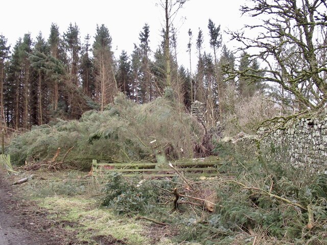
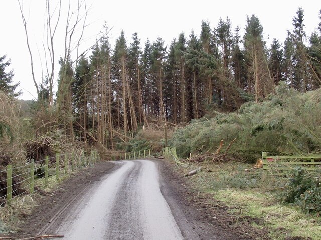
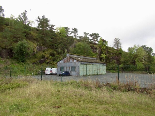
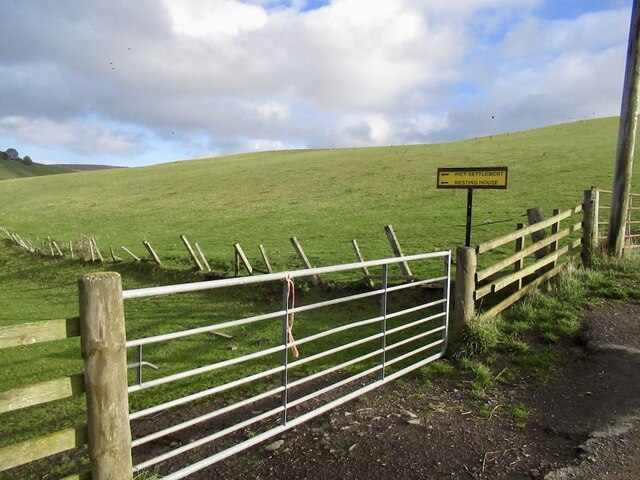
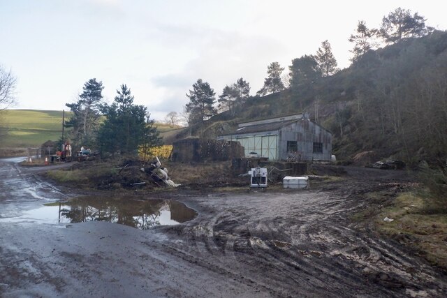
Fountainhall Images
Images are sourced within 2km of 55.733658/-2.9088716 or Grid Reference NT4349. Thanks to Geograph Open Source API. All images are credited.

Fountainhall is located at Grid Ref: NT4349 (Lat: 55.733658, Lng: -2.9088716)
Unitary Authority: The Scottish Borders
Police Authority: The Lothians and Scottish Borders
What 3 Words
///talked.customers.clutter. Near Lauder, Scottish Borders
Nearby Locations
Related Wikis

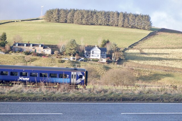
Fountainhall railway station
Fountainhall railway station served the village of Fountainhall, Scottish Borders from 1848 to 1969 on the Waverley Route. == History == The station opened...

Allanshaugh
Allanshaugh is a fermtoun in the Scottish Borders area of Scotland. == See also == List of places in the Scottish Borders List of places in Scotland...
Halltree
Halltree is a hamlet in the Scottish Borders. == Etymology == The etymology of Halltree is debated, but the second element is likely to be a Cumbric word...

Heriot, Scottish Borders
Heriot is a small village in the Moorfoot Hills southeast of Edinburgh, Scotland, within Eildon (part of the Scottish Borders council area, though historically...
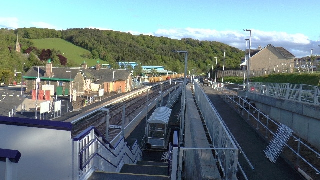
Stow railway station
Stow is a railway station on the Borders Railway, which runs between Edinburgh Waverley and Tweedbank. The station, situated 26 miles 45 chains (43 km...

Stow of Wedale
Stow of Wedale, or more often Stow, is a village in the Scottish Borders area of Scotland (historically Midlothian), 7 miles (11 kilometres) north of...

Stow of Wedale Town Hall
Stow of Wedale Town Hall is a municipal building in Earlston Road, Stow of Wedale, Scottish Borders, Scotland. The structure, which serves as a community...

Borders Railway
The Borders Railway connects the city of Edinburgh with Galashiels and Tweedbank in the Scottish Borders. The railway follows most of the alignment of...
Nearby Amenities
Located within 500m of 55.733658,-2.9088716Have you been to Fountainhall?
Leave your review of Fountainhall below (or comments, questions and feedback).