Monck's Wood
Wood, Forest in Norfolk South Norfolk
England
Monck's Wood
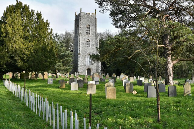
Monck's Wood is a picturesque forest located in the county of Norfolk, England. Covering an area of approximately 100 acres, it is nestled within the breathtaking countryside and offers a tranquil retreat for nature enthusiasts and outdoor adventurers alike.
The wood is characterized by its dense canopy of mature trees, predominantly consisting of oak, beech, and birch species. These towering trees create a cool and shaded environment, providing a welcome respite from the summer heat. The forest floor is carpeted with a diverse range of flora, including bluebells, wild garlic, and ferns, adding to the area's natural beauty.
Monck's Wood is home to a rich array of wildlife, making it a haven for animal lovers. Squirrels can be spotted scurrying among the branches, while deer occasionally emerge from the undergrowth, their graceful presence adding to the wood's allure. Birdwatchers will delight in the various species that inhabit the forest, including woodpeckers, owls, and songbirds.
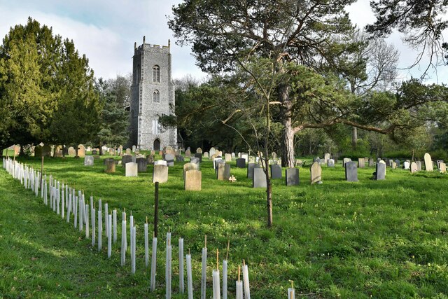
The wood offers a network of well-maintained walking trails, allowing visitors to explore its enchanting scenery. These paths wind through the forest, leading to secluded clearings and viewpoints, where one can appreciate the stunning vistas and listen to the soothing sounds of nature. The wood is also intersected by a meandering stream, further enhancing its tranquility.
Monck's Wood is a popular destination for outdoor activities such as hiking, picnicking, and photography. It provides an escape from the hustle and bustle of everyday life, allowing visitors to immerse themselves in the beauty of nature. Whether seeking solitude or a family day out, Monck's Wood offers a serene and idyllic retreat for all to enjoy.
If you have any feedback on the listing, please let us know in the comments section below.
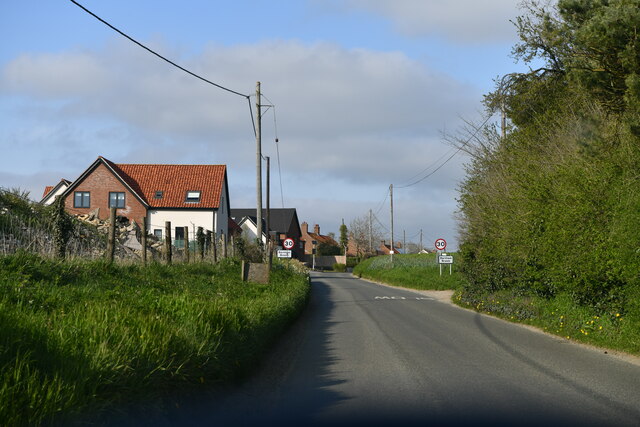
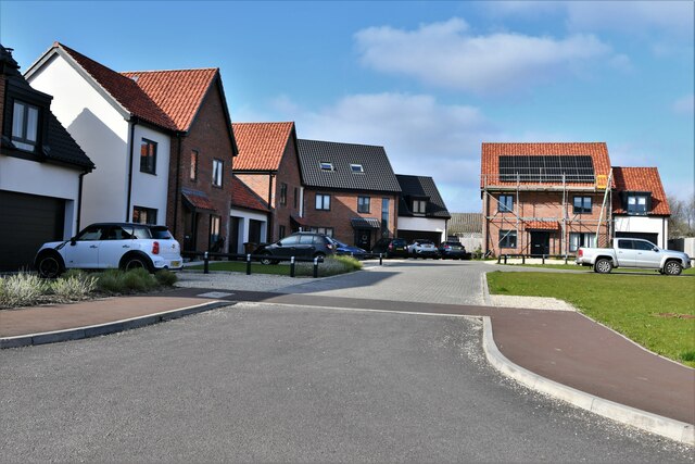
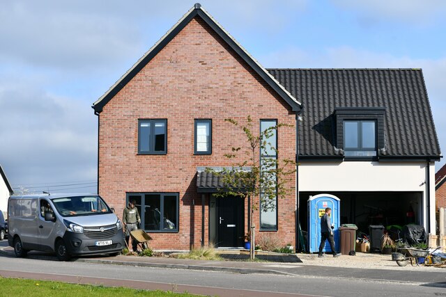
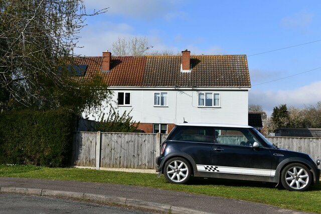
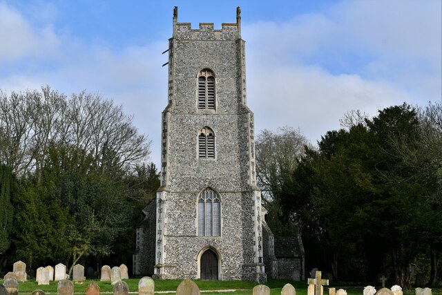
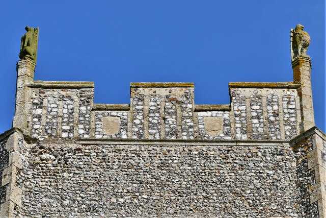
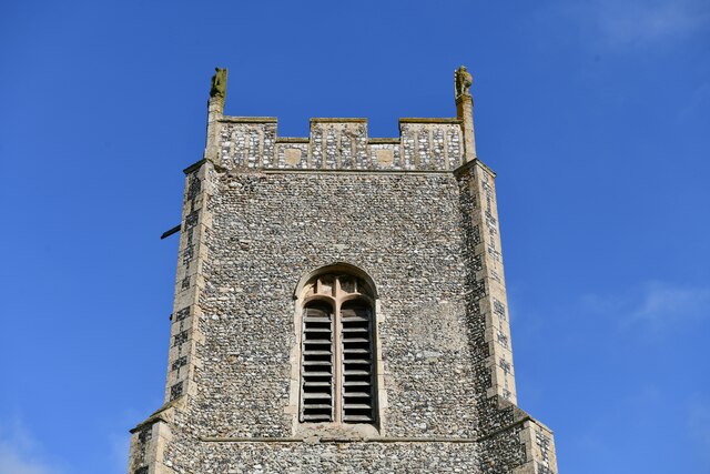
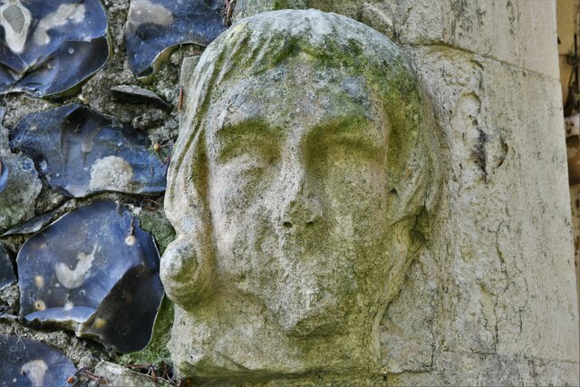
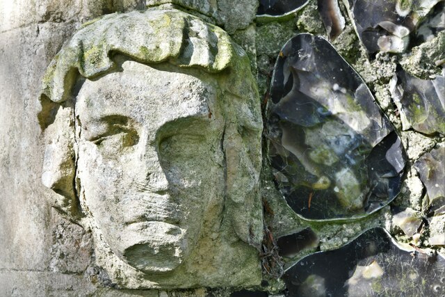
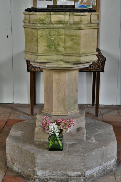
Monck's Wood Images
Images are sourced within 2km of 52.62821/1.0521261 or Grid Reference TG0607. Thanks to Geograph Open Source API. All images are credited.


Monck's Wood is located at Grid Ref: TG0607 (Lat: 52.62821, Lng: 1.0521261)
Administrative County: Norfolk
District: South Norfolk
Police Authority: Norfolk
What 3 Words
///directly.galloping.lately. Near Mattishall, Norfolk
Nearby Locations
Related Wikis
Brandon Parva
Brandon Parva is a village and former civil parish, now in the parish of Brandon Parva, Coston, Runhall and Welborne, in the South Norfolk district, in...

Coston Fen, Runhall
Coston Fen, Runhall is a 7.1-hectare (18-acre) biological Site of Special Scientific Interest between Dereham and Wymondham in Norfolk. It is part of the...

Barnham Broom
Barnham Broom is a village and civil parish in the English county of Norfolk. The village is situated on the River Yare, 9 miles (15 km) West of Norwich...

Runhall
Runhall is a village and former civil parish, now in the parish of Brandon Parva, Coston, Runhall and Welborne, in the South Norfolk district, in Norfolk...
St Michael's Church, Coston
St Michael's Church is a redundant Anglican church in the hamlet of Coston, in the civil parish of Runhall, Norfolk, England. It is recorded in the National...
Welborne
Welborne is a village and former civil parish, now in the parish of Brandon Parva, Coston, Runhall and Welborne, in the South Norfolk district, in the...
Hardingham railway station
Hardingham railway station is a railway station in the village of Hardingham in the English county of Norfolk. The station is periodically served by heritage...

Wymondham to Wells Branch
The Wymondham to Wells Branch was a railway built in stages by the Norfolk Railway, Eastern Counties Railway and Wells and Fakenham Company between 1847...
Nearby Amenities
Located within 500m of 52.62821,1.0521261Have you been to Monck's Wood?
Leave your review of Monck's Wood below (or comments, questions and feedback).