Ash Covert

Wood, Forest in Suffolk Mid Suffolk

England

Ash Covert

St Mary's Church, Battisford The church is mainly 13th century but the tower fell shortly after the Reformation: <span class="nowrap"><a title="http://www.suffolkchurches.co.uk/battisford.htm" rel="nofollow ugc noopener" href="http://www.suffolkchurches.co.uk/battisford.htm">Link</a><img style="margin-left:2px;" alt="External link" title="External link - shift click to open in new window" src="https://s1.geograph.org.uk/img/external.png" width="10" height="10"/></span>
St Mary's Church, Battisford Credit: Chris Holifield

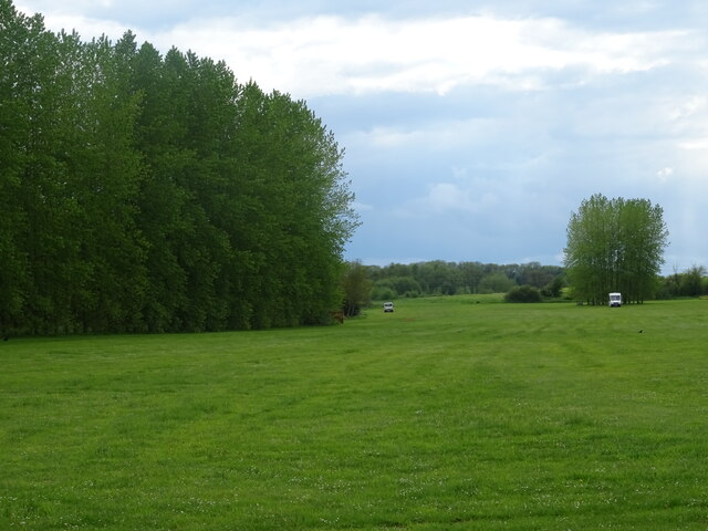
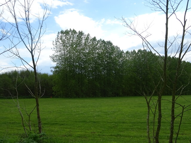
Ash Covert is a picturesque woodland area located in Suffolk, England. Situated near the village of Ashfield cum Thorpe, it is known for its abundant ash trees and dense forest cover, which provide a serene and tranquil environment for nature enthusiasts and hikers alike.

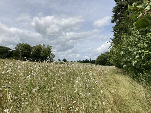
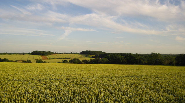
The woodlands of Ash Covert are primarily composed of ash trees, which give the area its name. These trees, with their distinctive slender trunks and graceful canopies, create a stunning landscape throughout the year. The forest floor is carpeted with a variety of lush vegetation, including ferns, wildflowers, and mosses, adding to the overall beauty of the woodland.

The forest is home to a diverse range of wildlife, making it a popular spot for birdwatchers and nature photographers. Visitors may catch a glimpse of various bird species such as woodpeckers, owls, and tree creepers, as well as small mammals like squirrels and rabbits. The woodland is also inhabited by deer, which can often be spotted grazing peacefully in the early morning or evening hours.

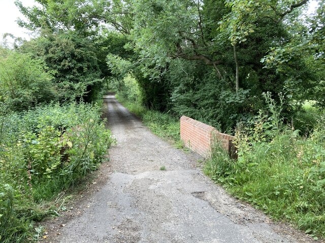
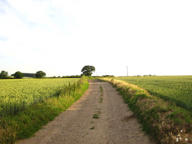
Ash Covert offers several well-maintained walking trails, allowing visitors to explore the woodland and enjoy its natural wonders. These paths wind through the forest, offering glimpses of sunlight filtering through the tree canopy and creating a magical atmosphere. The tranquil ambiance and breathtaking scenery make Ash Covert a haven for those seeking solace in nature.

Overall, Ash Covert in Suffolk is a stunning woodland area, characterized by its abundant ash trees, diverse wildlife, and serene atmosphere. It offers a perfect escape from the hustle and bustle of everyday life, allowing visitors to immerse themselves in the beauty of nature.

If you have any feedback on the listing, please let us know in the comments section below.
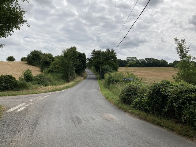
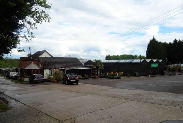
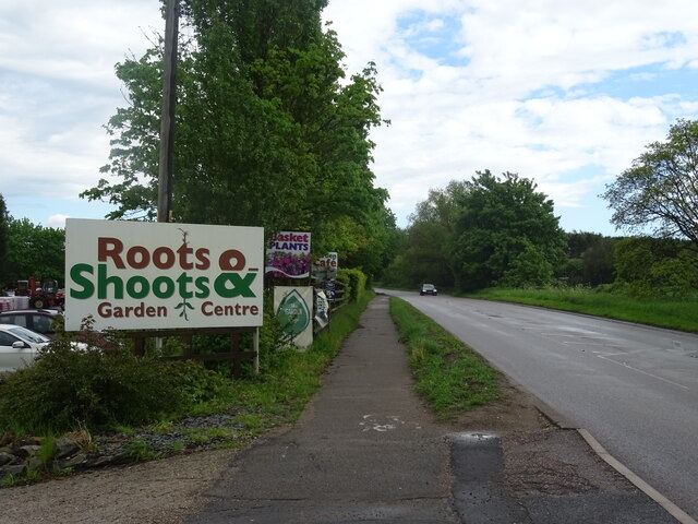
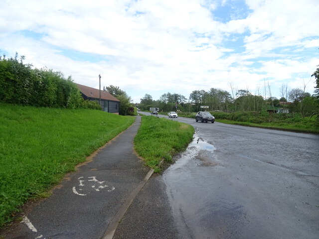
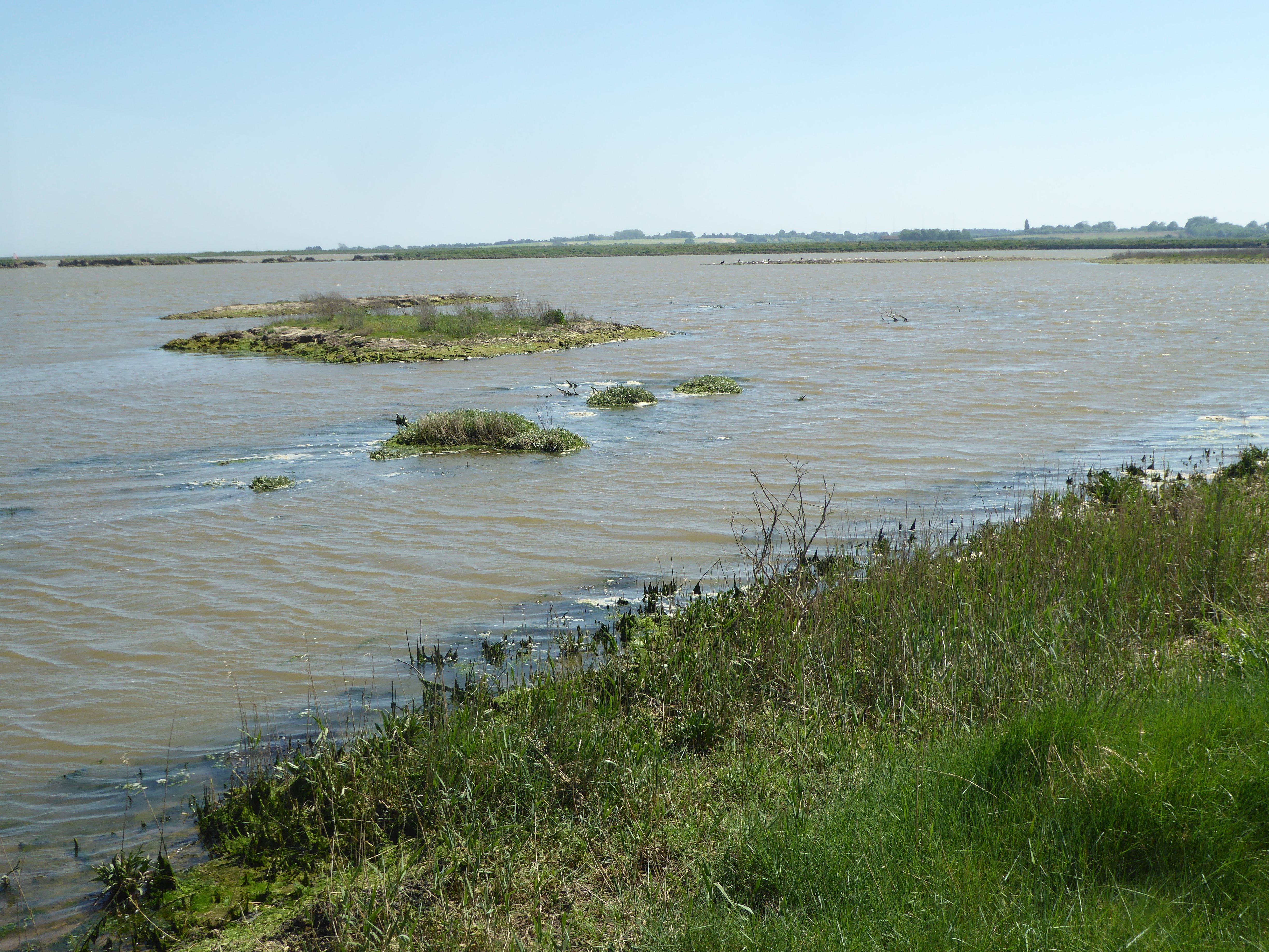
Ash Covert Images

Images are sourced within 2km of 52.157738/1.0197873 or Grid Reference TM0655. Thanks to Geograph Open Source API. All images are credited.

St Mary's Church, Battisford The church is mainly 13th century but the tower fell shortly after the Reformation: <span class="nowrap"><a title="http://www.suffolkchurches.co.uk/battisford.htm" rel="nofollow ugc noopener" href="http://www.suffolkchurches.co.uk/battisford.htm">Link</a><img style="margin-left:2px;" alt="External link" title="External link - shift click to open in new window" src="https://s1.geograph.org.uk/img/external.png" width="10" height="10"/></span>
St Mary's Church, Battisford
The church is mainly 13th century but the tower fell shortly after the Reformation: LinkExternal link
Battisford Hall
Battisford Hall
Vale Farm
Vale Farm
Bridge over the stream near Vale Farm
Hascot Hill, Battisford
Wildflowers on the footpath near Vale Farm
Garage on Stowmarket Road (B1113)
Stowmarket Road (B1113) Towards Needham Market.
Stowmarket Road (B1113)
Towards Needham Market.
Garden centre on Stowmarket Road (B1113)
Stowmarket Road (B1113) Towards Needham Market.
Stowmarket Road (B1113)
Towards Needham Market.
Grazing, Badley Bridge
Grazing and woodland, Badley Bridge
Stowmarket Road (B1113) Towards Needham Market.
Stowmarket Road (B1113)
Towards Needham Market.
Bungalows on Stowmarket Road (B1113)
Stowmarket Road (B1113)
Power lines from the track to Badley Church
Track to Badley Church
Fields and woodland, Badley The view looking South from the track which leads to Badley Church
Fields and woodland, Badley
The view looking South from the track which leads to Badley Church
Show me another place!

Ash Covert is located at Grid Ref: TM0655 (Lat: 52.157738, Lng: 1.0197873)

Administrative County: Suffolk

District: Mid Suffolk

Police Authority: Suffolk

What 3 Words

///packet.aced.rumbles. Near Needham Market, Suffolk

Related Wikis

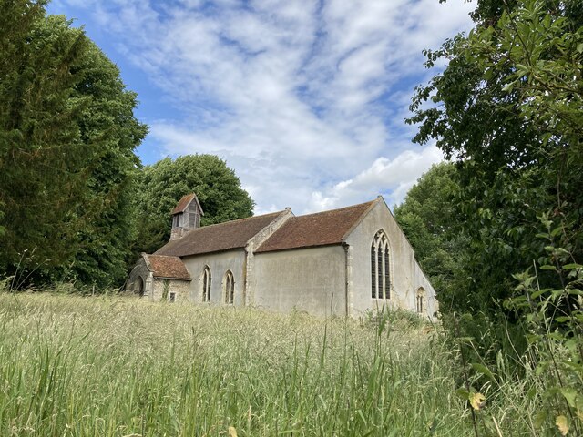
St Mary's Church, Badley

St Mary's Church is a redundant Anglican church in the village of Badley, Suffolk, England. It is recorded in the National Heritage List for England as...
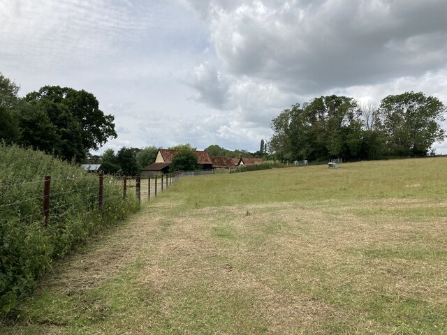
Badley

Badley is a village and civil parish in the Mid Suffolk district, in Suffolk, England. It is located between Stowmarket and Needham Market. With an electorate...

Battisford

Battisford is a village and civil parish in the Mid Suffolk district of Suffolk, England. The village is about 4 miles (6 km) south of Stowmarket, and...

Suffolk Wildlife Trust

Suffolk Wildlife Trust (SWT) describes itself as the county's "nature charity – the only organisation dedicated wholly to safeguarding Suffolk's wildlife...

Nearby Amenities

Located within 500m of 52.157738,1.0197873
Power: tower
Lat/Long: 52.1599346/1.018252
Power: tower
Lat/Long: 52.1604286/1.0171829
Power: tower
Lat/Long: 52.1544184/1.0172013
Power: tower
Lat/Long: 52.1549854/1.018731
Power: pole
Lat/Long: 52.1612378/1.0196659
Power: pole
Lat/Long: 52.1588207/1.0194406
Power: pole
Lat/Long: 52.1596171/1.0195157
Power: pole
Lat/Long: 52.1621132/1.0197463
Power: pole
Lat/Long: 52.1554786/1.019285
Power: pole
Lat/Long: 52.1580423/1.0193685
Power: pole
Lat/Long: 52.157193/1.0192898
Power: tower
Lat/Long: 52.1577761/1.0184609
Power: pole
Lat/Long: 52.156359/1.0192126
Power: pole
Lat/Long: 52.160409/1.019589
Power: pole
Lat/Long: 52.1546328/1.0193467
Power: pole
Lat/Long: 52.1537211/1.0194143
Power: tower
Lat/Long: 52.1573702/1.0171564
The data included in this document is from www.openstreetmap.org. The data is made available under ODbL.

Have you been to Ash Covert?

Leave your review of Ash Covert below (or comments, questions and feedback).