Lodge Plantation
Wood, Forest in Suffolk Babergh
England
Lodge Plantation

Lodge Plantation, located in Suffolk, England, is a charming woodland area known for its natural beauty and tranquil atmosphere. Situated in the heart of the countryside, this plantation is a haven for nature enthusiasts and those seeking a peaceful retreat.
Covering an expansive area, Lodge Plantation is characterized by its dense woodlands and thriving forest ecosystem. The plantation is home to a diverse range of tree species, including oak, birch, and beech, which provide a picturesque backdrop throughout the year. In the spring, the forest floor comes alive with a vibrant carpet of bluebells and other wildflowers, creating a stunning spectacle for visitors.
The plantation offers a variety of walking trails and footpaths, allowing visitors to explore the woodland at their own pace. These trails wind through the forest, offering glimpses of wildlife such as deer, foxes, and a plethora of bird species. The peaceful ambiance of the woodland, accompanied by the soothing sounds of birdsong and rustling leaves, provides the perfect setting for relaxation and contemplation.
Lodge Plantation also boasts a number of amenities to enhance visitors' experiences. There are picnic areas dotted throughout the woodland, providing an ideal spot for a leisurely outdoor meal. Additionally, the plantation offers guided nature walks and educational programs, allowing visitors to learn more about the area's flora and fauna.
Overall, Lodge Plantation in Suffolk is a serene and picturesque woodland, offering a welcome escape from the hustle and bustle of everyday life. Whether it's for a leisurely stroll, a picnic, or a chance to reconnect with nature, this plantation provides an idyllic setting for all.
If you have any feedback on the listing, please let us know in the comments section below.
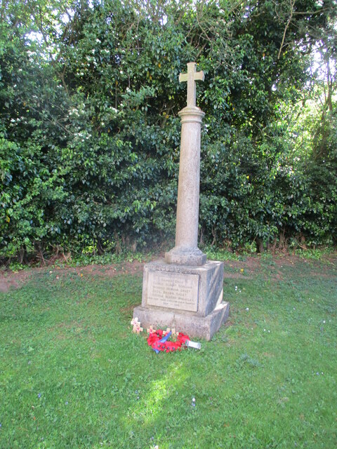
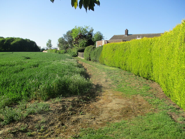
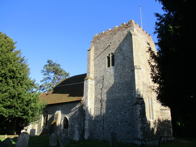
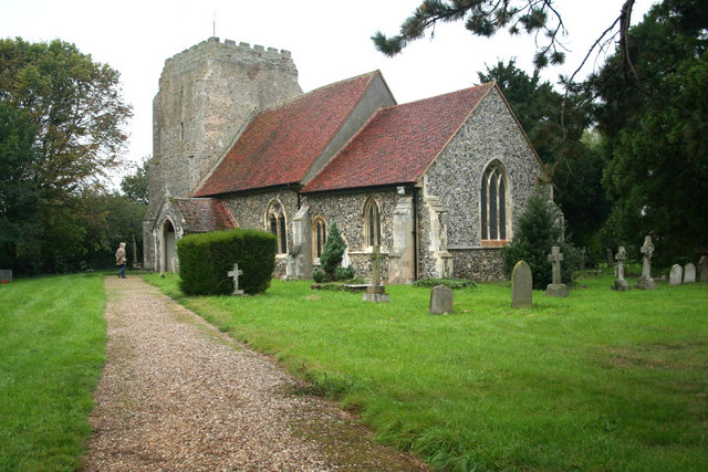
Lodge Plantation Images
Images are sourced within 2km of 51.979833/1.0019457 or Grid Reference TM0635. Thanks to Geograph Open Source API. All images are credited.


Lodge Plantation is located at Grid Ref: TM0635 (Lat: 51.979833, Lng: 1.0019457)
Administrative County: Suffolk
District: Babergh
Police Authority: Suffolk
What 3 Words
///impressed.soda.roaring. Near East Bergholt, Suffolk
Nearby Locations
Related Wikis

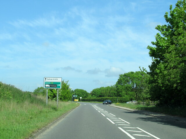
East Bergholt
East Bergholt is a village in the Babergh District of Suffolk, England, just north of the Essex border. The nearest town and railway station is Manningtree...
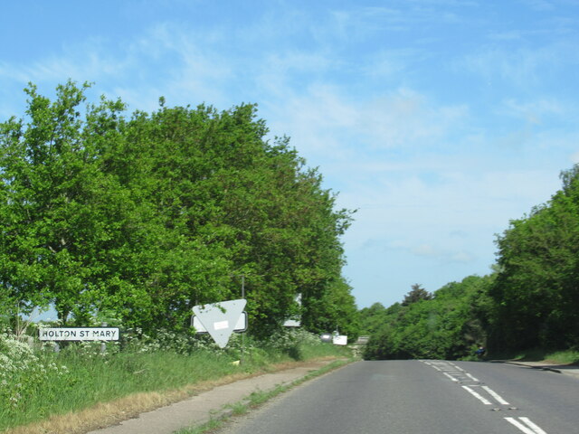
Holton St Mary
Holton St Mary is a village and civil parish in Suffolk, England. Located on the B1070 around five miles south-west of Ipswich and half a mile from the...

East Bergholt Abbey
East Bergholt Abbey was an abbey in Suffolk, England. It was built on land purchased in 1857 on the site of Old Hall manor. == History == === Old Hall... ===

East Bergholt High School
East Bergholt High School is a secondary school in East Bergholt, Suffolk, 11 miles (18 km) north of Colchester, Essex, and nine miles (14 km) south of...
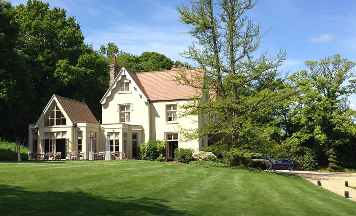
Maison Talbooth, Dedham
Maison Talbooth, Dedham in Essex is a building of historical significance. The construction was started in 1846 and completed by 1850. The architect was...
Dedham, Essex
Dedham is a village in the City of Colchester district of Essex, England. It is near the River Stour, which is the border of Essex and Suffolk. The nearest...

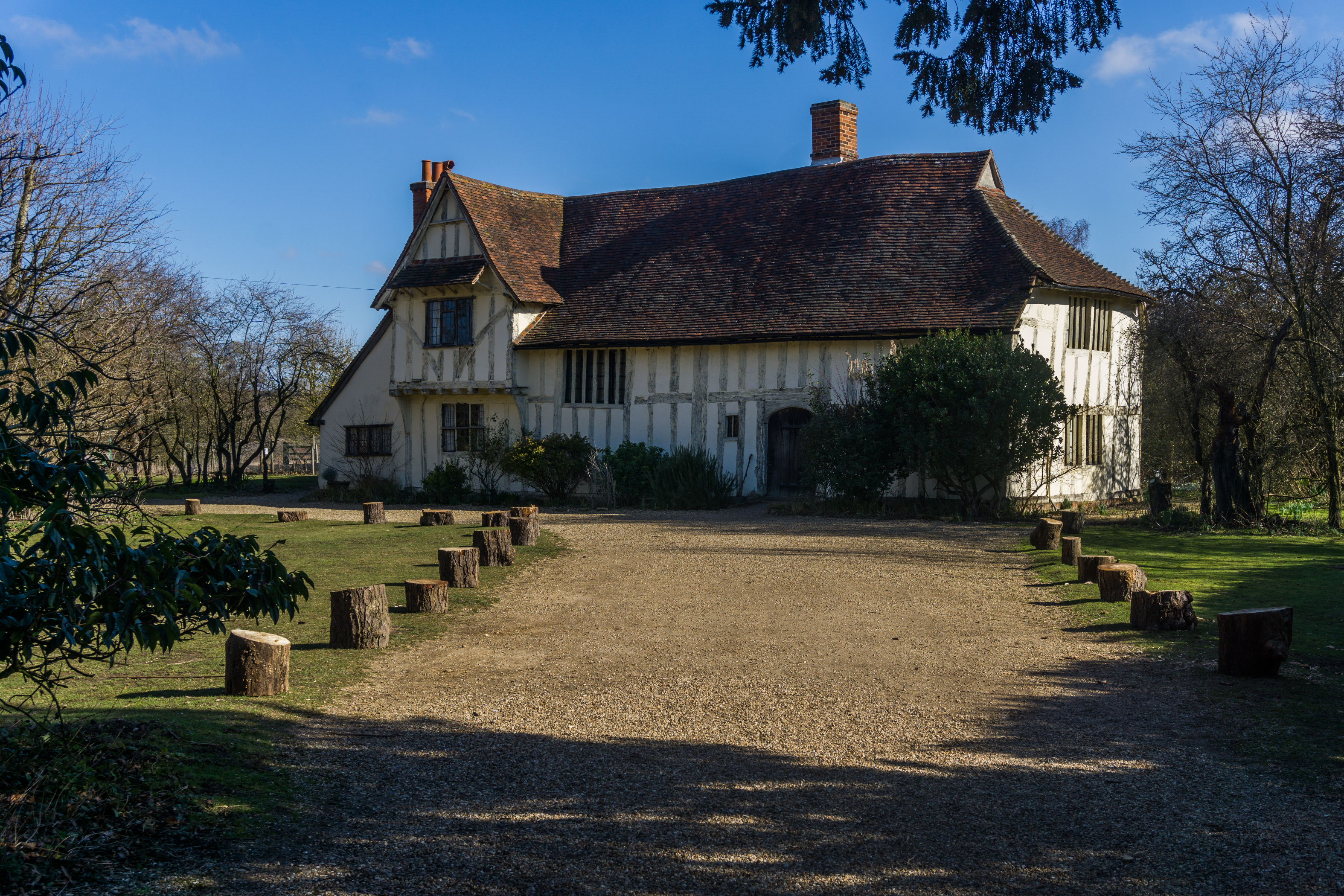
Bridge Cottage
Bridge Cottage is a 16th-century thatched cottage in Flatford, East Bergholt, Suffolk, England. It has been a National Trust property since 1943 and a...
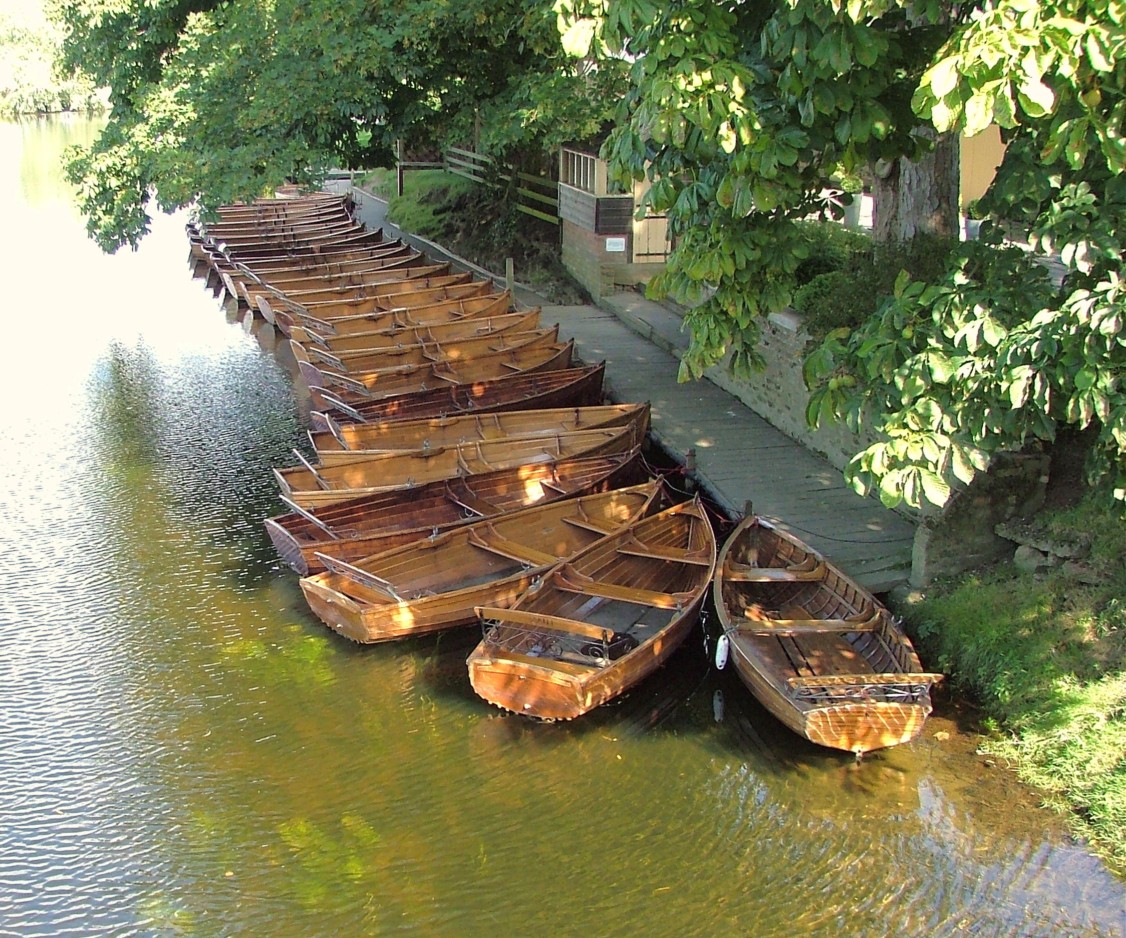
Flatford
Flatford is a small hamlet in the civil parish of East Bergholt, in the Babergh district, in the county of Suffolk, England. It is most famous for Flatford...
Nearby Amenities
Located within 500m of 51.979833,1.0019457Have you been to Lodge Plantation?
Leave your review of Lodge Plantation below (or comments, questions and feedback).