Foxhall Coverts
Wood, Forest in Suffolk Babergh
England
Foxhall Coverts

Foxhall Coverts is a picturesque woodland located in Suffolk, England. Covering an area of approximately 50 acres, it is a popular destination for nature enthusiasts and outdoor adventurers. The forest is situated in the village of Foxhall, just a few miles from the town of Ipswich.
The woodland consists of a diverse range of tree species, including oak, beech, and birch. These trees create a dense canopy, providing shelter for various wildlife species. Foxhall Coverts is home to a variety of birds, such as woodpeckers, thrushes, and owls, making it a haven for birdwatchers.
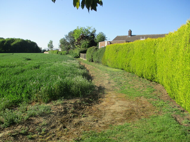
The forest also boasts a network of well-maintained footpaths, allowing visitors to explore its natural beauty. As they wander through the woodland, visitors may encounter a plethora of flora and fauna, including wildflowers, butterflies, and squirrels. The tranquil atmosphere and abundant wildlife make Foxhall Coverts an ideal location for those seeking a peaceful retreat from the hustle and bustle of everyday life.
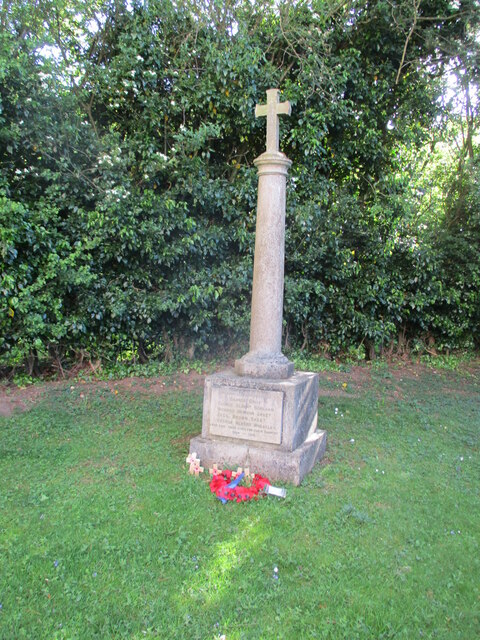
In addition to its natural beauty, Foxhall Coverts holds historical significance. The woodland was once part of a larger estate owned by the local aristocracy, and remnants of the estate's architecture can still be found within the forest. These historical features add a touch of charm and intrigue to the woodland, inviting visitors to delve into its past.
Overall, Foxhall Coverts offers a captivating blend of natural beauty, wildlife, and historical interest. It is a cherished destination for locals and visitors alike, providing a tranquil escape into the heart of the Suffolk countryside.
If you have any feedback on the listing, please let us know in the comments section below.
Foxhall Coverts Images
Images are sourced within 2km of 51.980349/0.9982808 or Grid Reference TM0635. Thanks to Geograph Open Source API. All images are credited.


Foxhall Coverts is located at Grid Ref: TM0635 (Lat: 51.980349, Lng: 0.9982808)
Administrative County: Suffolk
District: Babergh
Police Authority: Suffolk
What 3 Words
///thrusters.entrusted.wanted. Near East Bergholt, Suffolk
Nearby Locations
Related Wikis
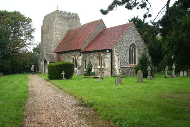
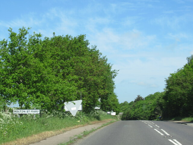
Holton St Mary
Holton St Mary is a village and civil parish in Suffolk, England. Located on the B1070 around five miles south-west of Ipswich and half a mile from the...

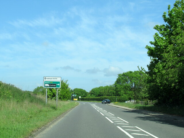
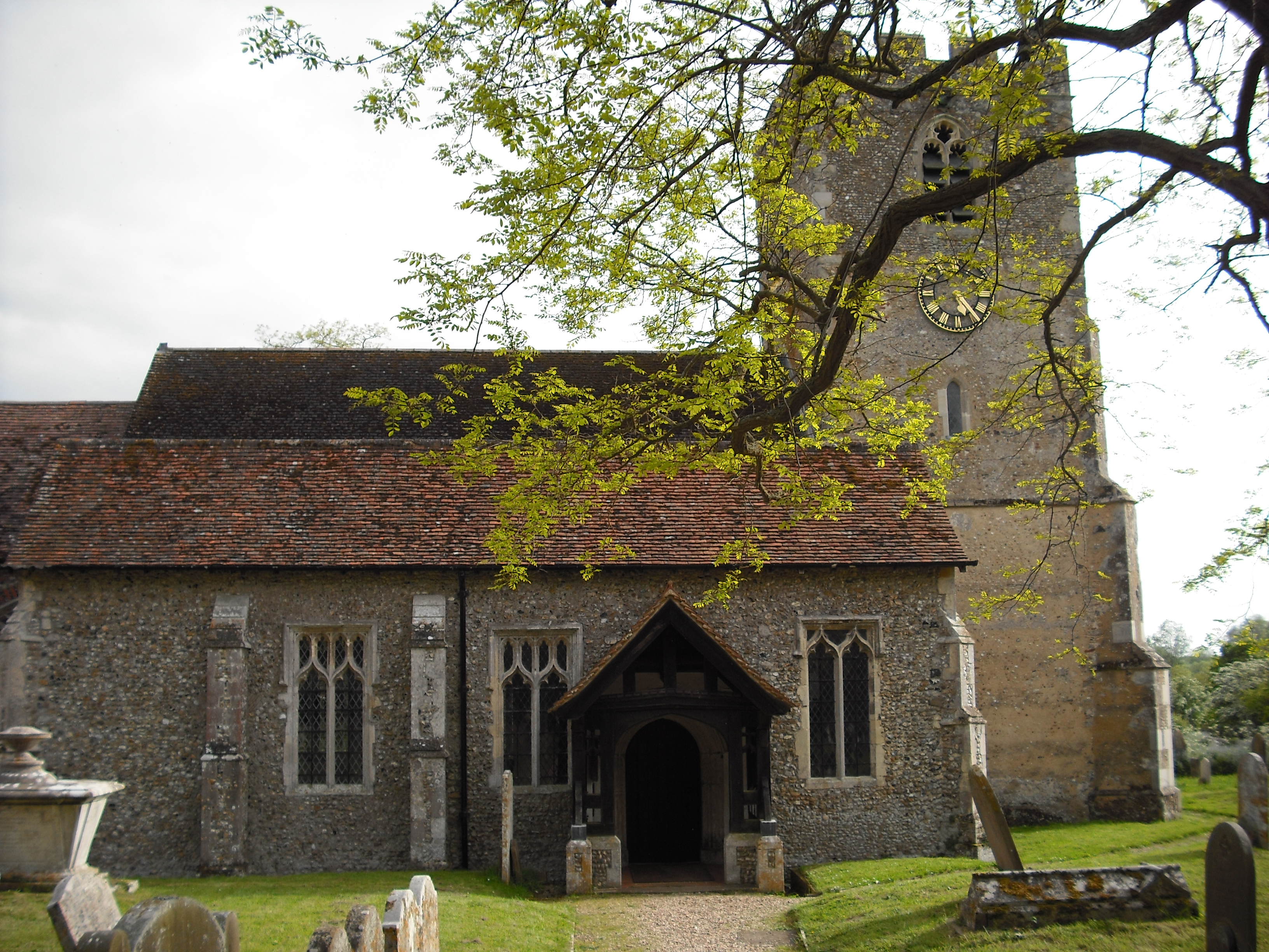
East Bergholt
East Bergholt is a village in the Babergh District of Suffolk, England, just north of the Essex border. The nearest town and railway station is Manningtree...

East Bergholt Abbey
East Bergholt Abbey was an abbey in Suffolk, England. It was built on land purchased in 1857 on the site of Old Hall manor. == History == === Old Hall... ===
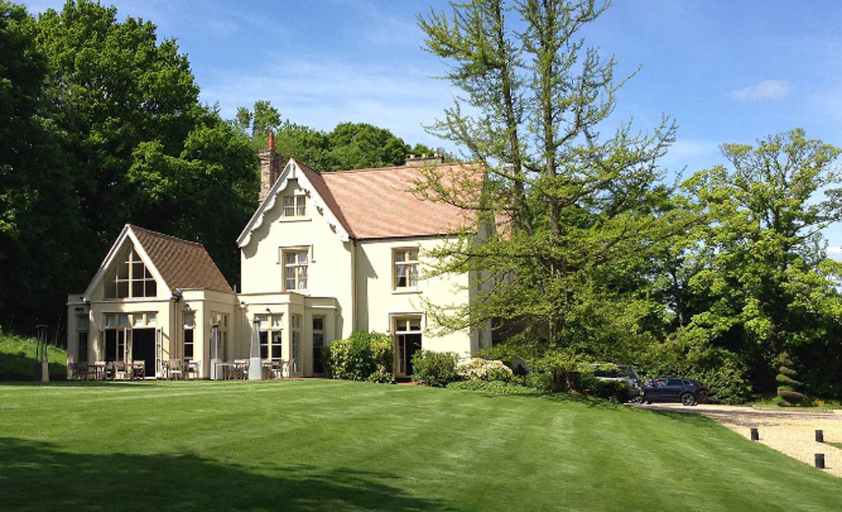
Maison Talbooth, Dedham
Maison Talbooth, Dedham in Essex is a building of historical significance. The construction was started in 1846 and completed by 1850. The architect was...

East Bergholt High School
East Bergholt High School is a secondary school in East Bergholt, Suffolk, 11 miles (18 km) north of Colchester, Essex, and nine miles (14 km) south of...
Dedham, Essex
Dedham is a village in the City of Colchester district of Essex, England. It is near the River Stour, which is the border of Essex and Suffolk. The nearest...
Higham, Babergh
Higham is a village and civil parish in Suffolk, England. Located on the eastern bank of the River Brett (which defines the parish's western boundary)...

River Brett
The River Brett is a river in Suffolk, England. Its source is in the villages to the north of Lavenham and it flows through Hadleigh to its confluence...
Nearby Amenities
Located within 500m of 51.980349,0.9982808Have you been to Foxhall Coverts?
Leave your review of Foxhall Coverts below (or comments, questions and feedback).