Upper Badley Wood
Wood, Forest in Suffolk Mid Suffolk
England
Upper Badley Wood
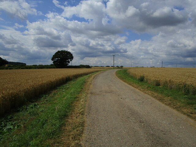
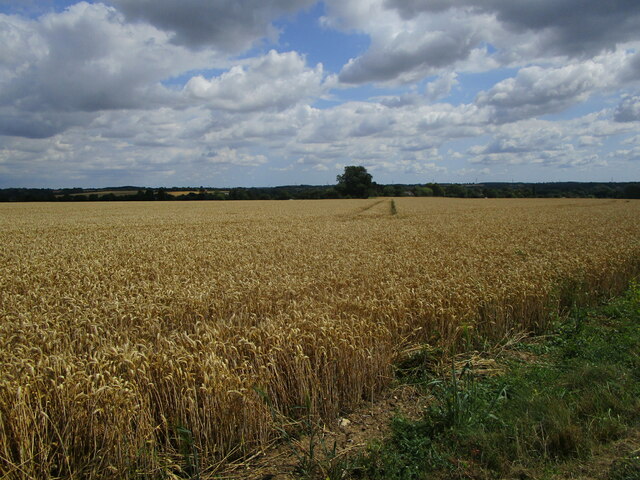
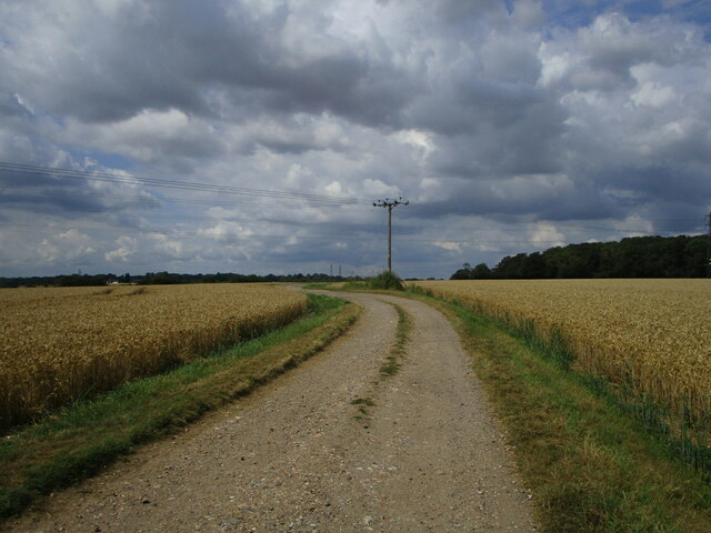
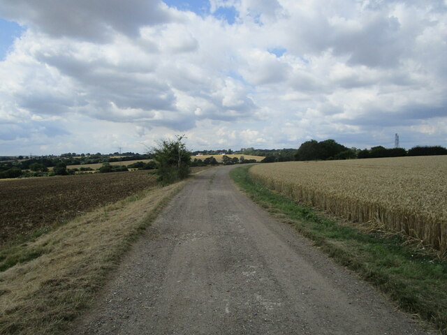
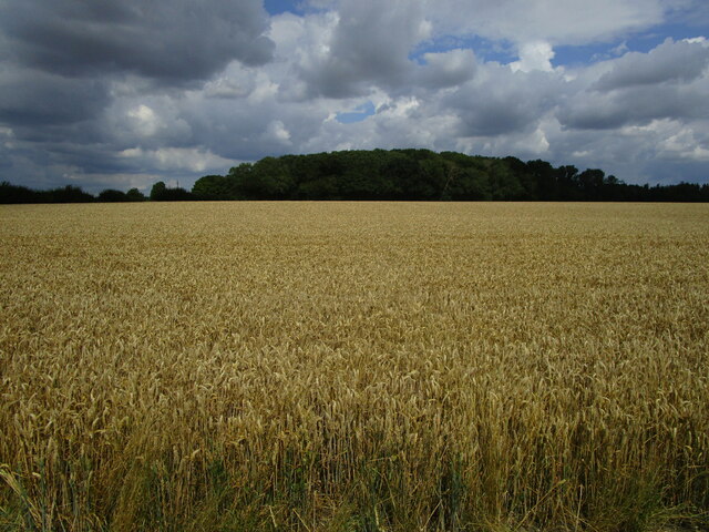
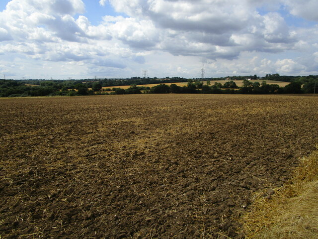
Upper Badley Wood is a picturesque woodland located in Suffolk, England. Situated in the heart of the county, it spans across a total area of approximately 50 acres. This ancient forest is known for its diverse range of flora and fauna, making it a popular destination for nature enthusiasts and wildlife lovers.
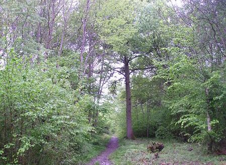
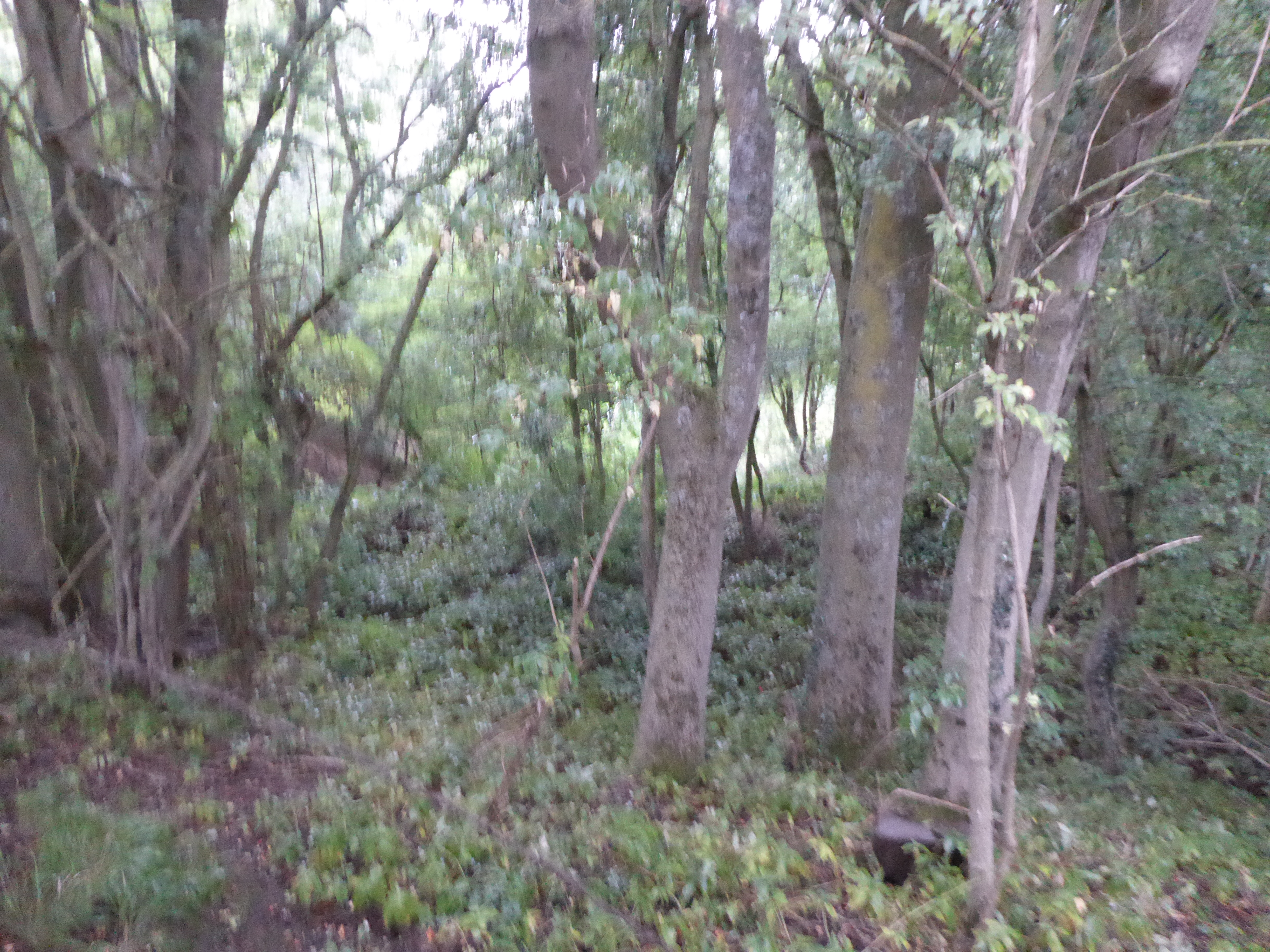
The woodland consists of a mixture of broadleaf trees, including oak, beech, and birch, which provide a beautiful canopy of shade during the summer months. The forest floor is covered in a rich carpet of bluebells, wild garlic, and ferns, creating a vibrant and enchanting atmosphere.
Upper Badley Wood is home to a diverse range of wildlife, including deer, foxes, badgers, and a variety of bird species. It serves as an important habitat for many rare and endangered species, making it a designated Site of Special Scientific Interest (SSSI).
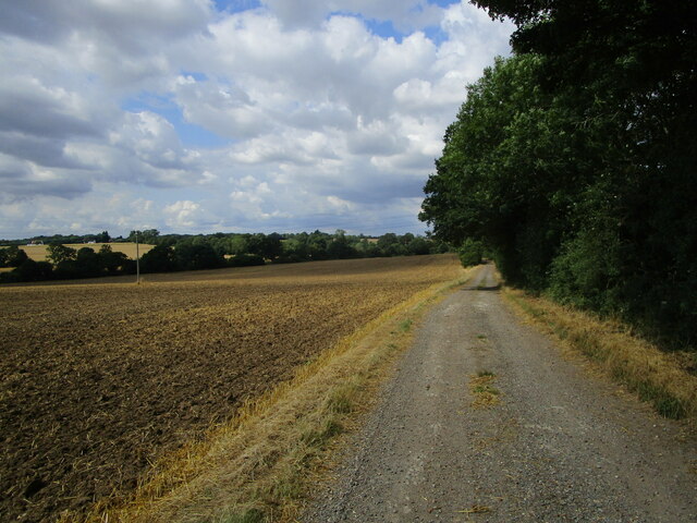
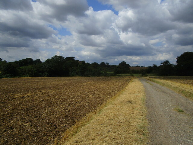
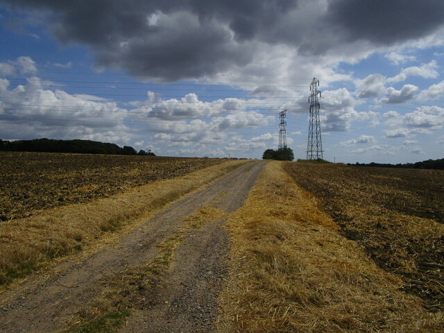
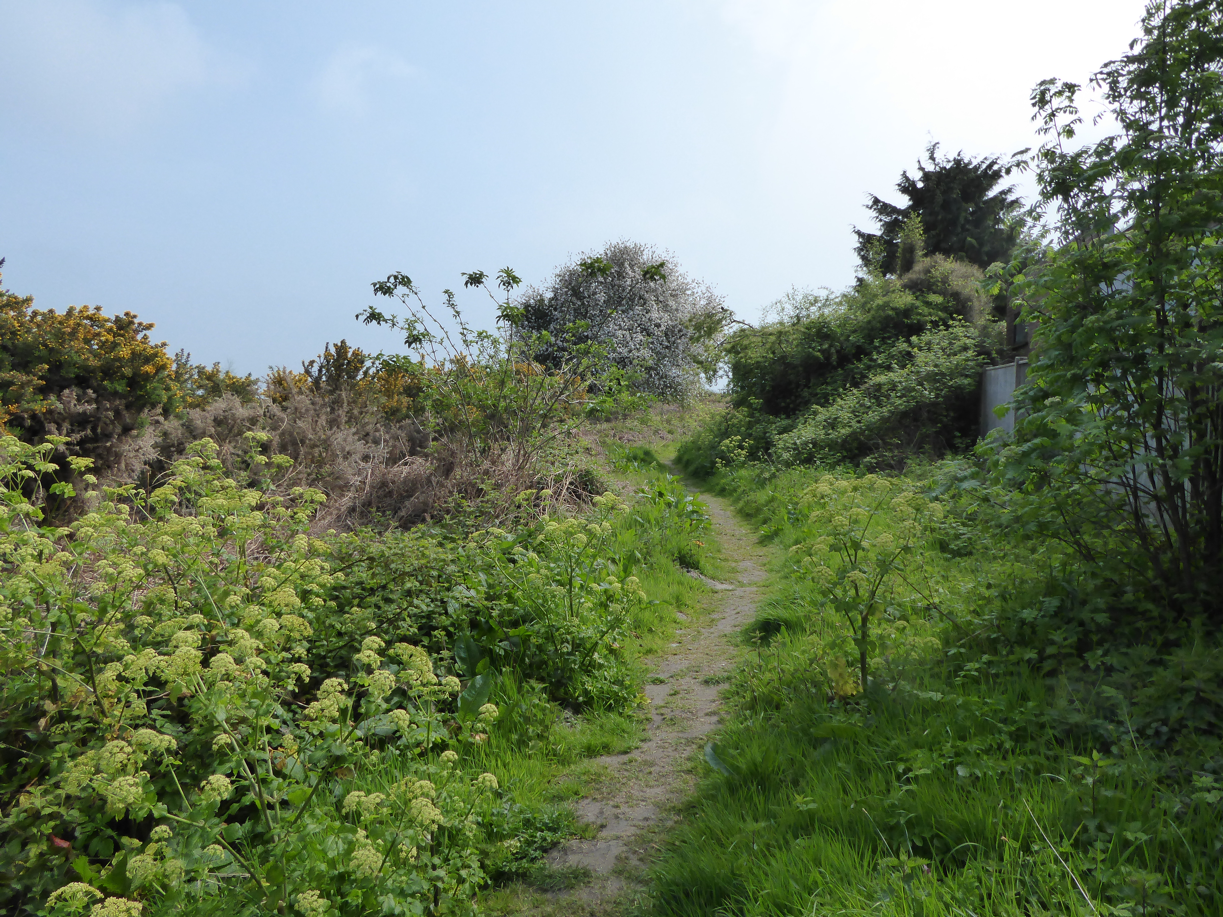
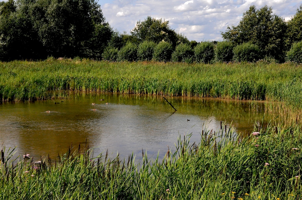
The woodland also offers a network of well-maintained footpaths, allowing visitors to explore its natural beauty and discover hidden gems. These paths lead to a tranquil pond, which serves as a watering hole for various animals and provides a serene spot for relaxation and contemplation.
Upper Badley Wood is managed by a local conservation group, which ensures the preservation of its natural integrity and the protection of its inhabitants. The woodland is open to the public all year round, providing a peaceful retreat for those seeking solace in nature.
In conclusion, Upper Badley Wood in Suffolk is a captivating woodland that offers a haven of biodiversity and tranquility. Its stunning scenery, diverse wildlife, and well-maintained footpaths make it a must-visit destination for nature enthusiasts and those seeking a peaceful escape from the hustle and bustle of everyday life.
If you have any feedback on the listing, please let us know in the comments section below.
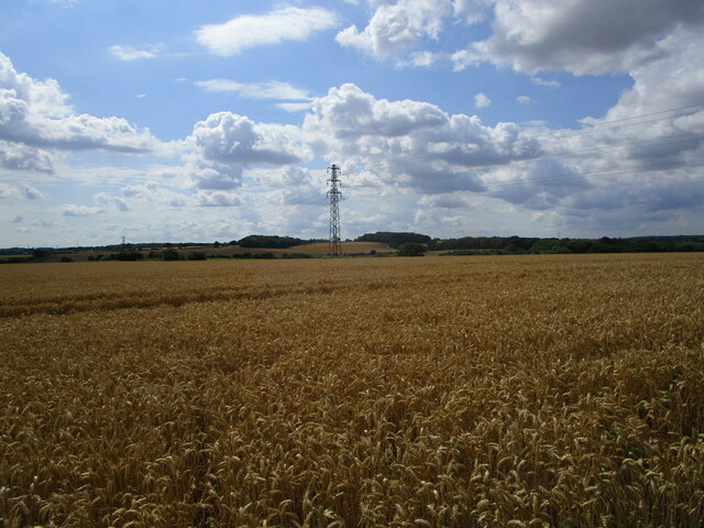
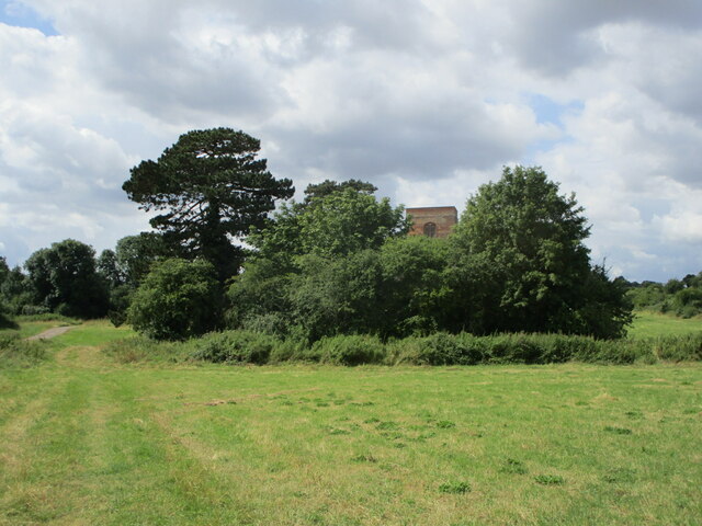
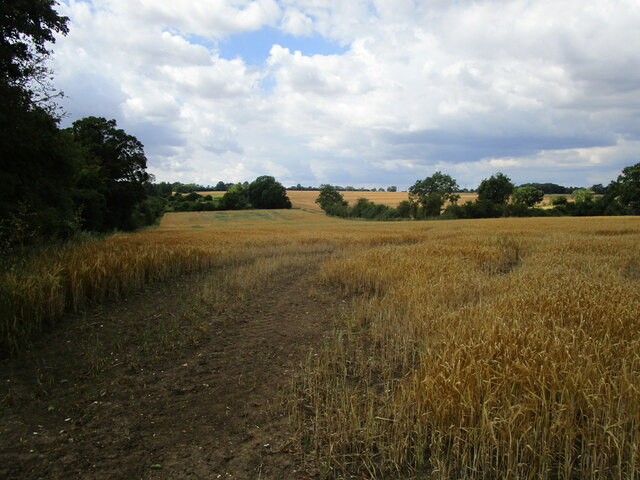
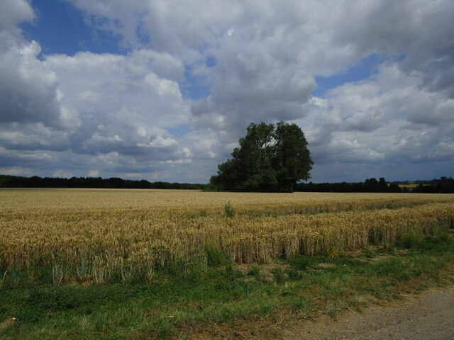
Upper Badley Wood Images
Images are sourced within 2km of 52.157411/1.0044262 or Grid Reference TM0555. Thanks to Geograph Open Source API. All images are credited.
Upper Badley Wood is located at Grid Ref: TM0555 (Lat: 52.157411, Lng: 1.0044262)
Administrative County: Suffolk
District: Mid Suffolk
Police Authority: Suffolk
What 3 Words
///cuts.hologram.trip. Near Needham Market, Suffolk
Nearby Locations
Related Wikis

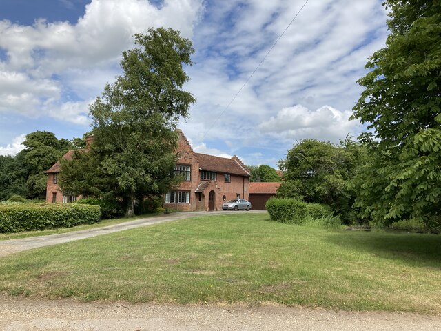
Little London, Suffolk
Little London is a village in Suffolk, to the south of Combs and Stowmarket.

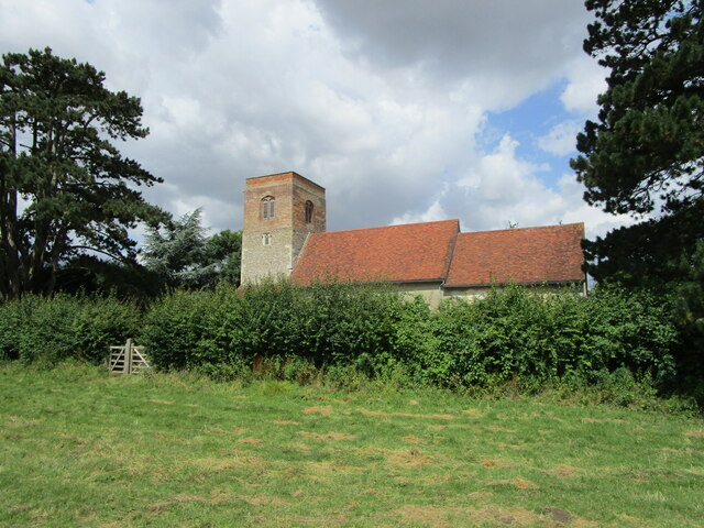
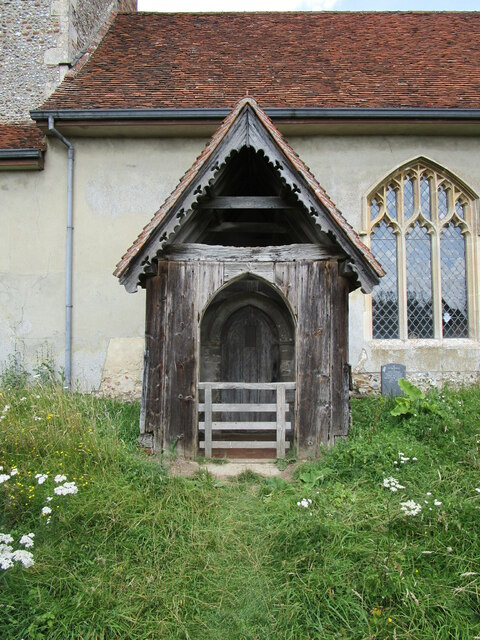
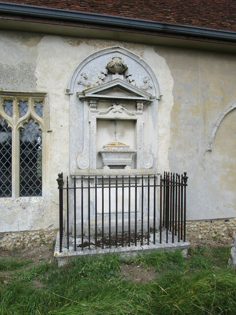
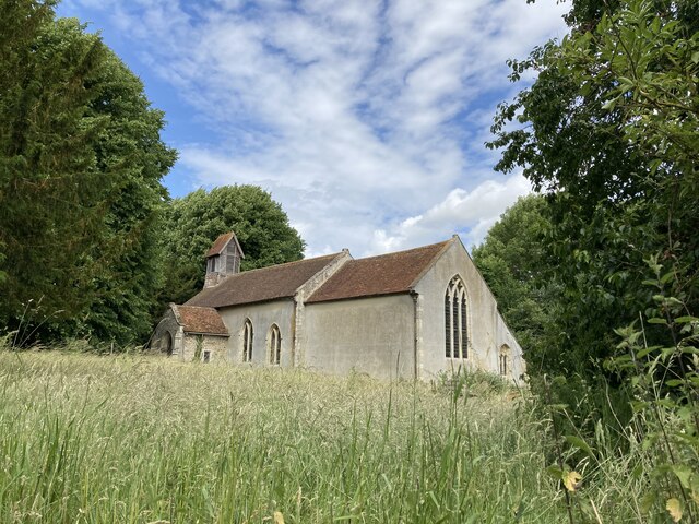
St Mary's Church, Badley
St Mary's Church is a redundant Anglican church in the village of Badley, Suffolk, England. It is recorded in the National Heritage List for England as...

Battisford
Battisford is a village and civil parish in the Mid Suffolk district of Suffolk, England. The village is about 4 miles (6 km) south of Stowmarket, and...
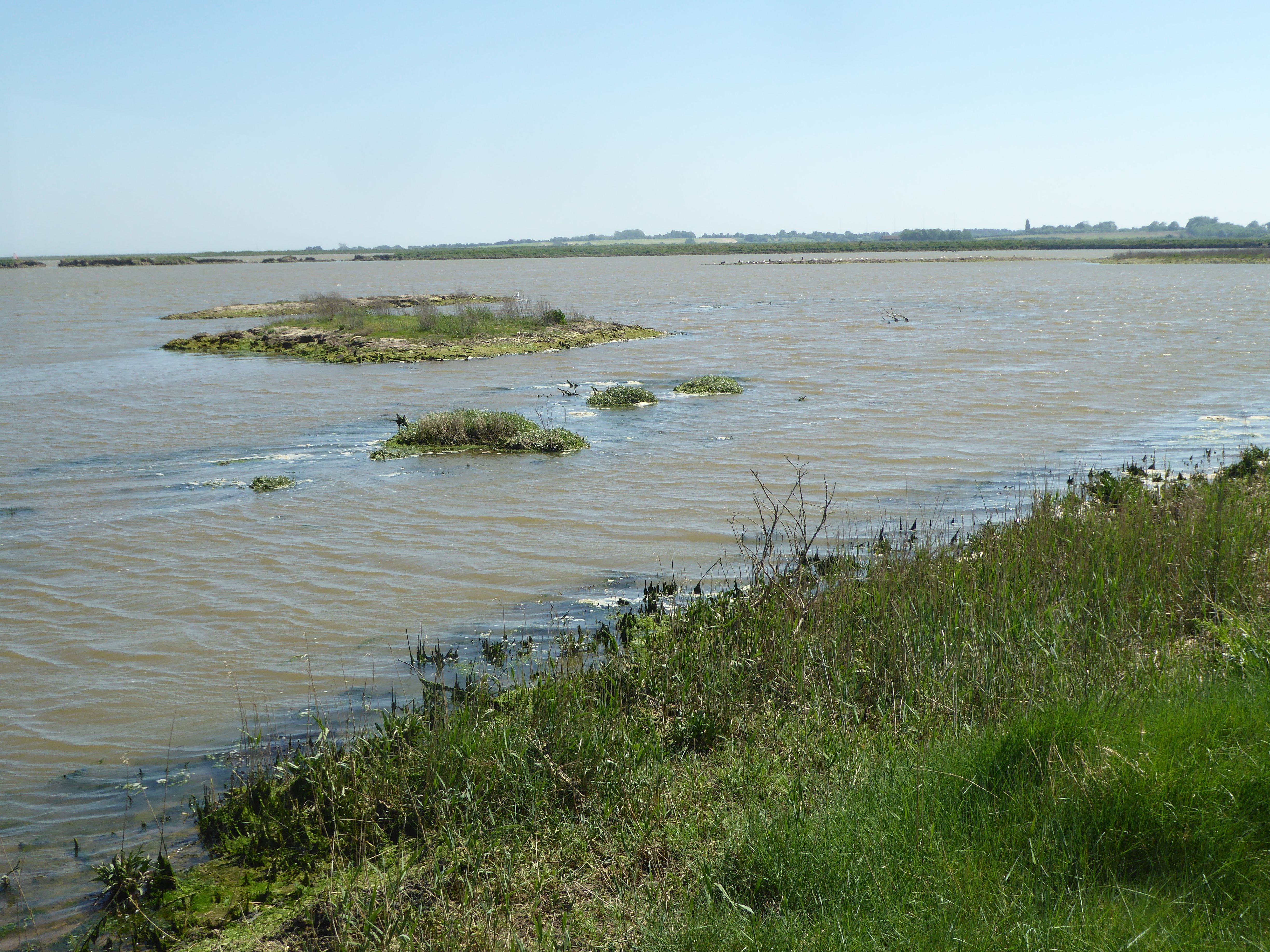
Suffolk Wildlife Trust
Suffolk Wildlife Trust (SWT) describes itself as the county's "nature charity – the only organisation dedicated wholly to safeguarding Suffolk's wildlife...
List of local nature reserves in Suffolk
Suffolk is a county in East Anglia. It is bounded by Norfolk to the north, Cambridgeshire to the west and Essex to the south. With an area of 1,466 square...
List of Sites of Special Scientific Interest in Suffolk
Suffolk is a county in East Anglia. It is bounded by Norfolk to the north, Cambridgeshire to the west, Essex to the south and the North Sea to the east...
Combs Wood
Combs Wood is a 15.1 hectares (37 acres) biological Site of Special Scientific Interest on the southern outskirts of Stowmarket in Suffolk. It is owned...
Hascot Hill Pit
Hascot Hill Pit is a 0.3-hectare (0.74-acre) geological Site of Special Scientific Interest south-west of Needham Market in Suffolk. It is a Geological...
Have you been to Upper Badley Wood?
Leave your review of Upper Badley Wood below (or comments, questions and feedback).