Ravenspark Covert
Wood, Forest in Suffolk Mid Suffolk
England
Ravenspark Covert
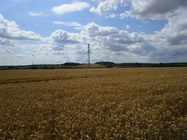
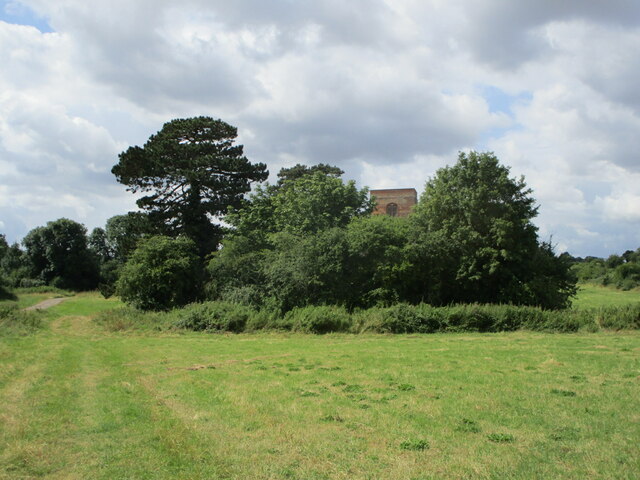
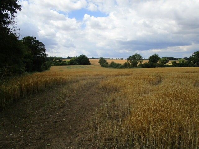
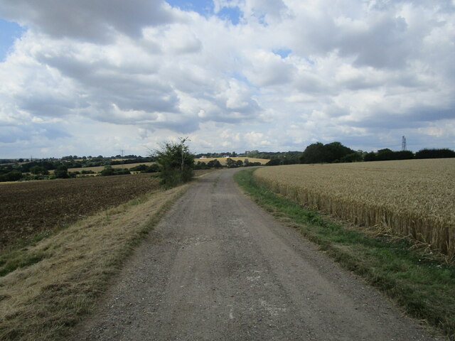
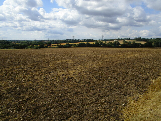
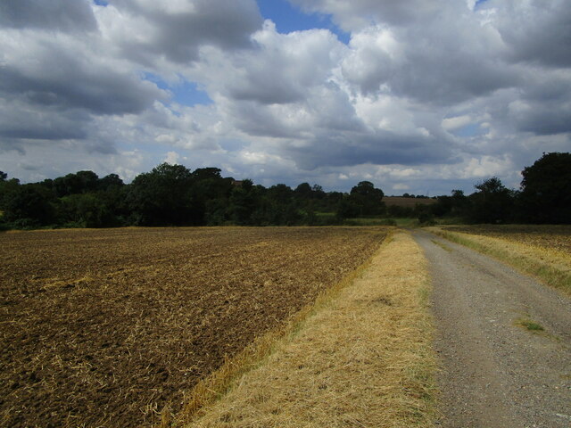
Ravenspark Covert is a picturesque woodland located in Suffolk, England. Spanning over a vast area, this woodland is often referred to as a "covert," which is an old English term for a small wood or forest. The covert is situated in close proximity to the village of Ravenspark, and it has become a popular destination for nature enthusiasts and locals alike.
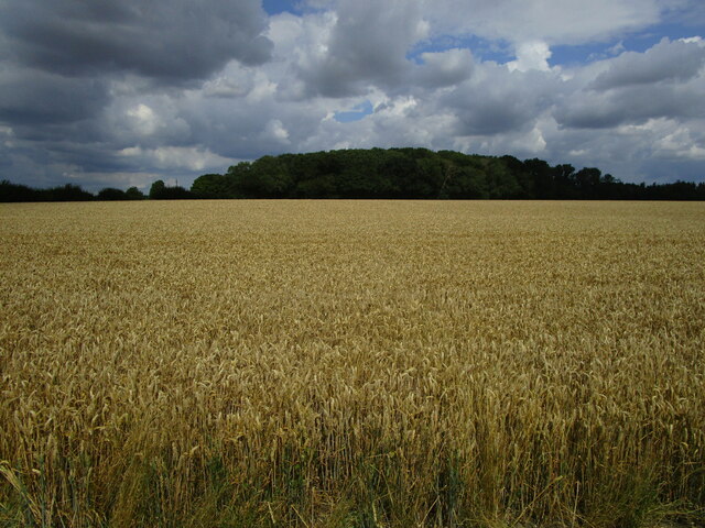
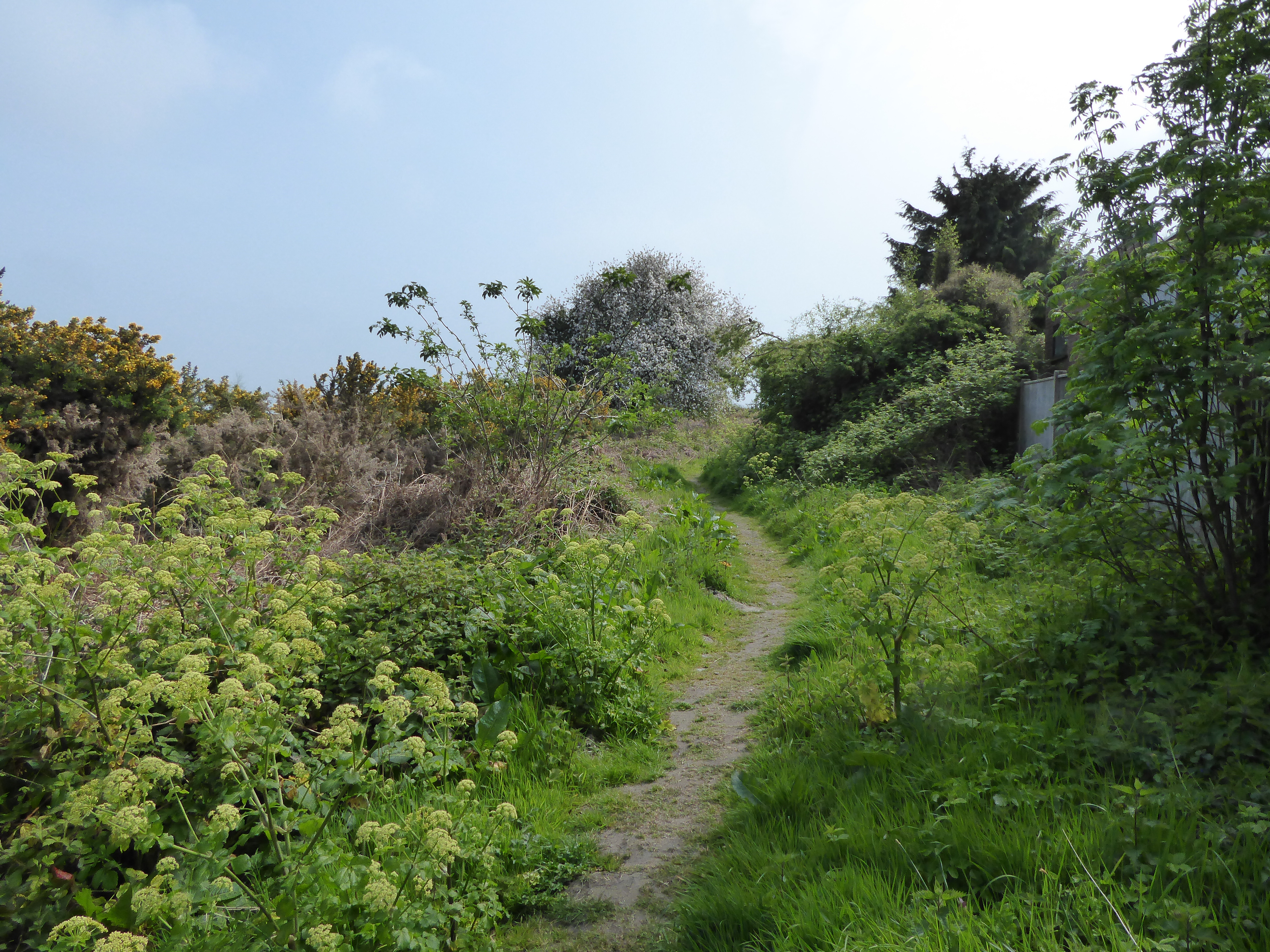
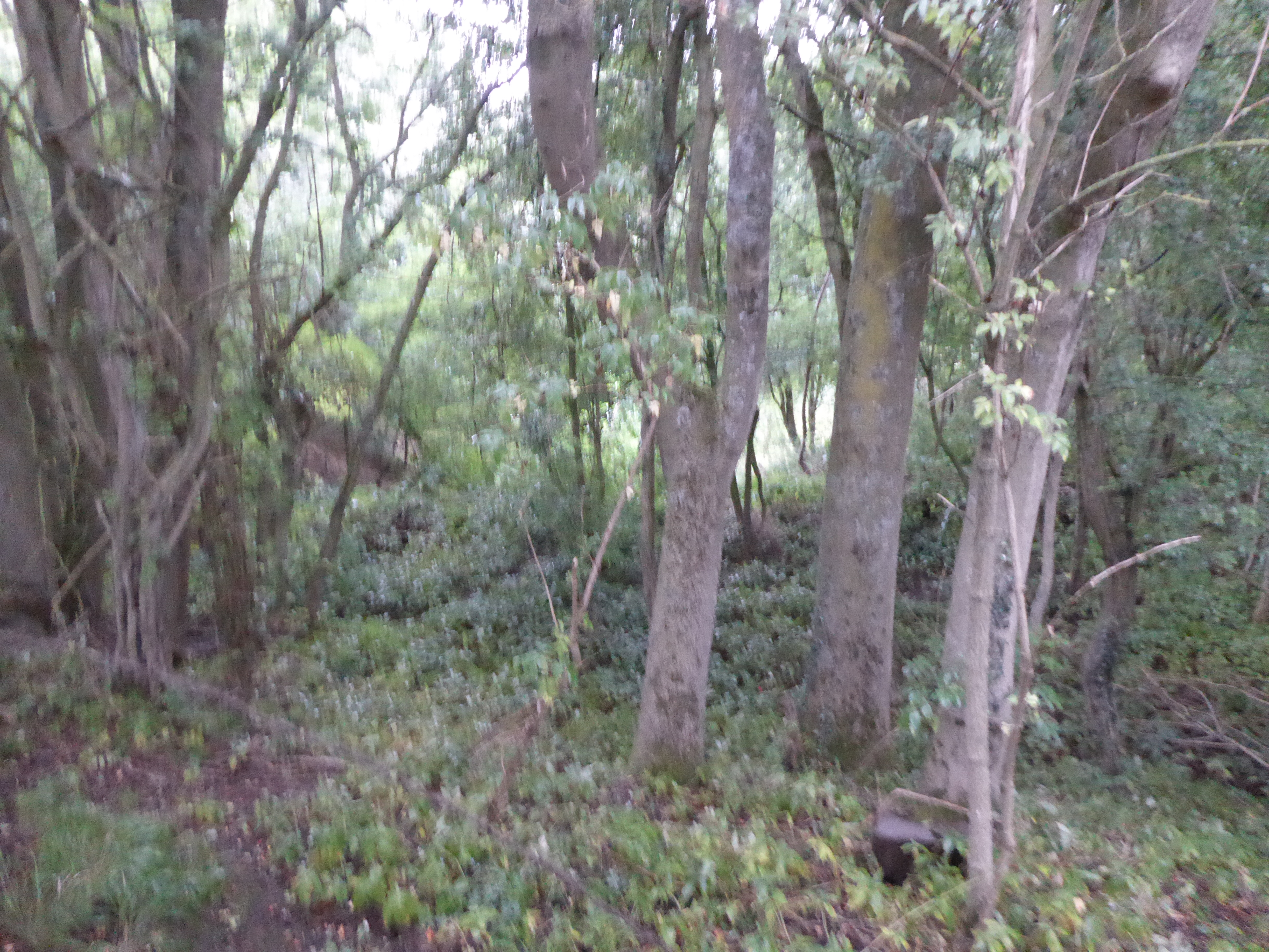
The woodland boasts a diverse range of flora and fauna, making it an ideal habitat for numerous species. Tall, majestic oak trees dominate the area, providing shade and shelter to an array of wildlife. The forest floor is adorned with an assortment of wildflowers, such as bluebells and primroses, which bloom during the spring months, creating a vibrant and colorful atmosphere.
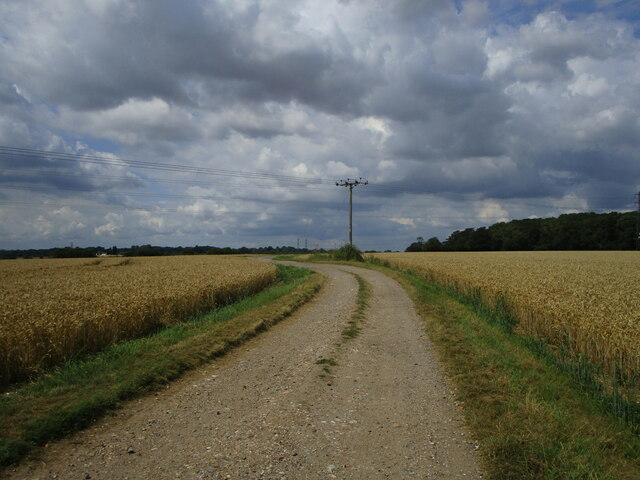
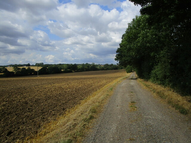
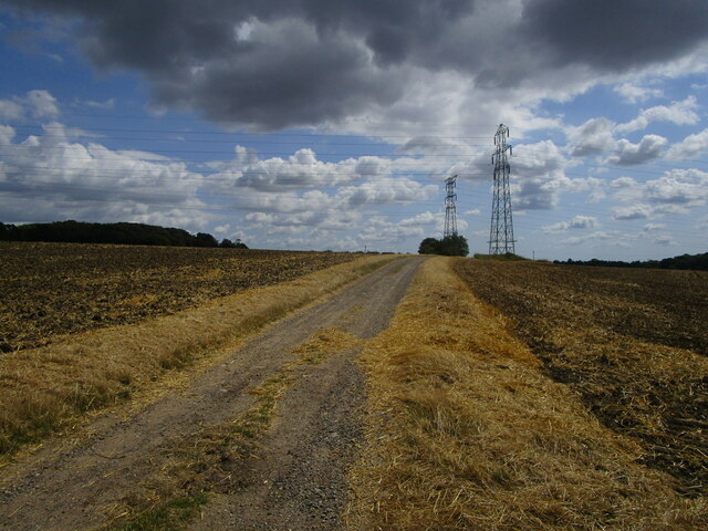
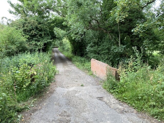
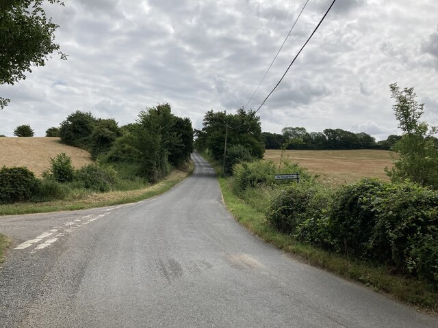
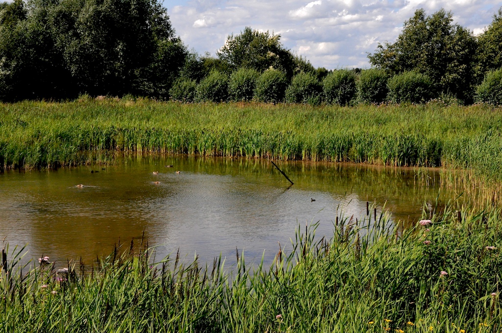
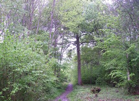
Ravenspark Covert offers a network of well-maintained walking trails, allowing visitors to explore this natural wonderland at their own pace. These trails wind their way through the woodland, leading to hidden gems like secluded ponds and small clearings where one can sit and immerse themselves in the tranquility of the surroundings.
Birdwatchers will find Ravenspark Covert particularly appealing, as it is home to a variety of avian species. Visitors may spot native birds like woodpeckers, owls, and thrushes, their melodic songs filling the air. The covert is also known to attract migratory birds during certain times of the year, adding to the vibrant birdlife.
Overall, Ravenspark Covert is a captivating woodland in Suffolk, offering a haven for nature lovers and a chance to escape the hustle and bustle of everyday life. Its natural beauty and serene atmosphere make it a must-visit destination for those seeking solace in the great outdoors.
If you have any feedback on the listing, please let us know in the comments section below.
Ravenspark Covert Images
Images are sourced within 2km of 52.155075/1.0036401 or Grid Reference TM0555. Thanks to Geograph Open Source API. All images are credited.
Ravenspark Covert is located at Grid Ref: TM0555 (Lat: 52.155075, Lng: 1.0036401)
Administrative County: Suffolk
District: Mid Suffolk
Police Authority: Suffolk
What 3 Words
///stirs.glory.suave. Near Needham Market, Suffolk
Nearby Locations
Related Wikis

Battisford
Battisford is a village and civil parish in the Mid Suffolk district of Suffolk, England. The village is about 4 miles (6 km) south of Stowmarket, and...

Little London, Suffolk
Little London is a village in Suffolk, to the south of Combs and Stowmarket.

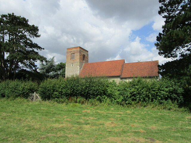
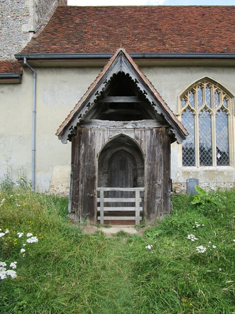
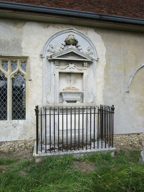
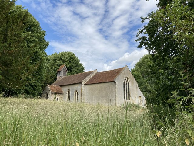
St Mary's Church, Badley
St Mary's Church is a redundant Anglican church in the village of Badley, Suffolk, England. It is recorded in the National Heritage List for England as...
Suffolk Wildlife Trust
Suffolk Wildlife Trust (SWT) describes itself as the county's "nature charity – the only organisation dedicated wholly to safeguarding Suffolk's wildlife...
List of local nature reserves in Suffolk
Suffolk is a county in East Anglia. It is bounded by Norfolk to the north, Cambridgeshire to the west and Essex to the south. With an area of 1,466 square...
List of Sites of Special Scientific Interest in Suffolk
Suffolk is a county in East Anglia. It is bounded by Norfolk to the north, Cambridgeshire to the west, Essex to the south and the North Sea to the east...
Hascot Hill Pit
Hascot Hill Pit is a 0.3-hectare (0.74-acre) geological Site of Special Scientific Interest south-west of Needham Market in Suffolk. It is a Geological...
Combs Wood
Combs Wood is a 15.1 hectares (37 acres) biological Site of Special Scientific Interest on the southern outskirts of Stowmarket in Suffolk. It is owned...
Nearby Amenities
Located within 500m of 52.155075,1.0036401Have you been to Ravenspark Covert?
Leave your review of Ravenspark Covert below (or comments, questions and feedback).