Gravel Pit Grove
Wood, Forest in Essex Colchester
England
Gravel Pit Grove
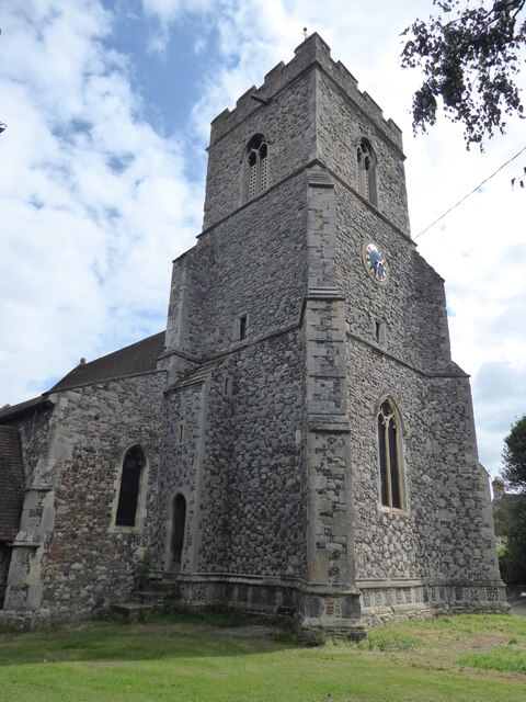
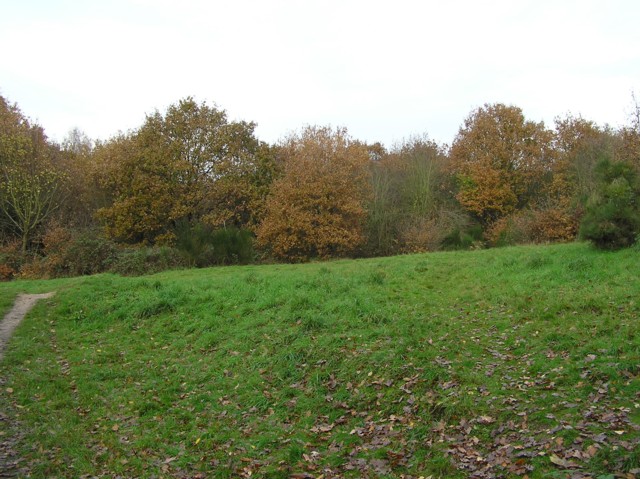
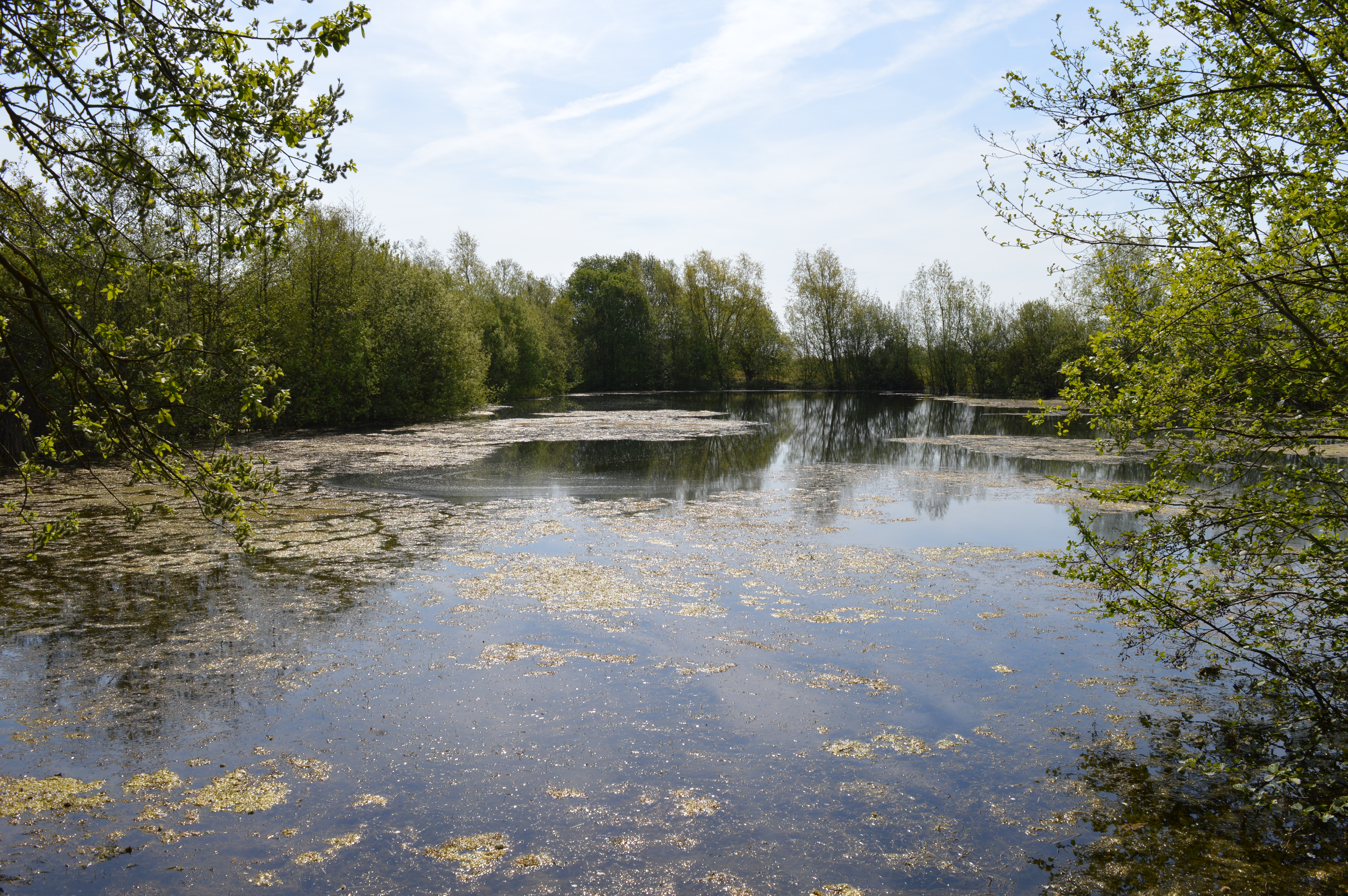
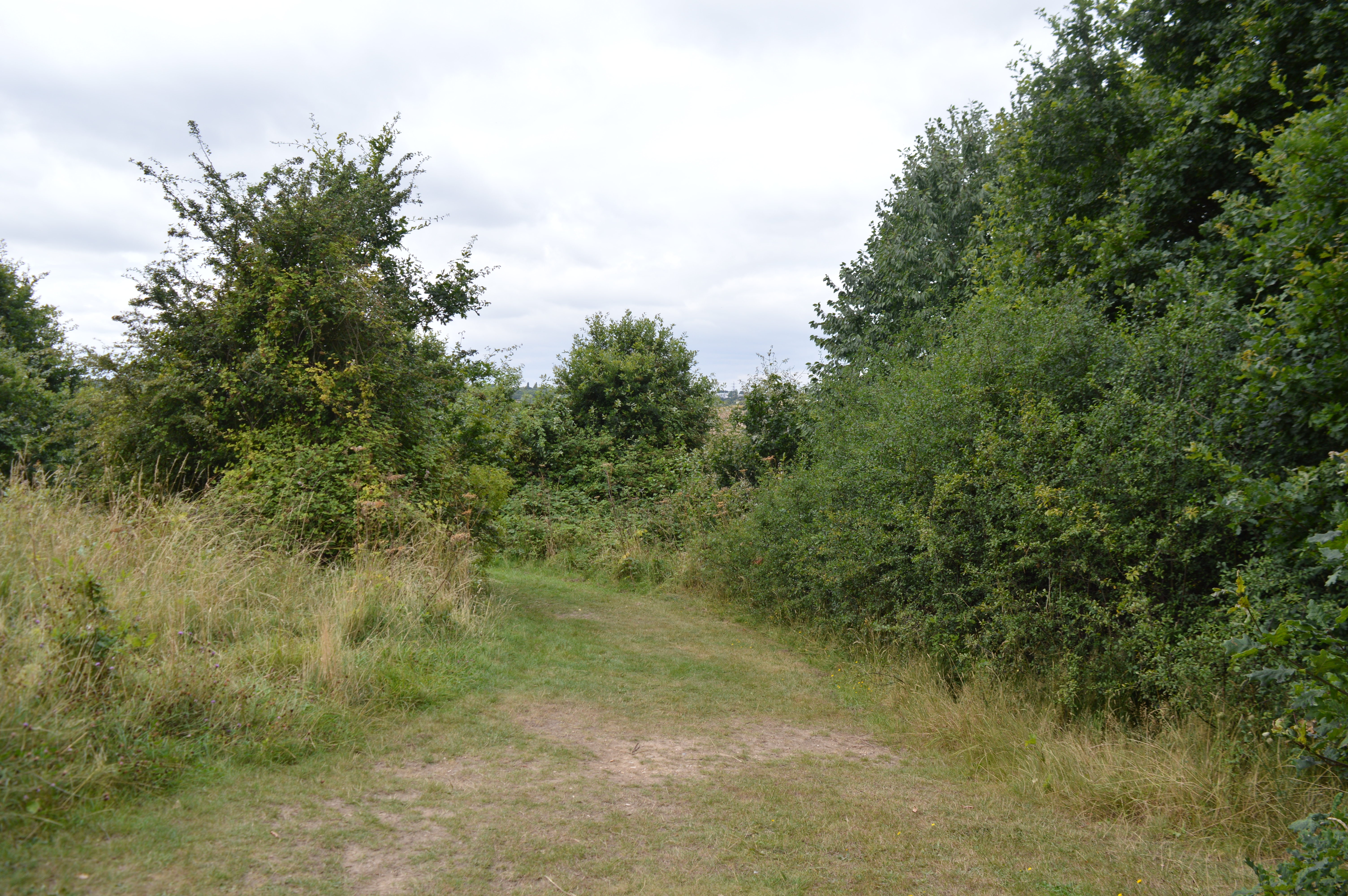
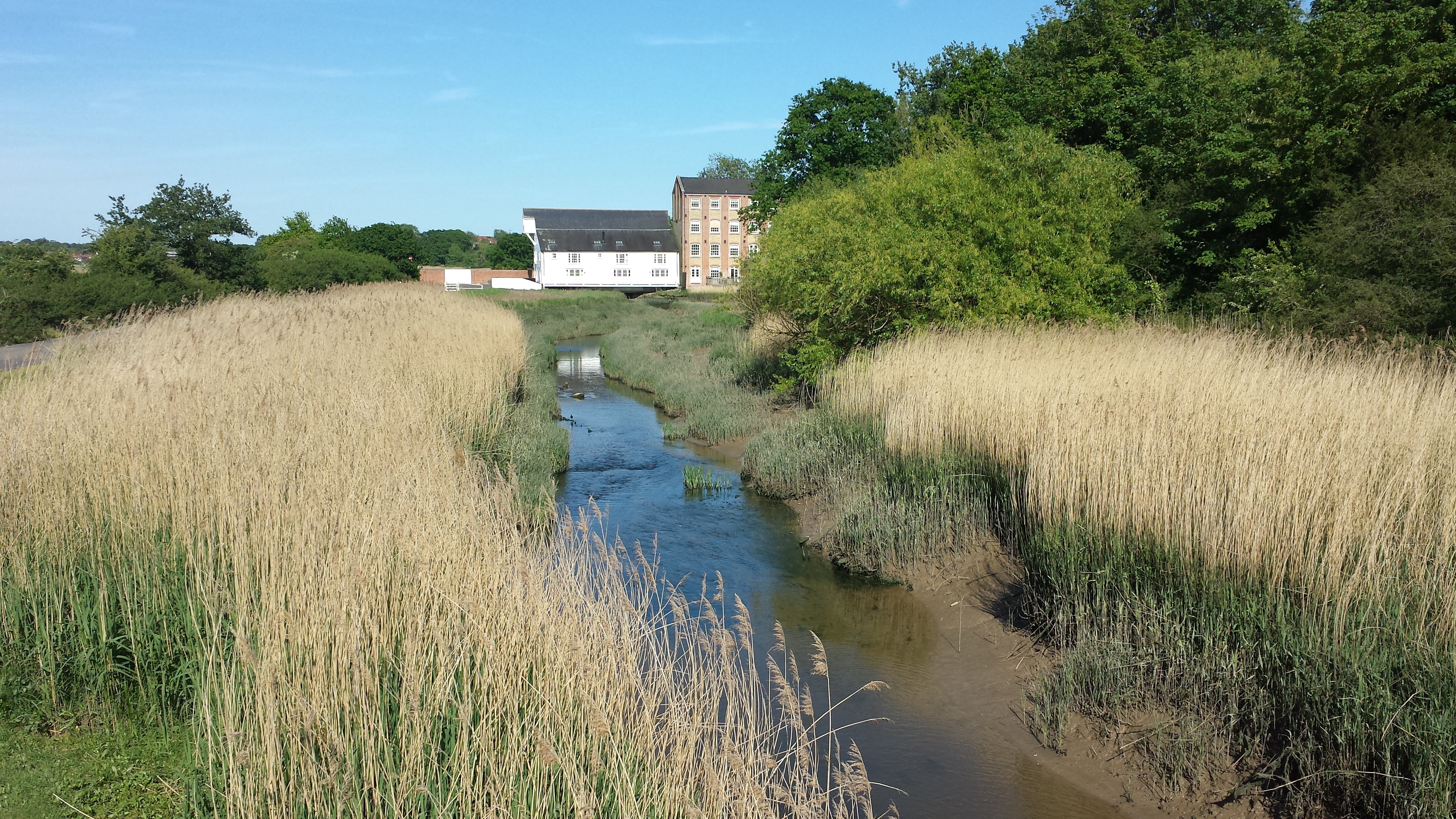
Gravel Pit Grove is a picturesque woodland located in Essex, England. Situated in the heart of the county, this woodland covers an area of approximately 50 acres and is known for its natural beauty and diverse range of flora and fauna.
The grove derives its name from its history as a former gravel pit, which was later transformed into a woodland. The site was carefully restored and reforested, resulting in the creation of an enchanting woodland that is now a haven for wildlife and nature enthusiasts.
Gravel Pit Grove boasts a mix of deciduous and evergreen trees, including oak, beech, birch, and pine. The dense canopy created by these trees provides a cool and tranquil atmosphere, making it an ideal destination for those seeking respite from the bustling city life.
The woodland is crisscrossed by a network of well-maintained footpaths, allowing visitors to explore its various trails and discover the hidden gems within. The paths meander through the grove, leading visitors to small streams, ponds, and clearings, each offering unique glimpses of the natural surroundings.
The abundance of wildlife in Gravel Pit Grove is a testament to its thriving ecosystem. Visitors may encounter a variety of bird species, such as woodpeckers, owls, and finches, as well as small mammals like squirrels and rabbits. The grove also hosts a diverse range of plant life, including wildflowers, ferns, and mosses, adding to its natural beauty.
Overall, Gravel Pit Grove in Essex is a captivating woodland that offers a serene escape into nature, providing a perfect opportunity to unwind, connect with wildlife, and appreciate the wonders of the natural world.
If you have any feedback on the listing, please let us know in the comments section below.
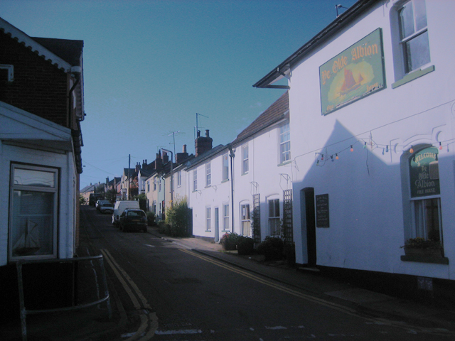
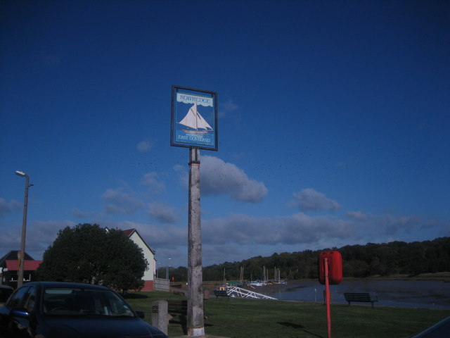
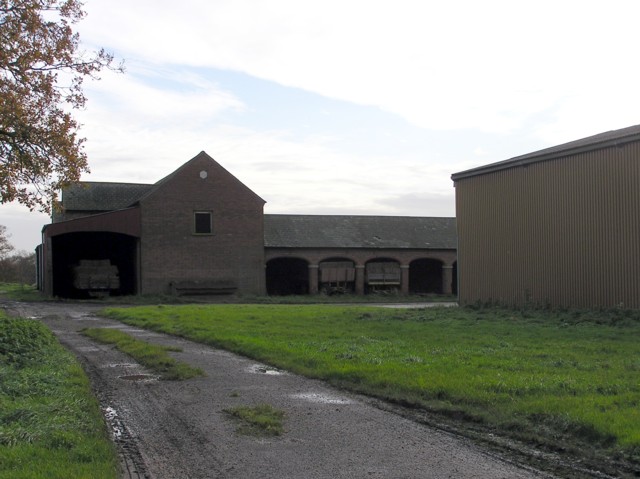
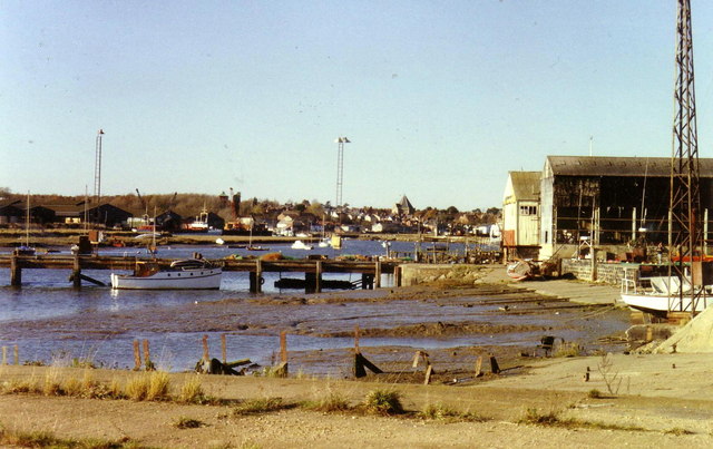
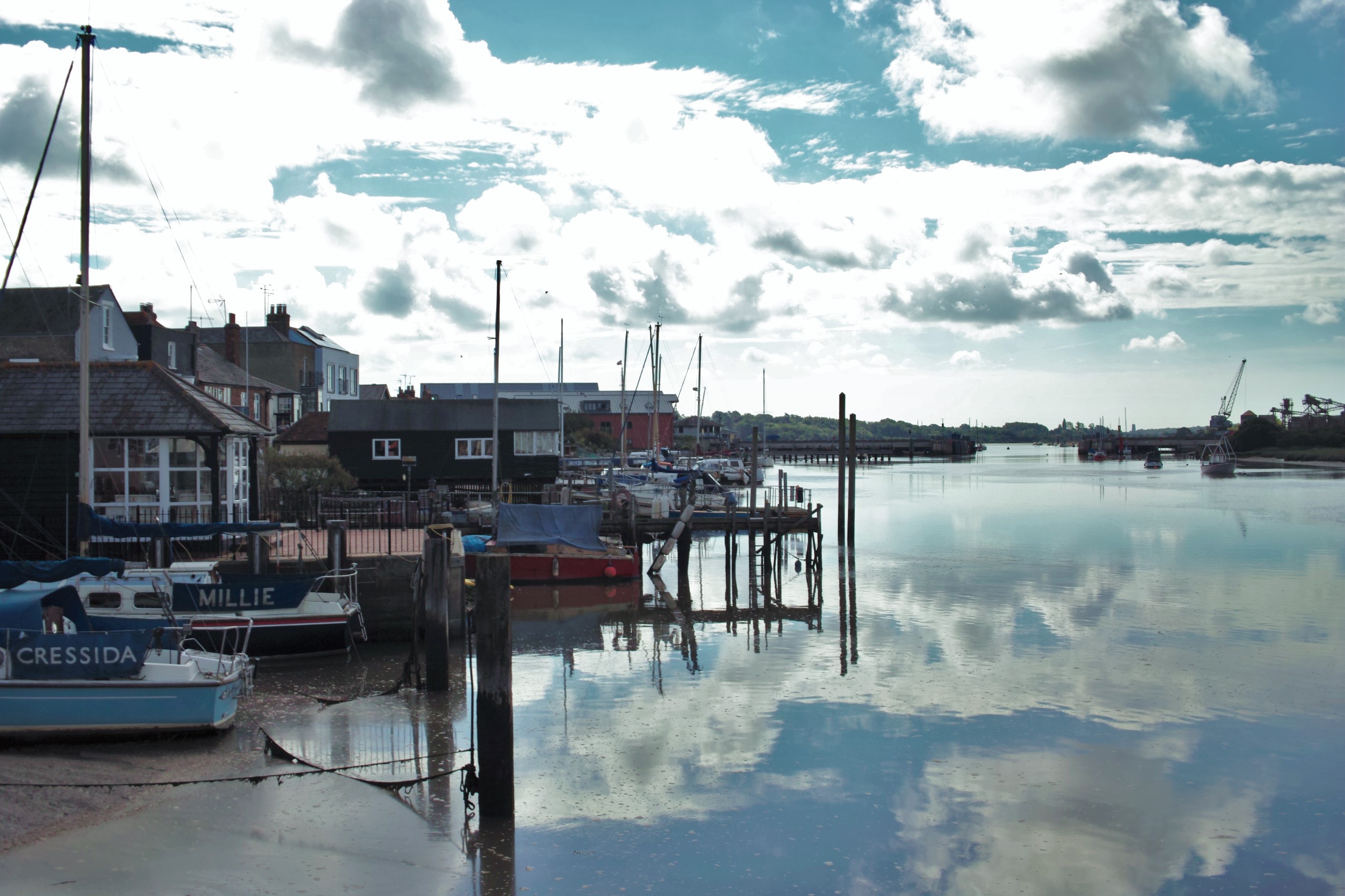
Gravel Pit Grove Images
Images are sourced within 2km of 51.861771/0.97047 or Grid Reference TM0422. Thanks to Geograph Open Source API. All images are credited.

Gravel Pit Grove is located at Grid Ref: TM0422 (Lat: 51.861771, Lng: 0.97047)
Administrative County: Essex
District: Colchester
Police Authority: Essex
What 3 Words
///directive.nothing.yarn. Near Wivenhoe, Essex
Nearby Locations
Related Wikis
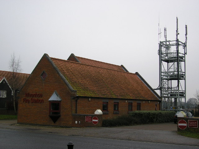
Wivenhoe
Wivenhoe ( WIV-ən-hoh) is a town and civil parish in north-eastern Essex, England, approximately 3 miles (5 km) south-east of Colchester. Historically...

Cockaynes Wood
Cockaynes Wood is a 20.2-hectare (50-acre) nature reserve between Wivenhoe and Alresford in Essex, United Kingdom. It is managed by the Essex Wildlife...

Wivenhoe railway station
Wivenhoe railway station is on the Sunshine Coast Line, a branch of the Great Eastern Main Line, in the East of England, serving the small town of Wivenhoe...
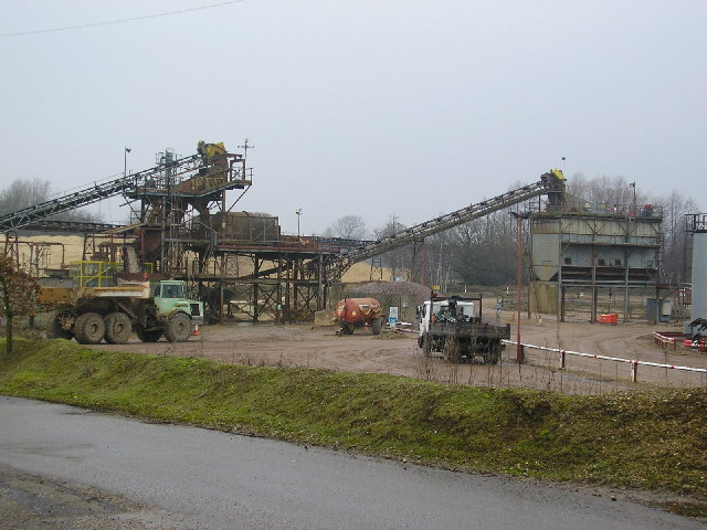
Wivenhoe Gravel Pit
Wivenhoe Gravel Pit is a 2.1-hectare (5.2-acre) geological Site of Special Scientific Interest north of Wivenhoe in Essex. It is a Geological Conservation...
Colne Local Nature Reserve
Colne Local Nature Reserve is a 34.7 hectare Local Nature Reserve in Wivenhoe in Essex. It is owned and managed by Colchester Borough Council.Most of the...

Wivenhoe Town F.C.
Wivenhoe Town F.C. is an English football club based in Wivenhoe, Essex. The club are currently members of the Eastern Counties League Division One North...

Elmstead, Essex
Elmstead is a village and civil parish in the Tendring district, in the English county of Essex. In 2001 the population of the civil parish of Elmstead...
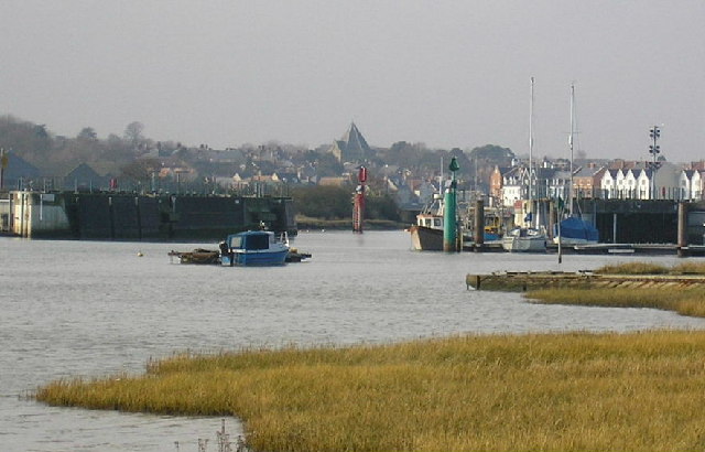
Roman River
The Roman River is a river that flows entirely through the English county of Essex. It is a tributary of the River Colne, flowing into its tidal estuary...
Nearby Amenities
Located within 500m of 51.861771,0.97047Have you been to Gravel Pit Grove?
Leave your review of Gravel Pit Grove below (or comments, questions and feedback).