Black Horse Wood

Wood, Forest in Suffolk West Suffolk

England

Black Horse Wood

Hepworth, Weston Hindle Farm: Bringing in the grain for storage
Hepworth, Weston Hindle Farm: Bringing in the grain for storage Credit: Michael Garlick

Black Horse Wood is a picturesque woodland located in Suffolk, England. Spanning over an area of approximately 100 acres, it is a renowned natural treasure in the region. The woodland is situated within the larger Black Horse Forest, which covers a total area of around 1,500 acres. The forest is known for its diverse range of flora and fauna, making it a popular destination for nature enthusiasts and wildlife photographers.

Black Horse Wood is characterized by its dense canopy of towering trees, predominantly consisting of oak, beech, and birch. The woodland floor is covered in a rich carpet of wildflowers, ferns, and mosses, creating a vibrant and enchanting atmosphere. The area is often described as a haven for birdlife, with numerous species, including woodpeckers, owls, and warblers, making it their home.

The wood is crisscrossed by a network of well-maintained footpaths, allowing visitors to explore its beauty at their own pace. These paths lead to secluded clearings, babbling brooks, and hidden ponds, adding to the sense of tranquility and serenity that permeates the wood.

Black Horse Wood is managed by a dedicated team of conservationists who work tirelessly to preserve its natural beauty and protect its delicate ecosystem. They organize regular educational programs and guided walks to raise awareness about the importance of woodland conservation.

Overall, Black Horse Wood is a captivating destination for those seeking solace in nature. Its breathtaking scenery, diverse wildlife, and well-preserved trails make it an idyllic location for anyone looking to immerse themselves in the beauty of the Suffolk countryside.

If you have any feedback on the listing, please let us know in the comments section below.

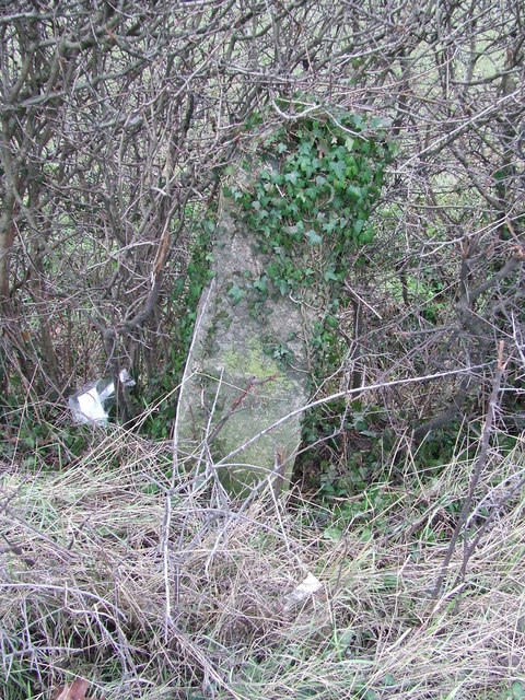
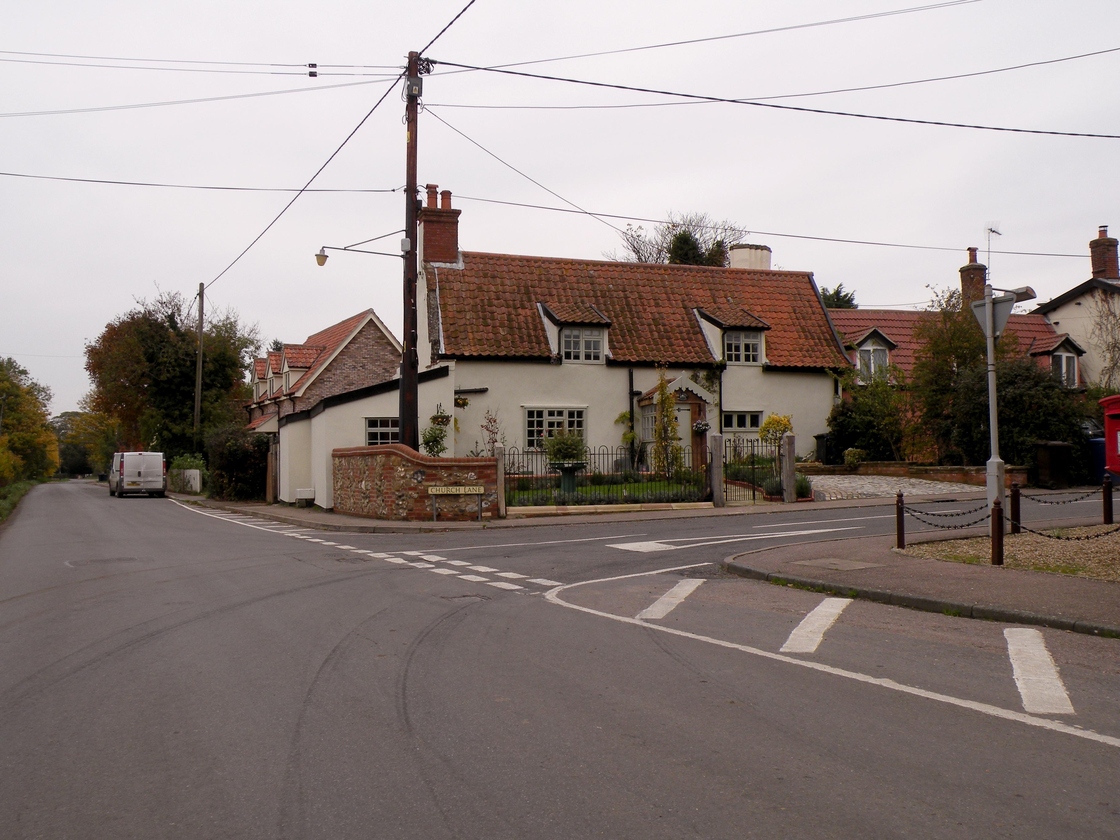
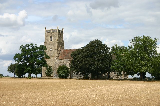
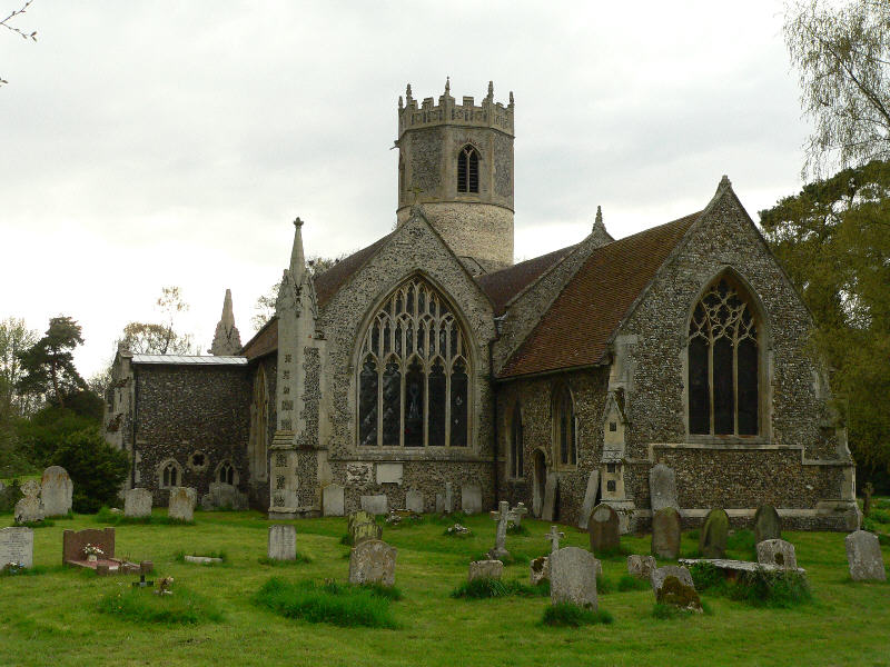
Black Horse Wood Images

Images are sourced within 2km of 52.343897/0.94126302 or Grid Reference TM0075. Thanks to Geograph Open Source API. All images are credited.

Hepworth, Weston Hindle Farm: Bringing in the grain for storage
Hepworth, Weston Hindle Farm: Cereal crop
Hepworth, St. Peter's Church: South porch, western aspect
Hepworth, St. Peter's Church: Northern aspect
Hepworth, St. Peter's Church: Part south western aspect
Hepworth, St. Peter's Church: South western corner of the churchyard
Hepworth, St. Peter's Church: Tiny south chancel window
Hepworth, St. Peter's Church: War memorial in the churchyard
Byway to Hepworth This track leads southwards from the Market Weston Road towards Hepworth and Wattisfield.
Byway to Hepworth
This track leads southwards from the Market Weston Road towards Hepworth and Wattisfield.
Blue Bells Plantation Looking north east across a grassy field with poppies.
Blue Bells Plantation
Looking north east across a grassy field with poppies.
Footpath to Hepworth This public footpath leads west from Clay Lane.
Footpath to Hepworth
This public footpath leads west from Clay Lane.
Dunhill Lane, Hepworth This byway is an ancient trackway between the villages of Market Weston and Wattisfield.
Dunhill Lane, Hepworth
This byway is an ancient trackway between the villages of Market Weston and Wattisfield.
Dunhill Lane This byway leads north to the village of Market Weston.
Dunhill Lane
This byway leads north to the village of Market Weston.
Byway to Hopton The start of the byway at Weathercock Farm, where cottages are available as holiday lets.
Byway to Hopton
The start of the byway at Weathercock Farm, where cottages are available as holiday lets.
To Diss Old milepost on the A.143 near to Hepworth, Suffolk. For overall view see <a title="https://www.geograph.org.uk/photo/1672061" href="https://www.geograph.org.uk/photo/1672061">Link</a> and for more info on the post see <span class="nowrap"><a title="http://milestones.megalithia.com/sites/tl993742.htm" rel="nofollow ugc noopener" href="http://milestones.megalithia.com/sites/tl993742.htm">Link</a><img style="margin-left:2px;" alt="External link" title="External link - shift click to open in new window" src="https://s1.geograph.org.uk/img/external.png" width="10" height="10"/></span> do have a look at their home page.
To Diss
Old milepost on the A.143 near to Hepworth, Suffolk. For overall view see Link and for more info on the post see LinkExternal link do have a look at their home page.
Old Milepost Old milepost in the hedge on the A143 near to Hepworth, Suffolk. For close up view see <a title="https://www.geograph.org.uk/photo/1672056" href="https://www.geograph.org.uk/photo/1672056">Link</a> and for more info on the post see <span class="nowrap"><a title="http://milestones.megalithia.com/sites/tl993742.htm" rel="nofollow ugc noopener" href="http://milestones.megalithia.com/sites/tl993742.htm">Link</a><img style="margin-left:2px;" alt="External link" title="External link - shift click to open in new window" src="https://s1.geograph.org.uk/img/external.png" width="10" height="10"/></span> do have a look at their home page.
Old Milepost
Old milepost in the hedge on the A143 near to Hepworth, Suffolk. For close up view see Link and for more info on the post see LinkExternal link do have a look at their home page.
Hepworth St Peter’s church The tower was shortened in 1677 and given a tiled pyramidal cap and dormer widow. The church suffered a fire in 1898 when some of the original material and the thatched roof were lost. A 19th c. iron strapping wraps itself around the buttresses holding the structure together; this is an ongoing problem despite the tower being truncated. The font is modern and plain but the cover is intricate to the extreme: alas, it is not what it used to be, clumsy restoration having marred its fine detail, but its charm and attraction remain. At 12½ feet tall it is 2/3 as tall as the one at Ufford. Some old simple benches remain which were rescued from the fire. A set of hand-bells donated to the church in 1920 hang in the tower arch. The church is always kept locked, but the Rector’s address is posted.
Hepworth St Peter’s church
The tower was shortened in 1677 and given a tiled pyramidal cap and dormer widow. The church suffered a fire in 1898 when some of the original material and the thatched roof were lost. A 19th c. iron strapping wraps itself around the buttresses holding the structure together; this is an ongoing problem despite the tower being truncated. The font is modern and plain but the cover is intricate to the extreme: alas, it is not what it used to be, clumsy restoration having marred its fine detail, but its charm and attraction remain. At 12½ feet tall it is 2/3 as tall as the one at Ufford. Some old simple benches remain which were rescued from the fire. A set of hand-bells donated to the church in 1920 hang in the tower arch. The church is always kept locked, but the Rector’s address is posted.
Part of Goswell Farm on Clay Lane
Show me another place!

Black Horse Wood is located at Grid Ref: TM0075 (Lat: 52.343897, Lng: 0.94126302)

Administrative County: Suffolk

District: West Suffolk

Police Authority: Suffolk

What 3 Words

///softly.briefing.workbench. Near Rickinghall, Suffolk

Related Wikis

Wattisfield

Wattisfield is a village and civil parish in the Mid Suffolk district of Suffolk in eastern England. Located on the A143 around seven miles south-west...

Hepworth, Suffolk

Hepworth is a village and civil parish in the West Suffolk district of the English county of Suffolk. Nearby settlements include the villages of Stanton...

Hinderclay

Hinderclay is a village and civil parish in the Mid Suffolk district of Suffolk in eastern England. The village is located around 14 miles (23 km) - from...

Market Weston

Market Weston is a small village and civil parish in the West Suffolk district of Suffolk in eastern England. It is located near the Norfolk border around...

Thelnetham

Thelnetham is a village and civil parish in the West Suffolk district of Suffolk in eastern England. Located on the southern bank of the River Little Ouse...

Rickinghall Inferior

Rickinghall Inferior is a civil parish in the Mid Suffolk district of Suffolk, England. According to the 2011 census there were 233 males and 216 females...

Blo' Norton and Thelnetham Fens

Blo' Norton and Thelnetham Fens are a 21.3-hectare (53-acre) biological Site of Special Scientific Interest (SSSI) on the Norfolk/Suffolk border. Blo'...

Bugg's Hole Fen, Thelnetham

Bugg's Hole Fen is a 3.7-hectare (9.1-acre) biological Site of Special Scientific Interest north-west of Thelnetham in Suffolk.This calcareous fen in the...

Nearby Amenities

Located within 500m of 52.343897,0.94126302
Fixme: incomplete
Lat/Long: 52.3406341/0.9384244
Kerb: no
Lat/Long: 52.3457501/0.944271
Sandfield Farm
Place: farm
Source: OS 1:25k
Lat/Long: 52.3418291/0.9399517
Addr Housename: Woodview Farm
Building: house
Fixme: Add building outline
Note: New building; not on Bing imagery yet
Lat/Long: 52.3433904/0.9467903
The data included in this document is from www.openstreetmap.org. The data is made available under ODbL.

Have you been to Black Horse Wood?

Leave your review of Black Horse Wood below (or comments, questions and feedback).