Little Wood

Wood, Forest in Essex Colchester

England

Little Wood

Bunting and Boxted Cross Coronation morning in Boxted Cross
Bunting and Boxted Cross Credit: Glyn Baker

Little Wood, also known as Wood or Forest, is a charming village located in the county of Essex, England. It is situated in the southeastern part of the county, near the border with Suffolk. With a population of around 1,000 residents, it holds a close-knit community atmosphere.

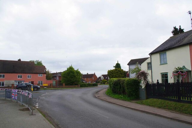
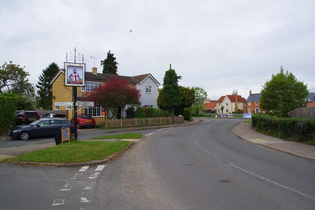
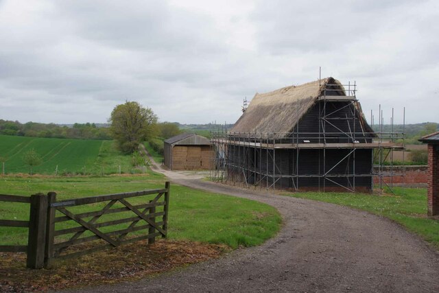
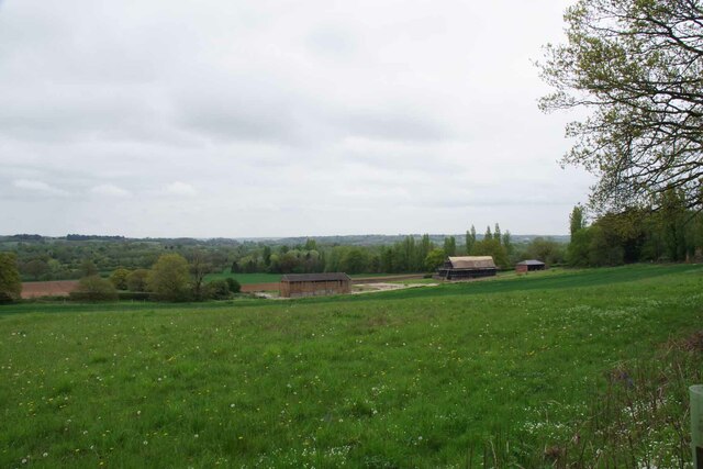
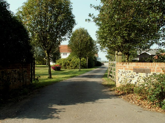
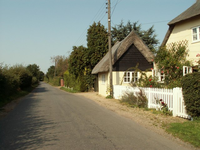
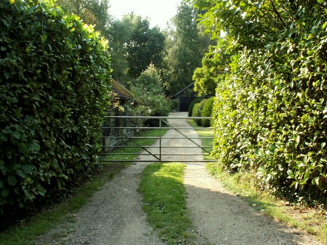
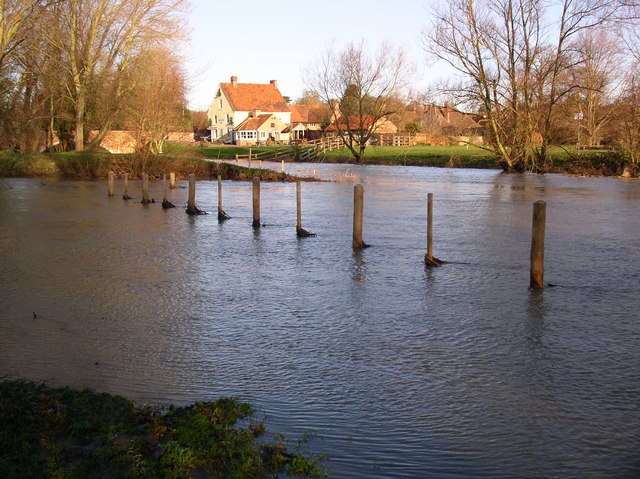
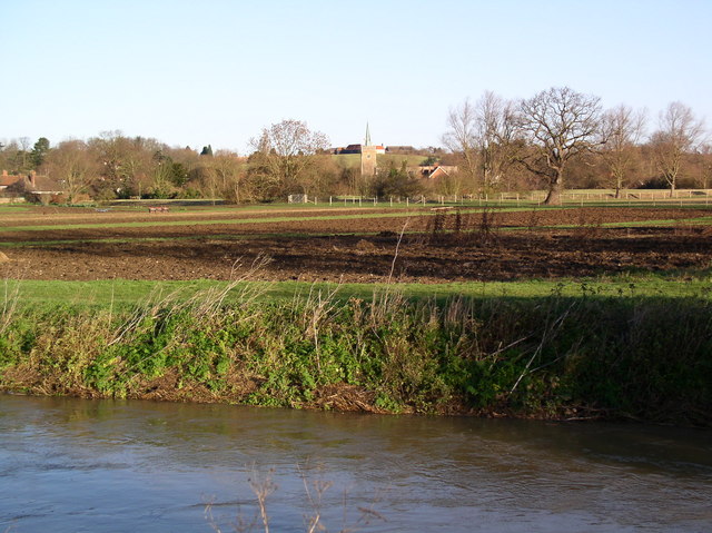
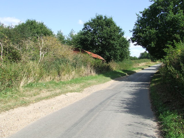
The village is surrounded by picturesque countryside, featuring rolling hills and lush green fields. Little Wood is known for its beautiful woodland areas, which provide a peaceful and serene environment for residents and visitors alike. The woodlands are home to a variety of flora and fauna, making it a popular spot for nature enthusiasts and hikers.

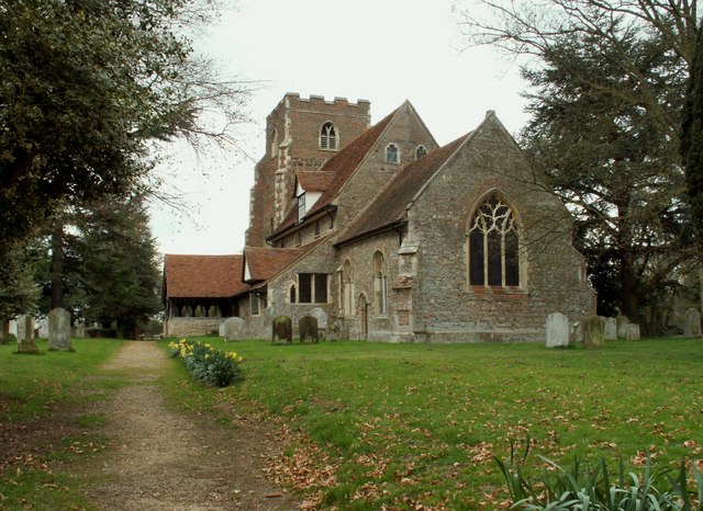
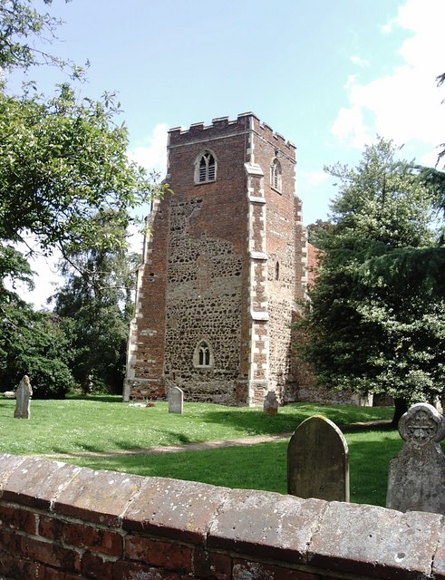
Little Wood has a rich history, with evidence of human habitation dating back thousands of years. The village is dotted with historical landmarks, such as the medieval St. Mary's Church, which is known for its intricate architecture and stained glass windows.

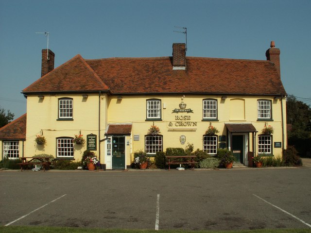
In terms of amenities, Little Wood offers a range of services to cater to its residents. There is a local primary school, a village hall, and a few small businesses, including a grocery store and a cozy pub. For those seeking more extensive amenities, the nearby towns of Colchester and Ipswich are easily accessible by car or public transportation.

Overall, Little Wood, Essex (Wood, Forest) is a tranquil village that offers a peaceful and idyllic setting, perfect for those looking to escape the hustle and bustle of city life.

If you have any feedback on the listing, please let us know in the comments section below.

Little Wood Images

Images are sourced within 2km of 51.961283/0.89371741 or Grid Reference TL9833. Thanks to Geograph Open Source API. All images are credited.

Bunting and Boxted Cross Coronation morning in Boxted Cross
Bunting and Boxted Cross
Coronation morning in Boxted Cross
The Village Sign at Boxted Cross Taken on coronation morning.
The Village Sign at Boxted Cross
Taken on coronation morning.
Rethatching a Barn At Lower Farm
Rethatching a Barn
At Lower Farm
Lower Farm Near Boxted
Lower Farm
Near Boxted
Obelisk milestone and horse trough, Nayland. The obelisk milestone giving miles to/from London, Colchester, Hadleigh, Chelmsford and Bury [St Edmunds].  The stone horse trough commemorates the crowning of King George V in 1911.
Obelisk milestone and horse trough, Nayland.
The obelisk milestone giving miles to/from London, Colchester, Hadleigh, Chelmsford and Bury [St Edmunds]. The stone horse trough commemorates the crowning of King George V in 1911.
Church House, Nayland, Suffolk This is just one of the many old listed buildings that make up the beautiful village of Nayland.
Church House, Nayland, Suffolk
This is just one of the many old listed buildings that make up the beautiful village of Nayland.
St. Peter's church, Boxted, Essex This church dates back to the Norman period and there are traces of re-used Roman brick in the fabric of its walls. It is a very interesting church, externally and internally, and it is well worth a visit. It stands to the north of the main part of the village, on high ground.
St. Peter's church, Boxted, Essex
This church dates back to the Norman period and there are traces of re-used Roman brick in the fabric of its walls. It is a very interesting church, externally and internally, and it is well worth a visit. It stands to the north of the main part of the village, on high ground.
'Rose & Crown' inn, Great Horkesley, Essex This inn dates back to the 16th century and stands by the side of the A.134 road.
'Rose & Crown' inn, Great Horkesley, Essex
This inn dates back to the 16th century and stands by the side of the A.134 road.
Coveneys Farm, Great Horkesley, Essex
Ellis Road, Boxted, Essex This country road leads to Workhouse Hill.
Ellis Road, Boxted, Essex
This country road leads to Workhouse Hill.
Brook Farm, Boxted, Essex
River Stour, Nayland, Suffolk/Essex border The River Stour, in flood, looking north to the Anchor Inn in Nayland (which is in the next square). This photo shows the point where the river and its relief channel join, south of the village.
River Stour, Nayland, Suffolk/Essex border
The River Stour, in flood, looking north to the Anchor Inn in Nayland (which is in the next square). This photo shows the point where the river and its relief channel join, south of the village.
River Stour, Nayland, Suffolk/Essex border The River Stour south of Nayland. Fields nearby are managed under a heritage scheme and ploughed by Suffolk Punch horses. Nayland church is in the distance (and in the next square).
River Stour, Nayland, Suffolk/Essex border
The River Stour south of Nayland. Fields nearby are managed under a heritage scheme and ploughed by Suffolk Punch horses. Nayland church is in the distance (and in the next square).
'The White Hart' inn, High Street, Nayland The building was originally built in the 15th Century, although the frontage was changed in 1789 to give a tunnel entrance wide enough for a carriage to pass through for the profitable coaching trade.
'The White Hart' inn, High Street, Nayland
The building was originally built in the 15th Century, although the frontage was changed in 1789 to give a tunnel entrance wide enough for a carriage to pass through for the profitable coaching trade.
The B.1087 looking towards Nayland
The tower of St Peter, Boxted The upper part of the tower is built almost entirely of brick and was completed in the early sixteenth century. The dark stones seen in the rest of the tower (which is Norman) are blocks of ferruginous gravel which would have been found locally. The irregular boundary between the brick and stone suggests that there may have been problems with the original Norman structure.
The tower of St Peter, Boxted
The upper part of the tower is built almost entirely of brick and was completed in the early sixteenth century. The dark stones seen in the rest of the tower (which is Norman) are blocks of ferruginous gravel which would have been found locally. The irregular boundary between the brick and stone suggests that there may have been problems with the original Norman structure.
Burnt Dick Hill Looking west up Burnt Dick Hill with what is marked on the O.S. 1:25:000 map as Kings Yard near to Boxted Essex.
Burnt Dick Hill
Looking west up Burnt Dick Hill with what is marked on the O.S. 1:25:000 map as Kings Yard near to Boxted Essex.
Small tributary of River Stour This is one of the many lazy little streams feeding the River Stour in the meadows between Nayland and Stratford St Mary.
Small tributary of River Stour
This is one of the many lazy little streams feeding the River Stour in the meadows between Nayland and Stratford St Mary.
Show me another place!

Little Wood is located at Grid Ref: TL9833 (Lat: 51.961283, Lng: 0.89371741)

Administrative County: Essex

District: Colchester

Police Authority: Essex

What 3 Words

///vehicle.sticking.nicknames. Near Boxted, Essex

Nearby Locations

Little Wood

Related Wikis

Boxted, Essex

Boxted is a village and civil parish in the City of Colchester district of Essex, England. It is located approximately 5 miles (8 km) north of Colchester...

Boxted House

Boxted House is a Grade II listed house in Boxted, Essex. It was built in about 1830.It was home to the advertising executive Bobby Bevan (1901-1974),...

Nayland

Nayland is a village and former civil parish, now in the parish of Nayland-with-Wissington, in the Babergh district, in the county of Suffolk, England...

Nayland-with-Wissington

Nayland-with-Wissington is a civil parish which comprises the larger village of Nayland and the adjoining rural village of Wissington (these days usually...

Little Horkesley

Little Horkesley is a civil parish in the City of Colchester district of Essex, England. It is situated approximately 4 miles north of Colchester on the...

Stoke-by-Nayland

Stoke-by-Nayland is a village and civil parish in the Babergh district, in the county of Suffolk, England, close to the border with Essex. The parish includes...

Thorington Street

Thorington Street is a large hamlet on the B1068 road, in the Babergh district, in the English county of Suffolk. The hamlet is part of the civil parish...

Little Horkesley Priory

Little Horkesley Priory was a priory of Cluniac monks in Essex, England. It was an alien priory, a daughter house of Thetford, Norfolk and dependent on...

Nearby Amenities

Located within 500m of 51.961283,0.89371741
The data included in this document is from www.openstreetmap.org. The data is made available under ODbL.

Have you been to Little Wood?

Leave your review of Little Wood below (or comments, questions and feedback).