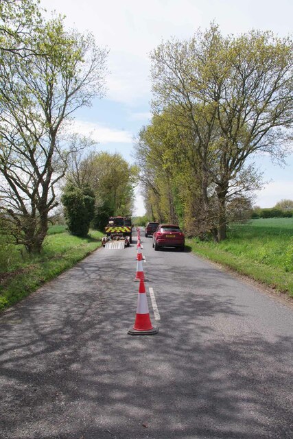
Lower Lodge Plantation
Wood, Forest in Suffolk Babergh
England
Lower Lodge Plantation
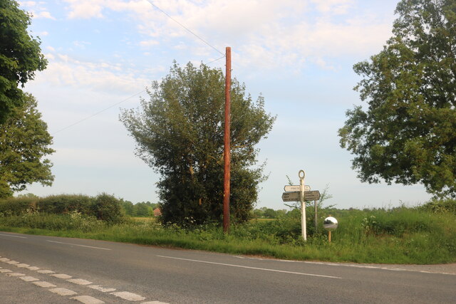
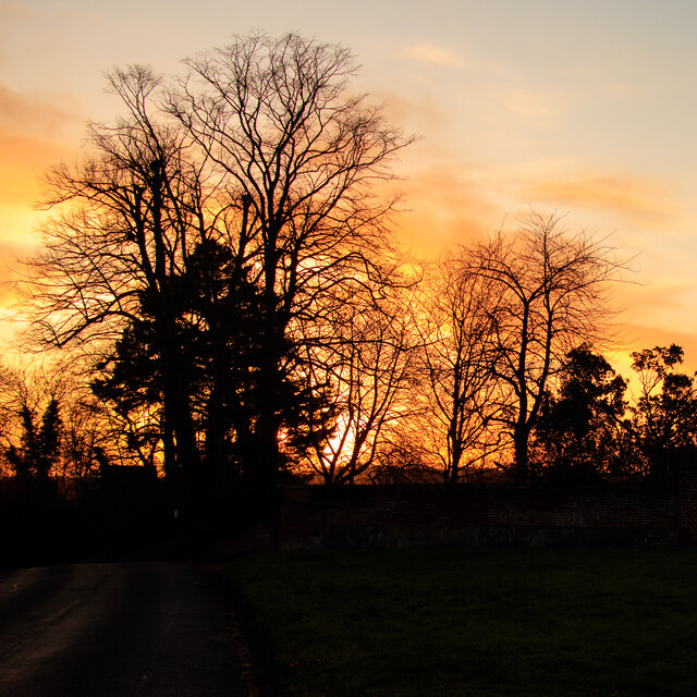
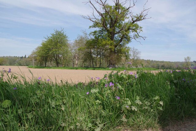
Lower Lodge Plantation is a picturesque woodland area located in Suffolk, England. Covering an area of approximately 100 acres, it is a stunning example of a well-preserved forest ecosystem. The plantation is situated in a rural area, surrounded by rolling hills and open countryside, creating a tranquil and serene atmosphere.
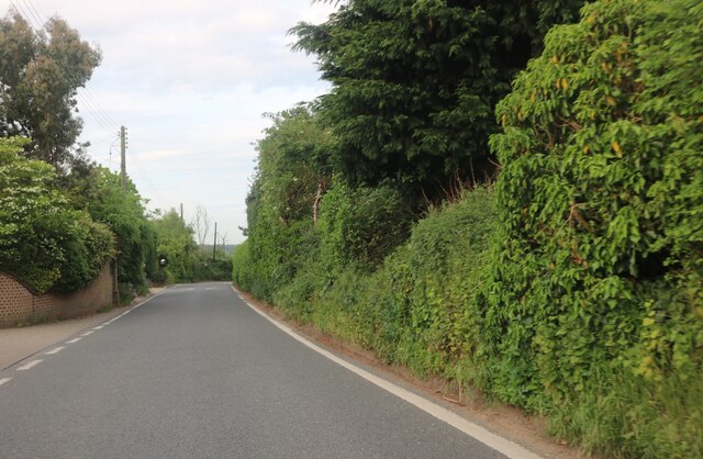
The woodland is predominantly composed of native tree species, such as oak, beech, and birch. These trees provide a dense canopy, creating shaded areas beneath them. The forest floor is covered in a lush carpet of ferns, wildflowers, and mosses, adding to the enchanting beauty of the landscape.
Lower Lodge Plantation is a haven for a wide variety of wildlife. The dense vegetation provides excellent habitat and shelter for numerous bird species, including woodpeckers, owls, and various songbirds. Squirrels and rabbits can be spotted darting through the undergrowth, while deer occasionally roam through the woodland, adding a touch of wildness to the area.
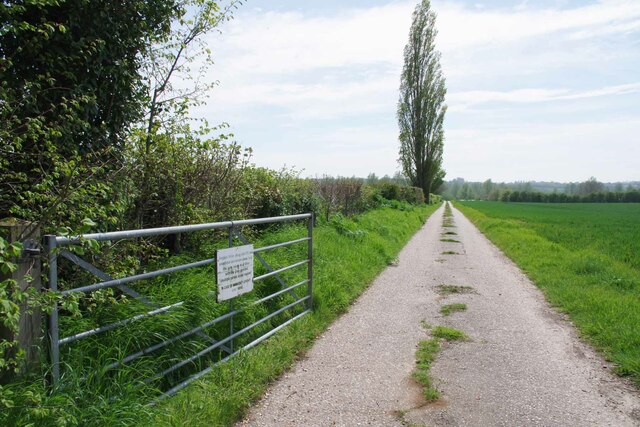
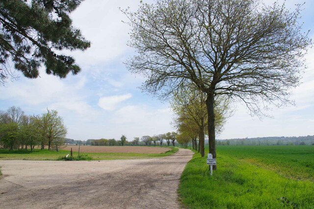
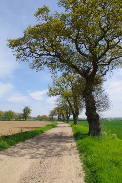
The plantation boasts several well-maintained trails and footpaths, allowing visitors to explore the woodland and immerse themselves in nature. These paths wind through the forest, leading to secluded clearings and hidden glens, offering breathtaking views of the surrounding countryside.
Lower Lodge Plantation is a popular destination for nature enthusiasts, hikers, and photographers. Its natural beauty and tranquility make it an ideal location for outdoor activities, such as picnicking, birdwatching, and nature photography. It offers a peaceful retreat from the hustle and bustle of everyday life, providing a sanctuary for both wildlife and humans alike.
If you have any feedback on the listing, please let us know in the comments section below.
Lower Lodge Plantation Images
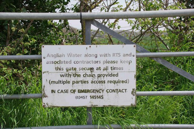
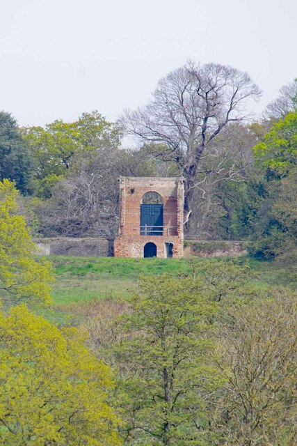
Images are sourced within 2km of 51.982042/0.89179339 or Grid Reference TL9835. Thanks to Geograph Open Source API. All images are credited.


Lower Lodge Plantation is located at Grid Ref: TL9835 (Lat: 51.982042, Lng: 0.89179339)
Administrative County: Suffolk
District: Babergh
Police Authority: Suffolk
What 3 Words
///gardens.sandbags.noting. Near Boxted, Essex
Nearby Locations
Related Wikis

Stoke-by-Nayland
Stoke-by-Nayland is a village and civil parish in the Babergh district, in the county of Suffolk, England, close to the border with Essex. The parish includes...

St Mary's Church, Stoke-by-Nayland
St Mary's Church is a Grade I listed parish church in the Church of England in Stoke-by-Nayland. == History == The earliest parts of the church date from...
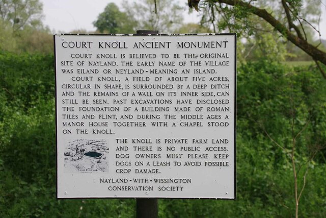
Nayland
Nayland is a village and former civil parish, now in the parish of Nayland-with-Wissington, in the Babergh district, in the county of Suffolk, England...

South Suffolk (UK Parliament constituency)
South Suffolk is a constituency represented in the House of Commons of the UK Parliament since 2015 by James Cartlidge, a Conservative. == History == South...
Have you been to Lower Lodge Plantation?
Leave your review of Lower Lodge Plantation below (or comments, questions and feedback).