Forest Mill

Settlement in Clackmannanshire

Scotland

Forest Mill

George Russell Construction Meadowhill Site
George Russell Construction Meadowhill Site Credit: Steven Brown

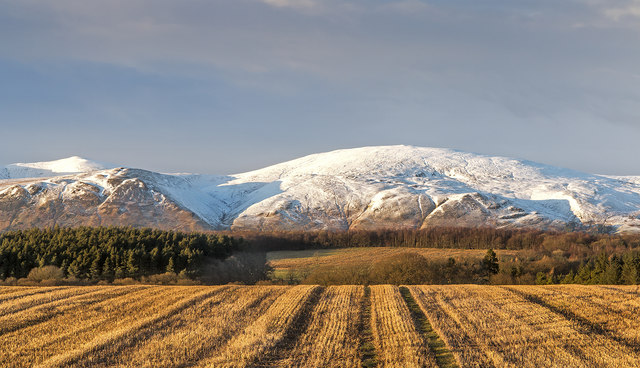
Forest Mill is a small village located in the county of Clackmannanshire, Scotland. Situated about 4 miles northwest of Alva, the village is nestled in the beautiful Ochil Hills, providing breathtaking views and a serene environment for its residents.

The village takes its name from the historic Forest Mill, which was once a bustling textile mill during the 19th century. Today, the mill serves as a reminder of the village's industrial past and is listed as a Category B building of historical importance.

Forest Mill is primarily a residential area, with a close-knit community of approximately 500 inhabitants. The village offers a peaceful and picturesque setting, attracting those looking for a quieter lifestyle away from the hustle and bustle of larger towns and cities.

Despite its small size, Forest Mill boasts a range of amenities to cater to its residents' needs. These include a local primary school, a post office, and a community hall that serves as a hub for various social and recreational activities. Additionally, the village is well-connected to nearby towns and cities through a reliable public transportation network.

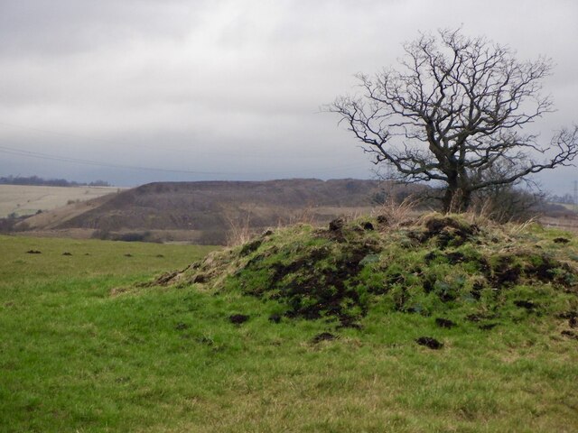
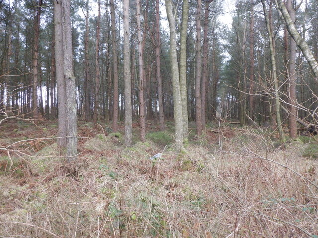
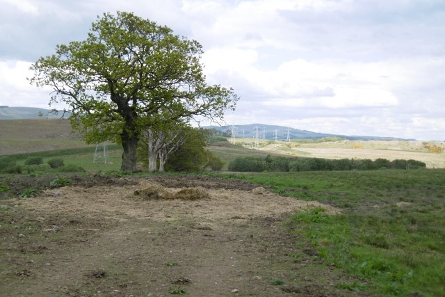
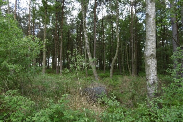
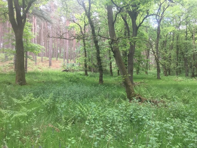
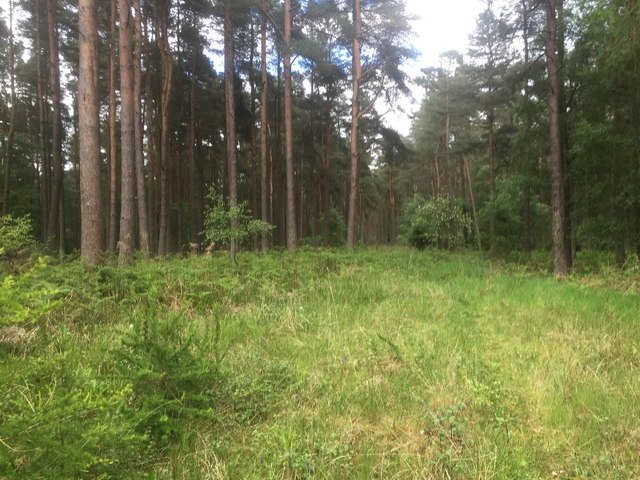
Nature enthusiasts are drawn to Forest Mill due to its proximity to the Ochil Hills, which provide ample opportunities for outdoor activities such as hiking and cycling. The surrounding countryside also offers beautiful walking trails and scenic picnic spots, making it an ideal location for nature lovers.

In summary, Forest Mill is a charming village in Clackmannanshire, Scotland, known for its tranquil atmosphere, stunning natural surroundings, and a close-knit community.

If you have any feedback on the listing, please let us know in the comments section below.
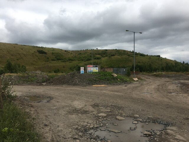
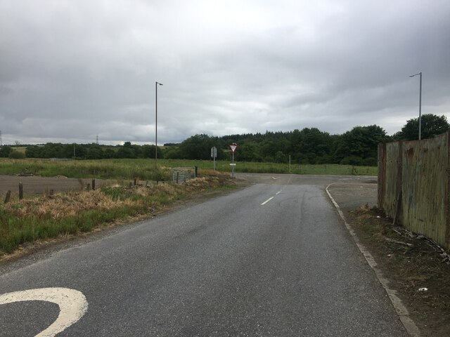
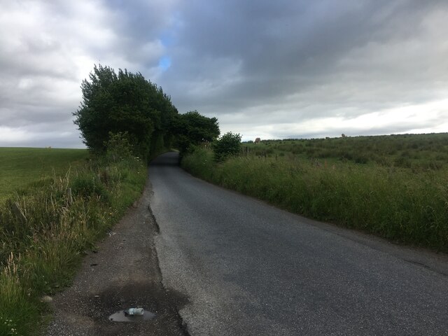
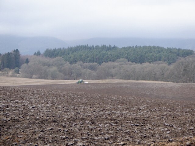
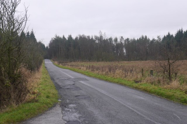
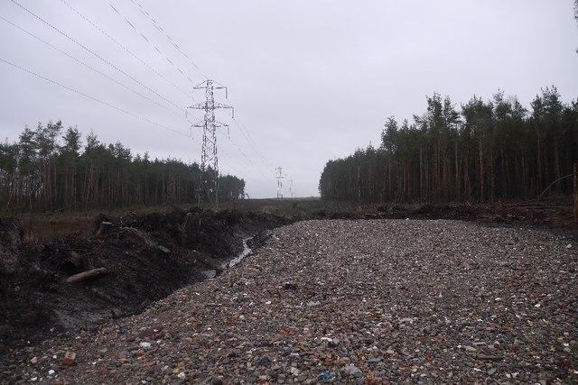
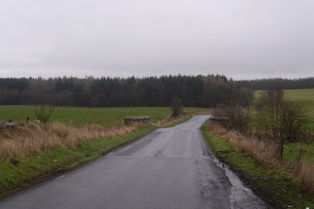
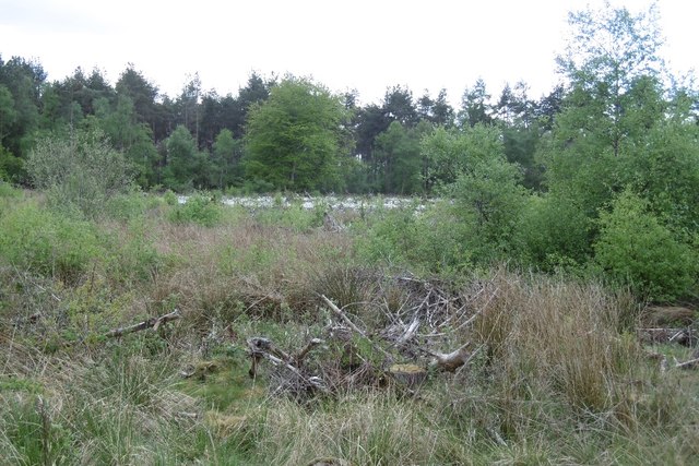
Forest Mill Images

Images are sourced within 2km of 56.125759/-3.6878778 or Grid Reference NS9593. Thanks to Geograph Open Source API. All images are credited.

George Russell Construction Meadowhill Site
Road junction, Forestmill
Minor road near Forestmill
Minor road near Aberdona
Ploughing, Gartlove A large field surrounded by conifer plantations.
Ploughing, Gartlove
A large field surrounded by conifer plantations.
Former boundary, Gartgreenie The trees mark the line of a fence or hedge, now missing. The mound has appeared since <a href="https://www.geograph.org.uk/photo/5739220">NS9693 : Former boundary, Gartgreenie</a>.
Former boundary, Gartgreenie
The trees mark the line of a fence or hedge, now missing. The mound has appeared since NS9693 : Former boundary, Gartgreenie.
Fearns Wood View from beside a litter strewn layby.
Fearns Wood
View from beside a litter strewn layby.
Farmland near Gartlove Stubble on agricultural land near Gartlove, surrounded by forestry. In the distance, the south-facing escarpment of the Ochil Hills, with its higher ground dusted with snow.
Farmland near Gartlove
Stubble on agricultural land near Gartlove, surrounded by forestry. In the distance, the south-facing escarpment of the Ochil Hills, with its higher ground dusted with snow.
Castlebridge Colliery Castlebridge Colliery- tower (grey, background) and office buildings (blue, foreground). Features warehouses (brown, left) which latterly formed east side of Castlebridge Business Park.
Castlebridge Colliery
Castlebridge Colliery- tower (grey, background) and office buildings (blue, foreground). Features warehouses (brown, left) which latterly formed east side of Castlebridge Business Park.
Road and Cow Hill In the direction of Forest Mill, looking over wet pasture towards Aberdona woodlands.
Road and Cow Hill
In the direction of Forest Mill, looking over wet pasture towards Aberdona woodlands.
New hardcore, Cow Wood Newly installed timber loading point.
New hardcore, Cow Wood
Newly installed timber loading point.
Gartreilly Burn Crossing the burn with Aberdona Woods in the background.
Gartreilly Burn
Crossing the burn with Aberdona Woods in the background.
Gartgreenie Wood A block of conifers was felled here a few years earlier. It's damp and willows are getting a foothold.
Gartgreenie Wood
A block of conifers was felled here a few years earlier. It's damp and willows are getting a foothold.
Former boundary, Gartgreenie A line of trees where the maps show a boundary.
Former boundary, Gartgreenie
A line of trees where the maps show a boundary.
Fearns Wood
Fearns Wood
Birkhill Plantation The oak wood in the foreground is damp underfoot, the better drained slopes ahead are planted with Scots pine.
Birkhill Plantation
The oak wood in the foreground is damp underfoot, the better drained slopes ahead are planted with Scots pine.
Birkhill Plantation Scots pine woodland.
Birkhill Plantation
Scots pine woodland.
Cow Wood The woodland is now home to huts and caravans.
Cow Wood
The woodland is now home to huts and caravans.
Show me another place!

Forest Mill is located at Grid Ref: NS9593 (Lat: 56.125759, Lng: -3.6878778)

Unitary Authority: Clackmannanshire

Police Authority: Forth Valley

Also known as: Forestmill

What 3 Words

///acted.double.ironic. Near Clackmannan, Clackmannanshire

Related Wikis

Forestmill

Forestmill (or Forest Mill) is a small hamlet in the county of Clackmannanshire, Scotland. It is situated on the A977 road between Kincardine and Kinross...

Forest Mill railway station

Forest Mill railway station served the hamlet of Forestmill, Clackmannanshire, Scotland from 1850 to 1930 on the Stirling and Dunfermline Railway. ��2...

Brucefield House

Brucefield is an 18th-century country house in Clackmannanshire, Scotland. It is located 4 kilometres (2.5 mi) east of Clackmannan. The house was largely...

Gartmorn Dam

Gartmorn Dam is an artificial freshwater lake north-east of Alloa, Clackmannanshire, Scotland, UK, built in 1711-12 as a reservoir to supply water to hydraulic...

Clackmannan Road railway station

Clackmannan Road railway station served the town of Clackmannan, Clackmannanshire, Scotland from 1850 to 1921 on the Stirling and Dunfermline Railway....

Coalsnaughton

Coalsnaughton or Calibar (Scottish Gaelic: Caolas Neachdainn) is a village in Clackmannanshire, Scotland. It is just south of Tillicoultry of which it...

Kennet, Clackmannanshire

Kennet is a small former coal-mining village in Clackmannanshire, Scotland. It is located 1.5 kilometres (0.93 mi) south-east of Clackmannan, by the Kincardine...

Devon Way

Devon Way is a pathway in Clackmannanshire, Central Scotland. It lies on the southern section of the former Devon Valley Railway from Dollar to Tillicoultry...

Nearby Amenities

Located within 500m of 56.125759,-3.6878778
Forestmill
Alt Name: Forest Mill
Note: Forestmill is expected to be expanded into a large village soon.
Place: hamlet
Population: 55
Source: npe
Wikidata: Q20027853
Wikipedia: en:Forestmill
Lat/Long: 56.1256191/-3.6863295
Cafe
Loganlea
Cuisine: coffee_shop
Lat/Long: 56.1257311/-3.6877987
Power: pole
Lat/Long: 56.1271182/-3.6812951
Power: pole
Lat/Long: 56.1266169/-3.6817678
Power: pole
Lat/Long: 56.1258824/-3.6826045
Power: pole
Lat/Long: 56.1253437/-3.6832153
Power: pole
Lat/Long: 56.1244996/-3.6841608
Power: pole
Lat/Long: 56.1238234/-3.684964
Power: pole
Lat/Long: 56.1231751/-3.6856919
Power: pole
Lat/Long: 56.1224242/-3.6862713
Power: pole
Lat/Long: 56.1216512/-3.6868905
Power: pole
Lat/Long: 56.1255979/-3.6841398
Power: pole
Lat/Long: 56.1258882/-3.6854514
Power: pole
Lat/Long: 56.1259348/-3.6866959
Power: pole
Lat/Long: 56.1283609/-3.6933006
Power: pole
Lat/Long: 56.1284052/-3.6921564
Power: pole
Lat/Long: 56.1282374/-3.6905312
Power: pole
Lat/Long: 56.1281068/-3.6891862
Power: pole
Lat/Long: 56.1279832/-3.6878684
Power: pole
Lat/Long: 56.1277232/-3.6866468
Power: pole
Lat/Long: 56.1274598/-3.6854482
Power: pole
Lat/Long: 56.1272406/-3.6845195
Power: pole
Lat/Long: 56.1268722/-3.6828628
Post Box
Collection Times: Mo-Fr 12:00; Sa 10:30
Operator: Royal Mail
Post Box Type: lamp
Ref: FK10 18
Royal Cypher: scottish_crown
Lat/Long: 56.1252155/-3.6865567
Information: board
Tourism: information
Lat/Long: 56.1251877/-3.6864994
Generator Method: photovoltaic
Generator Output Electricity: yes
Generator Source: solar
Generator Type: solar_photovoltaic_panel
Power: generator
Lat/Long: 56.124878/-3.6868922
Generator Method: photovoltaic
Generator Output Electricity: yes
Generator Source: solar
Generator Type: solar_photovoltaic_panel
Power: generator
Lat/Long: 56.1247887/-3.6865021
Generator Method: photovoltaic
Generator Output Electricity: yes
Generator Source: solar
Generator Type: solar_photovoltaic_panel
Power: generator
Lat/Long: 56.1248328/-3.6863367
Generator Method: photovoltaic
Generator Output Electricity: yes
Generator Source: solar
Generator Type: solar_photovoltaic_panel
Power: generator
Lat/Long: 56.1248844/-3.6861615
The data included in this document is from www.openstreetmap.org. The data is made available under ODbL.

Have you been to Forest Mill?

Leave your review of Forest Mill below (or comments, questions and feedback).