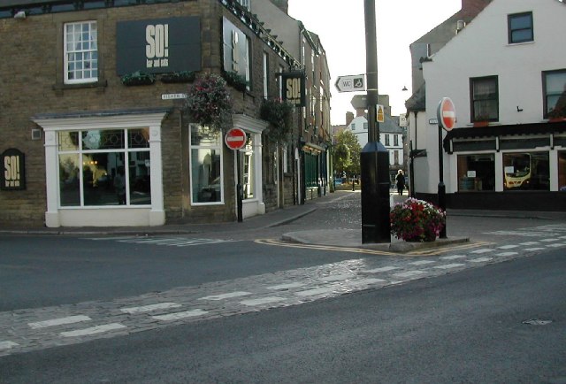
Forest Lane Head
Settlement in Yorkshire Harrogate
England
Forest Lane Head
Forest Lane Head is a small village located in the county of Yorkshire, England. Situated in the countryside, it is surrounded by lush green fields and picturesque landscapes. The village is part of the larger metropolitan borough of Kirklees and falls within the civil parish of Kirkburton.
Despite its small size, Forest Lane Head has a rich history that dates back several centuries. It was originally a farming community, with agriculture being the primary occupation of its residents. Over time, the village has evolved and adapted to the changing times, but it has managed to retain its rural charm and character.
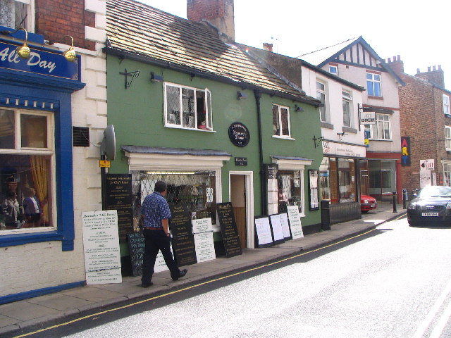
The village is well-known for its close-knit community and friendly atmosphere. It boasts a range of amenities, including a local pub, a village hall, and a primary school. The pub serves as a social hub for residents, providing a space for gatherings and events.
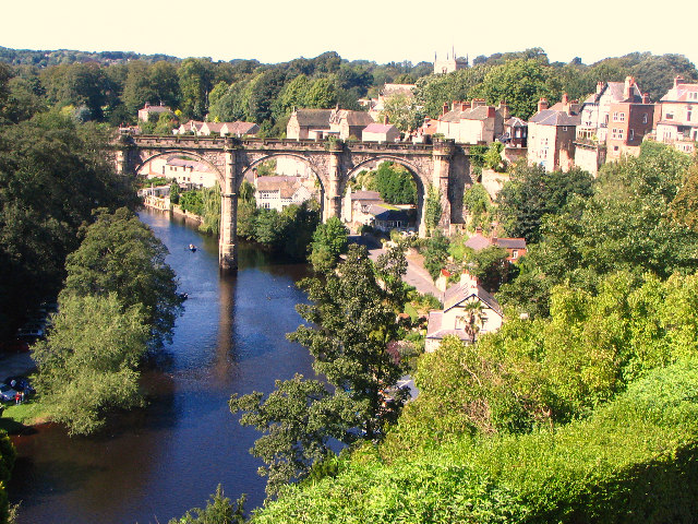
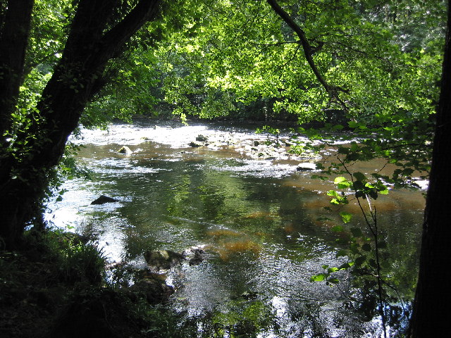
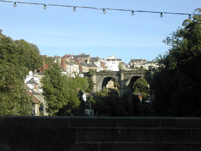
Nature lovers are drawn to Forest Lane Head due to its proximity to stunning natural beauty. The surrounding countryside offers numerous walking paths and trails, allowing residents and visitors to explore the area's flora and fauna. Additionally, the village is located near several nature reserves and parks, providing further opportunities for outdoor activities.
Overall, Forest Lane Head offers a peaceful and idyllic setting for those seeking a quiet village lifestyle, while still being within reach of larger towns and cities. Its rich history, strong community spirit, and natural beauty make it a charming place to live or visit in Yorkshire.
If you have any feedback on the listing, please let us know in the comments section below.
Forest Lane Head Images
Images are sourced within 2km of 54.002836/-1.494515 or Grid Reference SE3356. Thanks to Geograph Open Source API. All images are credited.


Forest Lane Head is located at Grid Ref: SE3356 (Lat: 54.002836, Lng: -1.494515)
Division: West Riding
Administrative County: North Yorkshire
District: Harrogate
Police Authority: North Yorkshire
What 3 Words
///flute.harmony.plums. Near Knaresborough, North Yorkshire
Nearby Locations
Related Wikis

St Andrew's Church, Starbeck
St Andrew's Church is in High Street, Starbeck, Harrogate, North Yorkshire, England. It is an active Anglican parish church in the deanery of Harrogate...

Daleside Brewery
Daleside is an independent brewery founded in 1988 in Harrogate, North Yorkshire, England. == History == Daleside Brewery was established in the mid 1980s...
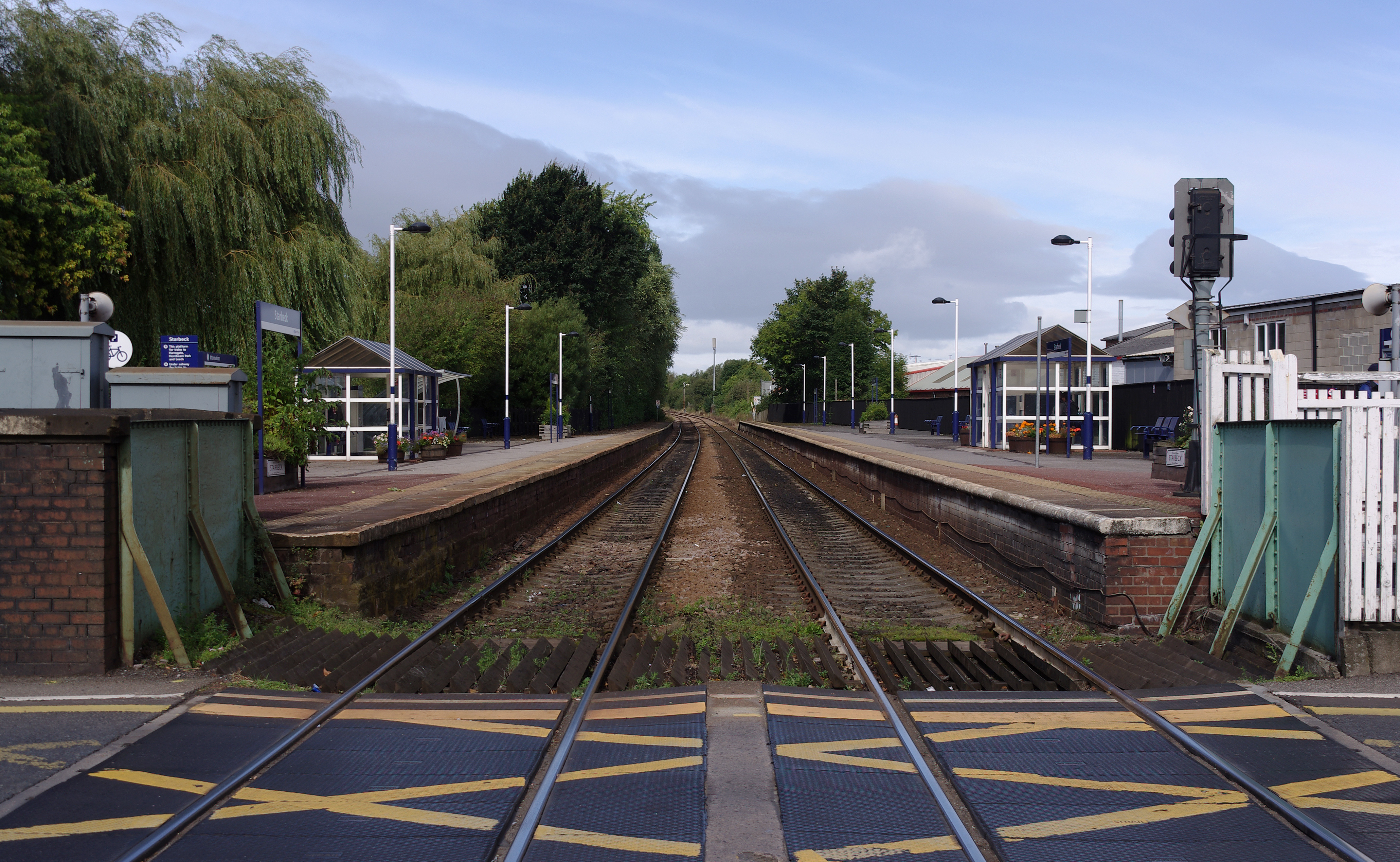
Starbeck railway station
Starbeck is a railway station on the Harrogate Line, which runs between Leeds and York via Harrogate. The station, situated 18+1⁄4 miles (29 km) west of...
Great Yorkshire Railway Preservation Society
The Great Yorkshire Railway Preservation Society was a short-lived preservation scheme, based in Starbeck, North Yorkshire in England. It was formed in...
Harrogate Railway Athletic F.C.
Harrogate Railway Athletic Football Club is a football club based in Harrogate, North Yorkshire, England. They are currently members of the Northern Counties...
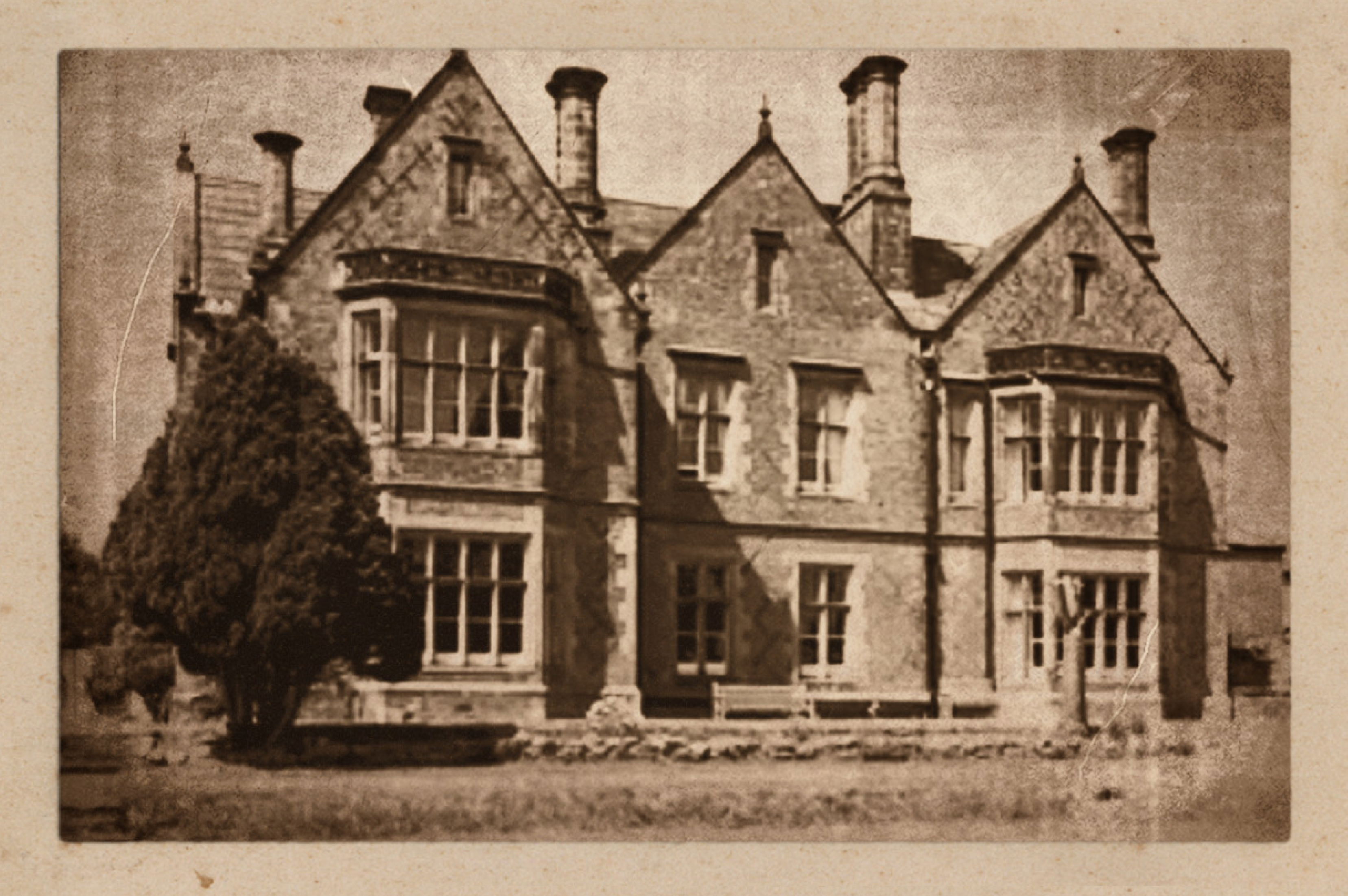
Bilton Hall (North Yorkshire)
Bilton Hall is a Grade II listed large country house near Harrogate, North Yorkshire. It was historically the home of the prominent Stockdale family, of...

Nidd Gorge
Nidd Gorge makes up a section of the River Nidd in North Yorkshire, England, in which the river enters a deep ravine with sheer tree-covered valley sides...

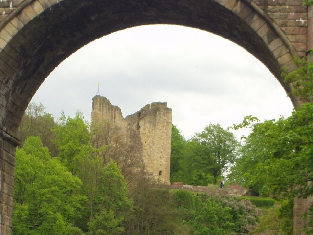
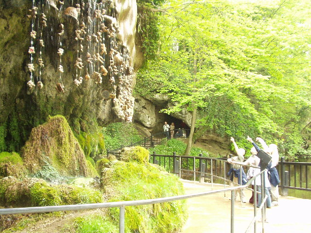
Mother Shipton's Cave
Mother Shipton's Cave (or "Old Mother Shipton's Cave") is at Knaresborough, North Yorkshire, England, near the River Nidd. Nearby is a petrifying well...
Nearby Amenities
Located within 500m of 54.002836,-1.494515Have you been to Forest Lane Head?
Leave your review of Forest Lane Head below (or comments, questions and feedback).