Conyer Wood

Wood, Forest in Kent Ashford

England

Conyer Wood

Home Farm
Home Farm Credit: N Chadwick

Conyer Wood is a picturesque woodland located in the county of Kent, England. It is situated near the village of Conyer, which lies on the northern bank of the River Swale, approximately 8 miles east of the town of Sittingbourne. Covering an area of around 80 acres, Conyer Wood is a designated Site of Special Scientific Interest (SSSI) due to its rich biodiversity and historical significance.

The woodland is predominantly composed of mixed broadleaf trees, including oak, ash, and beech, creating a diverse and enchanting habitat for various flora and fauna. The forest floor is adorned with a carpet of bluebells in the spring, adding to the wood's natural charm.

Walking trails wind through the woods, offering visitors the opportunity to immerse themselves in nature and explore the tranquil surroundings. The paths are well-maintained, making Conyer Wood accessible to both casual strollers and more experienced hikers.

The woodland also boasts a variety of wildlife, including deer, foxes, and a plethora of bird species. Birdwatchers will be delighted by the presence of woodpeckers, owls, and warblers. The wood's proximity to the river attracts waterfowl such as herons and swans.

Conyer Wood is not only a haven for nature enthusiasts but also holds historical significance. It was once part of an extensive medieval hunting forest, providing a glimpse into the region's past. Today, the wood is managed by a local authority to preserve its unique ecosystem and ensure its enjoyment for generations to come.

In conclusion, Conyer Wood offers a peaceful retreat from the bustling towns and cities, allowing visitors to connect with nature and experience the beauty of Kent's woodlands.

If you have any feedback on the listing, please let us know in the comments section below.
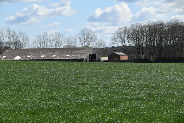
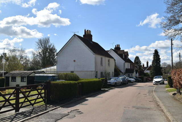
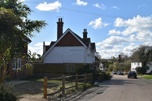
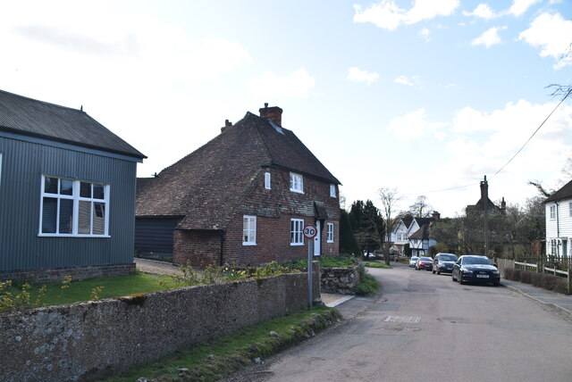
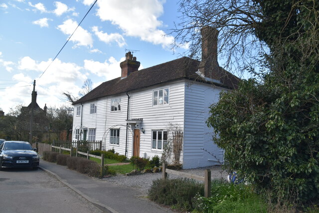
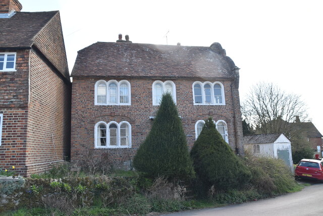
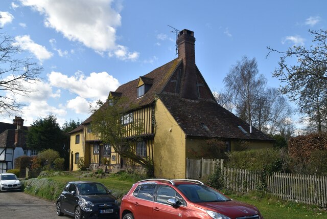
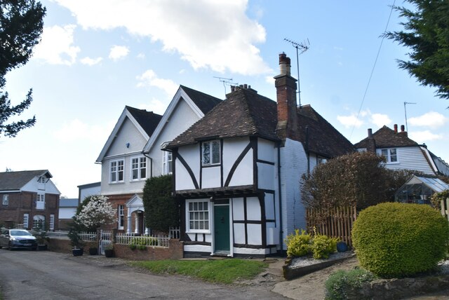
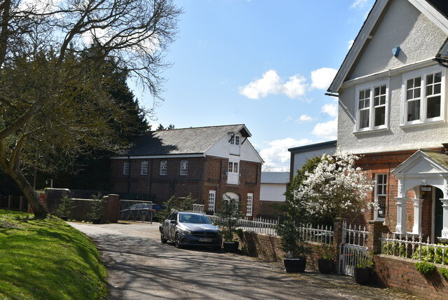
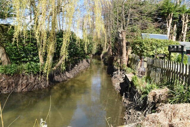
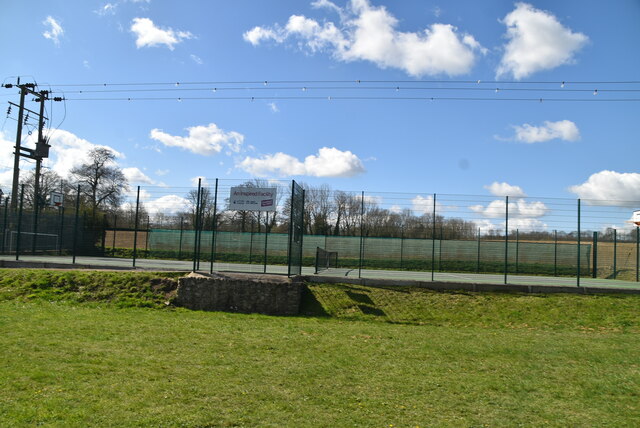
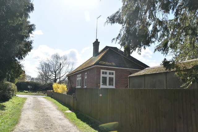
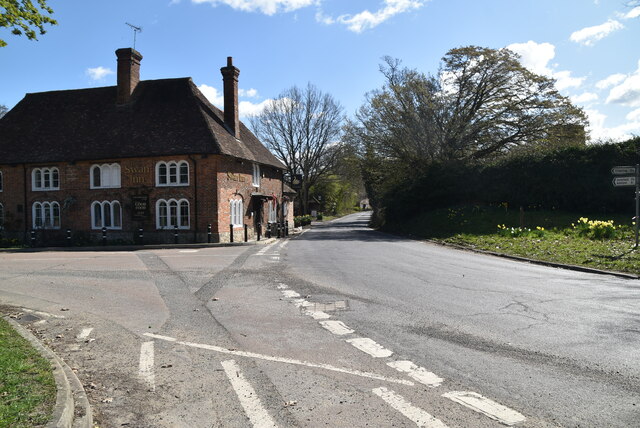
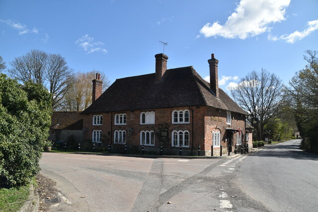
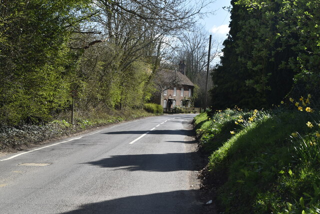
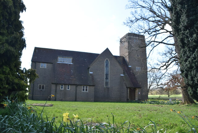
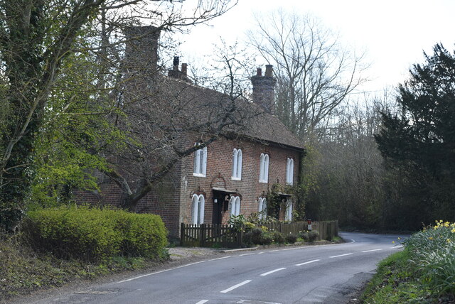
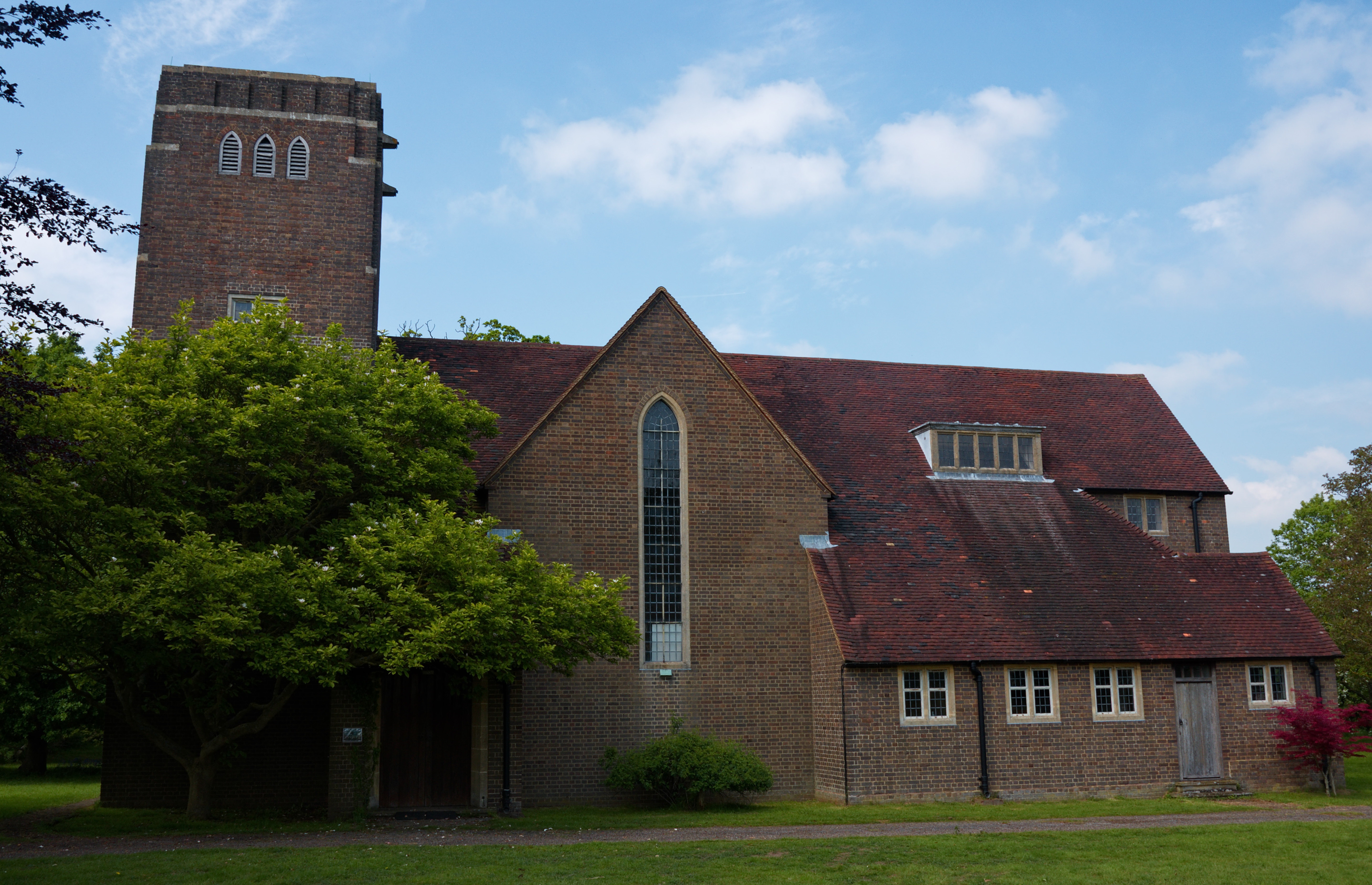
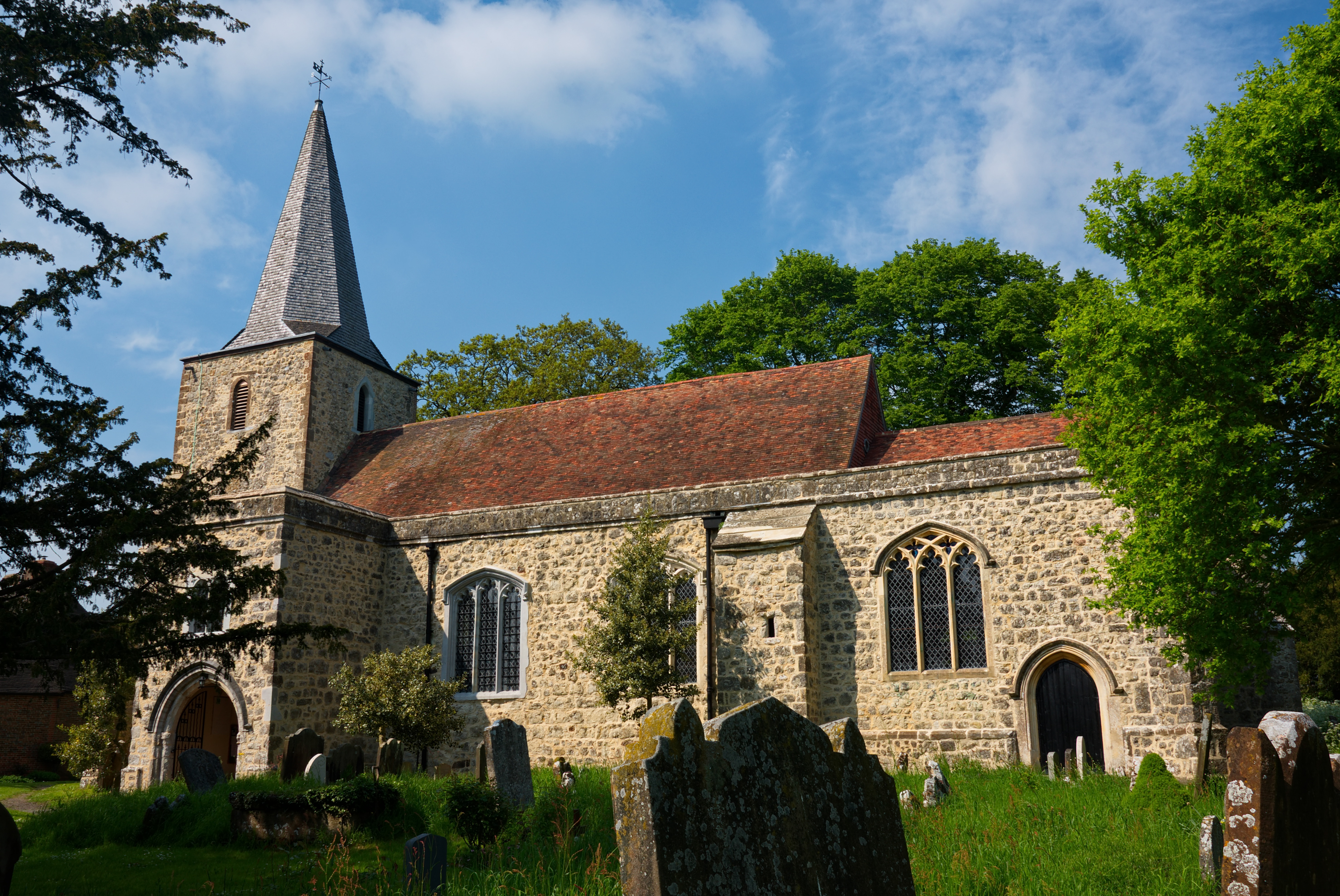
Conyer Wood Images

Images are sourced within 2km of 51.172097/0.80370859 or Grid Reference TQ9645. Thanks to Geograph Open Source API. All images are credited.

Home Farm
Home Farm
Little Chart Little Chart is a small village about 4 miles north west of Ashford.
Wikipedia: <span class="nowrap"><a title="https://en.wikipedia.org/wiki/Little_Chart" rel="nofollow ugc noopener" href="https://en.wikipedia.org/wiki/Little_Chart">Link</a><img style="margin-left:2px;" alt="External link" title="External link - shift click to open in new window" src="https://s1.geograph.org.uk/img/external.png" width="10" height="10"/></span>
Little Chart
Little Chart is a small village about 4 miles north west of Ashford. Wikipedia: LinkExternal link
The Old Post Office Little Chart is a small village about 4 miles north west of Ashford.
Wikipedia: <span class="nowrap"><a title="https://en.wikipedia.org/wiki/Little_Chart" rel="nofollow ugc noopener" href="https://en.wikipedia.org/wiki/Little_Chart">Link</a><img style="margin-left:2px;" alt="External link" title="External link - shift click to open in new window" src="https://s1.geograph.org.uk/img/external.png" width="10" height="10"/></span>
The Old Post Office
Little Chart is a small village about 4 miles north west of Ashford. Wikipedia: LinkExternal link
The Nook Grade II listed.
The Nook
Grade II listed.
The White House Listed buildings and structures are officially designated as being of special architectural, historical or cultural significance. There are over half a million listed structures in the United Kingdom, covered by around 375,000 listings.
Listed status is more commonly associated with buildings or groups of buildings, however it can cover many other structures, including bridges, headstones, steps, ponds, monuments, walls, phone boxes, wrecks, parks, and heritage sites, and in more recent times a road crossing (Abbey Road) and graffiti art (Banksy 'Spy-booth') have been included.

In England and Wales there are three main listing designations;
Grade I (2.5%) - exceptional interest, sometimes considered to be internationally important.
Grade II* (5.5%) - particularly important buildings of more than special interest. 
Grade II (92%) - nationally important and of special interest. 

There are also locally listed structures (at the discretion of local authorities) using A, B and C designations.

In Scotland three classifications are also used but the criteria are different. There are around 47,500 Listed buildings.
Category A (8%)- generally equivalent to Grade I and II* in England and Wales
Category B (51%)- this appears generally to cover the ground of Grade II, recognising national importance.
Category C (41%)- buildings of local importance, probably with some overlap with English Grade II.

In Northern Ireland the criteria are similar to Scotland, but the classifications are:
Grade A (2.3%)
Grade B+ (4.7%)
Grade B (93%)

Read more at Wikipedia <span class="nowrap"><a title="http://en.wikipedia.org/wiki/Listed_building" rel="nofollow ugc noopener" href="http://en.wikipedia.org/wiki/Listed_building">Link</a><img style="margin-left:2px;" alt="External link" title="External link - shift click to open in new window" src="https://s1.geograph.org.uk/img/external.png" width="10" height="10"/></span>
The White House
Listed buildings and structures are officially designated as being of special architectural, historical or cultural significance. There are over half a million listed structures in the United Kingdom, covered by around 375,000 listings. Listed status is more commonly associated with buildings or groups of buildings, however it can cover many other structures, including bridges, headstones, steps, ponds, monuments, walls, phone boxes, wrecks, parks, and heritage sites, and in more recent times a road crossing (Abbey Road) and graffiti art (Banksy 'Spy-booth') have been included. In England and Wales there are three main listing designations; Grade I (2.5%) - exceptional interest, sometimes considered to be internationally important. Grade II* (5.5%) - particularly important buildings of more than special interest. Grade II (92%) - nationally important and of special interest. There are also locally listed structures (at the discretion of local authorities) using A, B and C designations. In Scotland three classifications are also used but the criteria are different. There are around 47,500 Listed buildings. Category A (8%)- generally equivalent to Grade I and II* in England and Wales Category B (51%)- this appears generally to cover the ground of Grade II, recognising national importance. Category C (41%)- buildings of local importance, probably with some overlap with English Grade II. In Northern Ireland the criteria are similar to Scotland, but the classifications are: Grade A (2.3%) Grade B+ (4.7%) Grade B (93%) Read more at Wikipedia LinkExternal link
The Cottage Grade II listed.
The Cottage
Grade II listed.
The Bank Grade II listed.
The Bank
Grade II listed.
Mill Cottage Grade II listed.
Mill Cottage
Grade II listed.
Ford Mill Little Chart is a small village about 4 miles north west of Ashford.
Wikipedia: <span class="nowrap"><a title="https://en.wikipedia.org/wiki/Little_Chart" rel="nofollow ugc noopener" href="https://en.wikipedia.org/wiki/Little_Chart">Link</a><img style="margin-left:2px;" alt="External link" title="External link - shift click to open in new window" src="https://s1.geograph.org.uk/img/external.png" width="10" height="10"/></span>
Ford Mill
Little Chart is a small village about 4 miles north west of Ashford. Wikipedia: LinkExternal link
The Great Stour The principal branch of the River Stour system in Kent, the river bears this name between Ashford and Canterbury.
The Great Stour
The principal branch of the River Stour system in Kent, the river bears this name between Ashford and Canterbury.
Tennis Court, Little Chart Little Chart is a small village about 4 miles north west of Ashford.
Wikipedia: <span class="nowrap"><a title="https://en.wikipedia.org/wiki/Little_Chart" rel="nofollow ugc noopener" href="https://en.wikipedia.org/wiki/Little_Chart">Link</a><img style="margin-left:2px;" alt="External link" title="External link - shift click to open in new window" src="https://s1.geograph.org.uk/img/external.png" width="10" height="10"/></span>
Tennis Court, Little Chart
Little Chart is a small village about 4 miles north west of Ashford. Wikipedia: LinkExternal link
Rockhurst Little Chart is a small village about 4 miles north west of Ashford.
Wikipedia: <span class="nowrap"><a title="https://en.wikipedia.org/wiki/Little_Chart" rel="nofollow ugc noopener" href="https://en.wikipedia.org/wiki/Little_Chart">Link</a><img style="margin-left:2px;" alt="External link" title="External link - shift click to open in new window" src="https://s1.geograph.org.uk/img/external.png" width="10" height="10"/></span>
Rockhurst
Little Chart is a small village about 4 miles north west of Ashford. Wikipedia: LinkExternal link
Road junction, Little Chart
The Swan Listed buildings and structures are officially designated as being of special architectural, historical or cultural significance. There are over half a million listed structures in the United Kingdom, covered by around 375,000 listings.
Listed status is more commonly associated with buildings or groups of buildings, however it can cover many other structures, including bridges, headstones, steps, ponds, monuments, walls, phone boxes, wrecks, parks, and heritage sites, and in more recent times a road crossing (Abbey Road) and graffiti art (Banksy 'Spy-booth') have been included.

In England and Wales there are three main listing designations;
Grade I (2.5%) - exceptional interest, sometimes considered to be internationally important.
Grade II* (5.5%) - particularly important buildings of more than special interest. 
Grade II (92%) - nationally important and of special interest. 

There are also locally listed structures (at the discretion of local authorities) using A, B and C designations.

In Scotland three classifications are also used but the criteria are different. There are around 47,500 Listed buildings.
Category A (8%)- generally equivalent to Grade I and II* in England and Wales
Category B (51%)- this appears generally to cover the ground of Grade II, recognising national importance.
Category C (41%)- buildings of local importance, probably with some overlap with English Grade II.

In Northern Ireland the criteria are similar to Scotland, but the classifications are:
Grade A (2.3%)
Grade B+ (4.7%)
Grade B (93%)

Read more at Wikipedia <span class="nowrap"><a title="http://en.wikipedia.org/wiki/Listed_building" rel="nofollow ugc noopener" href="http://en.wikipedia.org/wiki/Listed_building">Link</a><img style="margin-left:2px;" alt="External link" title="External link - shift click to open in new window" src="https://s1.geograph.org.uk/img/external.png" width="10" height="10"/></span>
The Swan
Listed buildings and structures are officially designated as being of special architectural, historical or cultural significance. There are over half a million listed structures in the United Kingdom, covered by around 375,000 listings. Listed status is more commonly associated with buildings or groups of buildings, however it can cover many other structures, including bridges, headstones, steps, ponds, monuments, walls, phone boxes, wrecks, parks, and heritage sites, and in more recent times a road crossing (Abbey Road) and graffiti art (Banksy 'Spy-booth') have been included. In England and Wales there are three main listing designations; Grade I (2.5%) - exceptional interest, sometimes considered to be internationally important. Grade II* (5.5%) - particularly important buildings of more than special interest. Grade II (92%) - nationally important and of special interest. There are also locally listed structures (at the discretion of local authorities) using A, B and C designations. In Scotland three classifications are also used but the criteria are different. There are around 47,500 Listed buildings. Category A (8%)- generally equivalent to Grade I and II* in England and Wales Category B (51%)- this appears generally to cover the ground of Grade II, recognising national importance. Category C (41%)- buildings of local importance, probably with some overlap with English Grade II. In Northern Ireland the criteria are similar to Scotland, but the classifications are: Grade A (2.3%) Grade B+ (4.7%) Grade B (93%) Read more at Wikipedia LinkExternal link
Swan Lane
Swan Lane
Church of St Mary A post war replacement church for the original church, which was destroyed by a V1 rocket in 1944.
Church of St Mary
A post war replacement church for the original church, which was destroyed by a V1 rocket in 1944.
Dering Cottage Grade II listed.
Dering Cottage
Grade II listed.
Church of St Mary A post war replacement church for the original church, which was destroyed by a V1 rocket in 1944.
Church of St Mary
A post war replacement church for the original church, which was destroyed by a V1 rocket in 1944.
Show me another place!

Conyer Wood is located at Grid Ref: TQ9645 (Lat: 51.172097, Lng: 0.80370859)

Administrative County: Kent

District: Ashford

Police Authority: Kent

What 3 Words

///sparkles.suiting.guess. Near Charing, Kent

Related Wikis

Hothfield Common

Hothfield Common is a 56.5-hectare (140-acre) biological Site of Special Scientific Interest north-east of Ashford in Kent. It is also a Local Nature...

Hothfield

Hothfield is a village and civil parish in the Ashford Borough of Kent, England and is 3 miles north-west of Ashford on the A20. It is completely split...

Little Chart

Little Chart is a village and civil parish, situated 4 miles (6.4 km) north-west of Ashford in Kent, South East England. The parish lies south of the M20...

Hothfield railway station

Hothfield railway station (later Hothfield Halt) was a railway station on the Maidstone Line at Hothfield, Kent. It was situated between Ashford and Charing...

Westwell Leacon

Westwell Leacon is a hamlet in the civil parish of Charing near Ashford in Kent, England. Its most famous resident is international Cyclocross star Ian...

Godinton House

Godinton House (also known as Godinton House and Gardens or Godinton Park) is a stately home in the parish of Great Chart, owned by a non-profit-making...

Hoad's Wood

Hoad's Wood is an 80.5-hectare (199-acre) biological Site of Special Scientific Interest west of Ashford in Kent.Natural England described the woodland...

Pluckley

Pluckley is a village and civil parish in the Ashford district of Kent, England. The civil parish includes the adjacent hamlet of Pluckley Thorne. �...

Nearby Amenities

Located within 500m of 51.172097,0.80370859
The data included in this document is from www.openstreetmap.org. The data is made available under ODbL.

Have you been to Conyer Wood?

Leave your review of Conyer Wood below (or comments, questions and feedback).