Hothfield Common

Downs, Moorland in Kent Ashford

England

Hothfield Common

Arable land
Arable land Credit: N Chadwick

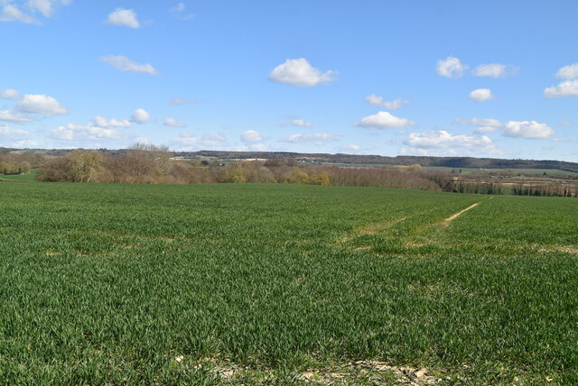
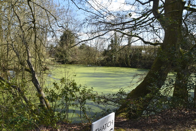
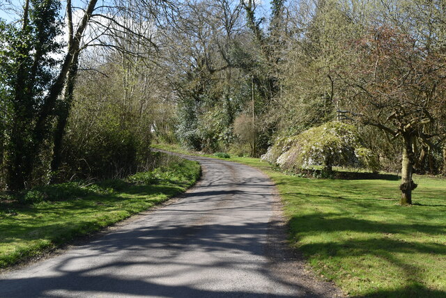
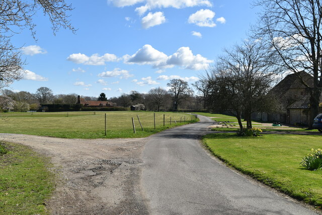
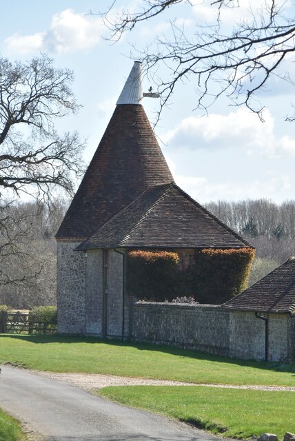
Hothfield Common is a nature reserve located in the county of Kent, England. Situated in the village of Hothfield, it covers an area of approximately 165 hectares (407 acres) and is known for its diverse range of habitats, including downs and moorland.

The common is characterized by its rolling hills, open grasslands, and scattered patches of heathland. It is home to a variety of plant species, with heathers and gorse dominating the landscape. The common is also abundant in wildflowers such as orchids, harebells, and cowslips, which add vibrant colors to the scenery.

The site's diverse habitats support a wide range of wildlife. Bird enthusiasts will find the common particularly appealing, as it is home to several species, including skylarks, meadow pipits, and stonechats. Visitors may also catch a glimpse of kestrels and buzzards soaring above the common, hunting for prey.

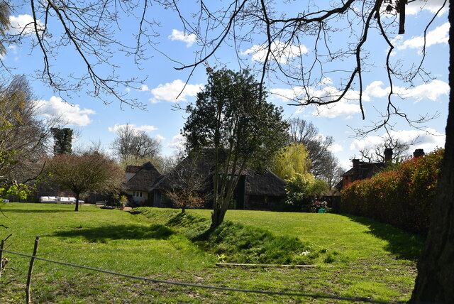
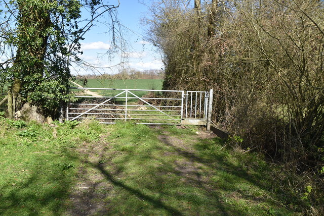
Hothfield Common is not only a haven for wildlife but also offers recreational opportunities for visitors. The site has a network of footpaths and bridleways, making it a popular destination for walkers, cyclists, and horse riders. The common also features a picnic area and a children's play area, providing facilities for families to enjoy the outdoors.

Managed by the Kent Wildlife Trust, Hothfield Common is a designated Site of Special Scientific Interest (SSSI), recognizing its importance for conservation. The trust works to maintain and enhance the natural habitats, ensuring the preservation of this unique area for future generations to appreciate and enjoy.

If you have any feedback on the listing, please let us know in the comments section below.

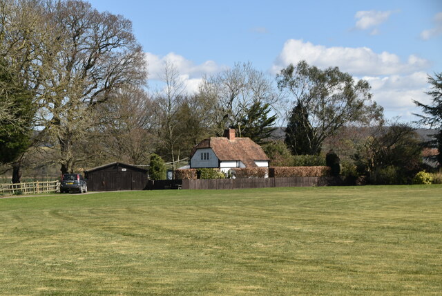
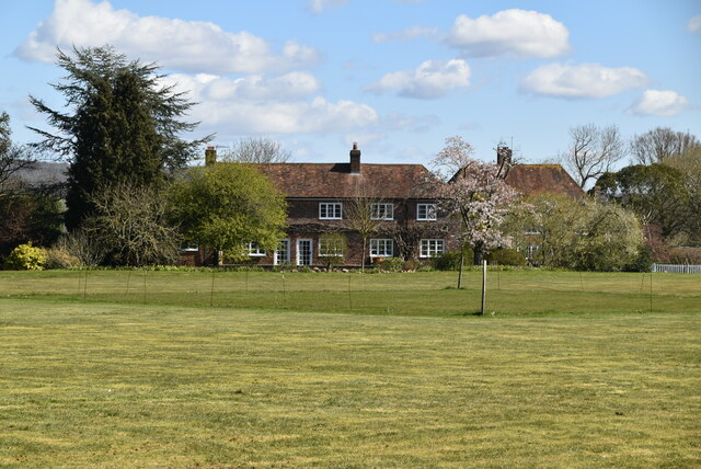
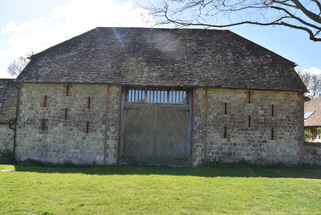
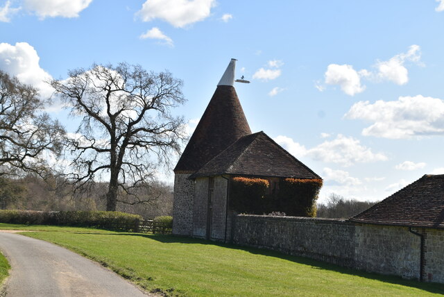
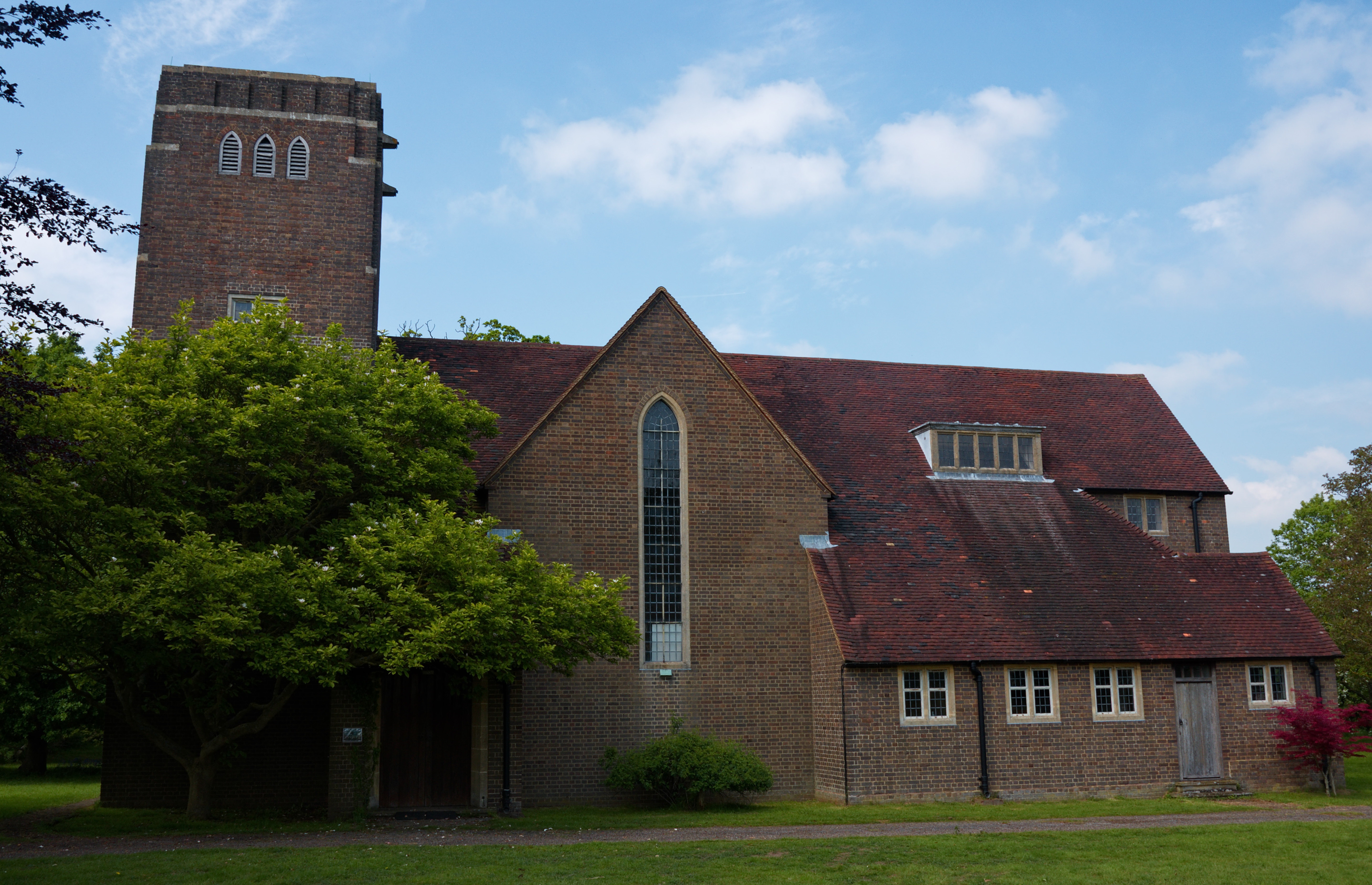
Hothfield Common Images

Images are sourced within 2km of 51.177378/0.81453192 or Grid Reference TQ9645. Thanks to Geograph Open Source API. All images are credited.

Arable land
Arable land
Forstal Farmhouse
Forstal Farmhouse
Footpath near Forstal Farm
Gated footpath
Gated footpath
Thatch
Thatch
Eutrophic pond Eutrophication is an enrichment of a water body by minerals and nutrients that lead to a reduction in water quality, especially a reduction in oxygen content. Although it can be a natural process most modern eutrophication is caused by human activity, especially the use of nitrates and phosphates. A eutrophic water body is characterised by a surface green algal bloom.
Wikipedia: <span class="nowrap"><a title="https://en.wikipedia.org/wiki/Eutrophication" rel="nofollow ugc noopener" href="https://en.wikipedia.org/wiki/Eutrophication">Link</a><img style="margin-left:2px;" alt="External link" title="External link - shift click to open in new window" src="https://s1.geograph.org.uk/img/external.png" width="10" height="10"/></span>
Eutrophic pond
Eutrophication is an enrichment of a water body by minerals and nutrients that lead to a reduction in water quality, especially a reduction in oxygen content. Although it can be a natural process most modern eutrophication is caused by human activity, especially the use of nitrates and phosphates. A eutrophic water body is characterised by a surface green algal bloom. Wikipedia: LinkExternal link
Forstal Farmhouse Grade II listed.
Forstal Farmhouse
Grade II listed.
Little Chart Forstal
Forstal Farmhouse Grade II listed.
Forstal Farmhouse
Grade II listed.
Ram Lane
Ram Lane
Ram Lane
Ram Lane
Coldham Oast Well converted single round kiln oast house. Ragstone walls.

Grade II listed.
Coldham Oast
Well converted single round kiln oast house. Ragstone walls. Grade II listed.
Pavilion, Little Chart Forstal
The Outlook Cottage
The Outlook Cottage
Forstall Cottages Listed buildings and structures are officially designated as being of special architectural, historical or cultural significance. There are over half a million listed structures in the United Kingdom, covered by around 375,000 listings.
Listed status is more commonly associated with buildings or groups of buildings, however it can cover many other structures, including bridges, headstones, steps, ponds, monuments, walls, phone boxes, wrecks, parks, and heritage sites, and in more recent times a road crossing (Abbey Road) and graffiti art (Banksy 'Spy-booth') have been included.

In England and Wales there are three main listing designations;
Grade I (2.5%) - exceptional interest, sometimes considered to be internationally important.
Grade II* (5.5%) - particularly important buildings of more than special interest. 
Grade II (92%) - nationally important and of special interest. 

There are also locally listed structures (at the discretion of local authorities) using A, B and C designations.

In Scotland three classifications are also used but the criteria are different. There are around 47,500 Listed buildings.
Category A (8%)- generally equivalent to Grade I and II* in England and Wales
Category B (51%)- this appears generally to cover the ground of Grade II, recognising national importance.
Category C (41%)- buildings of local importance, probably with some overlap with English Grade II.

In Northern Ireland the criteria are similar to Scotland, but the classifications are:
Grade A (2.3%)
Grade B+ (4.7%)
Grade B (93%)

Read more at Wikipedia <span class="nowrap"><a title="http://en.wikipedia.org/wiki/Listed_building" rel="nofollow ugc noopener" href="http://en.wikipedia.org/wiki/Listed_building">Link</a><img style="margin-left:2px;" alt="External link" title="External link - shift click to open in new window" src="https://s1.geograph.org.uk/img/external.png" width="10" height="10"/></span>
Forstall Cottages
Listed buildings and structures are officially designated as being of special architectural, historical or cultural significance. There are over half a million listed structures in the United Kingdom, covered by around 375,000 listings. Listed status is more commonly associated with buildings or groups of buildings, however it can cover many other structures, including bridges, headstones, steps, ponds, monuments, walls, phone boxes, wrecks, parks, and heritage sites, and in more recent times a road crossing (Abbey Road) and graffiti art (Banksy 'Spy-booth') have been included. In England and Wales there are three main listing designations; Grade I (2.5%) - exceptional interest, sometimes considered to be internationally important. Grade II* (5.5%) - particularly important buildings of more than special interest. Grade II (92%) - nationally important and of special interest. There are also locally listed structures (at the discretion of local authorities) using A, B and C designations. In Scotland three classifications are also used but the criteria are different. There are around 47,500 Listed buildings. Category A (8%)- generally equivalent to Grade I and II* in England and Wales Category B (51%)- this appears generally to cover the ground of Grade II, recognising national importance. Category C (41%)- buildings of local importance, probably with some overlap with English Grade II. In Northern Ireland the criteria are similar to Scotland, but the classifications are: Grade A (2.3%) Grade B+ (4.7%) Grade B (93%) Read more at Wikipedia LinkExternal link
Barn near Coldham House Grade II listed.
Barn near Coldham House
Grade II listed.
Coldham Oast
Coldham Oast
Cottages, Little Chart Forstal
Show me another place!

Hothfield Common is located at Grid Ref: TQ9645 (Lat: 51.177378, Lng: 0.81453192)

Administrative County: Kent

District: Ashford

Police Authority: Kent

What 3 Words

///archduke.fault.rectangular. Near Charing, Kent

Related Wikis

Hothfield Common

Hothfield Common is a 56.5-hectare (140-acre) biological Site of Special Scientific Interest north-east of Ashford in Kent. It is also a Local Nature...

Hothfield

Hothfield is a village and civil parish in the Ashford Borough of Kent, England and is 3 miles north-west of Ashford on the A20. It is completely split...

Hothfield railway station

Hothfield railway station (later Hothfield Halt) was a railway station on the Maidstone Line at Hothfield, Kent. It was situated between Ashford and Charing...

Westwell Leacon

Westwell Leacon is a hamlet in the civil parish of Charing near Ashford in Kent, England. Its most famous resident is international Cyclocross star Ian...

Little Chart

Little Chart is a village and civil parish, situated 4 miles (6.4 km) north-west of Ashford in Kent, South East England. The parish lies south of the M20...

Godinton House

Godinton House (also known as Godinton House and Gardens or Godinton Park) is a stately home in the parish of Great Chart, owned by a non-profit-making...

Westwell, Kent

Westwell is a village and relatively elevated civil parish with a population of 740 (2001), centred 4 miles (6 km) north of Ashford in Kent, England, in...

Charing Beech Hangers

Charing Beech Hangers is a 52.6-hectare (130-acre) biological Site of Special Scientific Interest north of Ashford in Kent.This steeply sloping site has...

Nearby Amenities

Located within 500m of 51.177378,0.81453192
Barrier: cattle_grid
Lat/Long: 51.1743052/0.8183944
Barrier: cattle_grid
Lat/Long: 51.174433/0.8133929
Barrier: kissing_gate
Lat/Long: 51.1738205/0.8139298
Barrier: stile
Lat/Long: 51.1742421/0.8131539
Barrier: kissing_gate
Lat/Long: 51.176719/0.8142986
Toilets
Lat/Long: 51.1785581/0.8198967
Barrier: kissing_gate
Lat/Long: 51.1781148/0.8199125
Barrier: kissing_gate
Lat/Long: 51.1766014/0.812128
Bus Stop
School Road
Local Ref: adj
Naptan AtcoCode: 240099387
Naptan Bearing: W
Naptan BusStopType: MKD
Naptan CommonName: School Road
Naptan Crossing: School Road
Naptan Indicator: adj
Naptan Landmark: School Road
Naptan NaptanCode: kntgpdmd
Naptan PlusbusZoneRef: ASHFKY
Naptan RevisionNumber: 7
Naptan Status: act
Naptan Street: Common Way
Naptan Verified: no
Public Transport: platform
Ref: kntgpdmd
Source: naptan_import
Source Date: 2018-05-02
Lat/Long: 51.1739551/0.8189163
Bus Stop
School Road
Local Ref: opp
Naptan AtcoCode: 2400A024490A
Naptan Bearing: E
Naptan BusStopType: MKD
Naptan CommonName: School Road
Naptan Crossing: School Road
Naptan Indicator: opp
Naptan Landmark: School Road
Naptan NaptanCode: kntdajdw
Naptan PlusbusZoneRef: ASHFKY
Naptan RevisionNumber: 7
Naptan Status: act
Naptan Street: Common Way
Naptan Verified: no
Public Transport: platform
Ref: kntdajdw
Source: naptan_import
Source Date: 2018-05-02
Lat/Long: 51.1740349/0.8189641
Barrier: pull_apart_gate
Lat/Long: 51.176917/0.8176084
Barrier: kissing_gate
Lat/Long: 51.1778447/0.8191087
Information: board
Lat/Long: 51.1783427/0.8102147
Barrier: kissing_gate
Lat/Long: 51.1782364/0.8104131
Barrier: kissing_gate
Lat/Long: 51.1768749/0.8166195
Barrier: kissing_gate
Lat/Long: 51.1777908/0.8195362
Information: board
Lat/Long: 51.1778153/0.8194319
Barrier: kissing_gate
Lat/Long: 51.1782852/0.8100041
Information: board
Lat/Long: 51.1794996/0.8175966
Waterway: weir
Lat/Long: 51.1787051/0.8104775
Barrier: pull_apart_gate
Lat/Long: 51.1767733/0.8152378
Waterway: weir
Lat/Long: 51.1803224/0.8110542
Information: board
Lat/Long: 51.1744381/0.8191745
Barrier: kissing_gate
Lat/Long: 51.1786252/0.8185631
Barrier: kissing_gate
Lat/Long: 51.1734756/0.8175369
Barrier: kissing_gate
Lat/Long: 51.1744357/0.81922
Froghole Toll
Natural: peak
Source: OS_OpenData_StreetView
Lat/Long: 51.1795449/0.8168566
Foxenhill Toll
Natural: peak
Source: OS_OpenData_StreetView
Lat/Long: 51.175318/0.8182053
Barrier: stile
Lat/Long: 51.1741218/0.8104581
Barrier: stile
Lat/Long: 51.1746943/0.810001
Barrier: swing_gate
Material: wood
Lat/Long: 51.1791897/0.8184434
Barrier: swing_gate
Lat/Long: 51.1790893/0.8178512
Barrier: swing_gate
Lat/Long: 51.179054/0.8176457
Barrier: swing_gate
Lat/Long: 51.1791644/0.8182618
Barrier: swing_gate
Lat/Long: 51.1793918/0.8176025
The Triangle
Place: locality
Lat/Long: 51.1767797/0.8206524
Barrier: height_restrictor
Maxheight: 2.1
Lat/Long: 51.1782222/0.8194167
Generator Method: photovoltaic
Generator Output Electricity: yes
Generator Source: solar
Generator Type: solar_photovoltaic_panel
Location: roof
Power: generator
Lat/Long: 51.1799441/0.8202142
The data included in this document is from www.openstreetmap.org. The data is made available under ODbL.

Have you been to Hothfield Common?

Leave your review of Hothfield Common below (or comments, questions and feedback).