Arkett's Wood
Wood, Forest in Kent Swale
England
Arkett's Wood
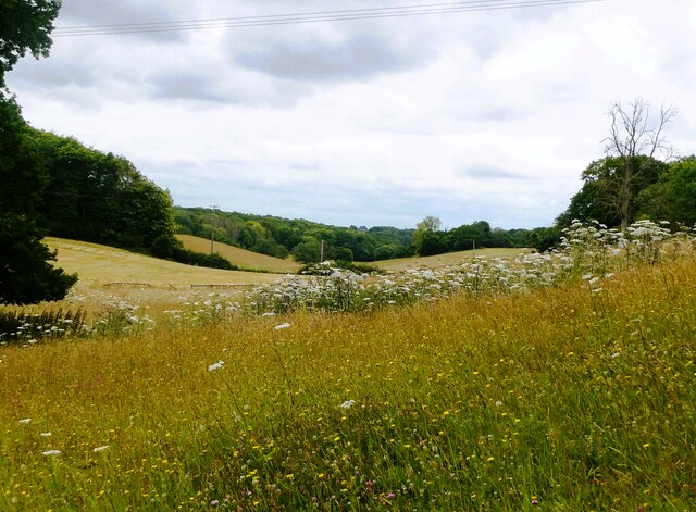
Arkett's Wood is a serene and enchanting forest located in the county of Kent, England. Spanning over 100 acres, this ancient woodland is a haven for nature enthusiasts, hikers, and those seeking tranquility amidst lush greenery. The wood is situated near the village of Biddenden, offering easy access to visitors from nearby towns and cities.
The woodland is characterized by its diverse range of tree species, including oak, beech, ash, and hornbeam, creating a rich and varied ecosystem. These trees have thrived for centuries, forming a dense canopy that provides shelter to a myriad of woodland creatures. The forest floor is adorned with a vibrant carpet of wildflowers, adding a burst of color to the landscape during the spring and summer months.
Arkett's Wood boasts several well-maintained trails that wind through its picturesque surroundings, allowing visitors to explore its hidden treasures. As they wander along the paths, visitors might encounter an array of wildlife, such as deer, squirrels, rabbits, and a variety of bird species. The tranquil atmosphere of the wood provides the perfect backdrop for birdwatching and photography enthusiasts.
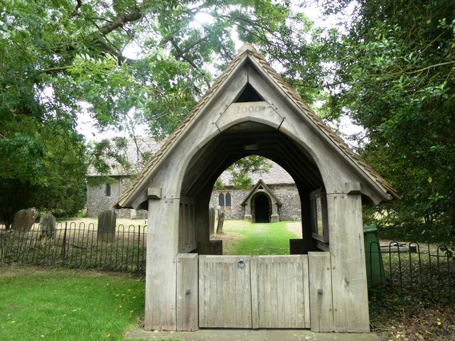
In addition to its natural beauty, Arkett's Wood is also home to historical remnants, including ancient burial mounds and remains of Iron Age settlements. These archaeological features offer glimpses into the area's rich cultural past, adding another layer of intrigue to the wood's allure.
Overall, Arkett's Wood is a captivating destination that offers a blend of natural beauty, wildlife, and historical significance. It provides a welcome escape from the hustle and bustle of modern life, allowing visitors to immerse themselves in the tranquility of nature.
If you have any feedback on the listing, please let us know in the comments section below.
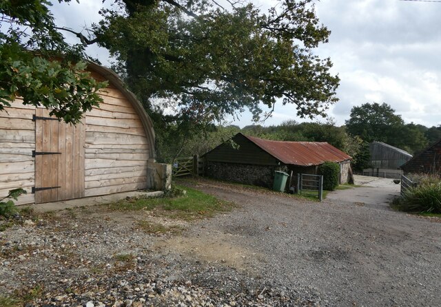
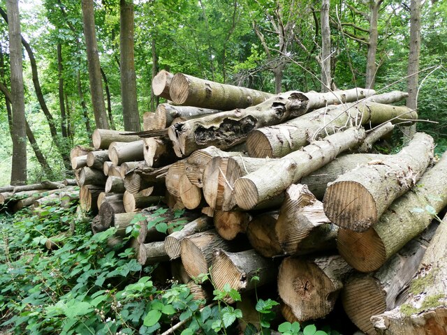
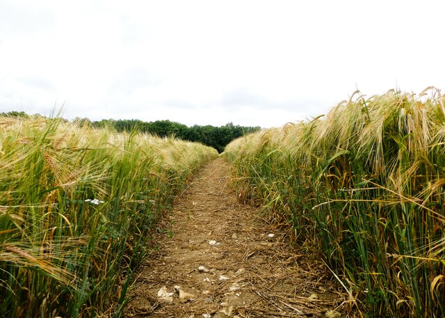
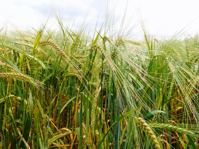
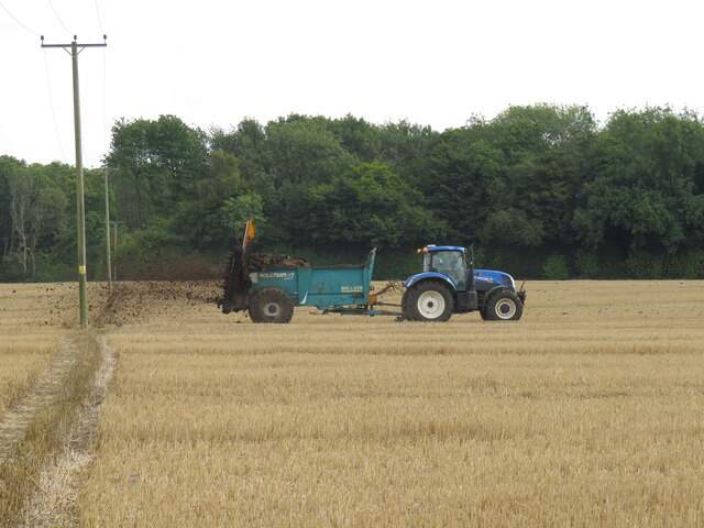
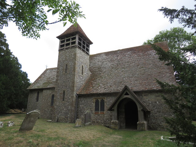
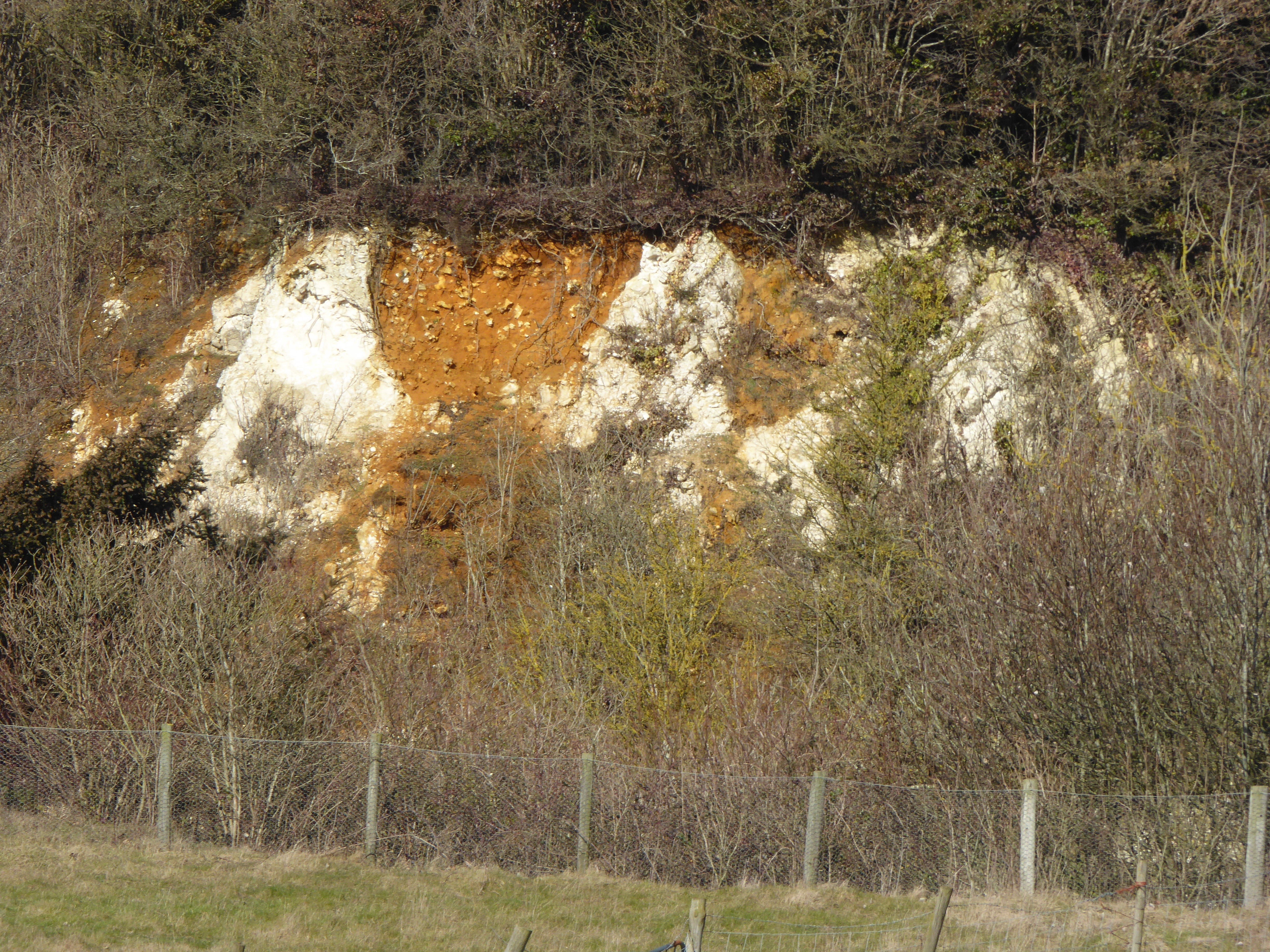
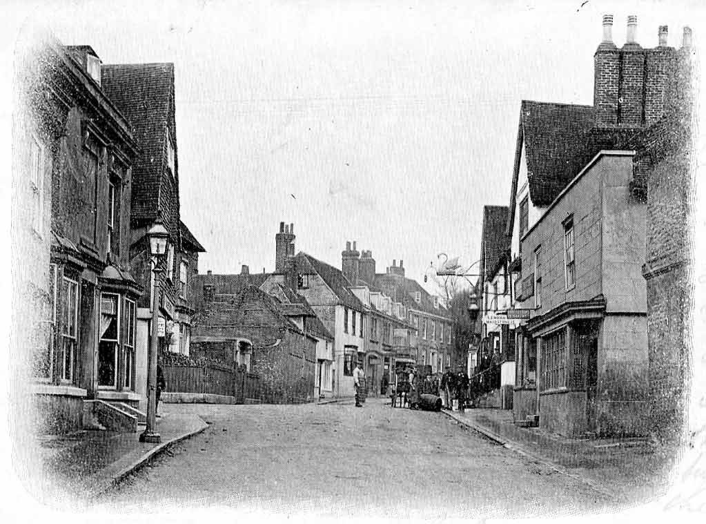
Arkett's Wood Images
Images are sourced within 2km of 51.233046/0.79868885 or Grid Reference TQ9551. Thanks to Geograph Open Source API. All images are credited.


Arkett's Wood is located at Grid Ref: TQ9551 (Lat: 51.233046, Lng: 0.79868885)
Administrative County: Kent
District: Swale
Police Authority: Kent
What 3 Words
///grudging.cookies.tarnished. Near Charing, Kent
Nearby Locations
Related Wikis

Spuckles and Kennelling Woods
Spuckles and Kennelling Woods is a 20-hectare (49-acre) nature reserve north of Charing in Kent. It is managed by Kent Wildlife Trust. It is in the Kent...

Stalisfield
Stalisfield is a village in the borough of Swale in Kent, England, located on a secondary road about 1½ miles (2.4 km) north of Charing and 5 miles south...

Otterden
Otterden is a civil parish and village on the Kent Downs in the borough of Maidstone in Kent, England. == History == Otterden is mentioned in the Domesday...
Hart Hill, Kent
Hart Hill is a 1.4-hectare (3.5-acre) geological Site of Special Scientific Interest north-west of Charing Kent. It is a Geological Conservation Review...

Charing Windmill
Charing Windmill is a Grade II listed smock windmill, now converted to a house, on Charing Hill in Kent in southeast England. It is sometimes known as...

Faversham and Mid Kent (UK Parliament constituency)
Faversham and Mid Kent is a constituency represented in the House of Commons of the UK Parliament. Since 2015, the seat has been held by Helen Whately...
Bunce Court School
The Bunce Court School was an independent, private boarding school in the village of Otterden, in Kent, England. It was founded in 1933 by Anna Essinger...
Charing
Charing is a village and civil parish in the Ashford District of Kent, in south-east England. It includes the settlements of Charing Heath and Westwell...
Related Videos

Find Walking routes near you | Kent Walks | My New Vlogging Kit
You might not realize but you have got plenty of walking routes and trails to explore right on your doorstep. So, find that walking ...

Cumbria Way | Part 2 | Solo Hiking & Wild Camping | Lanshan 2
The Cumbria Way is a linear 82mile long distance footpath in Cumbria, England. The majority of the route is inside the boundaries ...

5 Top Tips for Hiking in Winter
Winter hiking Tips, Winter hiking essentials, Winter hiking kit list Your outdoor action doesn't have to stop during the colder months ...

Pack & Boots Channel Trailer | Wild Camping | Hiking
Heading out into the wilderness and wild camping helps me leave my everyday stresses behind. I hike into a remote place, and ...
Nearby Amenities
Located within 500m of 51.233046,0.79868885Have you been to Arkett's Wood?
Leave your review of Arkett's Wood below (or comments, questions and feedback).