Bowl Wood

Wood, Forest in Kent Swale

England

Bowl Wood

Cuckoo Wood Farm,  near Warren Street On Cold Harbour Road.
Cuckoo Wood Farm, near Warren Street Credit: pam fray

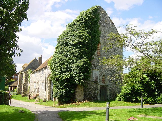
Bowl Wood is a picturesque forest located in the county of Kent, England. Situated in the southeastern part of the country, it encompasses an area of approximately 250 acres. The woodland is known for its natural beauty, diverse flora and fauna, and tranquil atmosphere.

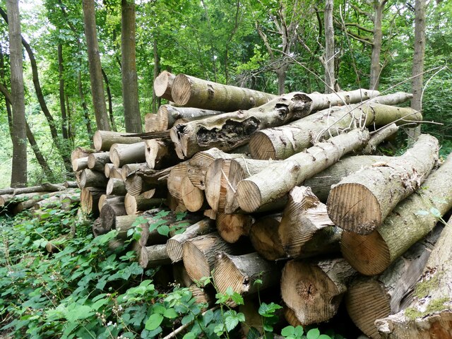
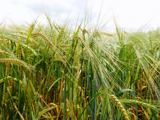
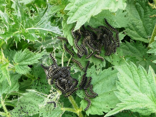
The forest is primarily composed of broadleaf trees, with prominent species such as oak, beech, and birch dominating the landscape. These majestic trees form a dense canopy, providing shade and shelter for a variety of wildlife. Bowl Wood is home to numerous bird species, including woodpeckers, owls, and thrushes, making it a popular destination for birdwatchers.

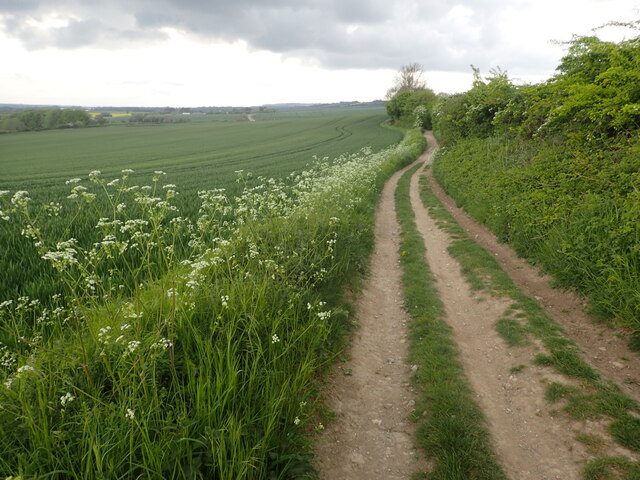
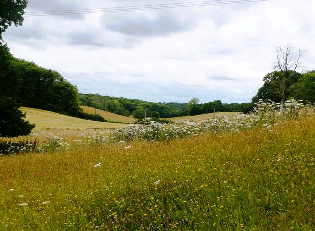
The forest floor is covered in a rich carpet of bluebells during the spring, creating a stunning and vibrant display. This natural phenomenon attracts many visitors who come to witness the colorful spectacle and enjoy the serene environment. The woodland also boasts a network of walking trails, allowing visitors to explore its beauty at their own pace.

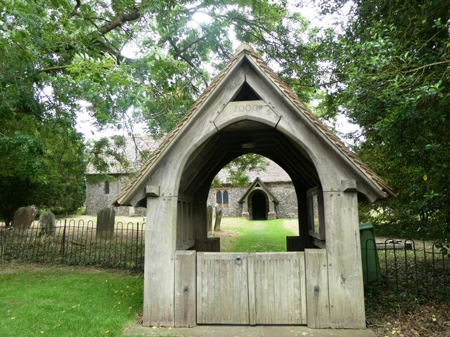
Bowl Wood has a long history, with evidence of human activity dating back thousands of years. Archaeological findings suggest that the area was inhabited during the Neolithic period, and remnants of Iron Age settlements have also been discovered. Today, the forest is managed by the local authorities, who work to preserve its natural heritage and enhance its recreational value.

Overall, Bowl Wood is a cherished natural treasure in Kent, offering a peaceful retreat for nature enthusiasts, hikers, and history buffs alike. Its stunning scenery, diverse wildlife, and rich history make it a must-visit destination for anyone seeking solace in the beauty of the natural world.

If you have any feedback on the listing, please let us know in the comments section below.
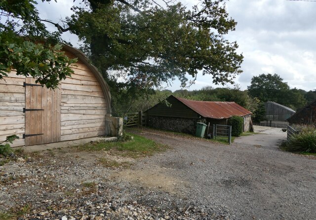
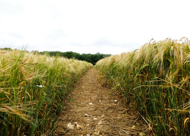
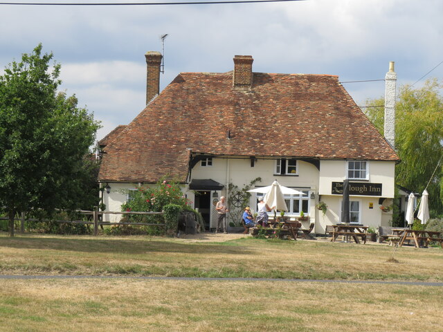
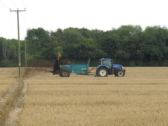
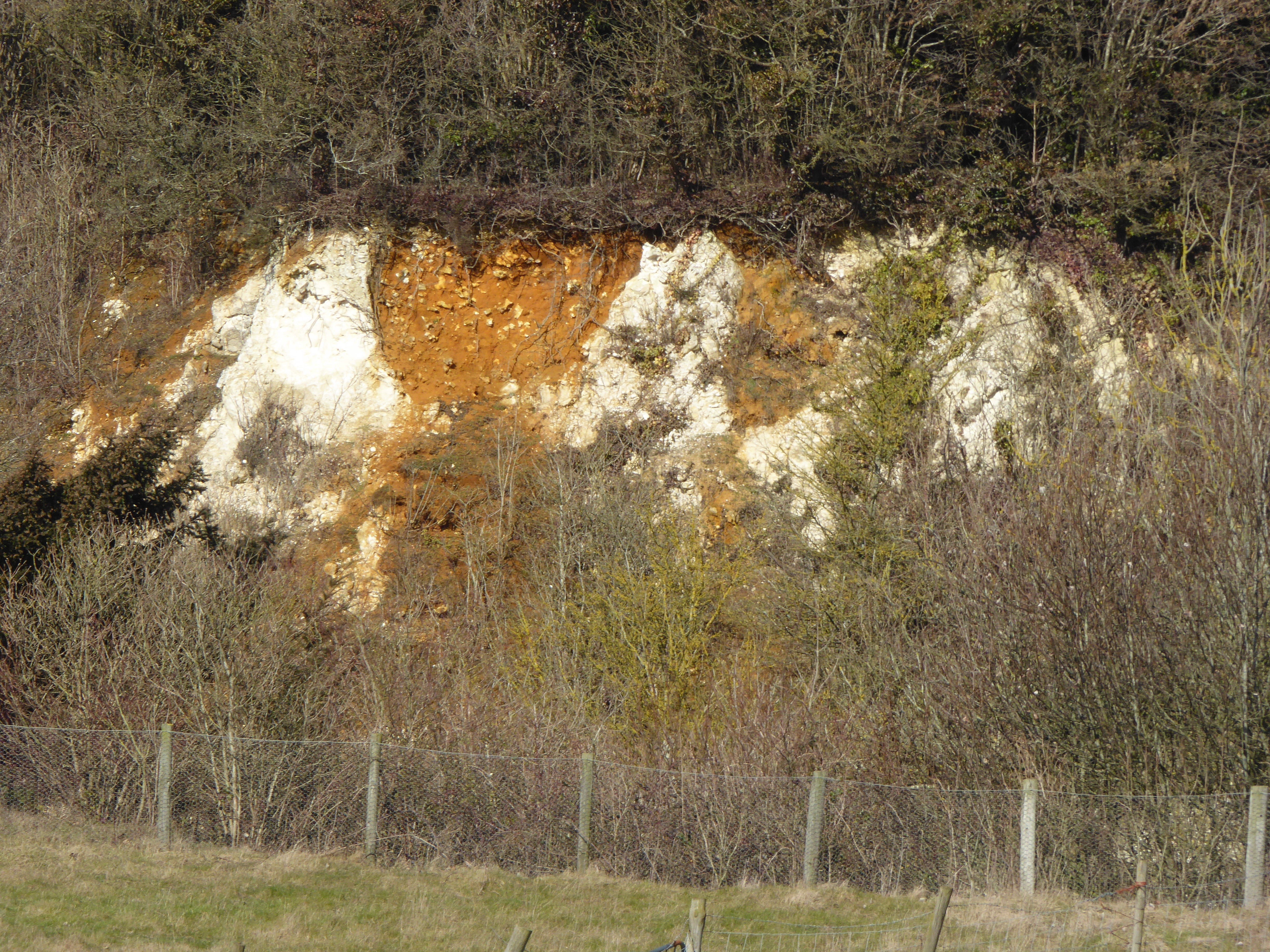
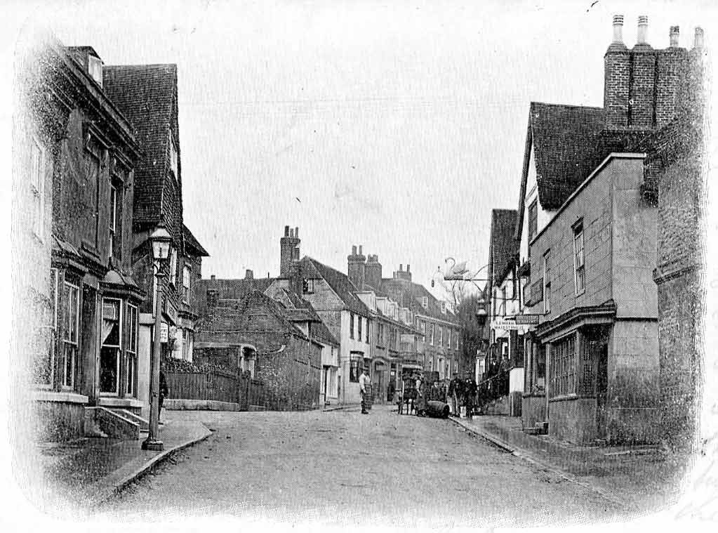
Bowl Wood Images

Images are sourced within 2km of 51.229864/0.79783676 or Grid Reference TQ9551. Thanks to Geograph Open Source API. All images are credited.

Cuckoo Wood Farm,  near Warren Street On Cold Harbour Road.
Cuckoo Wood Farm, near Warren Street
On Cold Harbour Road.
North Downs Way Looking along the North Downs Way near Charing.
North Downs Way
Looking along the North Downs Way near Charing.
The Pilgrim's Way near Hart Hill Farm The Pilgrim's Way was an ancient trackway used as a trading route by prehistoric people. It has been dated by archaeological finds to 500–450 BC, but probably has been in existence since the Stone Age. It is also supposed to be the historic route taken by pilgrims from Winchester to the shrine of Thomas Becket at Canterbury. It certainly was one of them but not the only one. Parts of it, as here, are followed by the North Downs Way.
The Pilgrim's Way near Hart Hill Farm
The Pilgrim's Way was an ancient trackway used as a trading route by prehistoric people. It has been dated by archaeological finds to 500–450 BC, but probably has been in existence since the Stone Age. It is also supposed to be the historic route taken by pilgrims from Winchester to the shrine of Thomas Becket at Canterbury. It certainly was one of them but not the only one. Parts of it, as here, are followed by the North Downs Way.
Felled trees in Spuckles Wood, Stalisfield Kent Wildlife Trust is identifying ash trees affected by the ash die back fungal disease and managing the trees that present the greatest risk to public safety              in Spuckles, Kennelling and Bowls Woods.
Felled trees in Spuckles Wood, Stalisfield
Kent Wildlife Trust is identifying ash trees affected by the ash die back fungal disease and managing the trees that present the greatest risk to public safety in Spuckles, Kennelling and Bowls Woods.
Footpath through a barley field, Stalisfield The path runs between Thorneycroft Road and Church Road.
Footpath through a barley field, Stalisfield
The path runs between Thorneycroft Road and Church Road.
Crop of barley, Stalisfield East of Spuckles Wood.
Crop of barley, Stalisfield
East of Spuckles Wood.
Farmland, Stalisfield Looking towards Hillside Road.
Farmland, Stalisfield
Looking towards Hillside Road.
St. Mary's Church, Stalisfield A Grade II* listed building, 13th century and restored in 1904.
St. Mary's Church, Stalisfield
A Grade II* listed building, 13th century and restored in 1904.
Caterpillars of the small tortoiseshell butterfly, Stalisfield The female lays her eggs on stinging nettle leaves, giving the larvae plenty to eat. to the east of Court Lodge Farm and St. Mary's Church.
Caterpillars of the small tortoiseshell butterfly, Stalisfield
The female lays her eggs on stinging nettle leaves, giving the larvae plenty to eat. to the east of Court Lodge Farm and St. Mary's Church.
Path leading to Codling Wood, Stalisfield A poppy-strewn path running east from Court Lodge Farm.
Path leading to Codling Wood, Stalisfield
A poppy-strewn path running east from Court Lodge Farm.
A path leading to Codling Wood, Stalisfield Field poppies among the barley.
A path leading to Codling Wood, Stalisfield
Field poppies among the barley.
Poppies, Stalisfield By the path to the west of Codling Wood.
Poppies, Stalisfield
By the path to the west of Codling Wood.
Poppies, Stalisfield By the path to the west of Codling Wood.
Poppies, Stalisfield
By the path to the west of Codling Wood.
Spear thistle, Codling Wood, Stalisfield The western edge footpath has an abundance of wildflowers and, consequently, it is a haven for bees and other insects.
Spear thistle, Codling Wood, Stalisfield
The western edge footpath has an abundance of wildflowers and, consequently, it is a haven for bees and other insects.
Codling Wood, Stalisfield Looking across to Court Lodge farmland. The western edge footpath has an abundance of wildflowers and, consequently, it is a haven for bees and other insects.
Codling Wood, Stalisfield
Looking across to Court Lodge farmland. The western edge footpath has an abundance of wildflowers and, consequently, it is a haven for bees and other insects.
Valley east of Hurst Wood, Stalisfield
The Plough at Stalisfield May take some finding but well worth the effort!
The Plough at Stalisfield
May take some finding but well worth the effort!
Muck spreading at Stalisfield Several tractor-trailers busy spreading much across the corn fields -  hard for walkers to keep boots clean!
Muck spreading at Stalisfield
Several tractor-trailers busy spreading much across the corn fields - hard for walkers to keep boots clean!
Show me another place!

Bowl Wood is located at Grid Ref: TQ9551 (Lat: 51.229864, Lng: 0.79783676)

Administrative County: Kent

District: Swale

Police Authority: Kent

What 3 Words

///troubles.unleashed.revolting. Near Charing, Kent

Related Wikis

Spuckles and Kennelling Woods

Spuckles and Kennelling Woods is a 20-hectare (49-acre) nature reserve north of Charing in Kent. It is managed by Kent Wildlife Trust. It is in the Kent...

Stalisfield

Stalisfield is a village in the borough of Swale in Kent, England, located on a secondary road about 1½ miles (2.4 km) north of Charing and 5 miles south...

Charing Windmill

Charing Windmill is a Grade II listed smock windmill, now converted to a house, on Charing Hill in Kent in southeast England. It is sometimes known as...

Hart Hill, Kent

Hart Hill is a 1.4-hectare (3.5-acre) geological Site of Special Scientific Interest north-west of Charing Kent. It is a Geological Conservation Review...

Otterden

Otterden is a civil parish and village on the Kent Downs in the borough of Maidstone in Kent, England. == History == Otterden is mentioned in the Domesday...

Charing

Charing is a village and civil parish in the Ashford District of Kent, in south-east England. It includes the settlements of Charing Heath and Westwell...

Archbishop's Palace, Charing

Archbishop's Palace, Charing, is an important heritage site dating back to the eighth century, and one of the earliest to be owned by the see of Canterbury...

Faversham and Mid Kent (UK Parliament constituency)

Faversham and Mid Kent is a constituency represented in the House of Commons of the UK Parliament. Since 2015, the seat has been held by Helen Whately...

Related Videos

Find Walking routes near you | Kent Walks | My New Vlogging Kit

You might not realize but you have got plenty of walking routes and trails to explore right on your doorstep. So, find that walking ...

Cumbria Way | Part 2 | Solo Hiking & Wild Camping | Lanshan 2

The Cumbria Way is a linear 82mile long distance footpath in Cumbria, England. The majority of the route is inside the boundaries ...

5 Top Tips for Hiking in Winter

Winter hiking Tips, Winter hiking essentials, Winter hiking kit list Your outdoor action doesn't have to stop during the colder months ...

Pack & Boots Channel Trailer | Wild Camping | Hiking

Heading out into the wilderness and wild camping helps me leave my everyday stresses behind. I hike into a remote place, and ...

Nearby Amenities

Located within 500m of 51.229864,0.79783676
Post Box
Ref: TN27 206
Lat/Long: 51.2285494/0.7913787
The data included in this document is from www.openstreetmap.org. The data is made available under ODbL.

Have you been to Bowl Wood?

Leave your review of Bowl Wood below (or comments, questions and feedback).