Fordham Heath

Settlement in Essex Colchester

England

Fordham Heath

Houses on London Road, Stanway
Houses on London Road, Stanway Credit: David Howard

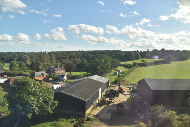
Fordham Heath is a small village located in the county of Essex, England. Situated approximately 10 miles north of the town of Colchester, it is nestled amidst the picturesque countryside of the region. The village is home to a close-knit community and offers a tranquil and idyllic setting for its residents.

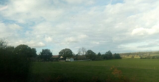
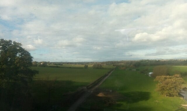
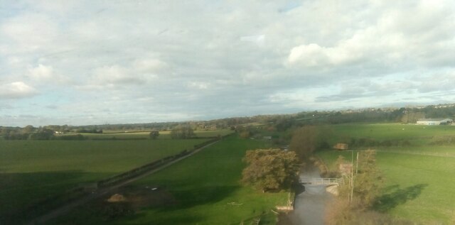
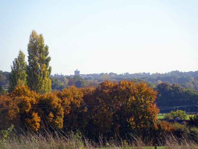
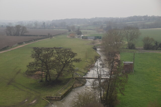
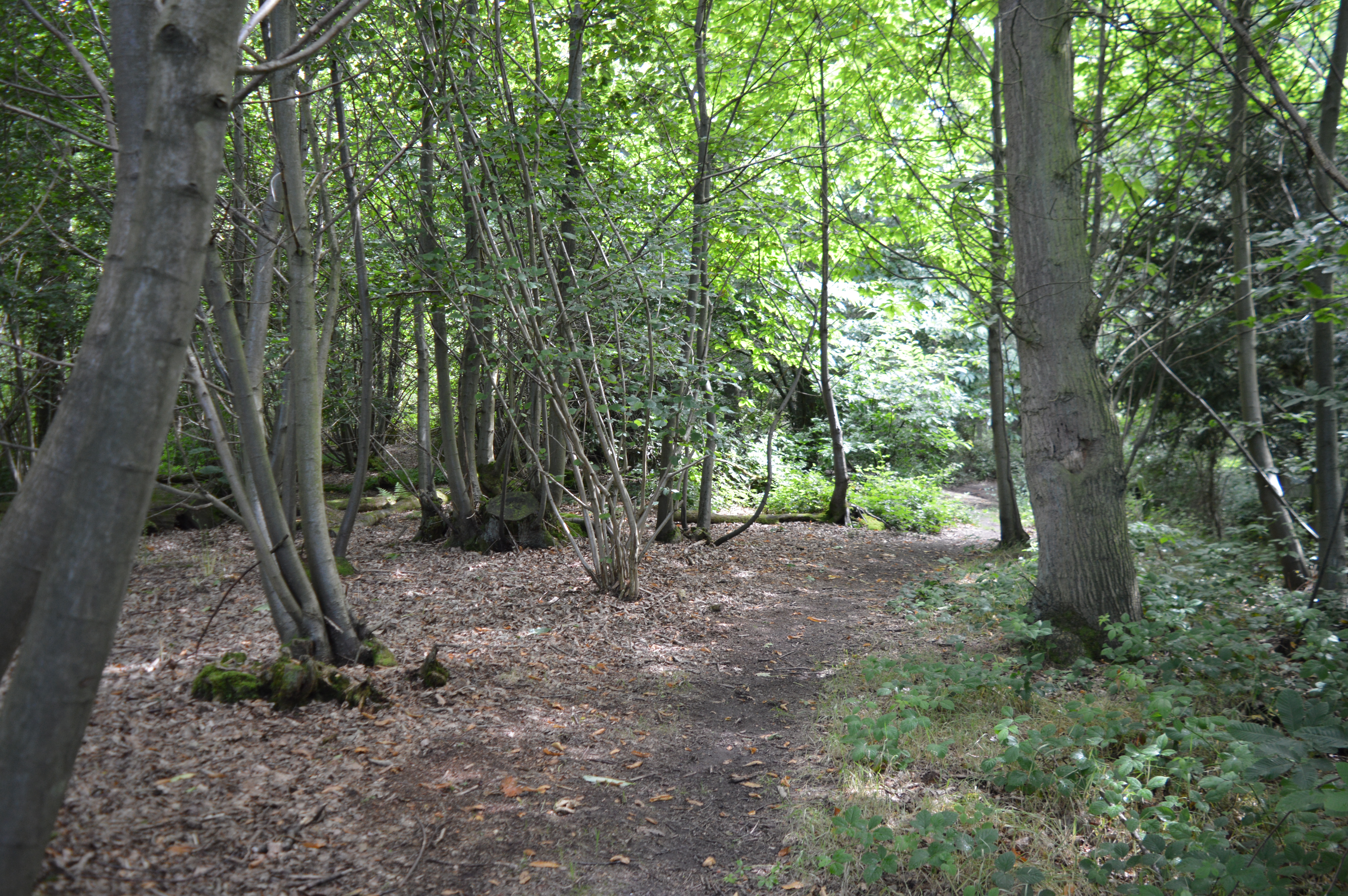
One of the defining features of Fordham Heath is its vast heathland, which covers a significant portion of the village. This natural landscape provides a rich habitat for diverse flora and fauna, making it a popular spot for nature enthusiasts and walkers. In addition to the heathland, the village is surrounded by lush green fields and woodland, further enhancing its rural charm.

Despite its small size, Fordham Heath boasts a number of amenities to cater to the needs of its residents. The village is home to a primary school, providing education for local children, as well as a village hall that serves as a hub for community events and gatherings. Additionally, the nearby town of Colchester offers a wider range of amenities, including shopping centers, healthcare facilities, and leisure activities.

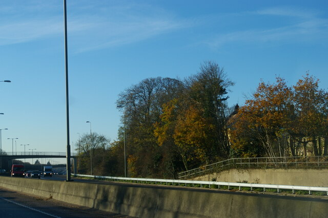
Fordham Heath enjoys good transport links, with the A12 road passing close by, providing convenient access to neighboring towns and cities. The village also benefits from a regular bus service, connecting it to nearby settlements, and Colchester railway station is within a short drive, offering further transport options.

Overall, Fordham Heath offers a peaceful and picturesque living environment, with its natural beauty and strong sense of community attracting residents seeking a rural lifestyle within reach of urban amenities.

If you have any feedback on the listing, please let us know in the comments section below.

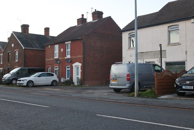
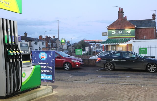
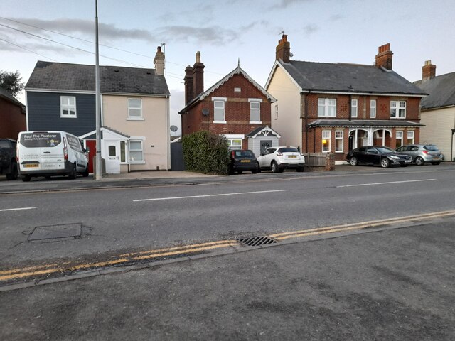
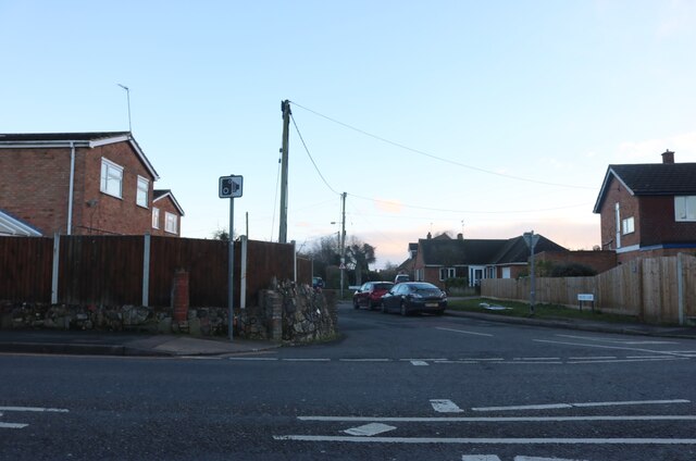
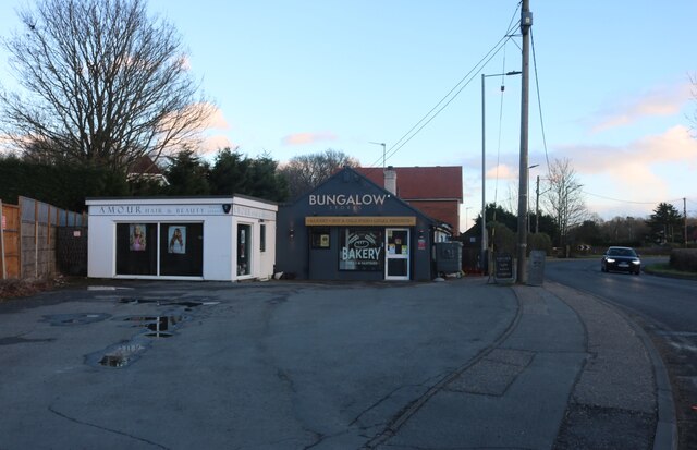
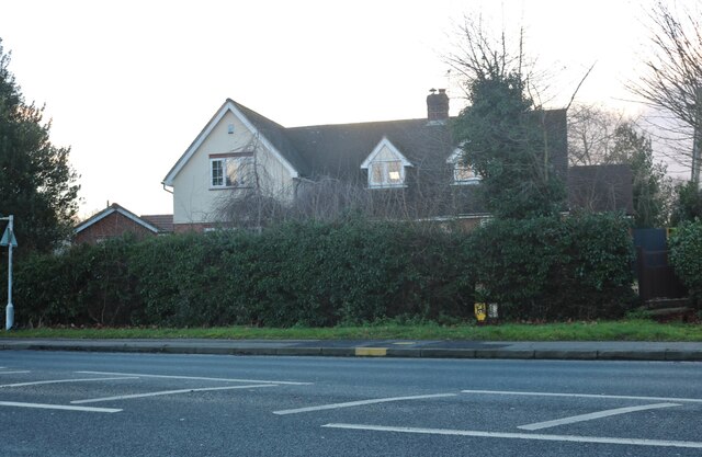
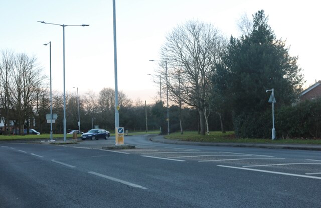
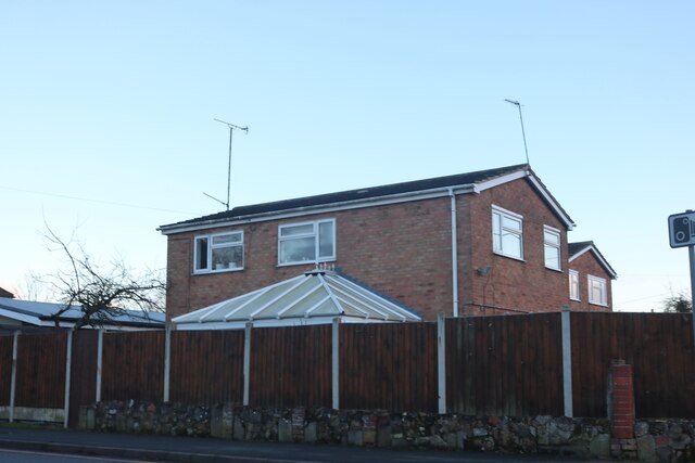
Fordham Heath Images

Images are sourced within 2km of 51.902066/0.824979 or Grid Reference TL9426. Thanks to Geograph Open Source API. All images are credited.

Houses on London Road, Stanway
Petrol station on London Road, Stanway
London Road, Stanway
London Road at the junction of Millers Lane
Houses on Halstead Road, Eight Ash Green
Shops on Halstead Road, Eight Ash Green
House on Halstead Road, Eight Ash Green
Roundabout on Halstead Road, Eight Ash Green
House by London Road, Stanway The front is on Millers Lane
House by London Road, Stanway
The front is on Millers Lane
A12 Colchester bypass The A12 is a 129 mile long trunk road from London to Great Yarmouth. It runs through Greater London, Essex, Suffolk and Norfolk. It passes by Brentwood, Colchester and Ipswich as well as passing through Lowestoft.
<span class="nowrap"><a title="http://www.sabre-roads.org.uk/wiki/index.php?title=A12" rel="nofollow ugc noopener" href="http://www.sabre-roads.org.uk/wiki/index.php?title=A12">Link</a><img style="margin-left:2px;" alt="External link" title="External link - shift click to open in new window" src="https://s1.geograph.org.uk/img/external.png" width="10" height="10"/></span> 
Wikipedia: <span class="nowrap"><a title="http://en.wikipedia.org/wiki/A12_road_(England)" rel="nofollow ugc noopener" href="http://en.wikipedia.org/wiki/A12_road_(England)">Link</a><img style="margin-left:2px;" alt="External link" title="External link - shift click to open in new window" src="https://s1.geograph.org.uk/img/external.png" width="10" height="10"/></span>
A12 Colchester bypass
The A12 is a 129 mile long trunk road from London to Great Yarmouth. It runs through Greater London, Essex, Suffolk and Norfolk. It passes by Brentwood, Colchester and Ipswich as well as passing through Lowestoft. LinkExternal link Wikipedia: LinkExternal link
Houses on Chits Hill from the railway
View up the River Colne, from a train crossing Seven Arches
Colchester from a small field in near Fordham
Seven Arches Farm
Seven Arches Farm
River Colne
River Colne
Viaduct on a misty morning; from Chitts Hill; West Bergholt
Bridge over the A12, Eight Ash Green The A12 is a 129 mile long trunk road from London to Great Yarmouth. It runs through Greater London, Essex, Suffolk and Norfolk. It passes by Brentwood, Colchester and Ipswich as well as passing through Lowestoft.
<span class="nowrap"><a title="http://www.sabre-roads.org.uk/wiki/index.php?title=A12" rel="nofollow ugc noopener" href="http://www.sabre-roads.org.uk/wiki/index.php?title=A12">Link</a><img style="margin-left:2px;" alt="External link" title="External link - shift click to open in new window" src="https://s1.geograph.org.uk/img/external.png" width="10" height="10"/></span> 
Wikipedia: <span class="nowrap"><a title="http://en.wikipedia.org/wiki/A12_road_(England)" rel="nofollow ugc noopener" href="http://en.wikipedia.org/wiki/A12_road_(England)">Link</a><img style="margin-left:2px;" alt="External link" title="External link - shift click to open in new window" src="https://s1.geograph.org.uk/img/external.png" width="10" height="10"/></span>
Bridge over the A12, Eight Ash Green
The A12 is a 129 mile long trunk road from London to Great Yarmouth. It runs through Greater London, Essex, Suffolk and Norfolk. It passes by Brentwood, Colchester and Ipswich as well as passing through Lowestoft. LinkExternal link Wikipedia: LinkExternal link
Show me another place!

Fordham Heath is located at Grid Ref: TL9426 (Lat: 51.902066, Lng: 0.824979)

Administrative County: Essex

District: Colchester

Police Authority: Essex

What 3 Words

///tolerates.tailing.hazy. Near Eight Ash Green, Essex

Nearby Locations

Fordham Heath

Related Wikis

Eight Ash Green

Eight Ash Green is a village and civil parish in the City of Colchester district of Essex, England. It is on the A1124 road, near Junction 26 (Eight Ash...

Iron Latch

Iron Latch is a 4.3-hectare (11-acre) nature reserve in Eight Ash Green, west of Colchester in Essex. The site consists of areas of species-rich grassland...

Fordham Heath

Fordham Heath is a hamlet near the A1124 road, in the Colchester district, in the English county of Essex. It is near the large town of Colchester and...

Old St Mary's Church, West Bergholt

Old St Mary's Church is a redundant Anglican church in the village of West Bergholt, Essex, England. It is recorded in the National Heritage List for...

Nearby Amenities

Located within 500m of 51.902066,0.824979
Eight Ash Green
Is In: Essex, England, UK
Place: village
Source: gps survey
Lat/Long: 51.8984854/0.8213793
Post Box
Operator: Royal Mail
Operator Wikidata: Q638098
Lat/Long: 51.9005587/0.8261757
Bus Stop
The Cricketers
Naptan AtcoCode: 1500IM1362
Naptan Bearing: S
Naptan CommonName: The Cricketers
Naptan Indicator: o/s
Naptan Landmark: The Cricketers
Naptan NaptanCode: esxamajt
Naptan Street: Spring Lane
Public Transport: platform
Shelter: yes
Source: naptan_import; survey
Timetable Case: yes
Lat/Long: 51.9004925/0.826136
The Cricketers
Naptan AtcoCode: 1500IM1362Y
Naptan Bearing: N
Naptan BusStopType: CUS
Naptan CommonName: The Cricketers
Naptan Indicator: Opp
Naptan Landmark: The Cricketers
Naptan NaptanCode: esxjadad
Naptan Street: Spring Lane
Naptan Verified: no
Public Transport: platform
Source: naptan_import
Lat/Long: 51.9004754/0.826031
Barrier: bollard
Lat/Long: 51.9005936/0.82256
Huxtables Lane
Naptan AtcoCode: 1500HNR2704Y
Naptan BusStopType: HAR
Naptan NaptanCode: esxjmtwj
Public Transport: platform
Source: naptan
Lat/Long: 51.8985653/0.8252238
Huxtables Lane
Naptan AtcoCode: 1500HNR2704
Naptan BusStopType: HAR
Naptan NaptanCode: esxjgtgt
Public Transport: platform
Source: naptan
Lat/Long: 51.8985453/0.8253098
Generator Method: photovoltaic
Generator Output Electricity: yes
Generator Source: solar
Generator Type: solar_photovoltaic_panel
Location: roof
Power: generator
Lat/Long: 51.8998329/0.822022
Barrier: bollard
Bollard: removable
Lat/Long: 51.9039653/0.8268245
Barrier: kissing_gate
Lat/Long: 51.9051717/0.8251082
Bench
Lat/Long: 51.9043848/0.8245057
Bench
Lat/Long: 51.9044258/0.8257281
Bench
Lat/Long: 51.9045048/0.8245895
Bench
Lat/Long: 51.9046728/0.8241094
Barrier: kissing_gate
Lat/Long: 51.9043016/0.8257274
Board Title: Village Well - Fordham Heath
Board Type: history
Description: x
Information: board
Tourism: information
Lat/Long: 51.9027858/0.8247417
Man Made: spring_box
Natural: spring
Lat/Long: 51.9028147/0.8246753
Barrier: bollard
Lat/Long: 51.9012811/0.8226802
Bench
Lat/Long: 51.9009483/0.8258858
Bench
Lat/Long: 51.9013752/0.8236245
Information: guidepost
Tourism: information
Lat/Long: 51.9026099/0.8271332
The data included in this document is from www.openstreetmap.org. The data is made available under ODbL.

Have you been to Fordham Heath?

Leave your review of Fordham Heath below (or comments, questions and feedback).