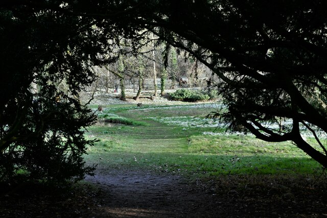
Church Plantation
Wood, Forest in Norfolk North Norfolk
England
Church Plantation
Church Plantation is a neighborhood located in Norfolk, Virginia. Situated in the Wood, Forest area, it is known for its serene and picturesque surroundings. The neighborhood is predominantly residential, with a mix of single-family homes and townhouses.
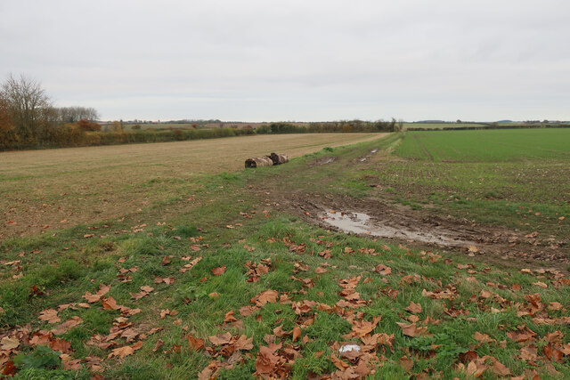
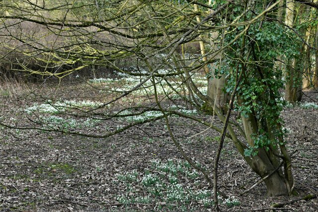
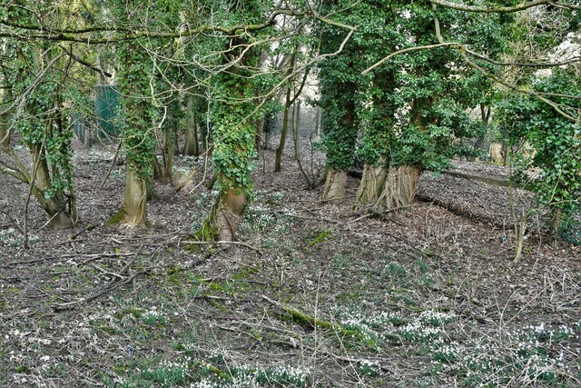
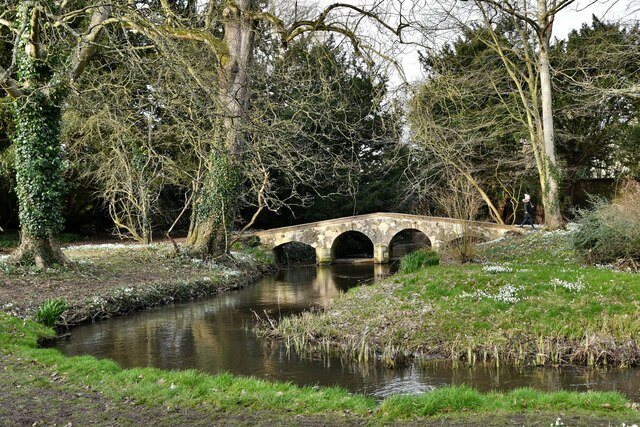
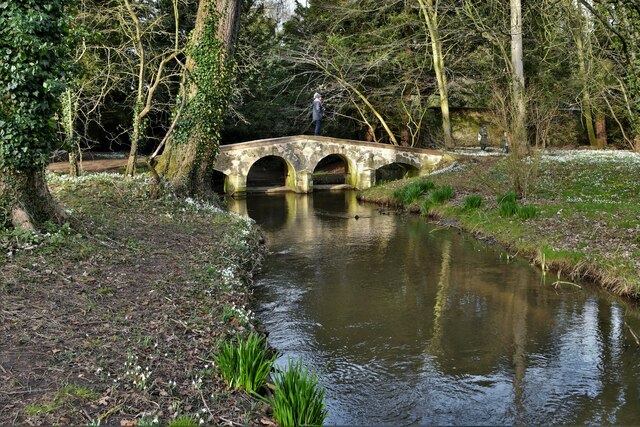
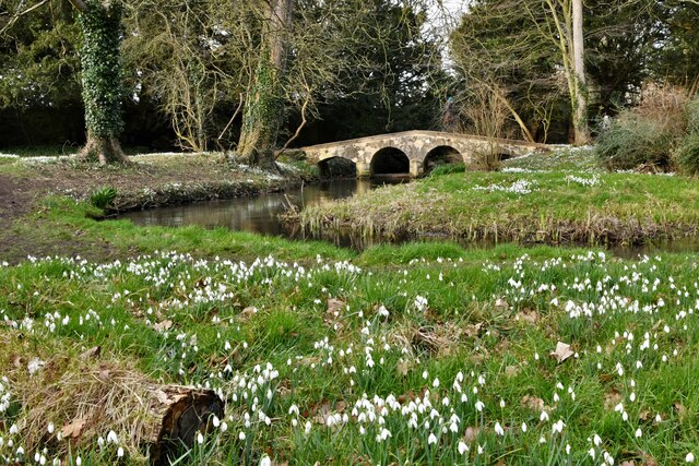
One of the defining features of Church Plantation is its abundance of lush greenery and mature trees. The area is known for its well-maintained parks and open spaces, providing residents with ample opportunities for outdoor activities and recreation. The neighborhood's proximity to forested areas adds to its natural beauty and makes it an ideal place for nature enthusiasts.
The housing in Church Plantation is diverse, ranging from modern, newly constructed homes to older, more traditional properties. The neighborhood offers a range of housing options to suit different preferences and budgets. Many of the homes in the area boast spacious yards and well-manicured gardens, adding to the overall charm of the neighborhood.
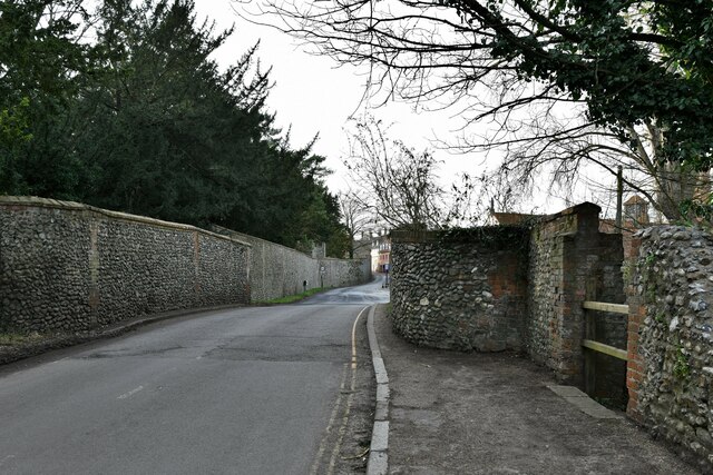
Church Plantation is also conveniently located near various amenities and services. Residents have easy access to shopping centers, restaurants, and entertainment options. The neighborhood is well-connected to major roadways, making it convenient for commuters to travel to other parts of the city.
Overall, Church Plantation in Norfolk offers a peaceful and idyllic setting for residents to call home. Its natural beauty, coupled with its convenient location, makes it an attractive neighborhood for individuals and families looking for a suburban lifestyle with easy access to urban amenities.
If you have any feedback on the listing, please let us know in the comments section below.
Church Plantation Images
Images are sourced within 2km of 52.899647/0.88070674 or Grid Reference TF9337. Thanks to Geograph Open Source API. All images are credited.


Church Plantation is located at Grid Ref: TF9337 (Lat: 52.899647, Lng: 0.88070674)
Administrative County: Norfolk
District: North Norfolk
Police Authority: Norfolk
What 3 Words
///riding.adhesive.seeing. Near Wells-next-the-Sea, Norfolk
Nearby Locations
Related Wikis

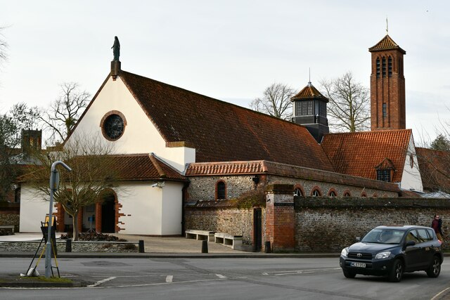
Anglican Shrine of Our Lady of Walsingham
The Anglican Shrine of Our Lady of Walsingham is a Church of England shrine church built in 1938 in Walsingham, Norfolk, England. Walsingham is the site...

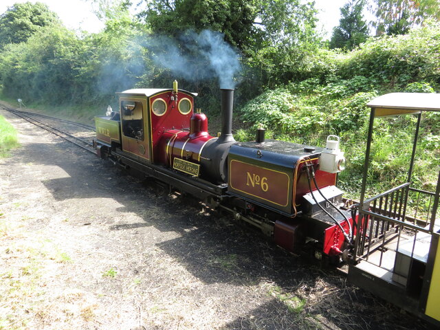
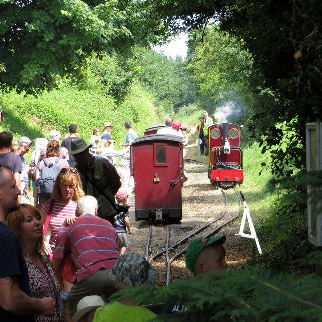
Walsingham (W&WLR) railway station
Walsingham railway station is located in Walsingham, Norfolk, on the narrow gauge Wells and Walsingham Light Railway. It was opened in 1982. It is located...
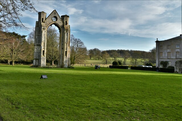
Walsingham Priory
Walsingham Priory was a monastery of Augustinian Canons regular in Walsingham, Norfolk, England seized by the crown at the Dissolution of the Monasteries...

Walsingham
Walsingham () is a civil parish in North Norfolk, England, famous for its religious shrines in honour of Mary, mother of Jesus. It also contains the ruins...

Walsingham railway station
Walsingham was a railway station on the Wells and Fakenham Railway, later part of the Great Eastern Railway. It opened on 1 December 1857, and served the...

St Mary and All Saints, Little Walsingham
St Mary and All Saints Church is the parish church of Little Walsingham in the English county of Norfolk. It is dedicated to the Virgin Mary and All Saints...
Walsingham Friary
Walsingham Friary was a Franciscan friary at Walsingham, Norfolk, England. It was founded in 1347 and suppressed in the 16th century in the Dissolution...

Wighton Halt railway station
Wighton Halt is a railway station serving the small village of Wighton, Norfolk. It is a public railway station, originally part of the standard gauge...
Nearby Amenities
Located within 500m of 52.899647,0.88070674Have you been to Church Plantation?
Leave your review of Church Plantation below (or comments, questions and feedback).