Spouse's Grove
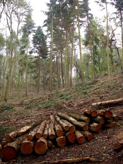
Wood, Forest in Suffolk Babergh
England
Spouse's Grove
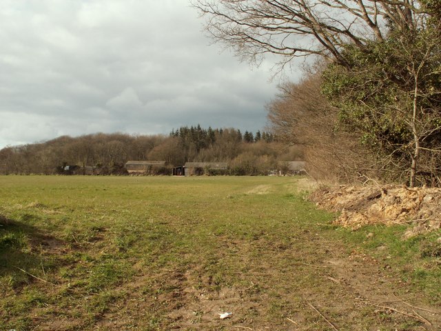
Spouse's Grove, located in Suffolk, England, is a captivating wooded area renowned for its natural beauty and tranquil atmosphere. Nestled within the heart of the Suffolk countryside, this enchanting forest offers visitors a retreat from the hustle and bustle of everyday life.
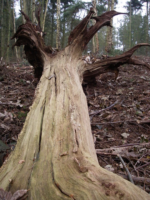
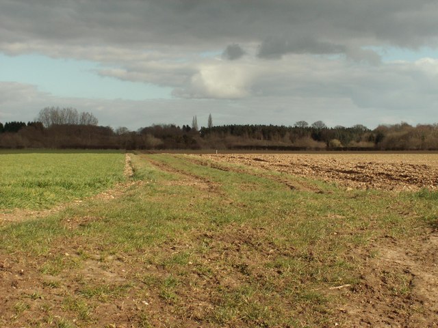
Covering an expansive area, Spouse's Grove is predominantly composed of ancient woodland, boasting a diverse range of tree species such as oak, beech, and birch. The dense foliage creates a lush and verdant environment, providing a haven for an array of wildlife including birds, small mammals, and insects.
Walking through Spouse's Grove, one can expect to be immersed in a captivating symphony of sounds, with the rustling of leaves underfoot and the gentle melodies of birdsong filling the air. The forest floor is adorned with a rich tapestry of wildflowers, adding splashes of vibrant colors to the already picturesque surroundings.
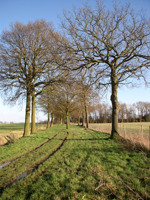
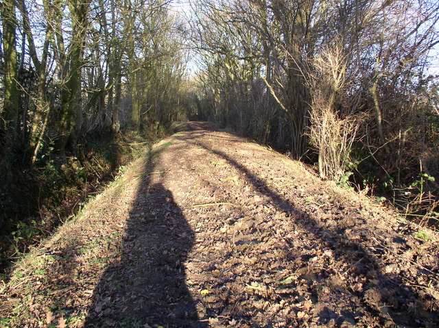
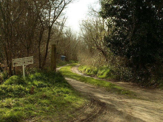
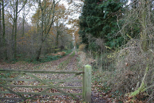
The grove is crisscrossed by a network of well-maintained footpaths, allowing visitors to explore the beauty of this natural haven at their leisure. These trails offer a variety of routes, catering to both casual strollers and avid hikers. Along the way, one may stumble upon secluded clearings, babbling brooks, and even the occasional ancient stone structure, adding an element of mystery and history to the experience.
Spouse's Grove is a popular destination for nature enthusiasts, photographers, and those seeking a peaceful retreat. Whether it's a leisurely stroll, a picnic amidst nature's embrace, or a chance to reconnect with the great outdoors, this Suffolk woodland offers an idyllic sanctuary for all who venture within its leafy embrace.
If you have any feedback on the listing, please let us know in the comments section below.
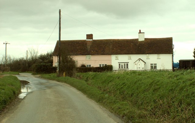
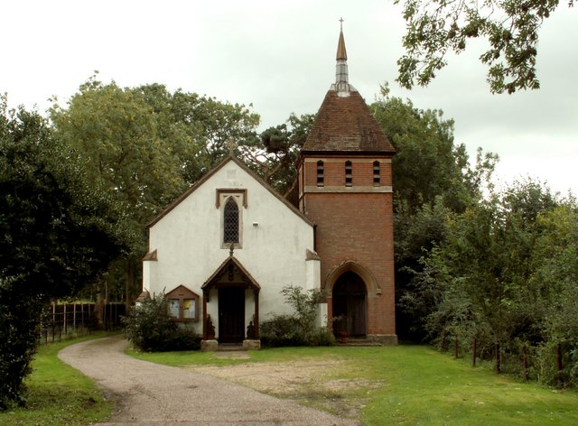
Spouse's Grove Images
Images are sourced within 2km of 51.989833/0.8171727 or Grid Reference TL9336. Thanks to Geograph Open Source API. All images are credited.


Spouse's Grove is located at Grid Ref: TL9336 (Lat: 51.989833, Lng: 0.8171727)
Administrative County: Suffolk
District: Babergh
Police Authority: Suffolk
What 3 Words
///trade.stacks.adjusting. Near Bures St Mary, Suffolk
Nearby Locations
Related Wikis
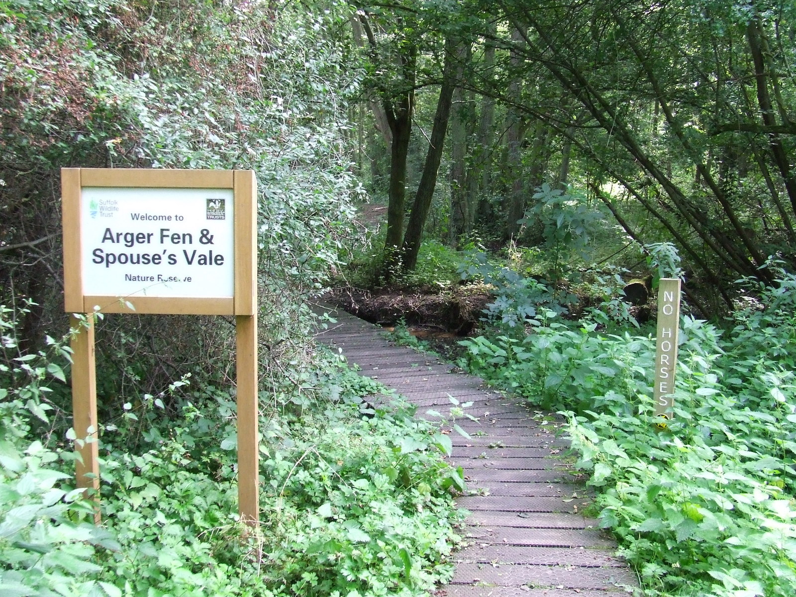
Arger Fen
Arger Fen is a 49.7-hectare (123-acre) biological Site of Special Scientific Interest (SSSI) south-east of Sudbury in Suffolk, England. The site occupies...

Tiger Hill, Suffolk
Tiger Hill is a 21 hectare Local Nature Reserve between Bures St Mary and Leavenheath in Suffolk. It is owned by [a group of landowners and declared under...
Leavenheath
Leavenheath is a village and civil parish in Suffolk, England, close to the Essex border. Located on the A134 between Sudbury and Colchester, it is part...
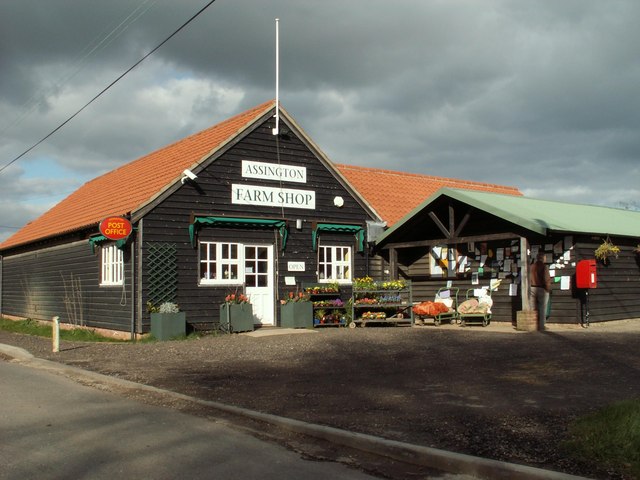
Assington
Assington is a village in Suffolk, England, 4 miles (6.4 km) south-east of Sudbury. At the 2011 Census it had a population of 402, estimated at 445 in...

Sudbury transmitting station
The Sudbury transmitting station is a facility for telecommunications and broadcasting transmission at Sudbury, England. It consists of two guyed masts...
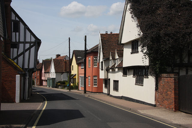
Bures, England
Bures is a village in eastern England that straddles the Essex/Suffolk border, made up of two civil parishes: Bures Hamlet in Essex and Bures St. Mary...

Smallbridge Hall
Smallbridge Hall is a Grade II* listed English country house in Bures St. Mary, Suffolk, near Colchester, England. The house is partially surrounded by...
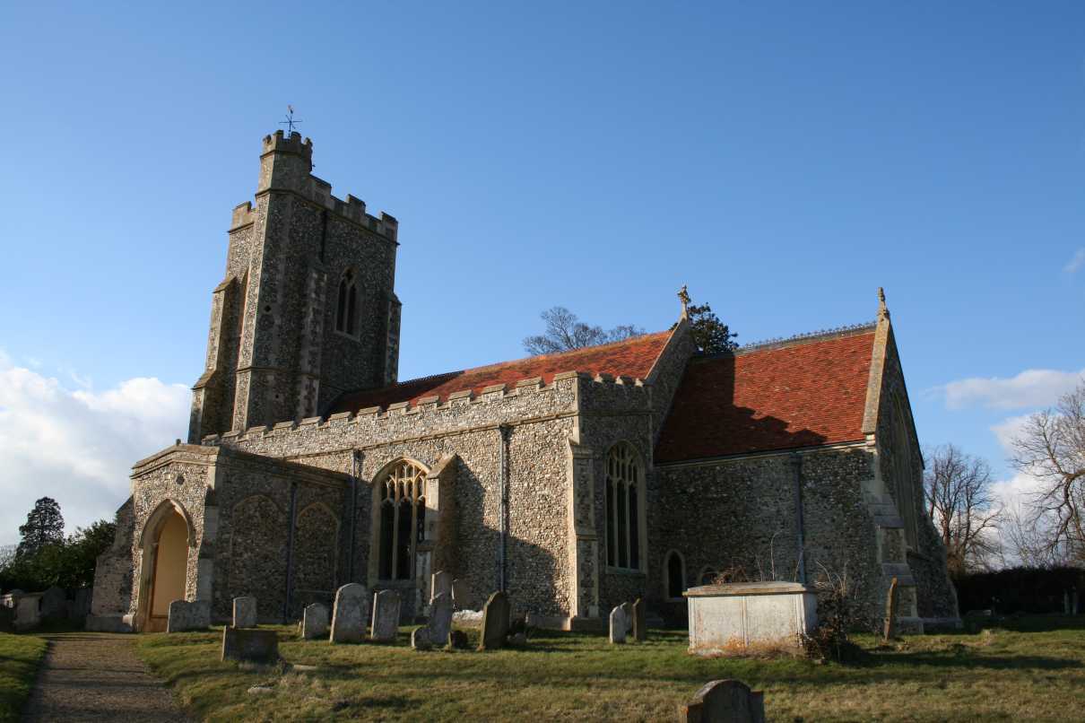
Bures St Mary
Bures St Mary is a civil parish in the Babergh district of the English county of Suffolk. In 2005 it had a population of 940, reducing to 918 at the 2011...
Nearby Amenities
Located within 500m of 51.989833,0.8171727Have you been to Spouse's Grove?
Leave your review of Spouse's Grove below (or comments, questions and feedback).