Kilnground Grove
Wood, Forest in Suffolk Babergh
England
Kilnground Grove

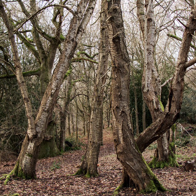
Kilnground Grove, located in Suffolk, England, is an enchanting wood and forest area that offers a serene and picturesque experience for nature enthusiasts. Spanning over a vast expanse of land, the grove is a haven for diverse plant and animal species, making it a popular destination for wildlife enthusiasts and birdwatchers.
The forest is characterized by its dense canopy of towering trees, primarily consisting of oak, ash, and beech, which provide a cool and shady refuge during the summer months. The forest floor is covered with a rich layer of leaf litter, creating a natural carpet that is home to a variety of mosses, ferns, and wildflowers, adding to the area's beauty and biodiversity.
Visitors to Kilnground Grove can expect to encounter a plethora of wildlife, including deer, foxes, badgers, and an array of bird species such as woodpeckers, owls, and songbirds. The grove is a popular spot for birdwatching, with numerous designated viewpoints and trails for enthusiasts to observe and appreciate the diverse avian population.
Aside from its natural beauty, Kilnground Grove also holds historical significance. The grove was once a part of a larger ancient woodland, and remnants of this history can still be seen in the form of ancient trees and archaeological features.
For those seeking a tranquil escape, Kilnground Grove offers a peaceful retreat, with its winding paths and secluded clearings providing opportunities for leisurely walks, picnics, and photography. Whether it be the vibrant colors of spring, the lush greenery of summer, or the striking autumn foliage, Kilnground Grove offers a captivating and ever-changing landscape throughout the seasons.
If you have any feedback on the listing, please let us know in the comments section below.
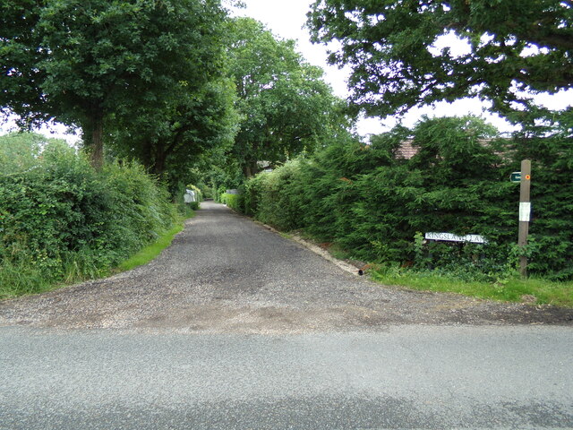
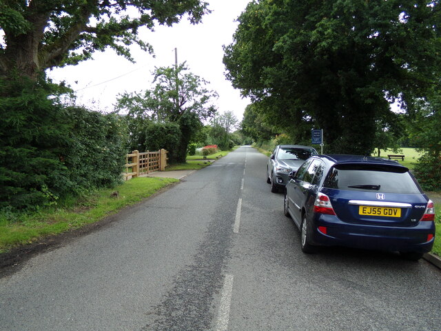
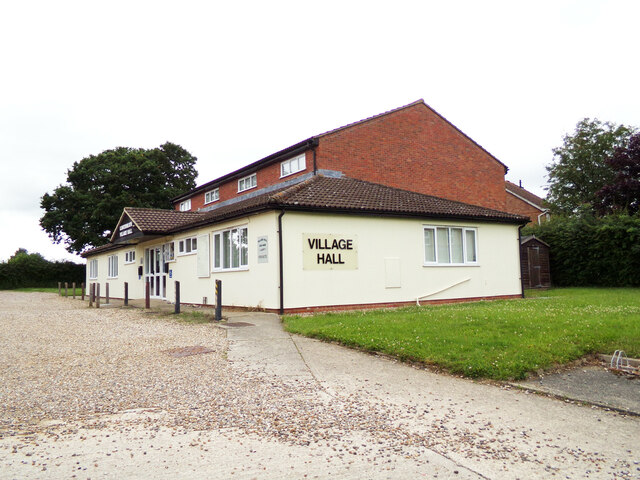
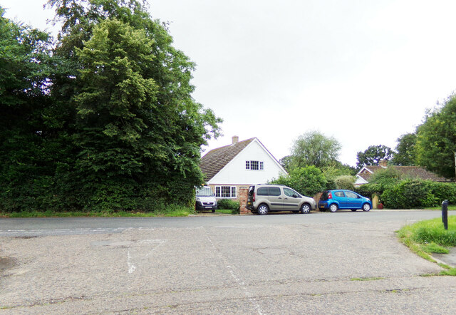
Kilnground Grove Images
Images are sourced within 2km of 51.989535/0.81533313 or Grid Reference TL9336. Thanks to Geograph Open Source API. All images are credited.


Kilnground Grove is located at Grid Ref: TL9336 (Lat: 51.989535, Lng: 0.81533313)
Administrative County: Suffolk
District: Babergh
Police Authority: Suffolk
What 3 Words
///dignitary.craters.vine. Near Bures St Mary, Suffolk
Nearby Locations
Related Wikis
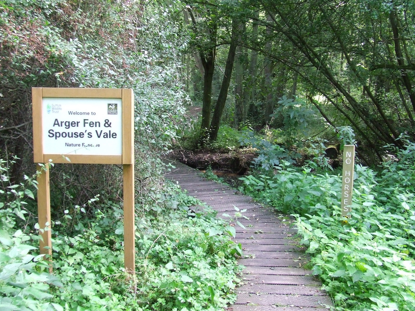
Arger Fen
Arger Fen is a 49.7-hectare (123-acre) biological Site of Special Scientific Interest (SSSI) south-east of Sudbury in Suffolk, England. The site occupies...

Tiger Hill, Suffolk
Tiger Hill is a 21 hectare Local Nature Reserve between Bures St Mary and Leavenheath in Suffolk. It is owned by [a group of landowners and declared under...
Leavenheath
Leavenheath is a village and civil parish in Suffolk, England, close to the Essex border. Located on the A134 between Sudbury and Colchester, it is part...
Assington
Assington is a village in Suffolk, England, 4 miles (6.4 km) south-east of Sudbury. At the 2011 Census it had a population of 402, estimated at 445 in...

Sudbury transmitting station
The Sudbury transmitting station is a facility for telecommunications and broadcasting transmission at Sudbury, England. It consists of two guyed masts...
Bures, England
Bures is a village in eastern England that straddles the Essex/Suffolk border, made up of two civil parishes: Bures Hamlet in Essex and Bures St. Mary...

Smallbridge Hall
Smallbridge Hall is a Grade II* listed English country house in Bures St. Mary, Suffolk, near Colchester, England. The house is partially surrounded by...
Bures St Mary
Bures St Mary is a civil parish in the Babergh district of the English county of Suffolk. In 2005 it had a population of 940, reducing to 918 at the 2011...
Nearby Amenities
Located within 500m of 51.989535,0.81533313Have you been to Kilnground Grove?
Leave your review of Kilnground Grove below (or comments, questions and feedback).