Northland Wood
Wood, Forest in Kent Ashford
England
Northland Wood
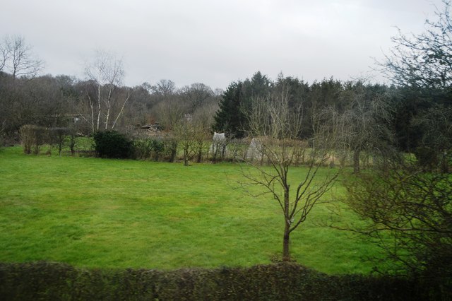
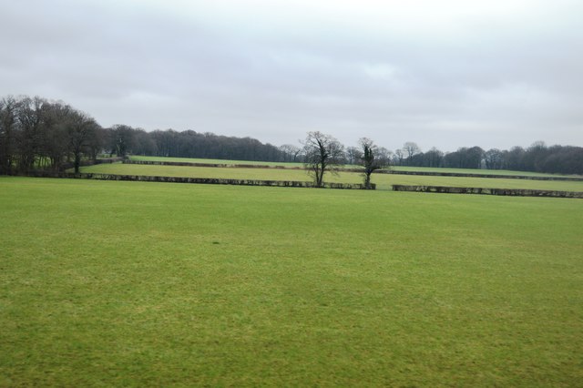
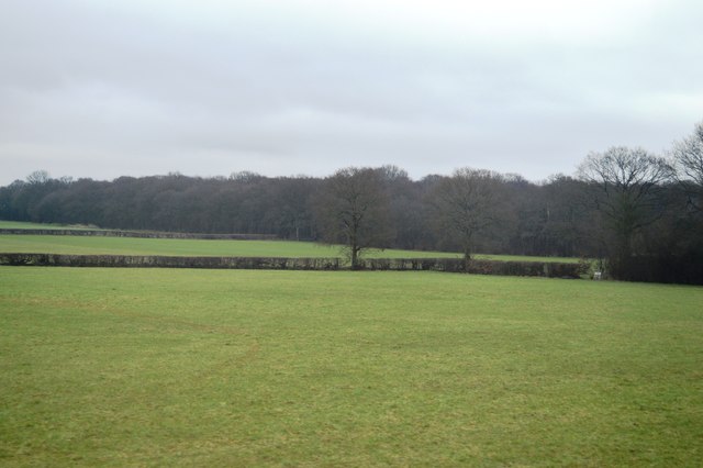
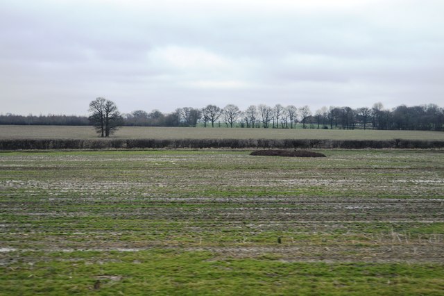
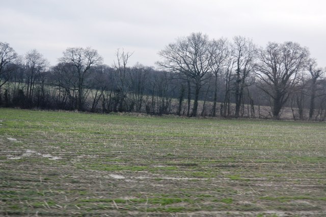
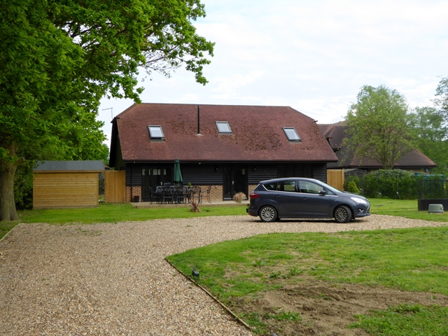
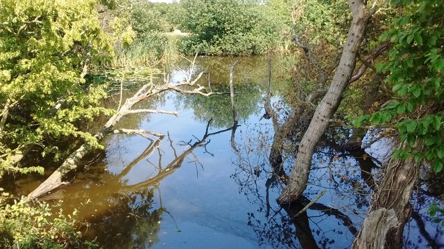
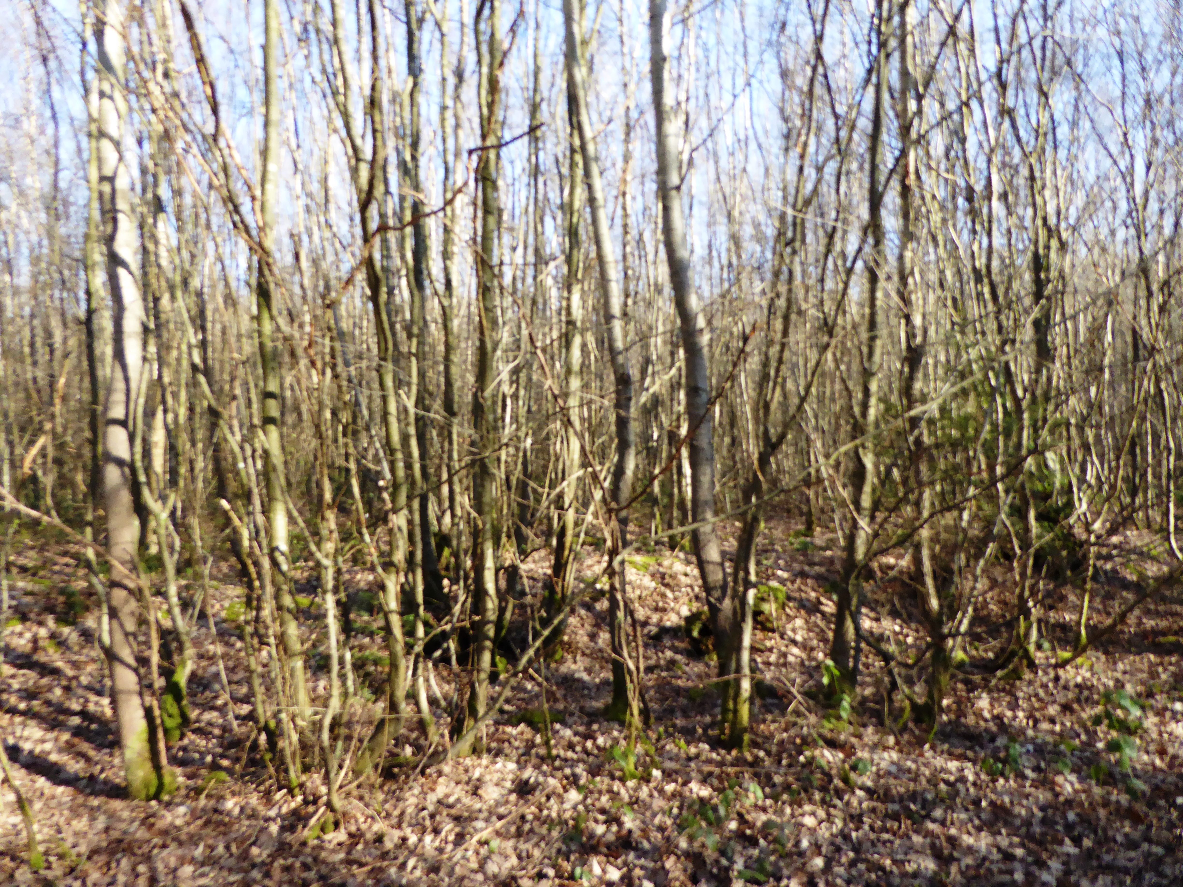
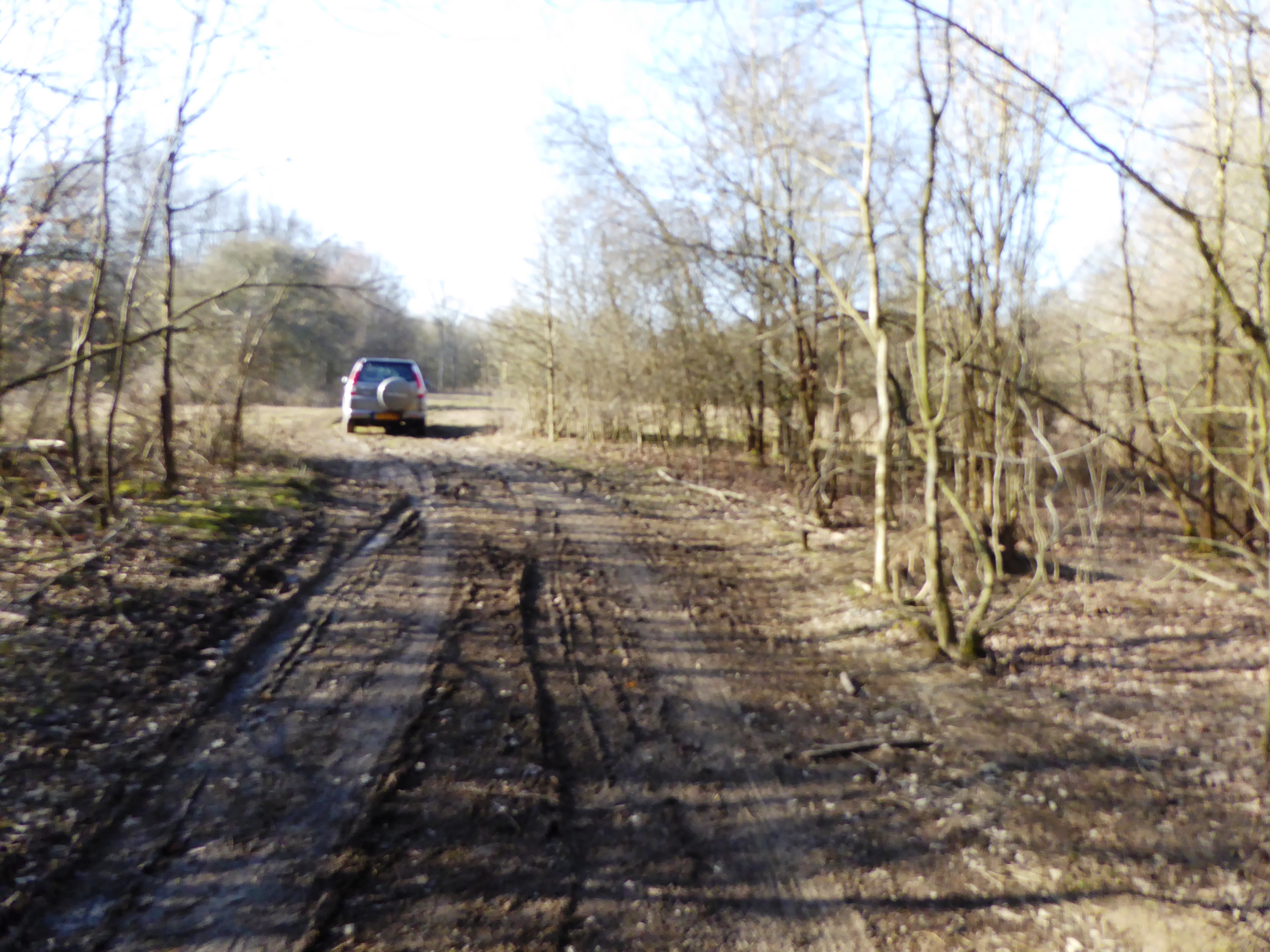
Northland Wood, located in Kent, England, is a picturesque forest encompassing an area of approximately [insert size] hectares. The woodland is renowned for its natural beauty and diverse ecosystem, making it a popular destination for nature enthusiasts and hikers alike.
Comprising an assortment of native tree species such as oak, beech, and birch, Northland Wood showcases a vibrant canopy that changes colors with the seasons, providing a stunning display of autumnal hues. The forest floor is adorned with a rich carpet of wildflowers, ferns, and mosses, adding to the enchanting atmosphere created by the towering trees.
The wood's biodiversity is apparent through the presence of various animal species that call this area home. Birdwatchers can spot a plethora of avian residents, including woodpeckers, owls, and songbirds. Squirrels, rabbits, and deer are also commonly encountered within the woodland, adding to the sense of tranquility and natural harmony.
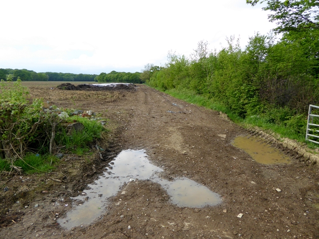
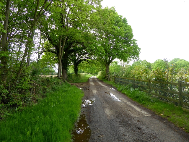
Northland Wood offers a network of well-maintained trails, allowing visitors to explore its beauty while immersing themselves in the peaceful ambiance. The paths wind through the forest, leading to hidden clearings and viewpoints, providing stunning vistas of the surrounding countryside.
The wood is managed by a dedicated team of conservationists who strive to preserve its natural heritage. They ensure that the delicate balance of the ecosystem is maintained through sustainable practices and the protection of rare and endangered species.
In summary, Northland Wood stands as a captivating testament to the beauty of nature in Kent. With its diverse flora and fauna, scenic trails, and dedicated conservation efforts, it remains a cherished destination for those seeking solace in the great outdoors.
If you have any feedback on the listing, please let us know in the comments section below.
Northland Wood Images
Images are sourced within 2km of 51.109471/0.76250921 or Grid Reference TQ9338. Thanks to Geograph Open Source API. All images are credited.


Northland Wood is located at Grid Ref: TQ9338 (Lat: 51.109471, Lng: 0.76250921)
Administrative County: Kent
District: Ashford
Police Authority: Kent
What 3 Words
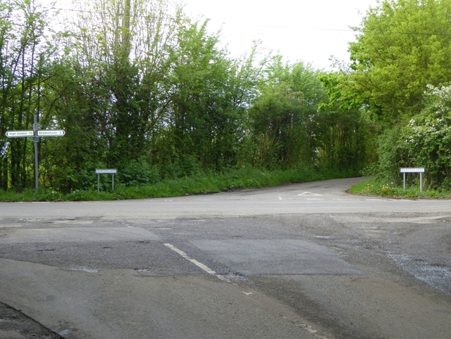
///spun.illogical.shock. Near High Halden, Kent
Nearby Locations
Related Wikis

National Cycle Route 18
National Cycle Route 18 (NCR18) runs from Canterbury to Royal Tunbridge Wells. It follows the valley of the River Stour to Ashford and then runs through...

RAF Woodchurch
Royal Air Force Woodchurch, or more simply RAF Woodchurch, is a former Royal Air Force Advanced Landing Ground located in Kent, England. The airfield...
Bethersden
Bethersden is a village and civil parish in the borough of Ashford in Kent, England, 5 miles (8 km) west of the town of Ashford. Located on the main road...
Shirkoak
Shirkoak is a hamlet in the civil parish of Woodchurch, southwest of the town of Ashford in Kent, England. == External links == Media related to Shirkoak...

Ashford (UK Parliament constituency)
Ashford is a constituency in Kent created in 1885 and represented in the House of Commons of the UK Parliament since 1997 by Damian Green, a Conservative...

Lower Mill, Woodchurch
Lower Mill is a smock mill in Woodchurch, Kent, England that was built in 1820. It is a Scheduled Ancient Monument and a Grade II* listed building. �...
Stone Wood
Stone Wood is a nature reserve south-west of Shadoxhurst in Kent. It is managed by Kent Wildlife Trust (KWT).This site was clear felled in 1992 and left...
Alex Farm Pastures
Alex Farm Pastures is a 4.5-hectare (11-acre) biological Site of Special Scientific Interest south of Shadoxhurst in Kent.This site has unimproved neutral...
Nearby Amenities
Located within 500m of 51.109471,0.76250921Have you been to Northland Wood?
Leave your review of Northland Wood below (or comments, questions and feedback).