Davis Wood
Wood, Forest in Kent Ashford
England
Davis Wood
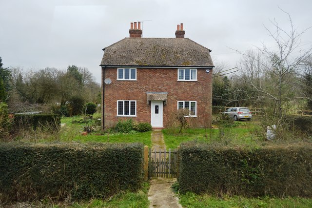
Davis Wood, Kent (also known as Wood, Forest) is a small village located in the picturesque county of Kent, in southeastern England. Situated in the district of Sevenoaks, the village is nestled within the beautiful woodland of the Kent Downs Area of Outstanding Natural Beauty.
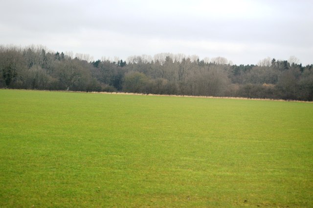
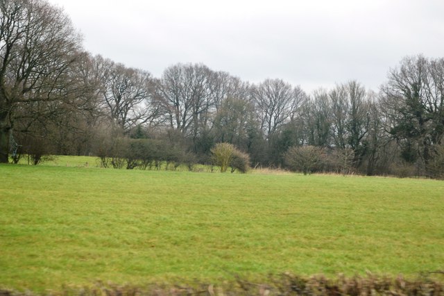
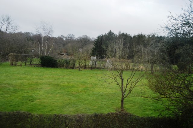
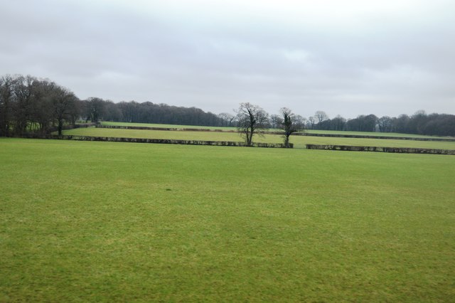
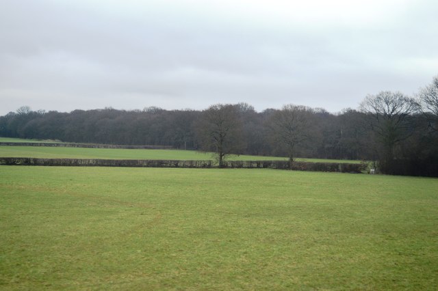
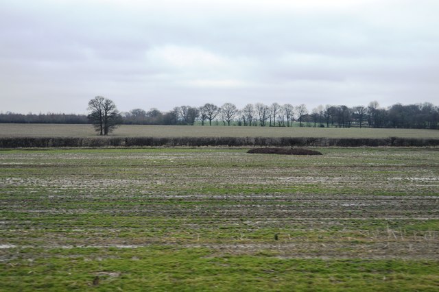
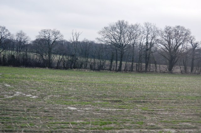
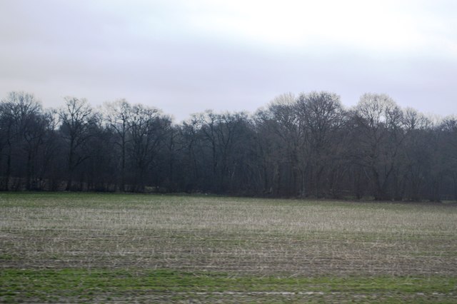
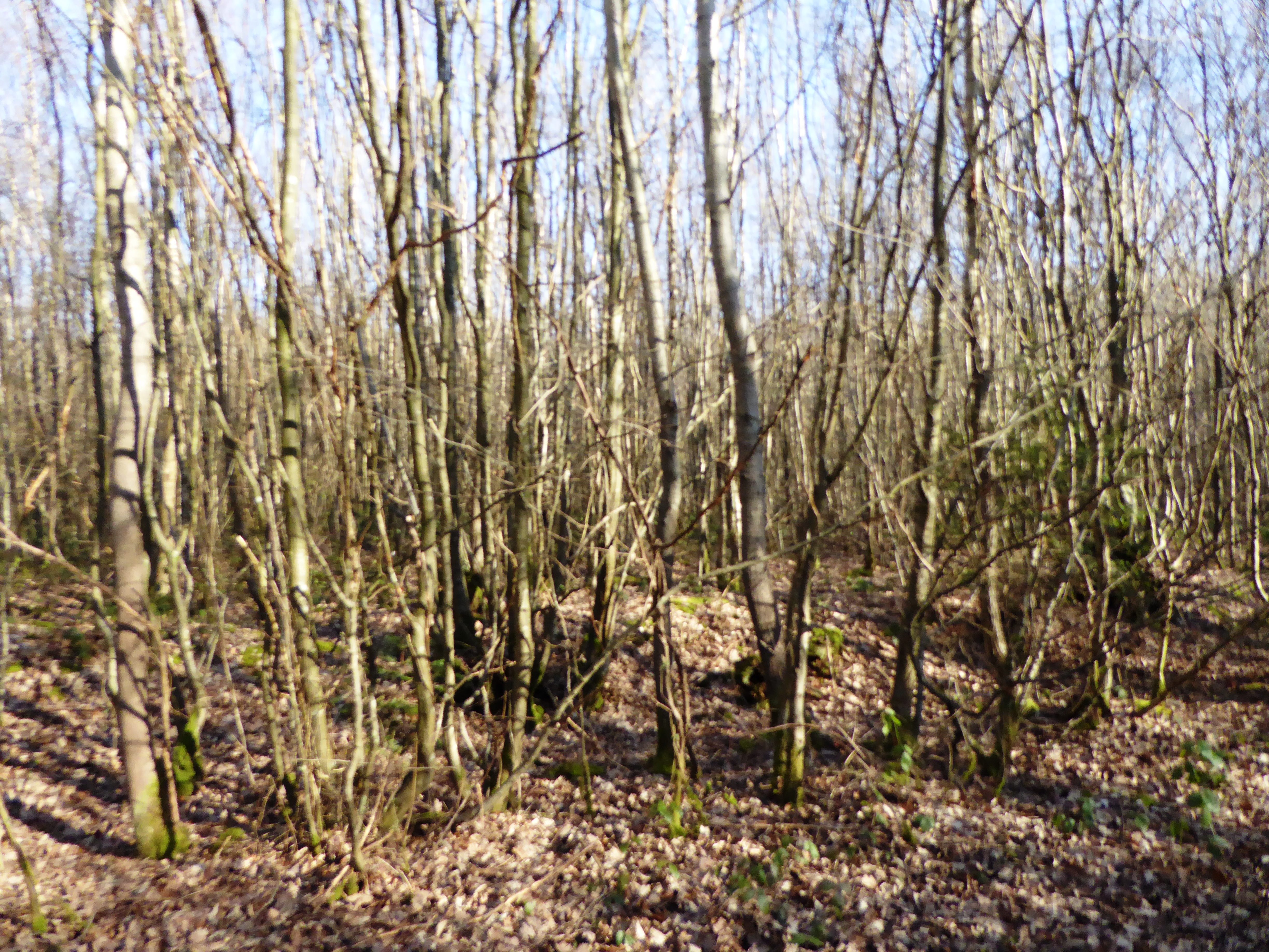
Known for its tranquil surroundings and abundant natural beauty, Davis Wood offers residents and visitors a peaceful retreat from the hustle and bustle of city life. The village is characterized by its lush green landscapes, ancient woodlands, and scenic walking trails, making it an ideal destination for nature enthusiasts and hikers.
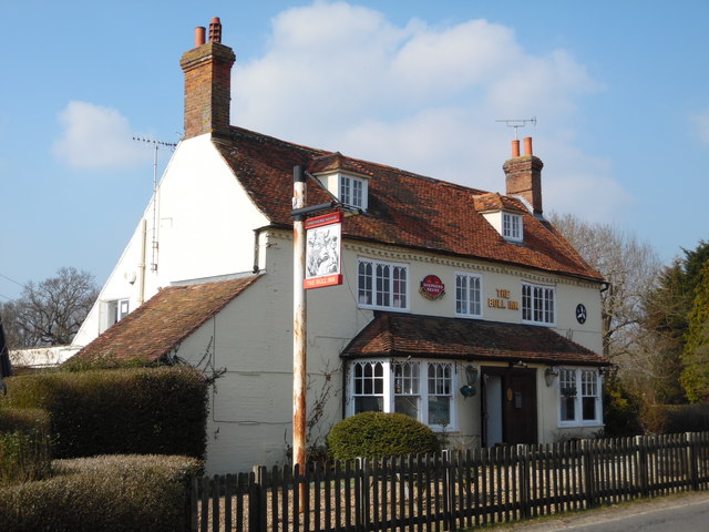
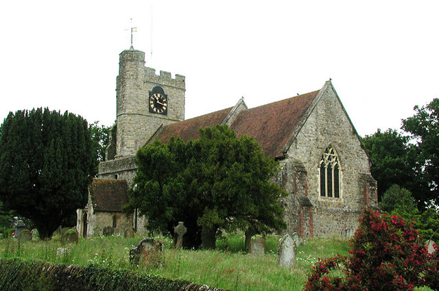
The community of Davis Wood is tight-knit, with a small population of approximately 200 residents. The village is known for its friendly and welcoming atmosphere, where neighbors often gather for community events and socialize at the local pub, The Woodland Inn. The village also has a quaint village hall, which serves as a hub for various activities and gatherings.
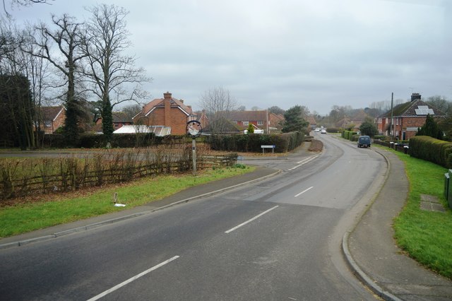
Despite its small size, Davis Wood is conveniently located near the town of Sevenoaks, which offers a range of amenities including shops, restaurants, and leisure facilities. The village is also well-connected to the wider region, with good transport links to nearby towns and cities.
In conclusion, Davis Wood, Kent (Wood, Forest) is a charming village in the heart of the Kent Downs. With its stunning natural surroundings, close-knit community, and convenient location, it offers residents and visitors a peaceful and idyllic rural retreat.
If you have any feedback on the listing, please let us know in the comments section below.
Davis Wood Images
Images are sourced within 2km of 51.116716/0.76081224 or Grid Reference TQ9338. Thanks to Geograph Open Source API. All images are credited.

Davis Wood is located at Grid Ref: TQ9338 (Lat: 51.116716, Lng: 0.76081224)
Administrative County: Kent
District: Ashford
Police Authority: Kent
What 3 Words
///gather.merely.video. Near High Halden, Kent
Nearby Locations
Related Wikis
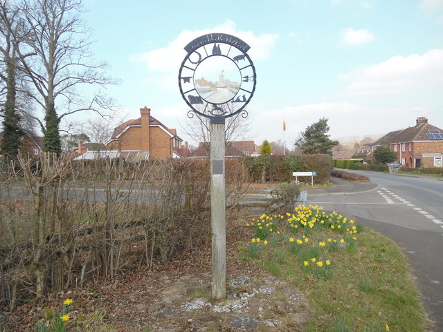
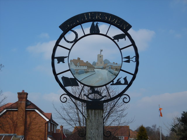
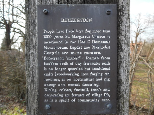
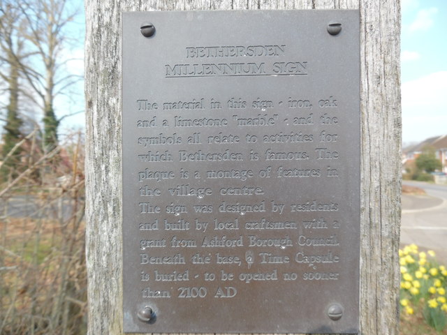
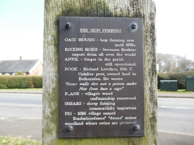
Bethersden
Bethersden is a village and civil parish in the borough of Ashford in Kent, England, 5 miles (8 km) west of the town of Ashford. Located on the main road...

National Cycle Route 18
National Cycle Route 18 (NCR18) runs from Canterbury to Royal Tunbridge Wells. It follows the valley of the River Stour to Ashford and then runs through...

RAF Woodchurch
Royal Air Force Woodchurch, or more simply RAF Woodchurch, is a former Royal Air Force Advanced Landing Ground located in Kent, England. The airfield...
Shirkoak
Shirkoak is a hamlet in the civil parish of Woodchurch, southwest of the town of Ashford in Kent, England. == External links == Media related to Shirkoak...

Ashford (UK Parliament constituency)
Ashford is a constituency in Kent created in 1885 and represented in the House of Commons of the UK Parliament since 1997 by Damian Green, a Conservative...
Stone Wood
Stone Wood is a nature reserve south-west of Shadoxhurst in Kent. It is managed by Kent Wildlife Trust (KWT).This site was clear felled in 1992 and left...
High Halden
High Halden is a village and civil parish in the Ashford District of Kent, England. The village is on the A28 road between Ashford and Tenterden, 3 miles...

Lower Mill, Woodchurch
Lower Mill is a smock mill in Woodchurch, Kent, England that was built in 1820. It is a Scheduled Ancient Monument and a Grade II* listed building. �...
Nearby Amenities
Located within 500m of 51.116716,0.76081224Have you been to Davis Wood?
Leave your review of Davis Wood below (or comments, questions and feedback).