Copfordhall Wood
Wood, Forest in Essex Colchester
England
Copfordhall Wood
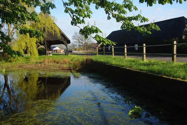
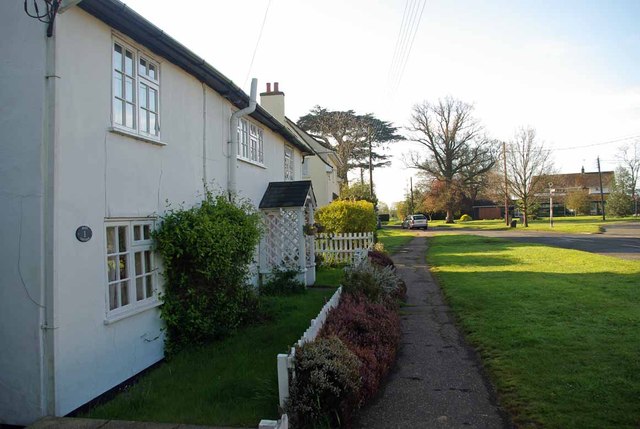
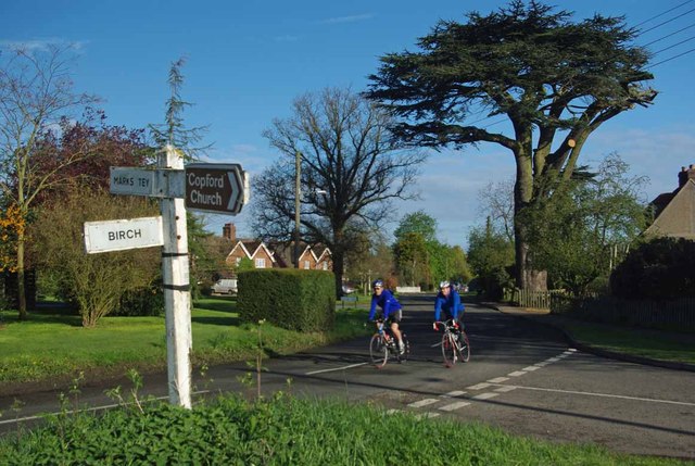
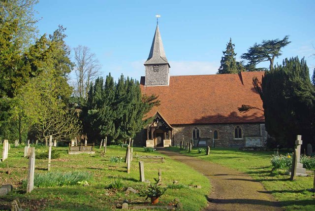
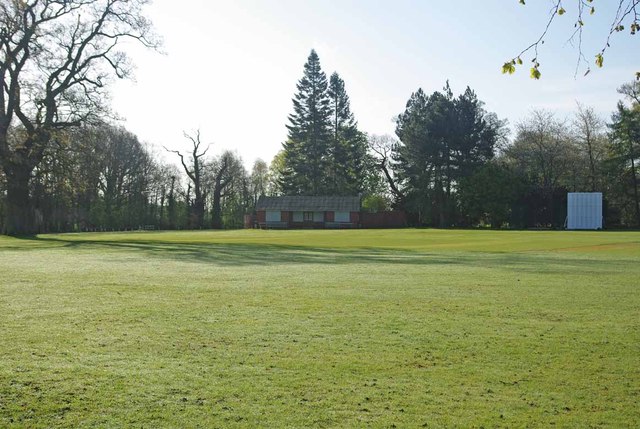
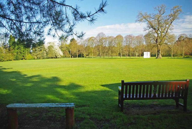
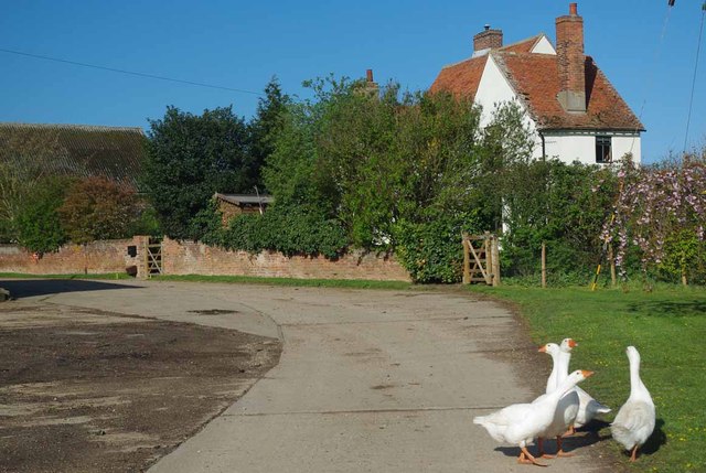
Copfordhall Wood is a picturesque woodland located in Essex, England. Covering an area of approximately 200 acres, it is a haven for nature enthusiasts and a popular spot for walking, birdwatching, and other outdoor activities. The woodland is situated near the village of Copford, just a few miles south of Colchester.
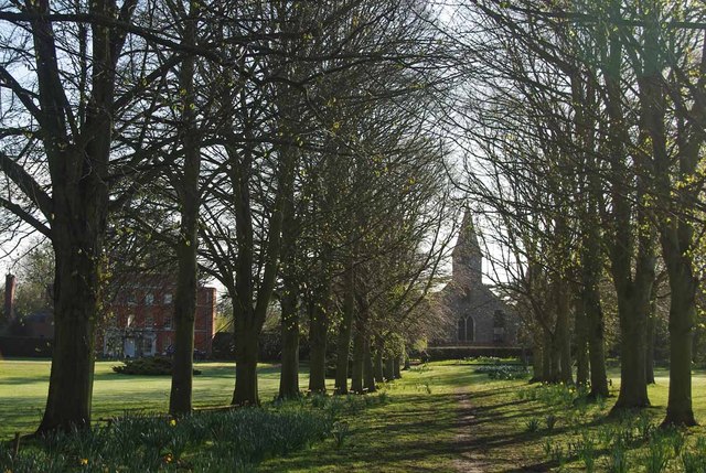
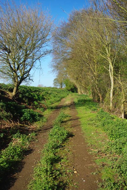
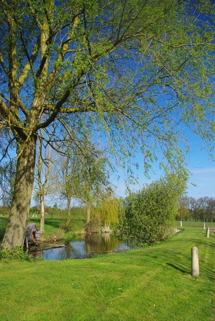
The wood consists mainly of broadleaf trees, including oak, beech, and birch, which create a dense canopy overhead. This provides a cool and tranquil atmosphere, making it an ideal escape from the hustle and bustle of nearby urban areas. The forest floor is carpeted with a variety of wildflowers, ferns, and mosses, adding to the beauty and diversity of the area.
Copfordhall Wood is home to a wide range of wildlife, including deer, foxes, badgers, and numerous species of birds. Birdwatchers can spot woodpeckers, owls, and various songbirds, especially in the early morning and evening hours. The woodland is also a designated Site of Special Scientific Interest (SSSI) due to its importance for conservation, with several rare and protected species of plants and insects found within its boundaries.
A network of well-maintained footpaths and trails crisscrosses the wood, allowing visitors to explore its natural wonders. The paths lead to tranquil ponds, hidden glades, and ancient trees, providing ample opportunities for peaceful walks and wildlife observation. Additionally, there are several picnic areas and benches scattered throughout the wood, allowing visitors to relax and enjoy the surroundings.
Overall, Copfordhall Wood offers a serene and idyllic setting for nature lovers and those seeking a peaceful retreat in the heart of Essex.
If you have any feedback on the listing, please let us know in the comments section below.
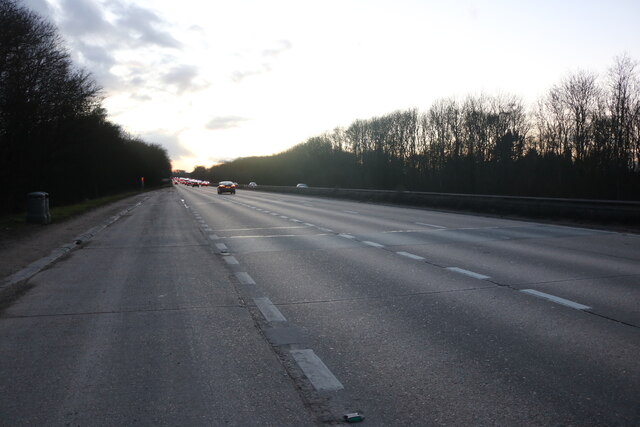
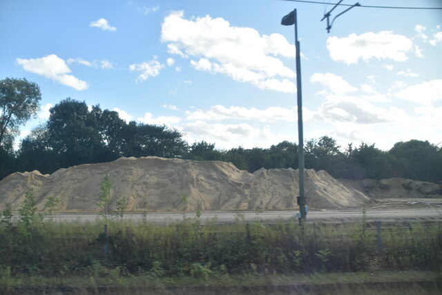
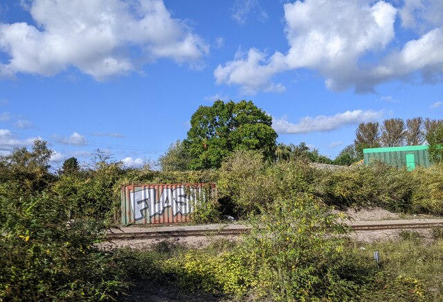
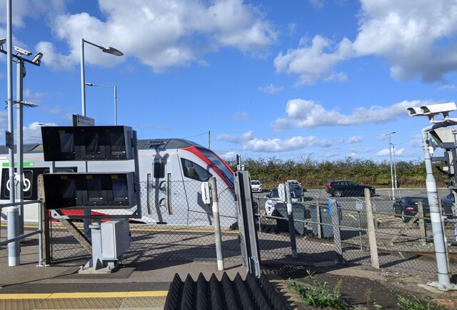
Copfordhall Wood Images
Images are sourced within 2km of 51.872362/0.8088625 or Grid Reference TL9323. Thanks to Geograph Open Source API. All images are credited.
Copfordhall Wood is located at Grid Ref: TL9323 (Lat: 51.872362, Lng: 0.8088625)
Administrative County: Essex
District: Colchester
Police Authority: Essex
What 3 Words
///scribble.pokes.country. Near Eight Ash Green, Essex
Nearby Locations
Related Wikis

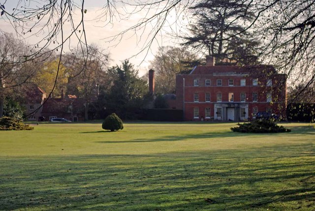
Copford Hall
Copford Hall is a manorial seat and Grade II listed country house, with gardens by Capability Brown, in the village of Copford, Essex, England, 46 miles...

Copford Green
Copford Green is a hamlet within the civil parish of Copford and the district of Colchester in Essex, England. It is near the A12 and A120 roads, and is...
Copford
Copford is a village and civil parish in the City of Colchester district of Essex, England. It is 3 kilometres (2 mi) west of Colchester, and the hamlet...
Stanway, Essex
Stanway is a village and civil parish in Essex, England near Colchester and within Colchester Borough. 'Stanway' is an Anglo-Saxon name for the 'stone...

Heckfordbridge
Heckfordbridge or Heckford is a hamlet in the civil parish of Birch, in the county of Essex, England. The settlement is on the B1022 road, between Colchester...

Colchester Zoo
Colchester Zoo is a zoological garden situated near Colchester, England. The zoo opened in 1963 and celebrated its 60th anniversary on 2 June 2023. It...

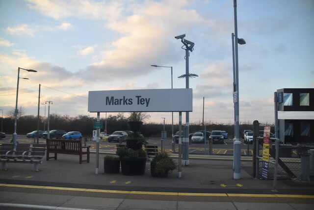
Marks Tey railway station
Marks Tey railway station is on the Great Eastern Main Line (GEML) in the East of England, serving the large village of Marks Tey, Essex. It is 46 miles...

Hardy's Green
Hardy's Green is a hamlet in civil parish of Birch in the Colchester district, in the county of Essex, England. Nearby settlements include the large town...
Nearby Amenities
Located within 500m of 51.872362,0.8088625Have you been to Copfordhall Wood?
Leave your review of Copfordhall Wood below (or comments, questions and feedback).