Stallington Wood

Wood, Forest in Suffolk Babergh

England

Stallington Wood

Edwardstone village sign Suffolk has 400 villages and towns with village or town signs, give or take one or two. 
The tradition of village signs is believed to have started in Norfolk early in the 20th century when Edward VII suggested that village signs would aid motorists and give a feature of interest on the Sandringham Estate.
Many of the signs  were made by Harry Carter, an art and woodwork master at Hamond’s Grammar School, in Swaffham.
Many have now been replaced with fibreglass or modern plastics. The story behind the sign is given as accurately as possible.
Edwardstone village sign Credit: Bob Mitchell

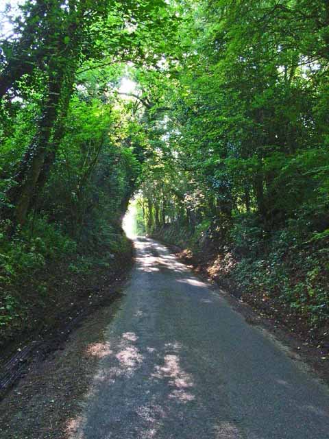
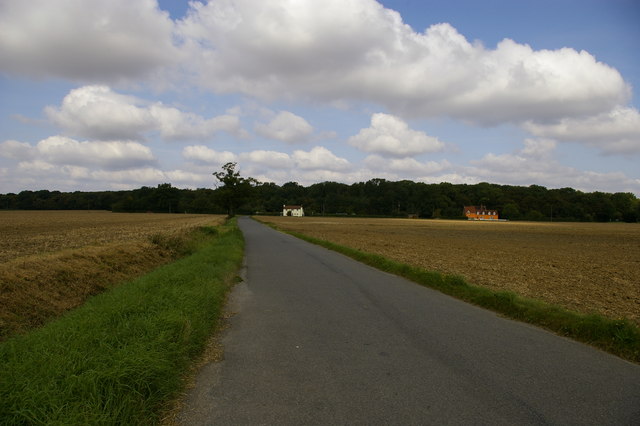
Stallington Wood is a picturesque forest located in Suffolk, England. Covering an area of approximately 500 acres, it is a popular destination for nature enthusiasts and outdoor lovers. The wood is nestled in a rural landscape, surrounded by rolling hills and meandering streams, creating a serene and tranquil atmosphere.

The wood is predominantly made up of deciduous trees, including oak, beech, and ash, which provide a stunning display of vibrant colors throughout the year. In spring, the forest floor is carpeted with bluebells and wildflowers, creating a breathtaking sight. During the summer months, the canopy of leaves provides shade and a cool respite from the heat.

Stallington Wood is home to a diverse array of wildlife, making it a haven for animal lovers and birdwatchers. Visitors may spot deer roaming freely, squirrels darting through the trees, and a variety of bird species, including woodpeckers, owls, and thrushes.

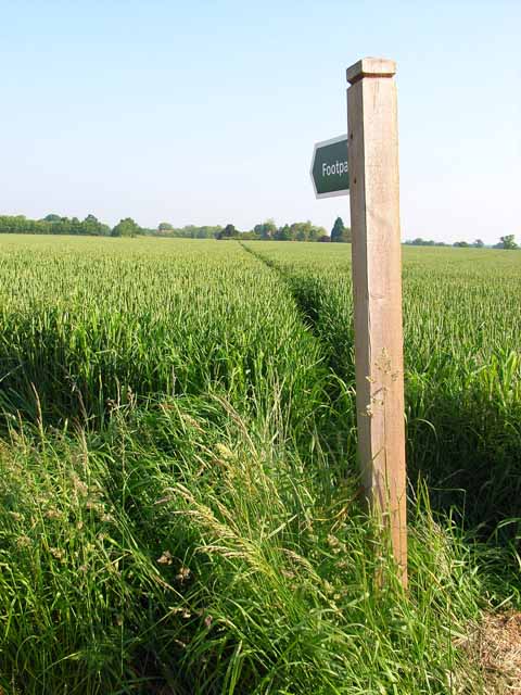
There are several walking trails and paths that crisscross through the wood, providing ample opportunities for exploration and discovery. These trails cater to different levels of difficulty, ensuring there is something for everyone. Whether one prefers a leisurely stroll or a more challenging hike, Stallington Wood has it all.

Additionally, the wood offers designated picnic areas and benches, allowing visitors to relax and enjoy the peaceful surroundings. It is a perfect place for a family outing or a quiet escape from the hustle and bustle of everyday life.

In summary, Stallington Wood in Suffolk is a beautiful and diverse forest that offers a serene and natural escape for visitors. With its stunning scenery, abundant wildlife, and various walking trails, it is a must-visit destination for nature enthusiasts and those seeking a tranquil retreat.

If you have any feedback on the listing, please let us know in the comments section below.

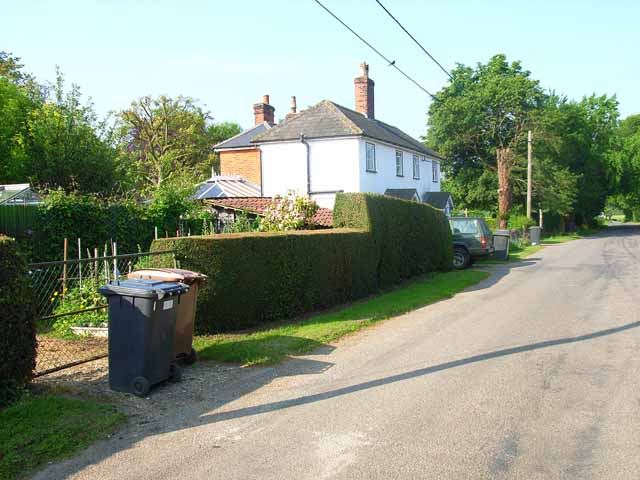
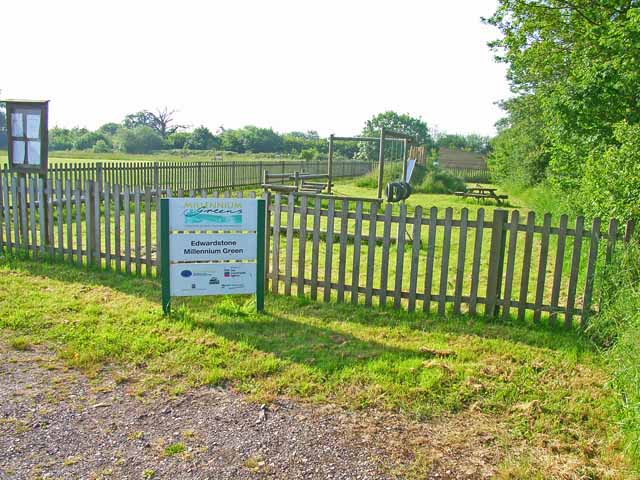
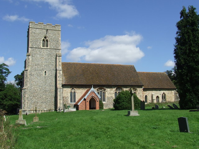
Stallington Wood Images

Images are sourced within 2km of 52.051817/0.82008008 or Grid Reference TL9343. Thanks to Geograph Open Source API. All images are credited.

Edwardstone village sign Suffolk has 400 villages and towns with village or town signs, give or take one or two. 
The tradition of village signs is believed to have started in Norfolk early in the 20th century when Edward VII suggested that village signs would aid motorists and give a feature of interest on the Sandringham Estate.
Many of the signs  were made by Harry Carter, an art and woodwork master at Hamond’s Grammar School, in Swaffham.
Many have now been replaced with fibreglass or modern plastics. The story behind the sign is given as accurately as possible.
Edwardstone village sign
Suffolk has 400 villages and towns with village or town signs, give or take one or two. The tradition of village signs is believed to have started in Norfolk early in the 20th century when Edward VII suggested that village signs would aid motorists and give a feature of interest on the Sandringham Estate. Many of the signs were made by Harry Carter, an art and woodwork master at Hamond’s Grammar School, in Swaffham. Many have now been replaced with fibreglass or modern plastics. The story behind the sign is given as accurately as possible.
St. Mary the Virgin, Edwardstone
Gatehouse to Edwardstone Hall, Suffolk The entrance through this gatehouse leads to the parish church of Edwardstone. The actual Hall has largely been demolished and the church sits in the hall's grounds.
Gatehouse to Edwardstone Hall, Suffolk
The entrance through this gatehouse leads to the parish church of Edwardstone. The actual Hall has largely been demolished and the church sits in the hall's grounds.
Meadow View, Great Waldingfield A prefab out in the country.
Meadow View, Great Waldingfield
A prefab out in the country.
Cornfield near Great Waldingfield Extensive arable farming, seen from the back lane from Great Waldingfield to Edwardstone.
Cornfield near Great Waldingfield
Extensive arable farming, seen from the back lane from Great Waldingfield to Edwardstone.
Sunken lane between Great Waldingfield and Edwardstone A sunken lane like this, running in a cutting and overhung by trees is rather uncharacteristic of Suffolk, where open fields, roads and skies are more the norm.
Sunken lane between Great Waldingfield and Edwardstone
A sunken lane like this, running in a cutting and overhung by trees is rather uncharacteristic of Suffolk, where open fields, roads and skies are more the norm.
Footpath near Little Waldingfield A good broad swathe has been cut through this cornfield to allow space for the footpath.
Footpath near Little Waldingfield
A good broad swathe has been cut through this cornfield to allow space for the footpath.
Bin day at Edwardstone
Footpath near Edwardstone A very narrow swathe cut through this cornfield barely accommodates the passage of walkers. Contrast with <a href="https://www.geograph.org.uk/gridref/TL9343">TL9343</a>.
Footpath near Edwardstone
A very narrow swathe cut through this cornfield barely accommodates the passage of walkers. Contrast with TL9343.
Play area in Edwardstone Millennium Green, Mill Green This is one of the 250 Millennium Greens established in the year 2000 by an initiative of the Countryside Agency and supported by the Millennium Commission. <span class="nowrap"><a title="http://www.qv08.dial.pipex.com/millenniumgreen/index.shtml" rel="nofollow ugc noopener" href="http://www.qv08.dial.pipex.com/millenniumgreen/index.shtml">Link</a><img style="margin-left:2px;" alt="External link" title="External link - shift click to open in new window" src="https://s1.geograph.org.uk/img/external.png" width="10" height="10"/></span> This green includes both open space and a children's playground. The play area is in the hamlet of Mill Green, opposite the White Horse pub.
Play area in Edwardstone Millennium Green, Mill Green
This is one of the 250 Millennium Greens established in the year 2000 by an initiative of the Countryside Agency and supported by the Millennium Commission. LinkExternal link This green includes both open space and a children's playground. The play area is in the hamlet of Mill Green, opposite the White Horse pub.
Public Footpath, close to Little Waldingfield, Suffolk
Metal graveyard By the lane beyond Archers Farm, Little Waldingfield. What amused me most was the image of the tractor eyeing up the Fiat, but the expression frozen on its face!
Metal graveyard
By the lane beyond Archers Farm, Little Waldingfield. What amused me most was the image of the tractor eyeing up the Fiat, but the expression frozen on its face!
Metal graveyard (again) The 180 degree view from <a href="https://www.geograph.org.uk/photo/477983">TL9344 : Metal graveyard</a> showing the relative scale of the two protagonists! The tractor even has a tree growing through its undercarriage.
Metal graveyard (again)
The 180 degree view from TL9344 : Metal graveyard showing the relative scale of the two protagonists! The tractor even has a tree growing through its undercarriage.
Field Edge Footpath and field boundary near to Edwardstone, Suffolk.
Field Edge
Footpath and field boundary near to Edwardstone, Suffolk.
Footbridge And Field Boundary Small footbridge across a small ditch near to Edwardstone, Suffolk.
Footbridge And Field Boundary
Small footbridge across a small ditch near to Edwardstone, Suffolk.
Footpath To Cowper's Wood Footpath across a crop of sugar beet field with Cowper's Wood in the distance near to Boxford Suffolk.
Footpath To Cowper's Wood
Footpath across a crop of sugar beet field with Cowper's Wood in the distance near to Boxford Suffolk.
Waiting To Get Back To Work Combine harvester parked up for the weekend near to Edwardstone, Suffolk.
Waiting To Get Back To Work
Combine harvester parked up for the weekend near to Edwardstone, Suffolk.
The Business End The front end of a combine harvester parked up for the weekend near to Edwardstone, Suffolk.
The Business End
The front end of a combine harvester parked up for the weekend near to Edwardstone, Suffolk.
Show me another place!

Stallington Wood is located at Grid Ref: TL9343 (Lat: 52.051817, Lng: 0.82008008)

Administrative County: Suffolk

District: Babergh

Police Authority: Suffolk

What 3 Words

///juicy.sleepers.making. Near Great Waldingfield, Suffolk

Nearby Locations

Stallington Wood

Related Wikis

Edwardstone Woods

Edwardstone Woods is a 27 hectare biological Site of Special Scientific Interest near Edwardstone in Suffolk, England. It is in four areas, Park Wood with...
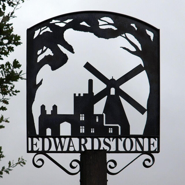
Edwardstone

Edwardstone is a village and civil parish in the Babergh district, in the county of Suffolk, England. The parish contains the hamlets of Mill Green, Priory...

Milden Thicks

Milden Thicks is a 42.3-hectare (105-acre) biological Site of Special Scientific Interest east of Great Waldingfield in Suffolk, England. It is in four...

Babergh Hundred

Babergh was a hundred of Suffolk, consisting of 71,882 acres (290.90 km2). Its name survives in that of Babergh District, the local government district...

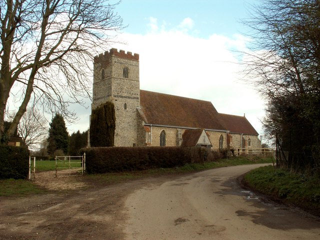
All Saints Church, Newton Green

All Saints Church is a partly redundant Anglican church in the village of Newton Green, Suffolk, England. It is recorded in the National Heritage List...

Little Waldingfield

Little Waldingfield is a village and civil parish in Suffolk, England. Located two miles from its sister village, Great Waldingfield, it is part of the...

Newton, Suffolk

Newton, also known as Newton Green to distinguish it from Nowton near Bury St Edmunds, and Old Newton near Stowmarket, is a small village and civil parish...

Groton, Suffolk

Groton is a village and civil parish in the Babergh district, Suffolk, England, located around a mile north of the A1071 between Hadleigh and Sudbury....

Nearby Amenities

Located within 500m of 52.051817,0.82008008
Bus Stop
Lynn's Hall
Naptan AtcoCode: 390010215
Naptan Bearing: S
Naptan BusStopType: CUS
Naptan CommonName: Lynn's Hall
Naptan Indicator: o/s
Naptan Landmark: Lynn's Hall
Naptan NaptanCode: sufadpgp
Naptan Street: Church Road
Naptan Verified: no
Source: naptan_import
Lat/Long: 52.0560295/0.8222612
Bus Stop
Lynn's Hall
Naptan AtcoCode: 390010216
Naptan Bearing: N
Naptan BusStopType: CUS
Naptan CommonName: Lynn's Hall
Naptan Indicator: opp
Naptan Landmark: Lynn's Hall
Naptan NaptanCode: sufadpgt
Naptan Street: Church Road
Naptan Verified: no
Source: naptan_import
Lat/Long: 52.0559425/0.822139
The data included in this document is from www.openstreetmap.org. The data is made available under ODbL.

Have you been to Stallington Wood?

Leave your review of Stallington Wood below (or comments, questions and feedback).