Ashen Grove Wood
Wood, Forest in Kent Ashford
England
Ashen Grove Wood

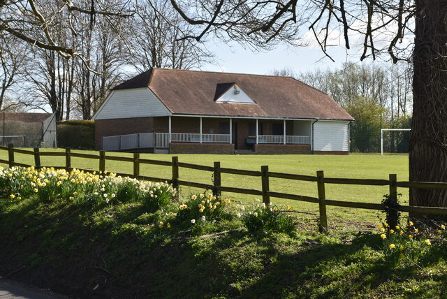
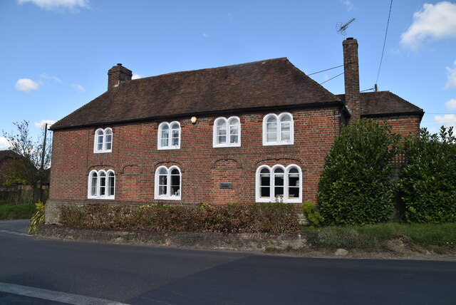
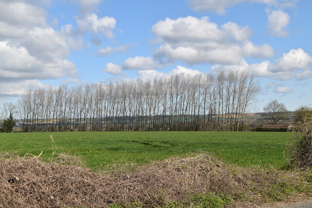
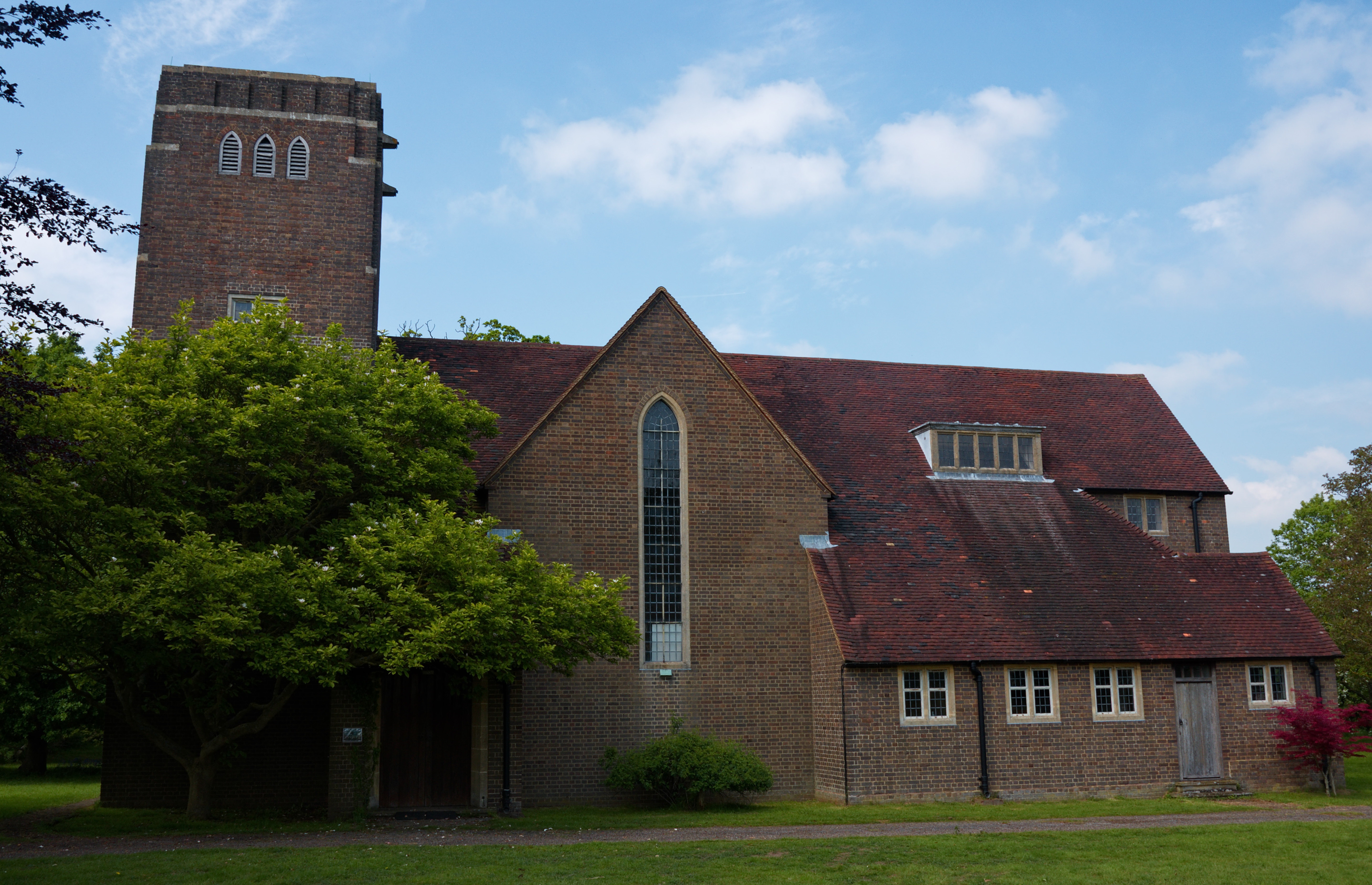
Ashen Grove Wood, located in Kent, is a stunning natural woodland that covers a vast area of approximately 200 acres. It is a renowned site for nature enthusiasts and walkers alike, offering a tranquil escape from the bustling city life. The wood is situated on the outskirts of a small village, surrounded by rolling hills and picturesque landscapes.
The forest is primarily composed of native broadleaf trees, including oak, beech, and ash, which create a dense canopy overhead, providing shade and shelter for a diverse range of flora and fauna. The forest floor is covered in a thick layer of leaf litter, creating a natural carpet of decaying organic matter.
One of the distinctive features of Ashen Grove Wood is its network of well-maintained footpaths and trails, allowing visitors to explore the woodland at their own pace. These paths wind through the trees, offering glimpses of wildlife such as squirrels, deer, and a variety of bird species. The wood is also home to a number of rare and protected plant species, making it an important conservation site.
The tranquility and beauty of Ashen Grove Wood make it a popular destination for outdoor enthusiasts and photographers. The changing seasons bring a kaleidoscope of colors, from the vibrant greens of spring to the rich reds and golds of autumn. The wood is particularly stunning during bluebell season when the forest floor is carpeted in a sea of delicate blue flowers.
Overall, Ashen Grove Wood is a natural treasure in Kent, offering a peaceful retreat and a chance to reconnect with nature.
If you have any feedback on the listing, please let us know in the comments section below.
Ashen Grove Wood Images
Images are sourced within 2km of 51.18437/0.76614261 or Grid Reference TQ9346. Thanks to Geograph Open Source API. All images are credited.


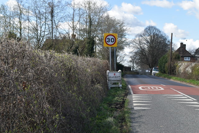
![Village sign, Pluckley King George VI recommended that the old custom of identifying villages with carved or painted name signs could be revived. In 1920, Biddenden had won a Daily Mail competition for a sign featuring the two Biddenden Maids.
More villages followed, especially in 1953, the Coronation of Queen Elizabeth II. More signs have been put up due to the Millennium. This has meant half of the county villages are identified.]
See also <a title="https://www.geograph.org.uk/article/Kent-Village-Signs" href="https://www.geograph.org.uk/article/Kent-Village-Signs">Link</a> , an article on Kent Village Signs](https://s2.geograph.org.uk/geophotos/06/96/09/6960930_24d02c9f.jpg)
![Village sign, Pluckley King George VI recommended that the old custom of identifying villages with carved or painted name signs could be revived. In 1920, Biddenden had won a Daily Mail competition for a sign featuring the two Biddenden Maids.
More villages followed, especially in 1953, the Coronation of Queen Elizabeth II. More signs have been put up due to the Millennium. This has meant half of the county villages are identified.]
See also <a title="https://www.geograph.org.uk/article/Kent-Village-Signs" href="https://www.geograph.org.uk/article/Kent-Village-Signs">Link</a> , an article on Kent Village Signs](https://s0.geograph.org.uk/geophotos/06/96/09/6960932_1ec72963.jpg)
Ashen Grove Wood is located at Grid Ref: TQ9346 (Lat: 51.18437, Lng: 0.76614261)
Administrative County: Kent
District: Ashford
Police Authority: Kent
What 3 Words
///thunder.nothing.redouble. Near Charing, Kent
Nearby Locations
Related Wikis
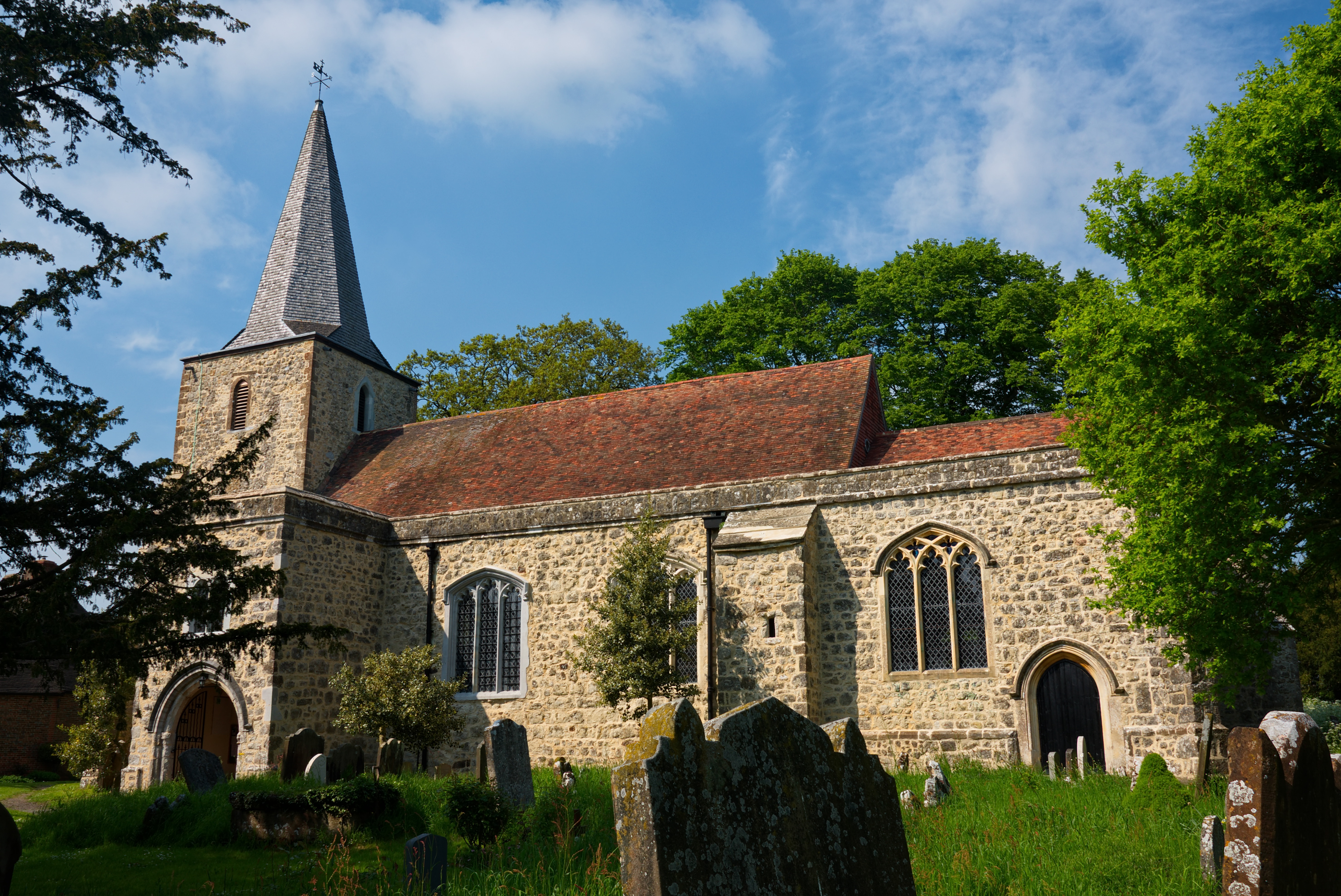
Pluckley
Pluckley is a village and civil parish in the Ashford district of Kent, England. The civil parish includes the adjacent hamlet of Pluckley Thorne. �...

Smarden
Smarden is a civil parish and village, west of Ashford in Kent, South East England. The village has the Anglican parish church of St Michael the Archangel...
Little Chart
Little Chart is a village and civil parish, situated 4 miles (6.4 km) north-west of Ashford in Kent, South East England. The parish lies south of the M20...

Stonebridge Green
Stonebridge Green is a settlement adjacent to, and within the civil parish of, Egerton in the Ashford District of Kent, England. It lies immediately north...
Volvo World Match Play Championship
The Volvo World Match Play Championship was an annual match play men's professional golf tournament which was staged from 1964 to 2014. The World Match...
2014 Volvo World Match Play Championship
The 2014 Volvo World Match Play Championship was the 49th Volvo World Match Play Championship to be played. It was held 15–19 October, with the champion...

List of local nature reserves in Kent
Kent is a county in the south-eastern corner of England. It is bounded to the north by Greater London and the Thames Estuary, to the west by Sussex and...
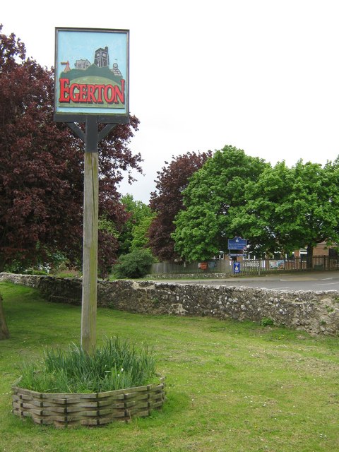
Egerton, Kent
Egerton is a village and civil parish in the Ashford District of Kent, England. The village is on the Greensand Ridge 9 miles (14.4 km) north of Ashford...
Nearby Amenities
Located within 500m of 51.18437,0.76614261Have you been to Ashen Grove Wood?
Leave your review of Ashen Grove Wood below (or comments, questions and feedback).