Hurst Wood
Wood, Forest in Kent Ashford
England
Hurst Wood

Hurst Wood, located in the county of Kent, is a serene and picturesque forest that offers a tranquil escape from the bustling city life. Covering an area of approximately 100 acres, this wood is an exquisite example of the natural beauty that Kent has to offer. The wood is primarily composed of deciduous trees, including oak, beech, and ash, which provide a stunning display of vibrant autumnal colors during the fall season.
Visitors to Hurst Wood can enjoy a range of activities, such as walking, cycling, and wildlife spotting. The well-maintained footpaths and trails make it easy for visitors to explore the wood and immerse themselves in the peaceful surroundings. The forest is home to a diverse range of flora and fauna, including various species of birds, butterflies, and wildflowers, making it a haven for nature enthusiasts.
The wood also holds historical significance, with remnants of ancient woodland dating back centuries. It is believed that Hurst Wood has been a part of the Kent landscape since medieval times, and its rich history is evident in the majestic trees and the sense of timelessness that permeates the forest.
Hurst Wood is a popular destination for both locals and tourists seeking solace in nature. With its idyllic setting, abundant wildlife, and rich historical heritage, it offers a memorable experience for all who visit. Whether it is a leisurely stroll through the wood, a family picnic, or simply finding solace in the peaceful surroundings, Hurst Wood is a true gem in the heart of Kent.
If you have any feedback on the listing, please let us know in the comments section below.
Hurst Wood Images
Images are sourced within 2km of 51.202344/0.76638931 or Grid Reference TQ9348. Thanks to Geograph Open Source API. All images are credited.


Hurst Wood is located at Grid Ref: TQ9348 (Lat: 51.202344, Lng: 0.76638931)
Administrative County: Kent
District: Ashford
Police Authority: Kent
What 3 Words
///rivals.back.shook. Near Charing, Kent
Nearby Locations
Related Wikis
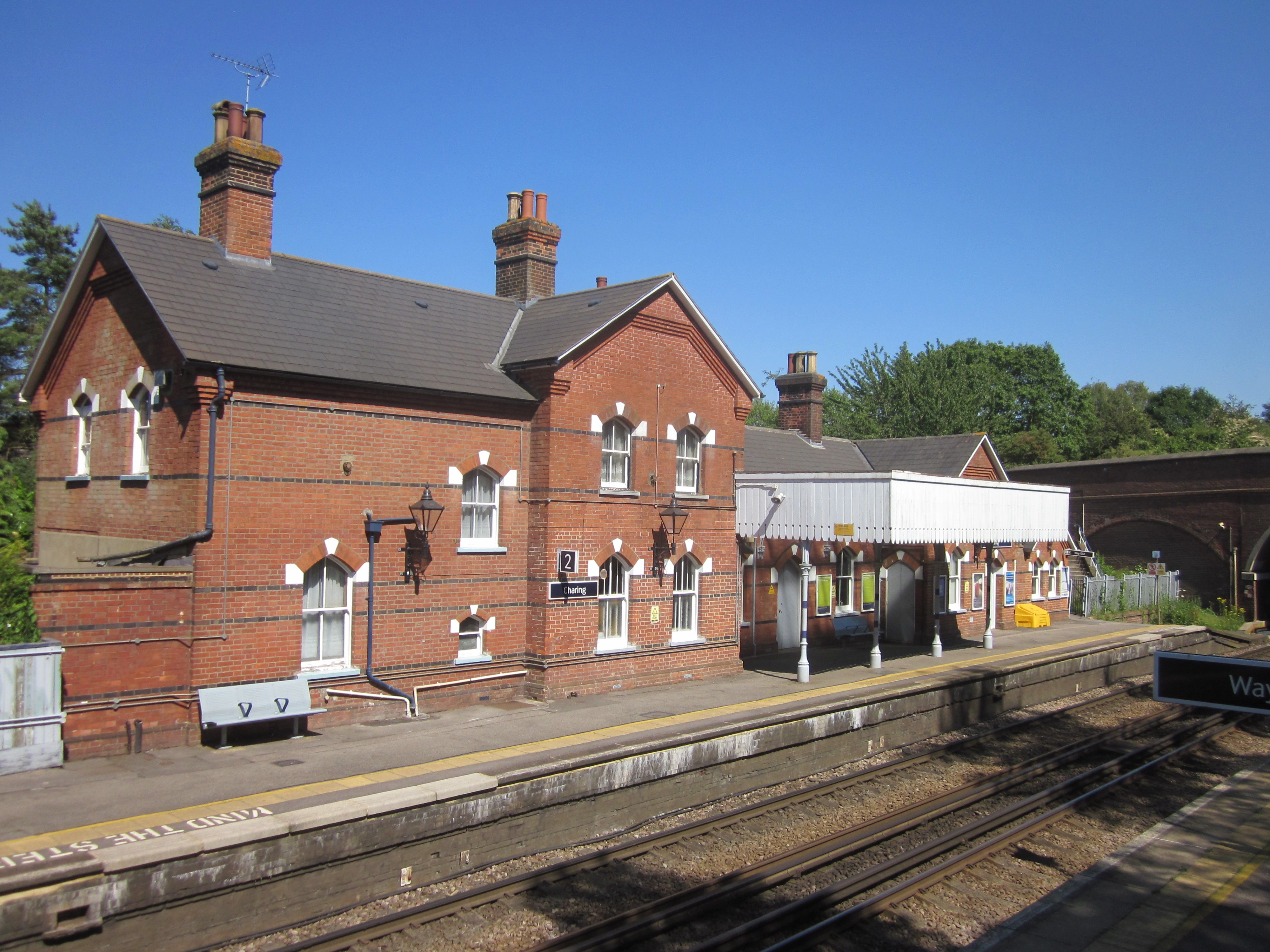
Charing railway station
Charing railway station serves the village of Charing in Kent, England. It is 53 miles 11 chains (85.5 km) down the line from London Victoria. The station...

Stonebridge Green
Stonebridge Green is a settlement adjacent to, and within the civil parish of, Egerton in the Ashford District of Kent, England. It lies immediately north...
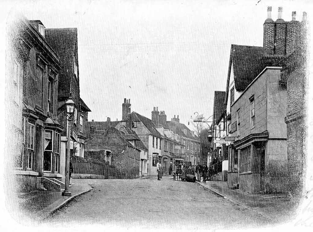
Charing
Charing is a village and civil parish in the Ashford District of Kent, in south-east England. It includes the settlements of Charing Heath and Westwell...
Lenham Heath
Lenham Heath is a hamlet in Kent situated on the southern edge of the North Downs, halfway between Maidstone and Ashford. grid reference TQ910500. The...
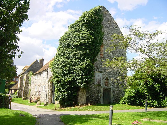
Archbishop's Palace, Charing
Archbishop's Palace, Charing, is an important heritage site dating back to the eighth century, and one of the earliest to be owned by the see of Canterbury...
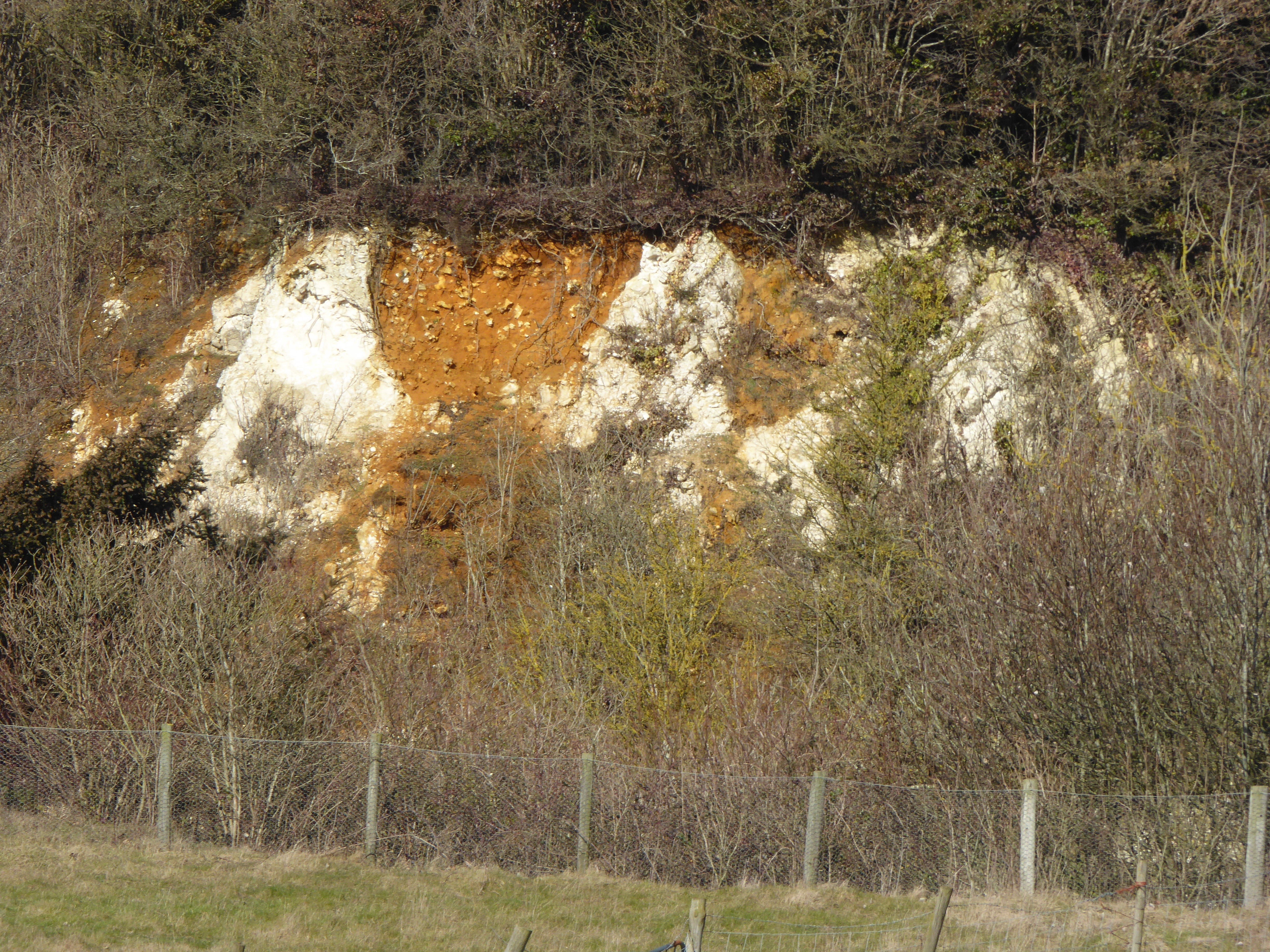
Hart Hill, Kent
Hart Hill is a 1.4-hectare (3.5-acre) geological Site of Special Scientific Interest north-west of Charing Kent. It is a Geological Conservation Review...
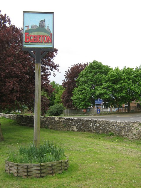
Egerton, Kent
Egerton is a village and civil parish in the Ashford District of Kent, England. The village is on the Greensand Ridge 9 miles (14.4 km) north of Ashford...
Little Chart
Little Chart is a village and civil parish, situated 4 miles (6.4 km) north-west of Ashford in Kent, South East England. The parish lies south of the M20...
Nearby Amenities
Located within 500m of 51.202344,0.76638931Have you been to Hurst Wood?
Leave your review of Hurst Wood below (or comments, questions and feedback).