Mace Wood

Wood, Forest in Kent Ashford

England

Mace Wood

Derelict-looking chicken sheds, Plurenden Road These are the kinds of sheds that are used to house chickens, where the birds are kept in cages. These are arranged in tiers so that any eggs, the chickens lay, run down into wire containers outside the cages.
Derelict-looking chicken sheds, Plurenden Road Credit: John Baker

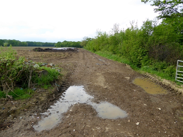
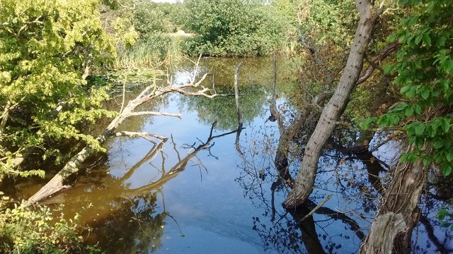
Mace Wood, located in Kent, England, is a picturesque forest known for its natural beauty and rich biodiversity. With a total area of approximately 100 hectares, it offers visitors a peaceful retreat from the hustle and bustle of city life.

The woodland is primarily composed of native tree species such as oak, beech, and birch, creating a diverse and vibrant ecosystem. The dense canopy provides shade, making it a perfect habitat for a variety of wildlife including deer, rabbits, squirrels, and a multitude of bird species.

Mace Wood is a popular destination for nature lovers, hikers, and birdwatchers. The well-maintained trails meander through the forest, offering stunning views of the surrounding landscape. These paths are suitable for both casual strollers and more adventurous hikers, catering to a wide range of abilities.

One of the highlights of Mace Wood is its tranquil atmosphere. The forest is relatively secluded, allowing visitors to immerse themselves in the sounds of nature and escape the noise of the outside world. The peacefulness of the woodland makes it an ideal location for meditation, photography, or simply taking a break from the daily grind.

The woodland is also home to several designated picnic areas, where visitors can enjoy a meal surrounded by the beauty of nature. These spots are equipped with benches and tables, making them perfect for family outings or a romantic picnic for two.

Overall, Mace Wood in Kent offers a serene and enchanting experience for anyone seeking solace in the midst of nature. Its diverse flora and fauna, well-maintained trails, and peaceful atmosphere make it a must-visit destination for nature enthusiasts and those looking to reconnect with the natural world.

If you have any feedback on the listing, please let us know in the comments section below.
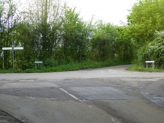
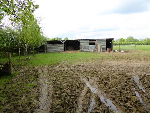
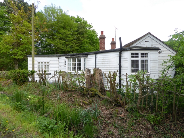
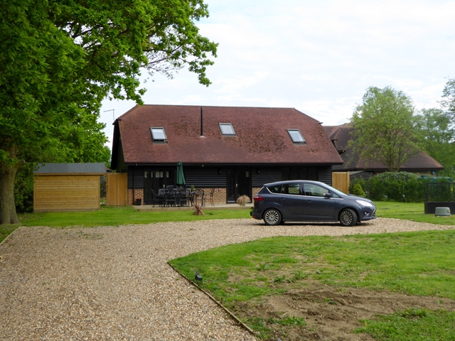
Mace Wood Images

Images are sourced within 2km of 51.105401/0.74627971 or Grid Reference TQ9237. Thanks to Geograph Open Source API. All images are credited.

Derelict-looking chicken sheds, Plurenden Road These are the kinds of sheds that are used to house chickens, where the birds are kept in cages. These are arranged in tiers so that any eggs, the chickens lay, run down into wire containers outside the cages.
Derelict-looking chicken sheds, Plurenden Road
These are the kinds of sheds that are used to house chickens, where the birds are kept in cages. These are arranged in tiers so that any eggs, the chickens lay, run down into wire containers outside the cages.
Cuckolds Corner The intersection of Plurenden Road and Redbrook Street. There must be a story behind the name.
Cuckolds Corner
The intersection of Plurenden Road and Redbrook Street. There must be a story behind the name.
Muddy field and makeshift stable Off Plurenden Road.
Muddy field and makeshift stable
Off Plurenden Road.
Roadside cottage on Plurenden Road
Appleyard Barn Barn conversion let as five-star self-catering accommodation.
Appleyard Barn
Barn conversion let as five-star self-catering accommodation.
Field entrance off Plurenden Road
Old Milestone by the A28, Ashford Road, east of High Halden Metal plate attached to stone post by the A28, in parish of HIGH HALDEN (ASHFORD District), East of village near double bend, on verge, East of "50" sign, on South side of road. Tenterden marker, erected by the Bethersden turnpike trust in the 19th century. 

Inscription once read:-
: (TENTERDEN / 4) : : (ASHFORD / 8) : : (CANTE)RBURY / 18 :  

Milestone Society National ID: KE_TTAF04.
Old Milestone by the A28, Ashford Road, east of High Halden
Metal plate attached to stone post by the A28, in parish of HIGH HALDEN (ASHFORD District), East of village near double bend, on verge, East of "50" sign, on South side of road. Tenterden marker, erected by the Bethersden turnpike trust in the 19th century. Inscription once read:- : (TENTERDEN / 4) : : (ASHFORD / 8) : : (CANTE)RBURY / 18 : Milestone Society National ID: KE_TTAF04.
Old Milestone by the A28, Ashford Road, east of High Halden Metal plate attached to stone post by the A28 (?plate lost?), in parish of HIGH HALDEN (ASHFORD District), E of village near double bend, on verge, E of "50" sign, on South side of road. Tenterden marker, erected by the Bethersden turnpike trust in the 19th century.

Inscription once read:- : (TENTERDEN / 4) : : (ASHFORD / 8) : : (CANTE)RBURY / 18 :

Milestone Society National ID: KE_TTAF04.
Old Milestone by the A28, Ashford Road, east of High Halden
Metal plate attached to stone post by the A28 (?plate lost?), in parish of HIGH HALDEN (ASHFORD District), E of village near double bend, on verge, E of "50" sign, on South side of road. Tenterden marker, erected by the Bethersden turnpike trust in the 19th century. Inscription once read:- : (TENTERDEN / 4) : : (ASHFORD / 8) : : (CANTE)RBURY / 18 : Milestone Society National ID: KE_TTAF04.
Oaktree Farm, Plurenden Road This was <a href="https://www.geograph.org.uk/photo/3872089">TQ9137 : Oaktree Farm, Plurenden Road</a> in February 2014. The garage was built circa 2015.
Oaktree Farm, Plurenden Road
This was TQ9137 : Oaktree Farm, Plurenden Road in February 2014. The garage was built circa 2015.
New buildings, Plurenden Road There used to be <a href="https://www.geograph.org.uk/photo/4607775">TQ9137 : Derelict-looking chicken sheds, Plurenden Road</a> on this site.
New buildings, Plurenden Road
Pond near Twenty Acre Wood, Bethersden A typical Low Weald pond.
Pond near Twenty Acre Wood, Bethersden
A typical Low Weald pond.
Bethersden, Langham Lodge Farm: Newly laid track
Bethersden: Holstein Barn and Kestrel View
Bethersden: Bungalow
Bethersden: Ramsden Farm Oast House
Bethersden: Chequer Tree Farm
Bethersden: Heather Farm
Show me another place!

Mace Wood is located at Grid Ref: TQ9237 (Lat: 51.105401, Lng: 0.74627971)

Administrative County: Kent

District: Ashford

Police Authority: Kent

What 3 Words

///slung.thickened.defends. Near High Halden, Kent

Related Wikis

National Cycle Route 18

National Cycle Route 18 (NCR18) runs from Canterbury to Royal Tunbridge Wells. It follows the valley of the River Stour to Ashford and then runs through...

High Halden

High Halden is a village and civil parish in the Ashford District of Kent, England. The village is on the A28 road between Ashford and Tenterden, 3 miles...

Shirkoak

Shirkoak is a hamlet in the civil parish of Woodchurch, southwest of the town of Ashford in Kent, England. == External links == Media related to Shirkoak...

Bethersden

Bethersden is a village and civil parish in the borough of Ashford in Kent, England, 5 miles (8 km) west of the town of Ashford. Located on the main road...

RAF Woodchurch

Royal Air Force Woodchurch, or more simply RAF Woodchurch, is a former Royal Air Force Advanced Landing Ground located in Kent, England. The airfield...

Lower Mill, Woodchurch

Lower Mill is a smock mill in Woodchurch, Kent, England that was built in 1820. It is a Scheduled Ancient Monument and a Grade II* listed building. �...
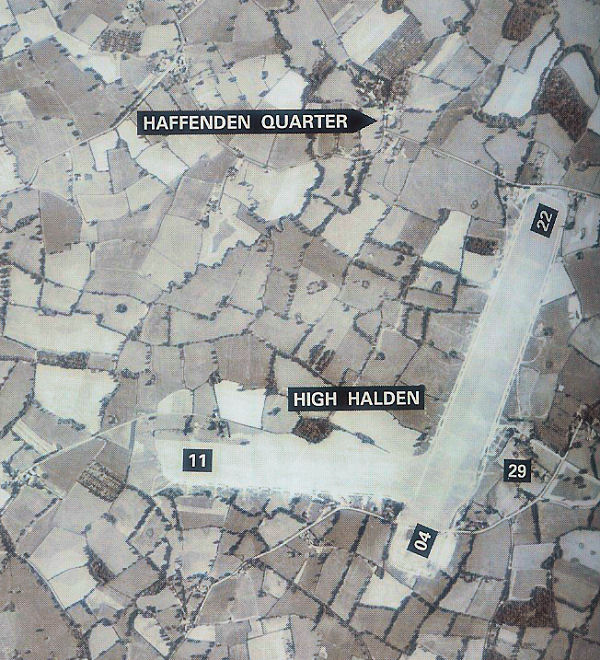
RAF High Halden

Royal Air Force High Halden or more simply RAF High Halden is a former Royal Air Force Advanced Landing Ground in Kent, England. The airfield is located...

Ashford (UK Parliament constituency)

Ashford is a constituency in Kent created in 1885 and represented in the House of Commons of the UK Parliament since 1997 by Damian Green, a Conservative...

Nearby Amenities

Located within 500m of 51.105401,0.74627971
The data included in this document is from www.openstreetmap.org. The data is made available under ODbL.

Have you been to Mace Wood?

Leave your review of Mace Wood below (or comments, questions and feedback).