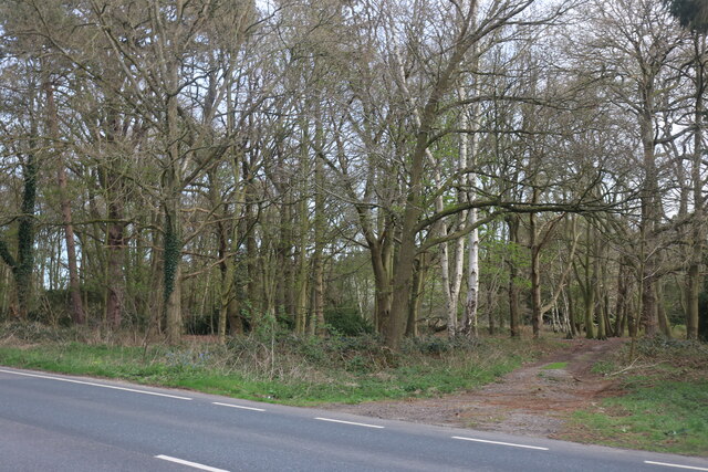
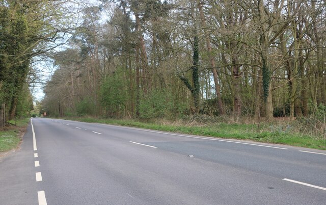
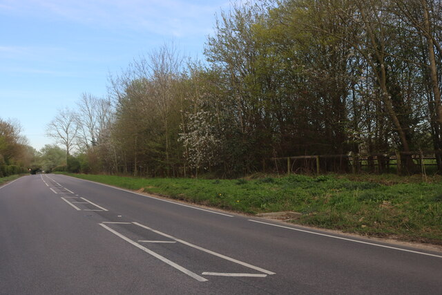
Thetford Wood
Wood, Forest in Norfolk Breckland
England
Thetford Wood
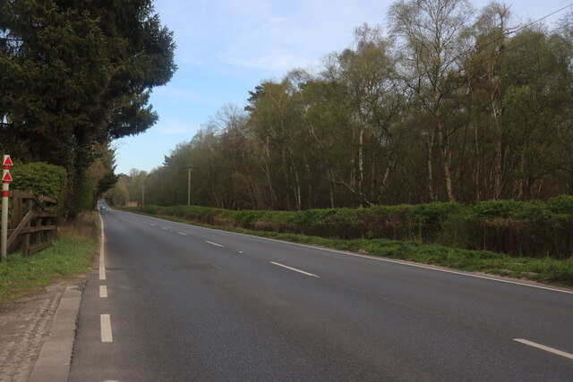
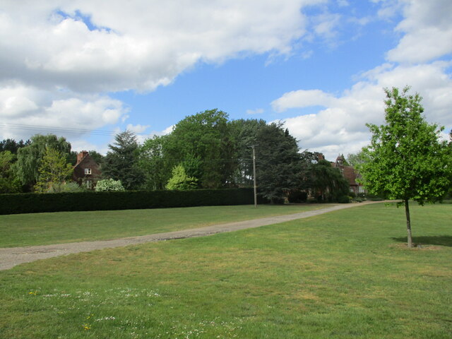
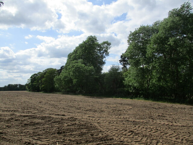
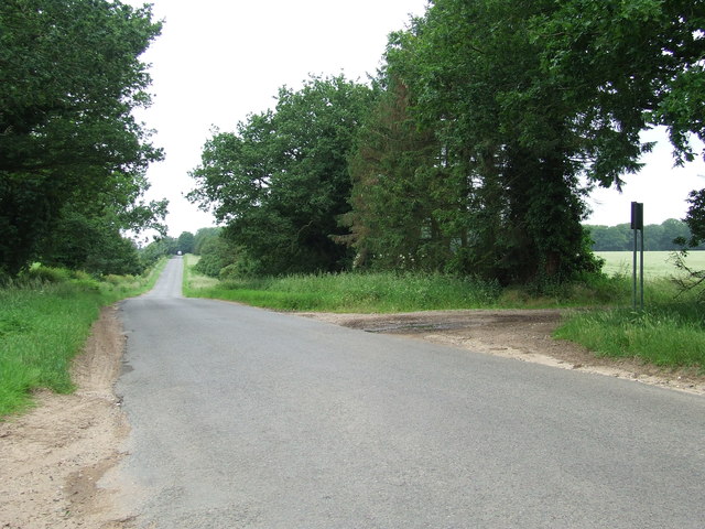
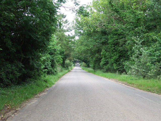
Thetford Wood is a picturesque forest located in the county of Norfolk, England. Spanning over 4,000 acres, it is one of the largest areas of ancient woodland in the region. The wood is nestled within Thetford Forest Park, which covers a vast area of over 18,730 acres and is managed by the Forestry Commission.
The wood is characterized by its diverse range of tree species, including oak, beech, pine, and birch. These trees create a dense and vibrant canopy, providing a haven for a rich variety of wildlife. Visitors to Thetford Wood can expect to encounter an array of bird species, such as woodpeckers and nightingales, as well as mammals like deer, foxes, and badgers.
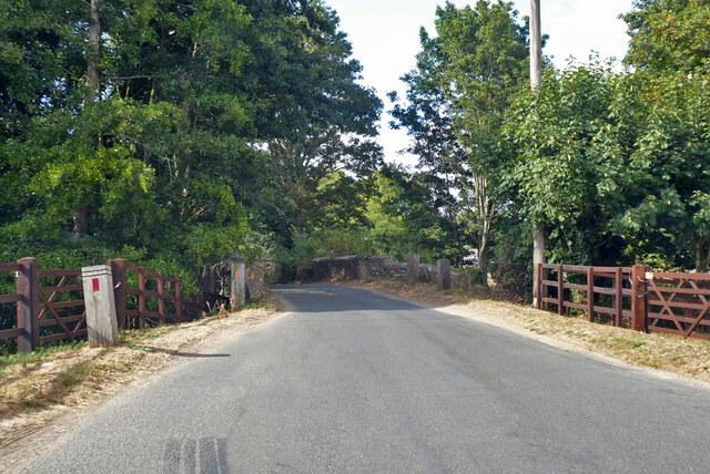
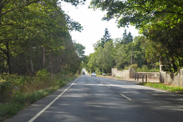
The forest offers a network of well-maintained trails and paths, allowing visitors to explore its natural beauty on foot, bike, or horseback. There are also designated picnic areas and viewpoints that offer stunning vistas of the surrounding landscape.
Thetford Wood is not only a haven for nature enthusiasts but also a site of historical significance. It is dotted with remnants of ancient settlements, including Bronze Age burial mounds and Iron Age forts. Additionally, the wood was once part of the hunting grounds of the medieval Thetford Priory.
Overall, Thetford Wood is a captivating destination that combines natural beauty, biodiversity, and historical charm. It offers an ideal setting for outdoor activities, wildlife spotting, and a peaceful retreat into nature.
If you have any feedback on the listing, please let us know in the comments section below.
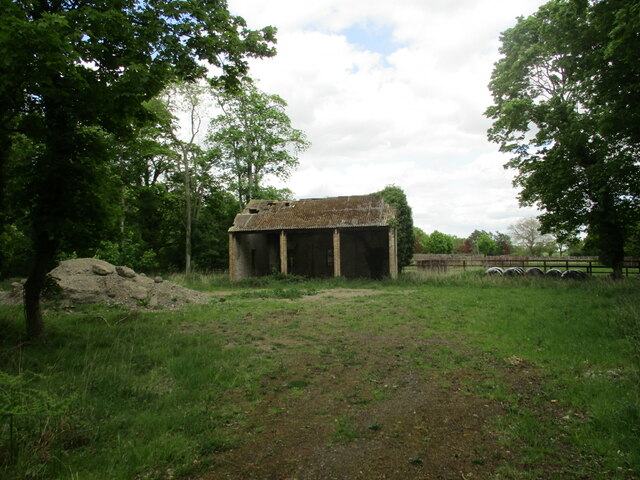
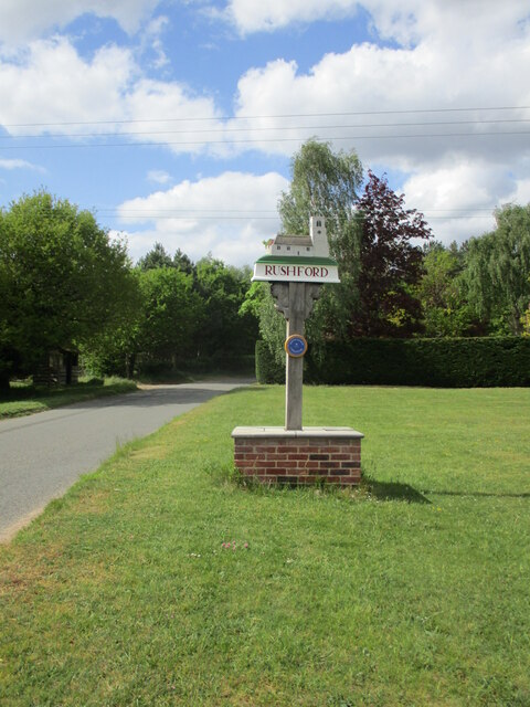
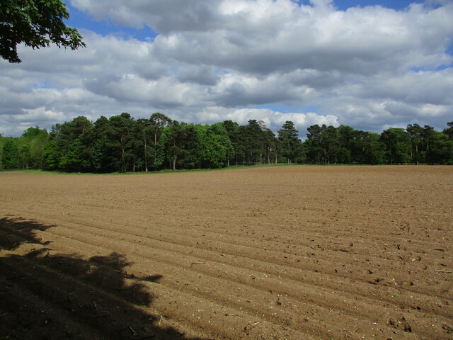
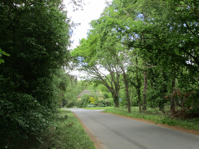
Thetford Wood Images
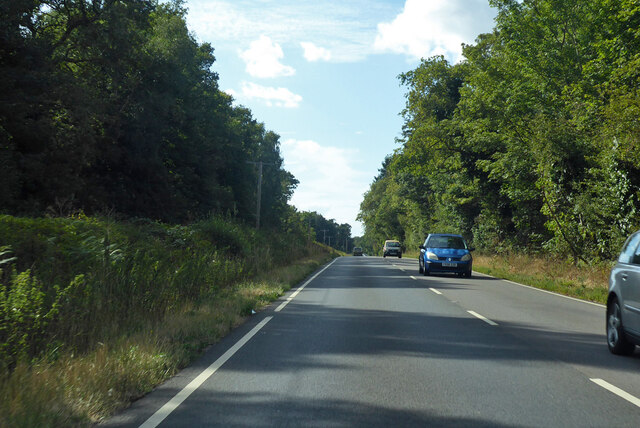
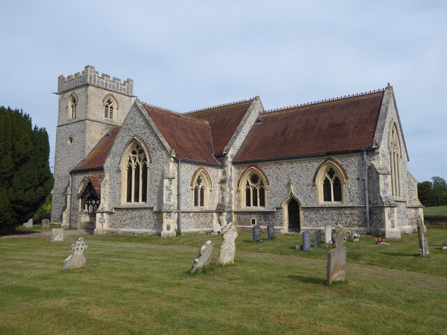
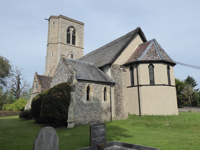
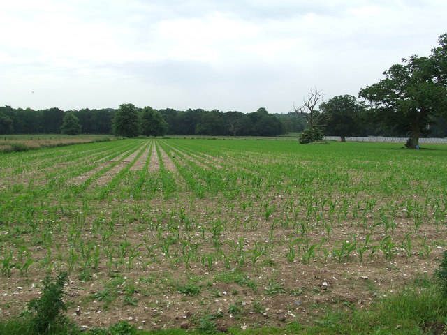
Images are sourced within 2km of 52.406464/0.81793904 or Grid Reference TL9182. Thanks to Geograph Open Source API. All images are credited.
Thetford Wood is located at Grid Ref: TL9182 (Lat: 52.406464, Lng: 0.81793904)
Administrative County: Norfolk
District: Breckland
Police Authority: Norfolk
What 3 Words
///struggle.spindles.altering. Near Thetford, Norfolk
Nearby Locations
Related Wikis

Rushford, Norfolk
Rushford is a small village in the civil parish of Brettenham, in the Breckland district, in the county of Norfolk, England. It is situated on the north...

Shadwell Court
Shadwell Court, Brettenham, Norfolk, England is a country house dating originally from the 18th century. Built for the Buxton baronets, the house was massively...

Brettenham, Norfolk
Brettenham is a village and civil parish in the English county of Norfolk. It covers an area of 26.37 km2 (10.18 sq mi) and had a population of 475 in...

Kilverstone Hall
Kilverstone Hall is a Grade II listed building in Kilverstone in Norfolk, England. == History == Kilverstone Hall is a country house built in the early...
Nearby Amenities
Located within 500m of 52.406464,0.81793904Have you been to Thetford Wood?
Leave your review of Thetford Wood below (or comments, questions and feedback).